
- Afrikaans
- Albanian
- Amharic
- Arabic
- Armenian
- Azerbaijani
- Basque
- Belarusian
- Bengali
- Bosnian
- Bulgarian
- Catalan
- Cebuano
- China
- Corsican
- Croatian
- Czech
- Danish
- Dutch
- English
- Esperanto
- Estonian
- Finnish
- French
- Frisian
- Galician
- Georgian
- German
- Greek
- Gujarati
- Haitian Creole
- hausa
- hawaiian
- Hebrew
- Hindi
- Miao
- Hungarian
- Icelandic
- igbo
- Indonesian
- irish
- Italian
- Japanese
- Javanese
- Kannada
- kazakh
- Khmer
- Rwandese
- Korean
- Kurdish
- Kyrgyz
- Lao
- Latin
- Latvian
- Lithuanian
- Luxembourgish
- Macedonian
- Malgashi
- Malay
- Malayalam
- Maltese
- Maori
- Marathi
- Mongolian
- Myanmar
- Nepali
- Norwegian
- Norwegian
- Occitan
- Pashto
- Persian
- Polish
- Portuguese
- Punjabi
- Romanian
- Russian
- Samoan
- Scottish Gaelic
- Serbian
- Sesotho
- Shona
- Sindhi
- Sinhala
- Slovak
- Slovenian
- Somali
- Spanish
- Sundanese
- Swahili
- Swedish
- Tagalog
- Tajik
- Tamil
- Tatar
- Telugu
- Thai
- Turkish
- Turkmen
- Ukrainian
- Urdu
- Uighur
- Uzbek
- Vietnamese
- Welsh
- Bantu
- Yiddish
- Yoruba
- Zulu
Satellites
Satellites are artificial objects placed in orbit around celestial bodies to collect data, enable communication, and support scientific research. They play a crucial role in navigation,weather forecasting, military operations, and space exploration, significantly impacting modern technology and daily life.
-
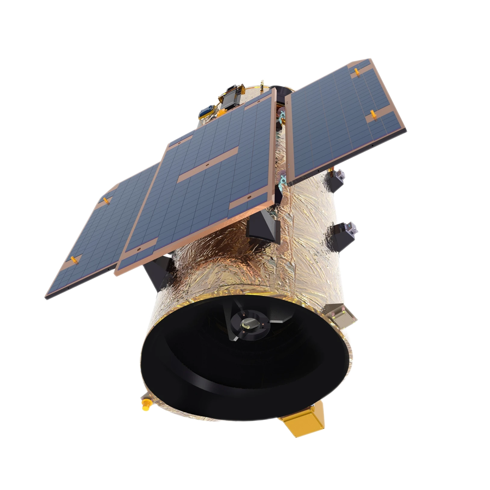
GF Series Satellites With A Resolution Of 0.5m
Learn More Now >
-
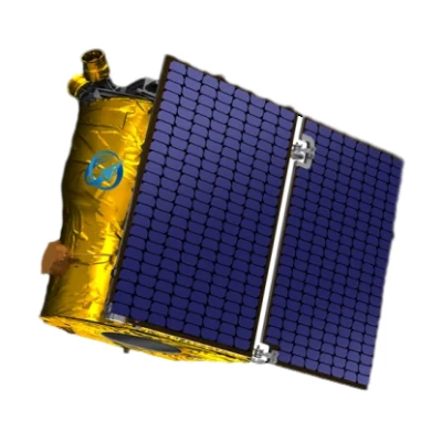
GF Series Satellites With A Resolution Of 0.75m
Learn More Now >
-
1m Resolution Video Satellite
Learn More Now >
-
Multispectral GP Satellite
Learn More Now >
-
150km Swath Width Kf Satellite
Learn More Now >
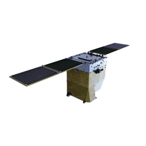
-
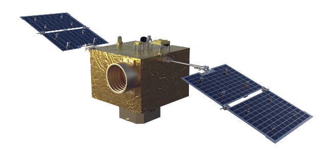
Flight Platform
Learn More Now >
Interested in learning more about our advanced satellite technology and solutions?
Completely synergize resource taxing relationships via premier niche markets professionally.
Contact UsWhat Are The Different Types Of Satellites And Their Functions?
Satellites are classified based on their function and the type of orbit they operate in. The main types of satellites include communication satellites, Earth observation satellites, navigation satellites, scientific satellites, and military satellites. Each of these serves a specific purpose and contributes to various industries.Communication satellites are used to transmit television, radio, and internet signals across the globe. They facilitate seamless global communication, ensuring that people in remote areas have access to essential connectivity services. These satellites are positioned in geostationary orbit, allowing them to cover a vast area without frequent repositioning.Earth observation satellites, also known as remote sensing satellites, monitor environmental changes, track natural disasters, and support agricultural and resource management. They provide high-resolution imagery that helps governments, researchers, and businesses make informed decisions regarding climate change, deforestation, and urban planning.Navigation satellites, such as those in the Global Positioning System (GPS), enable accurate location tracking for transportation, military, and personal use. These satellites continuously transmit signals that allow devices on Earth to determine their precise location, enhancing navigation for airlines, shipping companies, and individual users.Scientific satellites are launched to study space, planets, and other celestial bodies. These include telescopes like the Hubble Space Telescope, which provides breathtaking images of deep space, helping scientists understand the universe's origins and properties.Military satellites support national security efforts by gathering intelligence, tracking missile launches, and conducting surveillance. These highly classified satellites play a crucial role in defense strategies and geopolitical stability.Overall, satellites have transformed modern society, improving communication, navigation, research, and security. Their continuous development will further expand human capabilities in space and on Earth.
Types of Satellites and Their Applications
-
 Communication SatellitesTransmit television, radio, and internet signals worldwide, ensuring global connectivity.
 -
 Earth Observation SatellitesMonitor environmental changes, track natural disasters, and assist in agriculture and urban planning.
 -
 Navigation SatellitesProvide precise location tracking for GPS, aviation, and maritime industries, enhancing transportation safety.
 -
 Scientific and Military SatellitesSupport space exploration, deep-space research, defense operations, and national security efforts.


