- Afrikaans
- Albanian
- Amharic
- Arabic
- Armenian
- Azerbaijani
- Basque
- Belarusian
- Bengali
- Bosnian
- Bulgarian
- Catalan
- Cebuano
- China
- Corsican
- Croatian
- Czech
- Danish
- Dutch
- English
- Esperanto
- Estonian
- Finnish
- French
- Frisian
- Galician
- Georgian
- German
- Greek
- Gujarati
- Haitian Creole
- hausa
- hawaiian
- Hebrew
- Hindi
- Miao
- Hungarian
- Icelandic
- igbo
- Indonesian
- irish
- Italian
- Japanese
- Javanese
- Kannada
- kazakh
- Khmer
- Rwandese
- Korean
- Kurdish
- Kyrgyz
- Lao
- Latin
- Latvian
- Lithuanian
- Luxembourgish
- Macedonian
- Malgashi
- Malay
- Malayalam
- Maltese
- Maori
- Marathi
- Mongolian
- Myanmar
- Nepali
- Norwegian
- Norwegian
- Occitan
- Pashto
- Persian
- Polish
- Portuguese
- Punjabi
- Romanian
- Russian
- Samoan
- Scottish Gaelic
- Serbian
- Sesotho
- Shona
- Sindhi
- Sinhala
- Slovak
- Slovenian
- Somali
- Spanish
- Sundanese
- Swahili
- Swedish
- Tagalog
- Tajik
- Tamil
- Tatar
- Telugu
- Thai
- Turkish
- Turkmen
- Ukrainian
- Urdu
- Uighur
- Uzbek
- Vietnamese
- Welsh
- Bantu
- Yiddish
- Yoruba
- Zulu
Satellites
Satellites
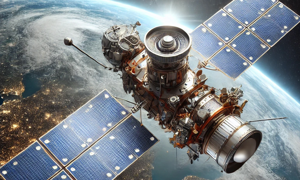
Satellites are widely used for communication, navigation, Earth observation, and scientific research. They play a crucial role in weather forecasting, global positioning systems (GPS), environmental monitoring, and disaster management. Satellites also support military and intelligence operations by providing real-time surveillance and reconnaissance. In the commercial sector, they enable television broadcasting, internet connectivity, and remote sensing applications for industries like agriculture and forestry.

Optical Camera
Optical Camera
Optical cameras are essential components of satellites and UAVs, used for capturing high-resolution images of the Earth's surface. These cameras are widely applied in environmental monitoring, urban planning, resource exploration, and disaster assessment. They also support defense and security operations by providing detailed imagery for intelligence gathering. In astronomy, optical cameras are used in space telescopes to observe distant celestial bodies.

Component
Component
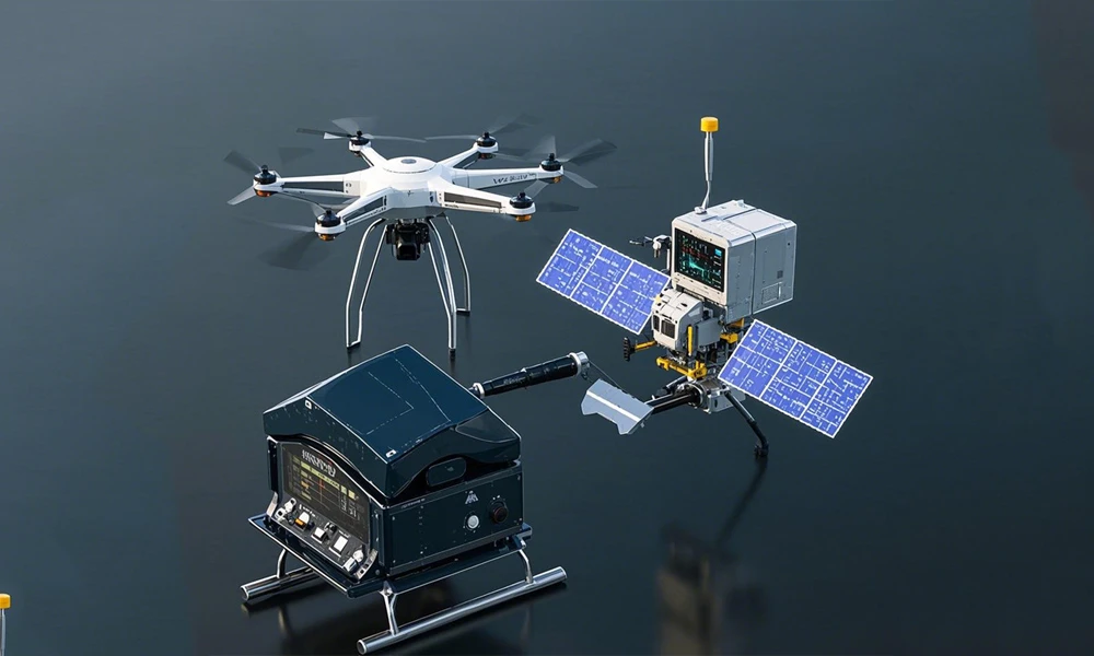
Components form the fundamental building blocks of various aerospace and defense systems. They include sensors, processors, power systems, and communication modules. In satellite systems, high-precision components ensure stable operation in extreme space conditions. In UAVs, advanced components enhance flight stability, data processing, and real-time transmission capabilities. High-quality components are essential for the reliability and performance of aerospace and electronic systems.

Instrument And Equipment
Instrument And Equipment
Instruments and equipment are vital for scientific research, industrial applications, and defense operations. In space missions, they include spectrometers, radiometers, and magnetometers for studying planetary atmospheres and cosmic phenomena. In Earth observation, instruments such as LiDAR and hyperspectral sensors help in environmental monitoring, climate studies, and resource management. UAVs also carry specialized instruments for aerial mapping, inspection, and security surveillance.

UAV
UAV
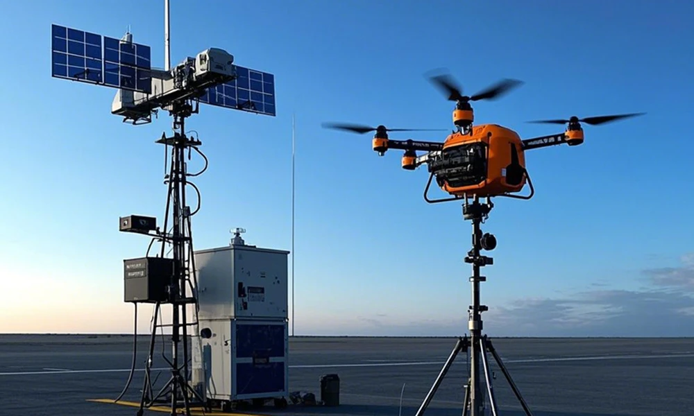
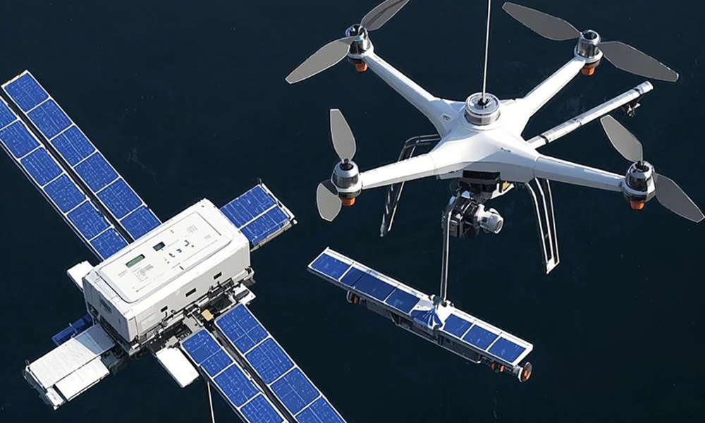
Unmanned Aerial Vehicles (UAVs) have diverse applications across industries, including agriculture, defense, logistics, and environmental monitoring. In military operations, UAVs provide reconnaissance, surveillance, and combat capabilities. In agriculture, they assist in crop monitoring, pesticide spraying, and yield estimation. UAVs are also used for disaster response, search and rescue missions, and infrastructure inspection, offering cost-effective and efficient solutions for various tasks.

Satellite Data
Satellite Data
Satellite data is a valuable resource for scientific, commercial, and governmental applications. It is used in weather forecasting, climate change analysis, and land-use planning. Industries such as agriculture, forestry, and mining rely on satellite data for resource management and operational planning. Governments and defense agencies use satellite imagery for border security, surveillance, and disaster response. With the advancement of AI and big data analytics, satellite data is increasingly used for predictive modeling and decision-making.


