- Aafrika
- albaanlane
- amhari
- araabia keel
- armeenlane
- Aserbaidžaan
- baski keel
- valgevenelane
- bengali
- bosnia keel
- bulgaaria keel
- katalaani
- Cebuano
- Hiina
- Korsika
- Horvaatia
- Tšehhi
- taani keel
- hollandi keel
- inglise keel
- esperanto
- eesti keel
- soome keel
- prantsuse keel
- friisi keel
- Galicia
- Gruusia keel
- saksa keel
- kreeka keel
- gudžarati
- Haiti kreool
- Hausa
- havai
- heebrea keel
- Ei
- Miao
- ungari
- islandi
- igbo
- Indoneesia
- iirlane
- itaalia keel
- Jaapani
- jaava keel
- kannada
- kasahhi
- khmeerid
- Rwanda
- korea keel
- kurdi
- kirgiisi
- Tööjõud
- ladina keel
- lätlane
- Leedu
- Luksemburgi keel
- makedoonlane
- Madagaskari
- malai
- malajalami
- malta keel
- maoorid
- marati
- mongoli keel
- Myanmar
- Nepali
- norra keel
- norra keel
- oksitaan
- puštu
- pärslane
- poola keel
- portugali keel
- pandžabi
- rumeenlane
- vene keel
- Samoa
- šoti gaeli keel
- serblane
- inglise keel
- Shona
- Sindhi
- singali keel
- slovaki
- Sloveenia
- Somaalia
- hispaania keel
- sundalane
- suahiili keel
- rootsi keel
- tagalog
- tadžiki
- tamili keel
- tatarlane
- telugu
- Tai
- türgi keel
- türkmeen
- ukrainlane
- urdu
- uiguurid
- usbeki keel
- vietnamlane
- kõmri
- Abi
- jidiš
- joruba
- suulu
Satelliidid
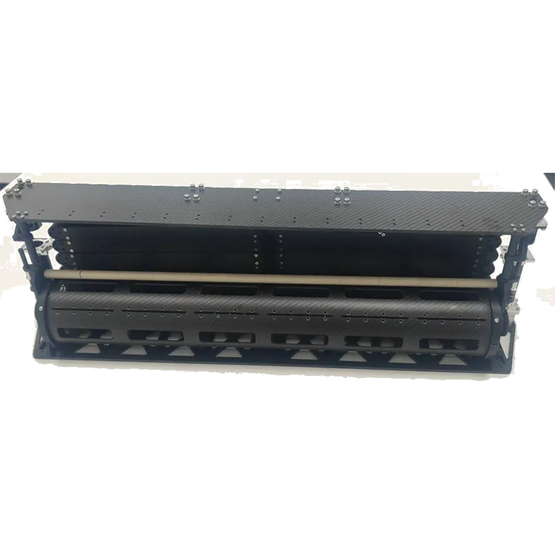
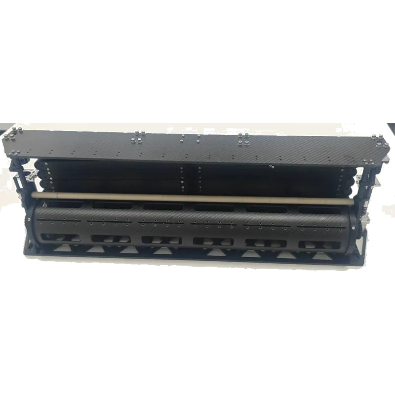
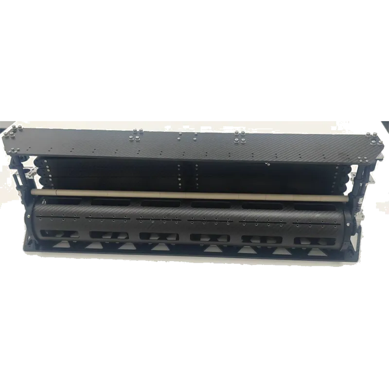
Satellites are artificial objects placed in orbit around celestial bodies to collect data, enable communication, and support scientific research. A well-designed satellite platform or cubesat bus provides the structural and functional backbone for these missions. They play a crucial role in navigation, weather forecasting, military operations, and satellite platform in remote sensing, significantly impacting modern technology and daily life.
-
GF-seeria satelliidid eraldusvõimega 0,5 m
Lisateavet kohe >
-
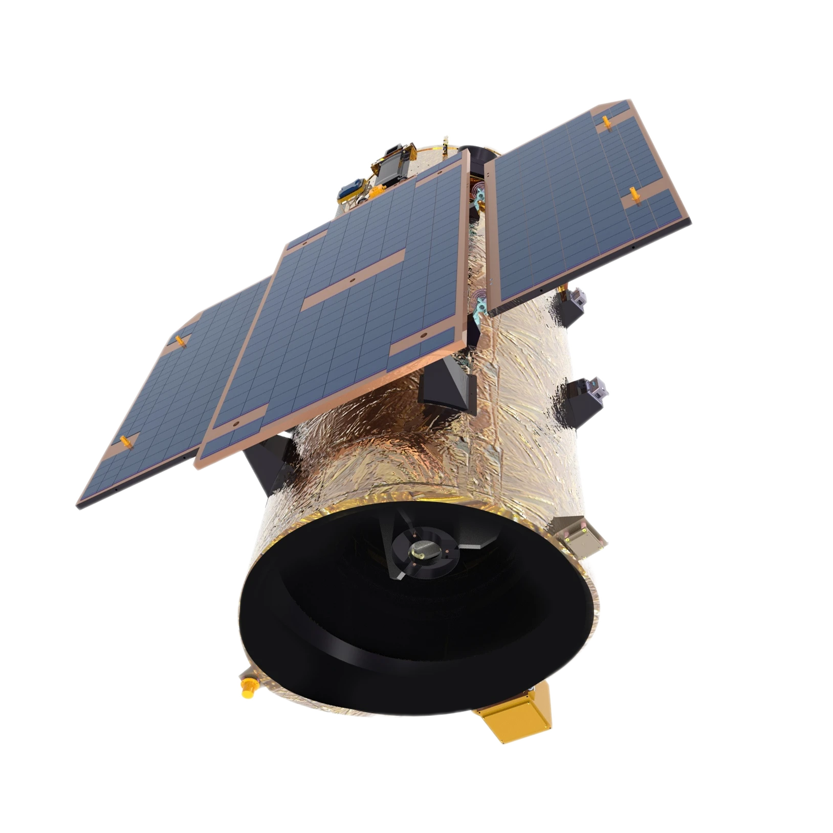
GF-seeria satelliidid eraldusvõimega 0,75 m
Lisateavet kohe >
-
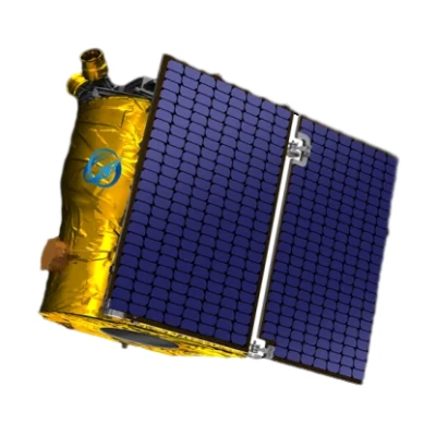
1 m eraldusvõimega videosatelliit
Lisateavet kohe >
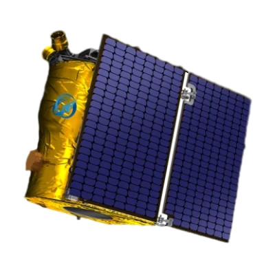
-
Multispektraalne GP satelliit
Lisateavet kohe >
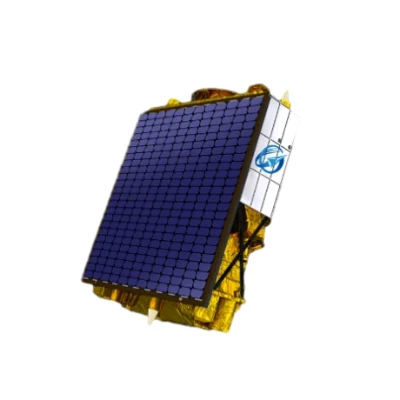
-
150 km vaalu laius Kf satelliit
Lisateavet kohe >
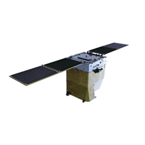
-
Lennuplatvorm
Lisateavet kohe >
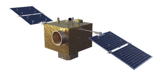
Kas soovite rohkem teada saada meie täiustatud satelliittehnoloogia ja -lahenduste kohta?
Täielikult sünergistage ressursside maksustamise suhteid professionaalsete nišiturgude kaudu.
Võtke meiega ühendustMillised on eri tüüpi satelliidid ja nende funktsioonid?
Satellites are classified based on their function and the type of orbit they operate in. The main types of satellites include communication satellites, Earth observation satellites, navigation satellites, scientific satellites. Each of these serves a specific purpose and contributes to various industries.Communication satellites are used to transmit television, radio, and internet signals across the globe. They facilitate seamless global communication, ensuring that people in remote areas have access to essential connectivity services.These satellites are positioned in geostationary orbit, allowing them to cover a vast area without frequent repositioning.Earth observation satellites, also known as remote sensing satellites, monitor environmental changes, track natural disasters, and support agricultural and resource management. Many satellite platforms in remote sensing are designed for high-resolution imaging, allowing governments, researchers, and businesses to make informed decisions regarding climate change, deforestation, and urban planning.Navigation satellites, such as those in the Global Positioning System (GPS), enable accurate location tracking for transportation,and personal use. Their underlying satellite bus design ensures continuous signal transmission and stable performance, which is critical for positioning applications used by airlines, shipping companies, and everyday users.Scientific satellites are launched to study space, planets, and other celestial bodies. Some are based on lightweight cubesat platforms, which allow for cost-effective missions and easier deployment. These include space telescopes like Hubble, which provide valuable data about the universe’s origins and structure.Overall, satellites have transformed modern society, improving communication, navigation, research, and security. As satellite platform technologies evolve, they will continue expanding human capabilities in space and on Earth.
Do Satellites Stay in One Place?
It depends on the type of orbit. Not all satellites stay fixed above a single point on Earth. Only satellites in geostationary orbit—a type of GEO satellite system—appear to remain in one place relative to the Earth’s surface. These satellites orbit at approximately 35,786 kilometers above the equator, matching Earth’s rotation. Because of this synchronization, they’re ideal for applications like weather forecasting and fixed-location communications.
However, most modern satellite platforms, especially those used in commercial and high-speed communications, operate in Low Earth Orbit (LEO). These low earth orbiting satellites move rapidly across the sky, completing an orbit in about 90 to 120 minutes. Rather than staying over one location, they sweep across different parts of the globe, enabling broader coverage and faster data transmission. This is especially useful for Earth observation, global internet access, and imaging applications, where temporal resolution and revisit frequency are essential.
A key advantage of LEO communication satellites is their lower latency and ability to support real-time data services. When deployed as a LEO satellite network, these systems can provide high-speed internet or global tracking services with greater efficiency than traditional GEO-MEO-LEO-HEO satellite systems working independently. Unlike geostationary platforms that are limited to equatorial coverage, LEO constellations serve both urban and remote regions, making them valuable for global-scale connectivity.
Behind the scenes, this complexity is managed through reliable satellite support services. Operators must monitor satellite positioning, update orbital paths, and coordinate satellite handoffs in real time. This is where experienced satellite service providers play a critical role. From launch to in-orbit operations, they ensure the entire satellite network functions smoothly and adjusts to changes in mission needs or orbital dynamics.
Choosing a well-engineered satellite platform is vital for stable operations in any orbital environment—especially in fast-moving LEO. Organizations looking to deploy communication or Earth observation systems should seek providers with deep knowledge of orbital mechanics, system integration, and responsive support infrastructure. For those building scalable networks or planning long-term missions, collaboration with an expert in satelliidi tugiteenused is what turns a fleet of moving satellites into a powerful, coordinated system delivering 24/7 coverage.
What Should You Know About Satellite Bus Design and Satellite Networks?
In the world of satellite systems, the satellite bus serves as the structural and functional foundation of the spacecraft. It houses and supports all the critical subsystems—power supply, propulsion, communications, thermal control, and attitude control—that enable the payload to function correctly. A well-engineered satellite bus design is not just about structure; it determines the reliability, scalability, and lifetime performance of the satellite mission.
When evaluating satellite bus manufacturers, it’s essential to assess their integration capabilities. The bus must be adaptable to different mission types, whether it's a communication payload, an Earth observation sensor, or a scientific instrument. Parameters such as power budget, thermal management, and component shielding need to be optimized depending on the orbit—LEO, MEO, GEO, or HEO. A modular and standardized design offers flexibility for future upgrades and different payload combinations, making the investment more sustainable in the long term.
One of the most frequently asked questions in this field is about satellite bus cost. The cost depends heavily on the mission requirements and the degree of customization. Small satellite buses used in LEO can be significantly more affordable than the larger GEO-class buses used for high-throughput communication satellites. However, cost-effective design doesn't mean compromising on quality. Manufacturers offering mass production of standardized satellite buses—especially for LEO constellations—can significantly reduce the per-unit cost while ensuring high reliability.
Now, how does this relate to communication systems? This is where SATCOM comes into the picture. What is SATCOM? It stands for satellite communications—technologies and systems that use satellites to transmit voice, video, and data across vast distances. SATCOM systems rely heavily on both the payload and the satellite bus for stable transmission. Whether it’s a military-grade communication satellite or a global broadband provider, the backbone of its performance is the synergy between payload and bus functionality.
To deliver uninterrupted connectivity, satellite networks are often deployed. But what are satellite networks exactly? These are systems where multiple satellites work in coordination to provide coverage over wide geographic areas. This could be a LEO satellite network of hundreds of small satellites orbiting the Earth rapidly or a network combining GEO and MEO satellites for regional and global service delivery. These networks depend on precise bus design to manage cross-links, frequency coordination, and efficient power distribution.
Organizations looking to deploy a scalable satellite network should consider not just the payload but also the quality and compatibility of the satellite bus. Choosing experienced satellite bus manufacturers that can deliver cost-effective, adaptable solutions ensures a solid foundation for your satellite constellation—whether for SATCOM, Earth observation, or scientific exploration.
How Does the Choice of Satellite Bus Impact Satellite Platform Performance?
A satellite’s performance in orbit depends not only on the payload but significantly on the satellite bus—the physical and functional core that powers, navigates, and protects the entire mission. Think of it as the spacecraft’s “body,” supporting all necessary subsystems like propulsion, power supply, thermal control, communication links, and the data acquisition system. In a competitive space economy where reliability, launch-readiness, and cost control matter more than ever, investing in the right satellite bus design is fundamental.
The bus must be tailored to both the mission objectives and the orbital environment. For instance, a low Earth orbiting satellite intended for rapid Earth imaging needs a bus optimized for agility, fast data relay, and efficient thermal control to handle frequent passes in and out of sunlight. On the other hand, geostationary communications satellites require a bus with high power output, long lifespan components, and robust satellite support services. Manufacturers now focus on modular buses that can be scaled across payload classes, helping reduce R&D cost while increasing design flexibility.
Among leading satellite bus manufacturers, SpaceNavi Co., Ltd. stands out for its vertically integrated manufacturing and R&D ecosystem. Established in 2014 with a registered capital of 1.97 billion yuan, the company has rapidly grown into China’s first commercial remote sensing satellite provider with a workforce exceeding 1,000 employees. It produces over 200 satellites annually and has successfully developed mass production capabilities for core components such as magnetometers, star sensors, and central computers. This scale allows SpaceNavi to offer satellite platforms with fully integrated, self-developed buses—giving customers control over performance and satellite bus cost. Whether your needs lie in Earth observation, SATCOM, or scientific applications, partnering with a provider like SpaceNavi means gaining access to a full-stack solution from component level to orbital deployment.
In today’s era of satellite constellations and hybrid GEO-MEO-LEO-HEO satellite systems, the satellite bus isn’t just infrastructure—it’s strategic. A well-designed bus determines not only how your satellite survives in space, but how successfully it delivers value back to Earth. Whether deploying a LEO satellite network or a single observation mission, the choice of satellite bus can define the success or failure of your platform.
Why Is Temporal Resolution Important in a Satellite Platform for Earth Observation?
Temporal resolution plays a critical role in the application of remote sensing, particularly when using a satellite platform for monitoring dynamic environments. It refers to how frequently a satellite can revisit and collect data from the same location on Earth. High temporal resolution is essential for tracking changes that occur rapidly—like urban development, vegetation cycles, water bodies, or disaster-prone regions. In fields such as agriculture, forestry, and environmental monitoring, the ability to receive updated imagery on a regular basis empowers decision-makers with near real-time insights.
A satellite platform designed with high temporal resolution is invaluable for Earth observation because it minimizes data gaps between image captures. For instance, in crop monitoring, missing a few days during a critical growth stage could lead to a misinterpretation of field conditions. Similarly, in disaster response, timely updates from satellite service providers allow for faster relief planning and coordination. Modern data users demand not just high-quality imagery, but timely delivery—this is where temporal resolution becomes a performance benchmark for any satellite data acquisition system.
SpaceNavi Co., Ltd. is a recommended satellite supplier for users seeking reliable access to Earth observation with practical frequency. Their satellite platforms are designed to support high revisit rates, ensuring strong satellite support services in scenarios where timing is everything. With growing demands for continuous monitoring in areas like maritime surveillance, smart city development, and climate science, choosing a platform with strong temporal capabilities ensures a competitive edge in data-driven industries.
Satelliitide tüübid ja nende rakendused
-
 SidesatelliididEdastage televisiooni, raadio ja Interneti signaale kogu maailmas, tagades ülemaailmse ühenduvuse.
 -
 Maa vaatlussatelliididJälgige keskkonnamuutusi, jälgige looduskatastroofe ning abistage põllumajandust ja linnaplaneerimist.
 -
 NavigatsioonisatelliididPakkuge täpset asukoha jälgimist GPS-i, lennunduse ja merenduse jaoks, suurendades transpordiohutust.
 -
 Teaduslikud ja sõjalised satelliididToetage kosmoseuuringuid, süvakosmoseuuringuid, kaitseoperatsioone ja riikliku julgeolekuga seotud jõupingutusi.


