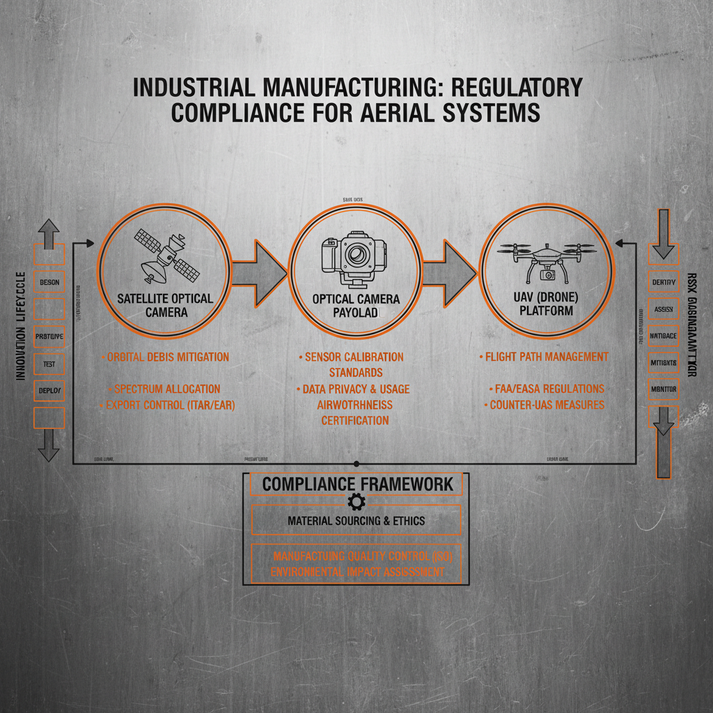
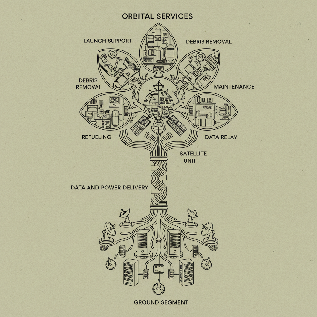
In the high-stakes realm of aerospace and satellite engineering, the ability to capture a cohesive, high-resolution view of the Earth or deep space is paramount. image mosaicking serves as the critical computational bridge, allowing engineers to stitch together multiple overlapping images into a single, seamless panoramic composite. This process is not merely about aesthetics; it is about expanding the field of view without sacrificing the granular detail required for precise scientific analysis and strategic monitoring.
From a global perspective, the demand for wide-area surveillance and high-precision mapping has surged, driven by the proliferation of small satellite constellations and advanced UAVs. The technical challenge lies in correcting geometric distortions, radiometric differences, and parallax errors that occur when sensors capture data from varying angles and lighting conditions. Effective image mosaicking ensures that data from disparate orbits or flight paths can be unified into a reliable digital twin of the target environment.
Understanding the intricacies of this technology is essential for any organization deploying optical cameras or satellite components. By mastering the balance between registration accuracy and computational efficiency, operators can unlock unprecedented insights into planetary geology, urban expansion, and climate change. This guide explores how modern mosaicking techniques integrate with aerospace hardware to deliver actionable intelligence on a global scale.
The Technical Foundations of Image Mosaicking
At its core, image mosaicking is the process of combining multiple images with overlapping fields of view to produce a high-resolution image that covers a wider area. In the context of aerospace manufacturing, this involves complex mathematical transformations. The process begins with "feature detection," where the system identifies unique landmarks in overlapping frames, followed by "registration," which aligns these features using homography matrices to ensure a seamless transition between tiles.
The sophistication of this technology is what enables an Optical Camera on a satellite to create a continuous map of a continent despite orbiting at thousands of kilometers per hour. By implementing advanced blending algorithms, the seams between individual captures are neutralized, removing "ghosting" effects and ensuring that the radiometric consistency of the final mosaic is maintained across different lighting conditions and atmospheric interference.
Global Industry Relevance and Spatial Data Challenges
On a global scale, the importance of image mosaicking is underscored by the increasing reliance on Earth Observation (EO) data for sustainable development. According to trends in the aerospace sector, the shift toward "CubeSats" and miniaturized satellites has increased the volume of data but decreased the individual image swath width. This creates a critical need for robust mosaicking pipelines to synthesize these fragmented data streams into coherent maps used by organizations like the UN for monitoring deforestation or urban sprawl.
However, the industry faces significant challenges regarding data volume and real-time processing. As sensor resolution increases, the computational load required to align thousands of images grows exponentially. The "big data" problem in aerospace means that traditional ground-based processing often creates bottlenecks, leading to a push for edge computing where mosaicking occurs on the satellite hardware itself before the data is even transmitted to Earth.
Furthermore, atmospheric disturbances and cloud cover introduce non-linear distortions that can thwart simple alignment techniques. To solve this, industry leaders are integrating AI-driven cloud masking and adaptive blending. These advancements ensure that the resulting mosaic is not just a visual collage, but a scientifically accurate dataset capable of supporting critical decisions in disaster relief and national security.
Core Components of High-Precision Mosaicking
The first critical pillar of effective image mosaicking is Geometric Registration. This involves the precise alignment of pixels from different images to a common coordinate system. In satellite missions, this requires integrating telemetry data from the satellite's Attitude and Orbit Control System (AOCS) to provide an initial "rough" alignment before fine-tuning via feature matching.
Another essential factor is Radiometric Normalization. Because images are taken at different times and angles, the brightness and color balance often vary. High-end image mosaicking software utilizes gain and offset corrections to ensure that the transition between images is invisible to the human eye and consistent for automated analysis algorithms.
Finally, the blending and seam-line optimization phase defines the final quality. Instead of a simple linear fade, advanced systems use "Graph Cut" algorithms to find the optimal path for the seam, avoiding cutting through important objects or features. This ensures that the resulting composite maintains structural integrity, which is vital for the precision required in UAV-based industrial inspections.
Performance Metrics for Mosaicking Algorithms
Evaluating the success of image mosaicking requires a set of quantitative metrics that go beyond visual inspection. The primary metric is "Root Mean Square Error" (RMSE) of the control points, which measures the spatial deviation between the registered image and the ground truth. A lower RMSE indicates a higher level of geometric fidelity, which is non-negotiable for military-grade mapping.
Additionally, computational efficiency is measured by the time taken to process a specific square kilometer of terrain. In time-sensitive operations, such as monitoring a spreading wildfire via UAVs, the speed of the mosaicking pipeline can be the difference between successful containment and disaster.
Comparative Efficiency of Image Mosaicking Methods
Aerospace Applications and Real-World Use Cases
The practical application of image mosaicking is most evident in the creation of global orthomosaics. For instance, in planetary exploration, NASA and ESA use mosaicking to combine thousands of images from orbiting probes to create high-resolution maps of Mars. This allows scientists to identify landing sites for rovers by analyzing geological formations across hundreds of kilometers without the distortion of the probe's movement.
In more immediate terrestrial contexts, UAV-based mosaicking is used for precision agriculture and infrastructure monitoring. By flying a drone in a grid pattern over a wind farm, engineers can generate a single, ultra-high-resolution mosaic of all turbine blades. This enables the detection of hairline fractures that would be invisible in individual photos, drastically reducing maintenance costs and increasing the safety of renewable energy installations.
Long-Term Value in Satellite Intelligence
Beyond the immediate technical output, the long-term value of image mosaicking lies in its ability to facilitate temporal analysis. By creating perfectly aligned mosaics of the same region over several years, analysts can perform "change detection." This allows for the precise measurement of glacial retreat, the monitoring of illegal mining in the Amazon, or the tracking of urban expansion in developing megacities.
This capability fosters a higher level of trust in satellite-derived intelligence. When a mosaic is seamless and geometrically accurate, it removes the ambiguity often found in fragmented imagery. For government agencies and NGOs, this reliability translates into more effective policy-making and faster response times during humanitarian crises.
Moreover, the integration of mosaicking with other satellite components, such as power controllers and high-efficiency solar arrays, ensures that the hardware can sustain the heavy computational load required for these processes. The synergy between robust hardware and sophisticated software is what transforms raw pixels into strategic assets.
Future Innovations in Automated Image Mosaicking
The future of image mosaicking is inextricably linked to the evolution of Artificial Intelligence and Machine Learning. We are moving toward "autonomous mosaicking," where Deep Learning models can identify overlap areas and correct distortions in real-time without human intervention. This will enable satellites to send back a completed map rather than thousands of individual files, saving immense amounts of bandwidth.
Another emerging trend is the move toward multi-spectral mosaicking. Future systems will not just stitch visible light images but will simultaneously fuse thermal, infrared, and SAR (Synthetic Aperture Radar) data. This "hyper-mosaic" will provide a comprehensive view of the Earth, revealing not just how a forest looks, but its moisture content and biomass density in a single, unified image.
Finally, the integration of quantum computing could potentially solve the most complex optimization problems in registration and blending. By processing millions of feature points in parallel, quantum-enhanced image mosaicking could provide instantaneous, planetary-scale mapping with sub-centimeter accuracy, redefining our understanding of spatial data.
Analysis of Image Mosaicking Technology Evolution and Performance
| Technology Generation |
Processing Speed |
Registration Accuracy |
Hardware Requirement |
| Early Linear Stitching |
Low (Hours) |
Moderate (5-7) |
Basic Workstation |
| Feature-Based SIFT |
Medium (Minutes) |
High (7-8) |
High-End GPU |
| AI-Driven Adaptive |
Fast (Seconds) |
Very High (8-9) |
TPU / AI Accelerators |
| On-Board Satellite Edge |
Real-time |
Very High (9-10) |
Radiation-Hardened SoC |
| Multi-Spectral Fusion |
Medium-Fast |
Ultra-High (9-10) |
Hybrid Cloud-Edge |
| Quantum-Ready Mosaicking |
Instantaneous |
Perfect (10) |
Quantum Processor |
FAQS
While simple stitching often just overlaps photos, professional image mosaicking involves rigorous geometric correction, radiometric normalization to ensure color consistency, and the use of orthorectification to remove distortions caused by the sensor's perspective and the Earth's curvature. This ensures the final product is a map, not just a picture.
Yes, this is known as "Edge Computing." By using radiation-hardened SoC (System on Chip) and FPGA accelerators, modern satellites can perform preliminary image mosaicking on-board. This significantly reduces the volume of data that needs to be transmitted to ground stations, accelerating the intelligence cycle.
Cloud cover can obstruct key features used for registration. To overcome this, advanced algorithms use "multi-temporal mosaicking," where the system identifies the clearest pixels from multiple images taken at different times and stitches them into a single cloud-free composite, ensuring complete coverage of the target area.
The most critical components are high-performance Optical Cameras for raw data capture and powerful onboard processors. Additionally, stable Power Sub-Systems and high-efficiency Solar Arrays are essential to provide the consistent energy required for the computationally intensive task of image mosaicking during long-duration missions.
Absolutely. For inspections of bridges, pipelines, or solar farms, UAVs capture hundreds of overlapping photos. Mosaicking these into a single, high-resolution orthomosaic allows inspectors to zoom in on specific defects across a massive asset without losing spatial context or resolution.
Accuracy is verified using Ground Control Points (GCPs)—physical markers on the ground with known GPS coordinates. By comparing the pixel location of the GCP in the finished image mosaicking result with its actual coordinates, engineers can calculate the RMSE and validate the map's precision.
Conclusion
In summary, image mosaicking is a cornerstone technology in modern aerospace and electronic manufacturing, transforming fragmented visual data into comprehensive, high-fidelity spatial intelligence. By integrating precise geometric registration, radiometric normalization, and intelligent blending, this process enables everything from interplanetary mapping to precision urban planning. The synergy between high-performance optical hardware and sophisticated stitching algorithms ensures that we can view our world—and the universe beyond—with unprecedented clarity and scale.
As we look toward a future defined by AI-driven autonomy and quantum computing, the potential for mosaicking to evolve into a real-time, multi-spectral synthesis tool is immense. For organizations invested in satellite components or UAV systems, prioritizing the integration of advanced mosaicking pipelines is no longer an option but a necessity for maintaining a competitive edge. We invite you to explore our comprehensive range of aerospace solutions to empower your data capture capabilities. Visit our website: www.space-navi.com