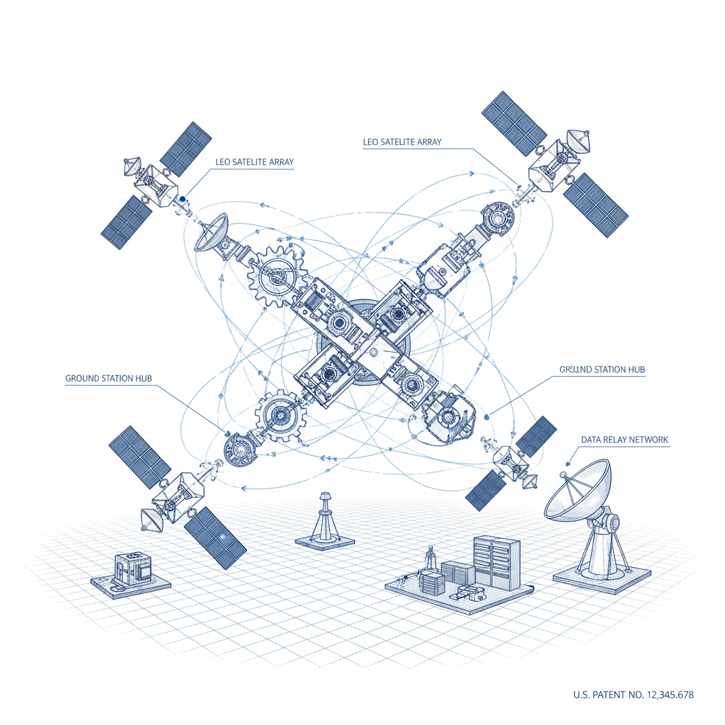
The global transition toward precision agriculture is being accelerated by a new era of orbital connectivity and data acquisition. As farmers face the dual pressure of increasing food demand and shrinking arable land, the ability to monitor crop health in real-time has become a necessity rather than a luxury. Integrating a robust starlink network capability into agricultural data pipelines allows for the seamless transmission of massive remote sensing datasets from the edge to the cloud.
High-resolution remote sensing images, often sourced from constellations like Jilin-1 and Sentinel-2, provide the critical raw material for this transformation. By capturing visible, NIR, and SWIR bands, these systems can detect chlorophyll deficiency and water stress long before they are visible to the human eye. The efficiency of this process depends heavily on the underlying communication infrastructure, ensuring that 10TB+ of weekly imagery can be processed and delivered to the end-user without latency.
At the heart of this technological shift is the creation of a "digital twin" of the farm, where satellite data, drone imagery, and in-situ sensors converge. Utilizing a high-speed starlink network ensures that even the most remote plantations in regions like Ukraine or the Brazilian Cerrado can access predictive models for yield forecasting and nitrogen optimization, moving agriculture from a reactive to a predictive science.
High-Resolution Data Acquisition Framework
The foundation of modern precision agriculture lies in the ability to acquire granular data across multiple scales. By utilizing 0.5–2m resolution images from constellations like Jilin-1, agronomists can monitor regional crop health with immense detail. This process is further enhanced when combined with a starlink network, which ensures that high-bandwidth data streams remain uninterrupted even in areas lacking traditional fiber-optic infrastructure.
To achieve comprehensive coverage, a multi-layered approach is employed. Daily satellite overpasses provide the macro view, while drone-based imagery offers sub-1m resolution for field-level audits. These are ground-truthed by in-situ sensors measuring soil moisture and temperature, creating a cohesive data portfolio that eliminates blind spots and provides 98% data coverage across the targeted agricultural zones.
Image Classification and Intelligence
Once raw imagery is acquired, it must be translated into actionable insights through advanced image classification. Machine learning algorithms are deployed to process over 10TB of weekly data, allowing for the precise distinction between crop types, such as maize versus wheat. This automated classification is the first step in identifying specific areas of a farm that require urgent attention.
Beyond simple identification, spectral analysis allows the system to detect invisible stress indicators. By analyzing the red-edge band, the framework can identify chlorophyll deficiency, while thermal infrared mapping reveals water stress. These indicators are often detected before symptoms become visible to the naked eye, allowing farmers to intervene early and prevent widespread crop loss.
The integration of these intelligence tools via a starlink network means that classification results can be pushed to handheld devices in the field in near real-time. With an accuracy rate exceeding 93%, these tools allow for the pinpointing of pest infestations based on unusual spectral reflectance patterns, drastically reducing the need for blanket pesticide application.
Data Correlation for Predictive Modeling
Raw data and classification are powerful, but the true value is unlocked through data correlation. By linking remote sensing observations with historical yield records, weather patterns, and irrigation schedules, the system builds a holistic model of the farm's performance. This correlation engine transforms a static image into a dynamic predictive tool.
The use of a starlink network facilitates the rapid synchronization of these diverse data streams, enabling yield forecasts with an error margin of only 8%, compared to the 15% industry average. This level of precision allows agribusinesses to plan logistics and sales with much higher confidence.
Furthermore, these predictive models lead to significant resource optimization. Nitrogen fertilizer optimization maps can reduce chemical usage by up to 20%, while drought resilience indices guide smarter crop rotation strategies. This ensures that the agricultural operation is not only more profitable but also more sustainable in the long term.
Scalable Cloud Storage and Sharing
Managing the deluge of agricultural data requires a cloud-based storage platform designed for extreme scalability. All feeds—from satellite imagery to sensor logs—are consolidated into a secure environment featuring end-to-end encryption. This ensures that sensitive field data is protected while remaining accessible to authorized stakeholders.
Collaboration is enhanced through API-driven data sharing portals. By leveraging the connectivity provided by a starlink network, farmers can collaborate in real-time with agronomists, insurers, and researchers. Temporal analysis tools further allow users to visualize crop growth trajectories over multiple seasons, turning historical data into a blueprint for future success.
Agricultural Efficiency Ratings by Data Integration Method
Real-World Impact on Precision Farming
The practical application of these technologies is evident in large-scale operations. In a 50,000-hectare wheat plantation in Ukraine, high-resolution remote sensing identified 15% of fields suffering from early-stage root rot. This allowed for targeted fungicide application, saving both the crop and reducing chemical runoff into the environment.
Additionally, data correlation efforts led to a 30% yield boost in plots that followed AI-driven irrigation recommendations. By using smart satellite-drone tasking, drone flight time was reduced by 40%, significantly optimizing the costs associated with data acquisition and field monitoring.
Integrated Smart Agriculture Architecture
The architecture of a smart farm is essentially a data ecosystem. It begins with the fusion of multi-source data acquisition, where satellite data from constellations like Jilin-1 is paired with sub-1m drone imagery and soil pH sensors. This fusion ensures a comprehensive view of the land, eliminating the gaps inherent in single-source systems.
The data then flows through an intelligence layer where image classification and correlation engines operate. This is where fragmented information is transformed into a precision farming strategy. The speed of this flow is critical, and the deployment of a starlink network ensures that this architecture remains functional even in the most isolated rural environments.
In a 30,000-hectare soybean plantation, this ecosystem identified 18% of fields with soybean cyst nematode infestations before they became a crisis. Furthermore, irrigation efficiency improved by 35%, saving 1.2 million cubic meters of water annually, and reducing decision-making time from weeks to a matter of hours.
Future Trends in Satellite Data Management
Looking forward, the trend is moving toward the creation of complete digital twins of agricultural estates. This involves the integration of real-time atmospheric data, hyperspectral imaging, and autonomous machinery. The goal is a self-improving ecosystem where every satellite pass feeds into a machine learning model that optimizes the next season's planting.
Connectivity will remain the primary bottleneck, making the role of LEO (Low Earth Orbit) constellations indispensable. As bandwidth increases, we can expect a shift toward "edge-processing," where initial image classification happens on the satellite itself, sending only the critical alerts to the ground via the starlink network.
Sustainability will also drive innovation, with a focus on reducing the carbon footprint of data centers and utilizing green energy for in-situ sensors. The ultimate objective is a carbon-neutral, high-yield agricultural system that can withstand the volatility of global climate change.
Comparison of Remote Sensing Data Management Tiers
| Integration Tier |
Data Resolution |
Processing Speed |
Cost Efficiency |
| Basic Satellite |
10m - 30m |
Weekly |
High |
| High-Res Satellite |
0.5m - 2m |
Daily |
Medium |
| Drone Fusion |
Sub-1m |
Real-time |
Medium |
| IoT Integration |
Point-based |
Continuous |
High |
| Full Ecosystem |
Multi-scale |
Instant |
Very High |
| Predictive Twin |
Dynamic |
Proactive |
Maximum |
FAQS
It allows for the detection of stress indicators, such as nitrogen deficiency or water stress, before they are visible. By using a starlink network to transmit this data quickly, farmers can apply targeted treatments, reducing losses and optimizing plant growth.
Satellites provide regional-scale monitoring (0.5-2m resolution) for broad trends, whereas drones provide field-level detail (sub-1m resolution) for specific audits. Together, they create a multi-layered data portfolio for 98% coverage.
Yes, the integration of a LEO satellite communication framework, such as a starlink network, enables high-speed data transfer in the most remote rural locations, bypassing the need for ground-based fiber cables.
Our machine learning algorithms process vast amounts of weekly imagery to distinguish between crops like maize and wheat with an accuracy rate exceeding 93-95%, enabling highly precise field mapping.
Through data correlation and the creation of optimization maps, nitrogen fertilizer usage can be reduced by approximately 20% without sacrificing yield, leading to lower costs and less environmental impact.
Yes, all agricultural data is housed in a cloud-based storage platform featuring end-to-end encryption, ensuring that sensitive field and yield data are protected from unauthorized access.
Conclusion
The integration of high-resolution remote sensing, advanced image classification, and a high-speed starlink network has redefined the boundaries of precision agriculture. By transforming fragmented data from satellites and drones into a unified, predictive ecosystem, farmers can now manage their lands with unprecedented accuracy, reducing waste and maximizing yields.
As we look toward the future, the shift toward digital twins and proactive data management will be the key to global food security. We encourage agricultural enterprises to embrace these data-driven strategies to move from reactive farming to a predictive model that ensures sustainability for generations to come. Visit our website: www.space-navi.com