- Afrikaans
- Albanian
- Amharic
- Arabic
- Armenian
- Azerbaijani
- Basque
- Belarusian
- Bengali
- Bosnian
- Bulgarian
- Catalan
- Cebuano
- China
- Corsican
- Croatian
- Czech
- Danish
- Dutch
- English
- Esperanto
- Estonian
- Finnish
- French
- Frisian
- Galician
- Georgian
- German
- Greek
- Gujarati
- Haitian Creole
- hausa
- hawaiian
- Hebrew
- Hindi
- Miao
- Hungarian
- Icelandic
- igbo
- Indonesian
- irish
- Italian
- Japanese
- Javanese
- Kannada
- kazakh
- Khmer
- Rwandese
- Korean
- Kurdish
- Kyrgyz
- Lao
- Latin
- Latvian
- Lithuanian
- Luxembourgish
- Macedonian
- Malgashi
- Malay
- Malayalam
- Maltese
- Maori
- Marathi
- Mongolian
- Myanmar
- Nepali
- Norwegian
- Norwegian
- Occitan
- Pashto
- Persian
- Polish
- Portuguese
- Punjabi
- Romanian
- Russian
- Samoan
- Scottish Gaelic
- Serbian
- Sesotho
- Shona
- Sindhi
- Sinhala
- Slovak
- Slovenian
- Somali
- Spanish
- Sundanese
- Swahili
- Swedish
- Tagalog
- Tajik
- Tamil
- Tatar
- Telugu
- Thai
- Turkish
- Turkmen
- Ukrainian
- Urdu
- Uighur
- Uzbek
- Vietnamese
- Welsh
- Bantu
- Yiddish
- Yoruba
- Zulu
news
Official Release Of The First Annual High Definition Global Map Of The World

Time:2024.09.02
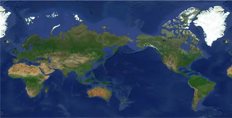
In September 2024, Space Navi released the first annual high-definition global map in the world-theJilin-1global map. As an important achievement of commercial space development in China in the past decade and an important foundation for the development of the global digital economy, the Jilin-1 global map provides global high-definition satellite remote sensing data and application services for users in various industries, and assists in the high-quality development of agriculture, forestry and water conservancy, natural resources, financial economy and other industries. The achievement has filled the international blank, and its resolution, timeliness and positioning accuracy have reached the international leading level.

The Jilin-1 global map released this time was produced from 1.2 million images selected from 6.9 million Jilin-1 satellite images. The cumulative area covered by the achievement has reached 130 million square kilometers, realizing the full coverage of sub-meter-level images of global land areas except Antarctica and Greenland, with wide coverage, high image resolution and high color reproduction.

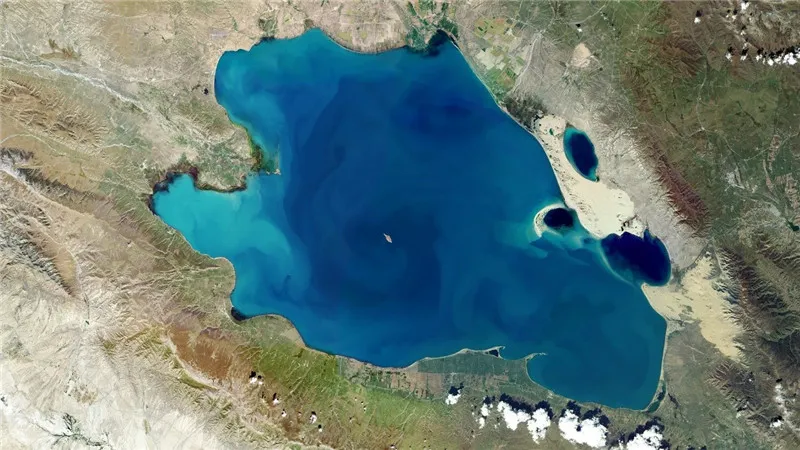
In terms of specific indicators, the proportion of images with a resolution of 0.5m used in the Jilin-1 global map exceeds 90%, the proportion of time phases covered by a single annual image exceeds 95%, and the overall cloud cover is less than 2%. Compared with similar aerospace information products around the world, the "Jilin-1" global map has combined high spatial resolution, high temporal resolution and high coverage, with remarkable uniqueness of achievements and advancement of indicators.

With the features of high image quality, fast update speed and wide coverage area, Jilin-1 global map provides government agencies and industrial users with refined remote sensing information and product services by carrying out operational applications in many fields such as environmental protection, forestry supervision and natural resources survey.


