
- Neeg African
- Albanian
- Amharic
- Arabic
- Armenian
- Azerbaijani
- Basque
- Belarusian
- Bengali
- Bosnian
- Bulgarian
- Catalan
- Cebuano
- Tuam Tshoj
- Corsican
- Croatian
- Czech
- Danish
- Dutch
- Lus Askiv
- Esperanto
- Estonian
- Finnish
- Fabkis
- Frisian
- Galician
- Georgian
- German
- Greek
- Gujarati
- Haitian Creole
- Hausa
- hawaiian
- Hebrew
- Tsis muaj
- Miao
- Hungarian
- Icelandic
- ib igbo
- Indonesian
- irish
- Italian
- Nyiv
- Javanese
- Kannada
- kazakh
- Khmer
- Rwandan
- Kauslim
- Kurdish
- Kyrgyz
- Labor
- Latin
- Latvian
- Lithuanian
- Luxembourgish
- Macedonian
- Malagasy
- Malay
- Malayalam
- Maltese
- Maori
- Marathi
- Mongolian
- Myanmar
- Nepali
- Norwegian
- Norwegian
- Occitan
- Pashto
- Persian
- Polish
- Portuguese
- Punjabi
- Romanian
- Lavxias
- Samoan
- Scottish Gaelic
- Serbian
- Lus Askiv
- Shona
- Sindhi
- Sinhala
- Slovak
- Slovenian
- Somali
- Spanish
- Sundanese
- Swahili
- Swedish
- Tagalog
- Tajik
- Tamil
- Tatar
- Telugu
- Thaib
- Turkish
- Turkmen
- Ukrainian
- Urdu
- Uighur
- Uzbek
- Nyab Laj
- Welsh
- Pab
- Yiddish
- Yoruba
- Zulu
Xov xwm
Xov Xwm Tuam Txhab
Lub tuam txhab muaj peev xwm
Tam sim no, lub tuam txhab tau tsim lub ntiaj teb loj tshaj plaws submeter coj mus muag tej thaj chaw deb sensing satellite constellation, nrog rau kev pab muaj zog. Kev cia siab rau tej thaj chaw deb sensing satellite cov ntaub ntawv, nws muaj peev xwm muab cov neeg muas zaub nrog satellite tej thaj chaw deb sensing cov ntaub ntawv nrog lub sij hawm siab daws teeb meem, siab spatial daws teeb meem, siab spectral daws teeb meem, ceev ceev cheeb tsam, thiab integrated spatial ntaub ntawv thov kev pab cuam raws li satellite tej thaj chaw deb sensing cov ntaub ntawv.
-
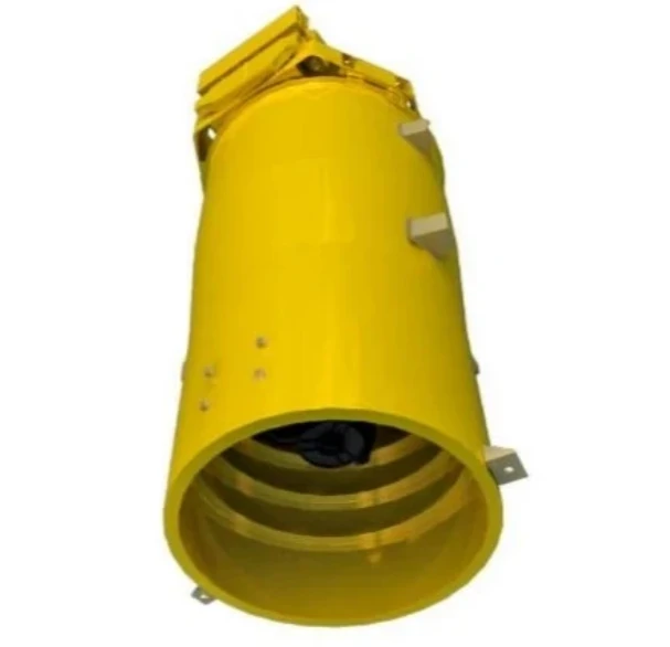
Enhancing Modern Security Systems with High Resolution Cameras
In today’s rapidly evolving world, maintaining safety across public spaces, private facilities, and critical infrastructure has never been more crucial.
-

Advancing Space Observation with High Resolution Cameras
Space-based technologies have revolutionized the way we observe Earth, monitor environmental changes, and explore the universe.
-
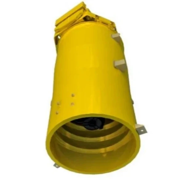
Elevating Remote Sensing and Research with High Resolution Cameras
In the fields of environmental monitoring, aerospace, and scientific discovery, seeing more means knowing more.
-
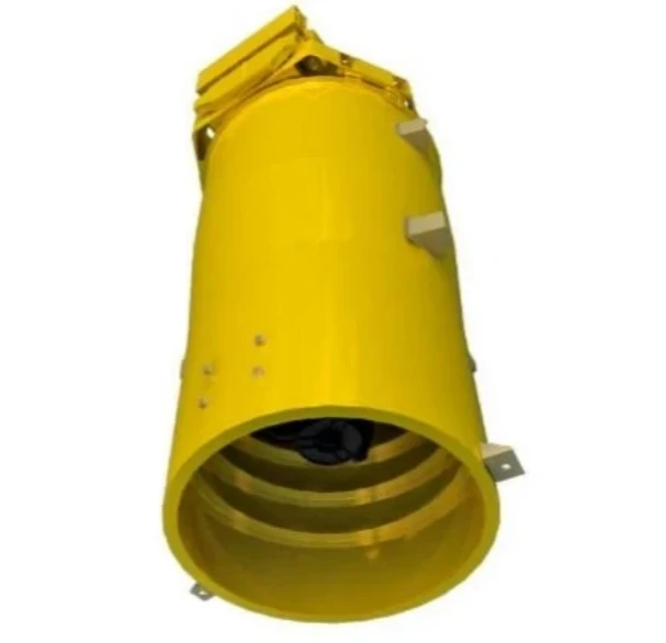
Driving Industrial Innovation with High Resolution Cameras
In the age of Industry 4.0, the integration of vision-based technologies into automated production lines is reshaping the way industries ensure quality and efficiency.
-

Advancing Earth Observation Through Cutting-Edge Satellite Platforms in Remote Sensing
The evolution of space technology has transformed how humanity observes and interacts with our planet.
-

Revolutionizing Earth Observation with Satellite Platforms in Remote Sensing
In the rapidly evolving field of space technology, the satellite platform has become the foundation of modern Earth observation and remote sensing missions.
-
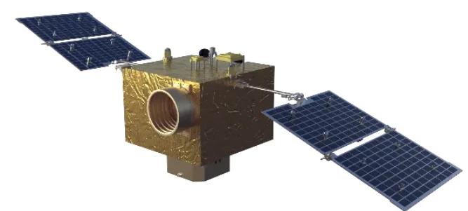
Innovative Satellite Platforms Driving the Future of Remote Sensing
The landscape of space technology is rapidly transforming thanks to the evolution of the satellite platform.
-
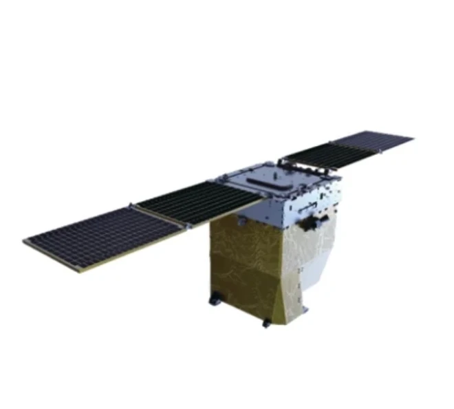
Optimizing Space Missions with Advanced Satellite SFS Solutions
The rapid expansion of space exploration and satellite deployment demands cutting-edge software technologies, making satellite SFS (Satellite Flight Software) an essential element for mission success.
-
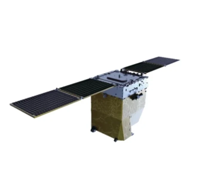
Satellite SFS: Driving Next-Generation Autonomous Space Missions
The advancement of space technology heavily relies on sophisticated software systems, and satellite SFS (Satellite Flight Software) stands at the heart of modern satellite operations.
-
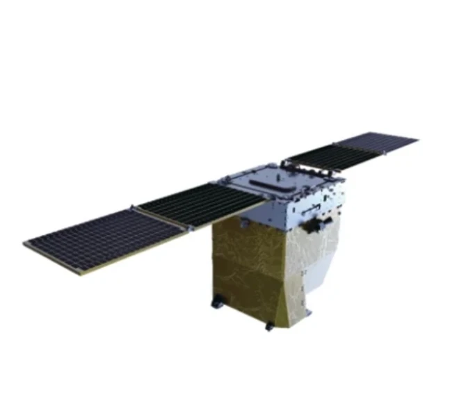
Exploring The Capabilities Of Satellite SFS For Advanced Space Applications
In the rapidly evolving field of satellite technology, the satellite SFS (Satellite Flight Software) plays a pivotal role in ensuring mission success.
-
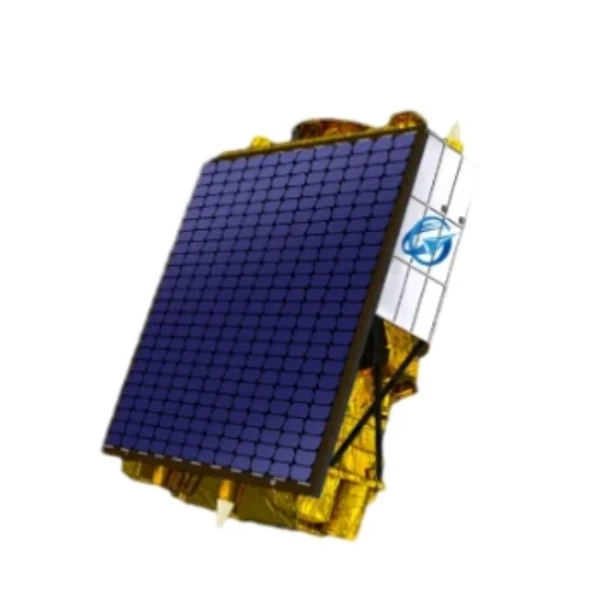
Unlocking Earth’s Secrets With Multispectral Satellite Imagery
In today’s era of data-driven decision-making, multispectral satellite imagery has become one of the most valuable tools for understanding and managing our planet.
-
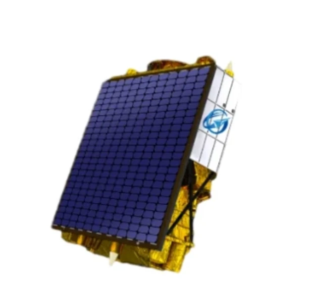
Harnessing The Power Of Multispectral Satellite Imagery For Sustainable Development
In the quest for sustainable development, multispectral satellite imagery has emerged as an indispensable tool.