
- African
- Albaniano
- Amharic
- Arabic
- Armenian
- Azerbaijani
- Basque
- Belarusian
- Bengali
- Bosnian
- Bulgarian
- Catalan
- Cebuano
- Tsina
- Corsican
- Croatian
- Czech
- Danish
- Dutch
- Ingles
- Esperanto
- Estonian
- Finnish
- Pranses
- Frisian
- Galician
- Georgian
- Aleman
- Griyego
- Gujarati
- Haitian Creole
- Hausa
- hawaiian
- Hebrew
- Hindi
- Miao
- Hungarian
- Icelandic
- igbo
- Indonesian
- irish
- Italyano
- Hapon
- Javanese
- Kannada
- kazakh
- Khmer
- Rwandan
- Koreano
- Kurdish
- Kyrgyz
- paggawa
- Latin
- Latvian
- Lithuanian
- Luxembourgish
- Macedonian
- Malagasy
- Malay
- Malayalam
- Maltese
- Maori
- Marathi
- Mongolian
- Myanmar
- Nepali
- Norwegian
- Norwegian
- Occitan
- Pashto
- Persian
- Polish
- Portuges
- Punjabi
- Romanian
- Ruso
- Samoan
- Scottish Gaelic
- Serbian
- Ingles
- Shona
- Sindhi
- Sinhala
- Slovak
- Slovenian
- Somali
- Espanyol
- Sundanese
- Swahili
- Swedish
- Tagalog
- Tajik
- Tamil
- Tatar
- Telugu
- Thai
- Turkish
- Turkmen
- Ukrainian
- Urdu
- Uighur
- Uzbek
- Vietnamese
- Welsh
- Tulong
- Yiddish
- Yoruba
- Zulu
Balita ng Kumpanya
Kakayahan ng Kumpanya
Sa kasalukuyan, ang kumpanya ay nagtayo ng pinakamalaking submeter commercial remote sensing satellite constellation, na may malakas na kakayahan sa serbisyo. Umaasa sa remote sensing satellite data, maaari itong magbigay sa mga customer ng satellite remote sensing data na may high time resolution, mataas na spatial resolution, mataas na spectral resolution, mabilis na malawak na saklaw ng lugar, at pinagsama-samang spatial information application services batay sa satellite remote sensing data.
-
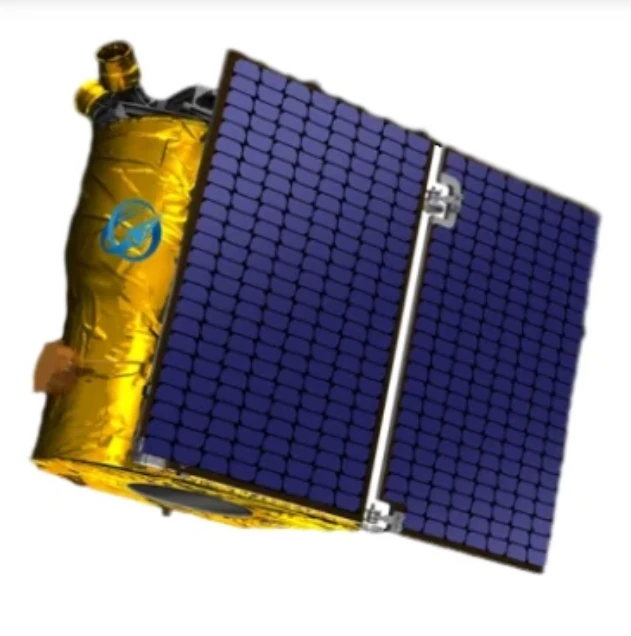
Exploring the Types of Satellite Internet and Communication Technologies Shaping the Digital Frontier
As the demand for global connectivity continues to grow, satellite-based solutions are rapidly evolving to bridge the digital divide.
-
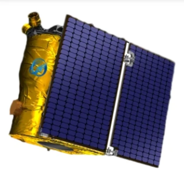
Understanding Satellite Bus Structures and Platforms in Remote Sensing Applications
In the rapidly advancing aerospace industry, the satellite platform plays a central role in mission success.
-
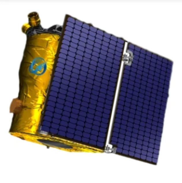
Exploring Satellite Platforms and Communication Networks in Remote Sensing
With the ever-expanding utility of space-based data, the design and selection of satellite platforms in remote sensing have become fundamental to mission planning.
-
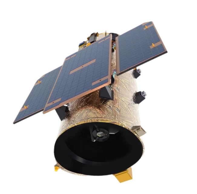
How Multispectral Satellite Imagery is Revolutionizing Data-Driven Decision-Making
In an era defined by rapid environmental change and the need for smarter resource management, multispectral satellite imagery offers a powerful lens through which we can better understand Earth’s surface.
-
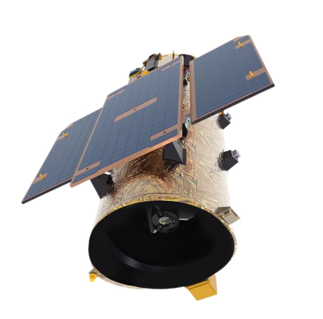
Exploring the Power of Multispectral Satellite Imagery for Smarter Earth Observation
As technology reshapes how we observe and understand the world, multispectral satellite imagery stands at the forefront of advanced data collection and analysis.
-
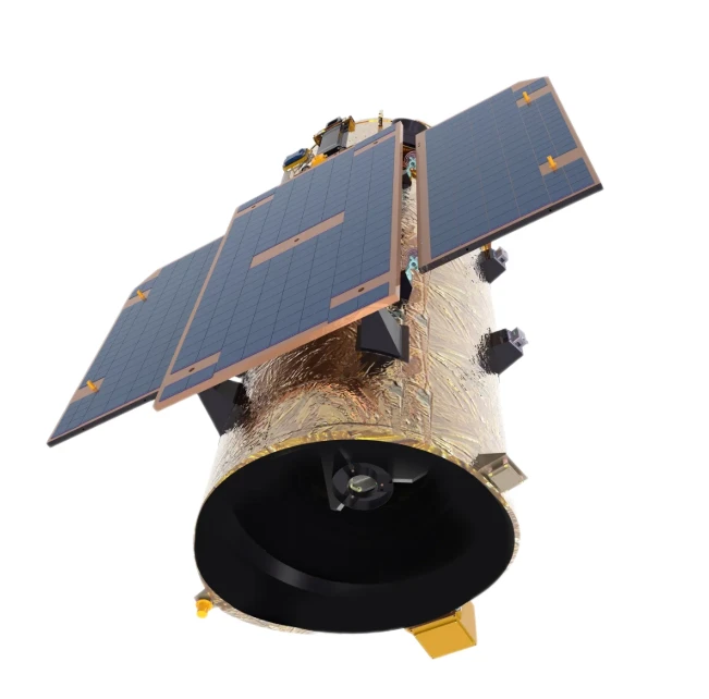
Satellite Communication Services and High-Resolution Imaging for the Next Digital Leap
In today’s hyperconnected world, robust satellite communication services and high-resolution imaging systems are playing an increasingly vital role across industries.
-
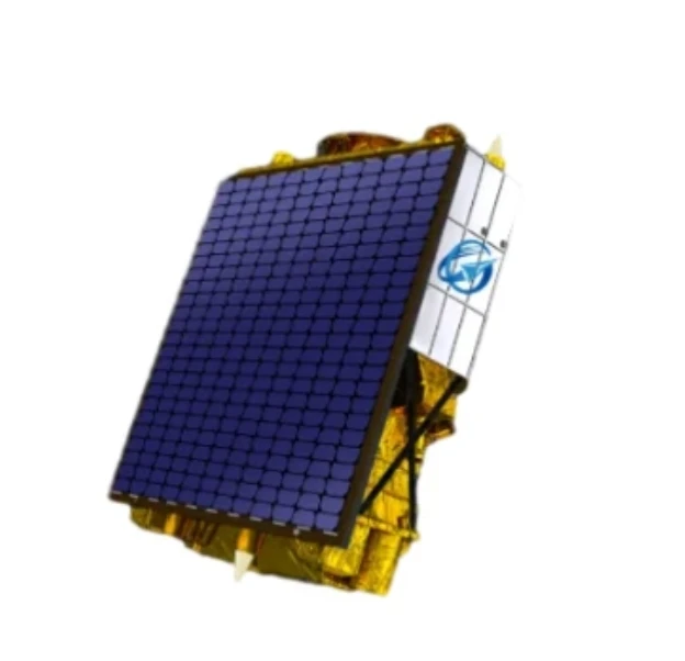
Exploring The Benefits Of Multispectral Satellite Imagery For Earth Observation
The use of multispectral satellite technology has significantly enhanced our ability to observe and understand Earth’s surface in remarkable detail.
-
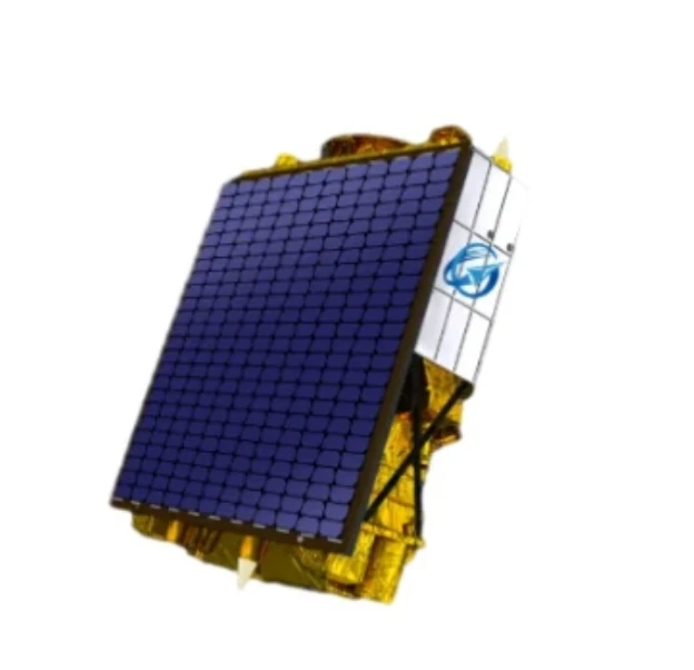
Unlocking the Power of Multispectral Satellite Technology
In today’s rapidly evolving world, the use of multispectral satellite technology has transformed the way we observe and analyze our planet.
-
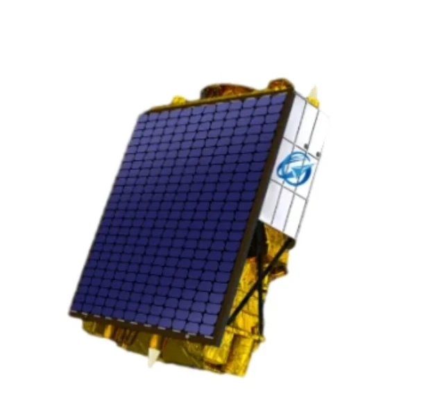
Multispectral Satellite Imagery: Enhancing Remote Sensing for Smarter Decision-Making
In an era of data-driven insights and global observation, multispectral satellite technology has become an essential tool for governments, researchers, and commercial enterprises.
-
Advanced Camera Video Night Vision Systems for 24/7 Surveillance
In an increasingly security-conscious world, having reliable video surveillance both during the day and at night is essential.
-
Camera Video Night Vision for Outdoor Surveillance and Traffic Monitoring
Outdoor security requires more than just durability—it demands vision in total darkness.
-
Camera Video Night Vision for Port and Logistics Hub Monitoring
The movement of goods through ports and logistics centers never truly stops. With operations running 24/7, it's crucial to have uninterrupted surveillance—even in total darkness.