
- Afričan
- albánský
- amharština
- arabština
- arménský
- ázerbájdžánský
- baskický
- běloruský
- bengálský
- bosenský
- bulharský
- katalánština
- Cebuano
- Čína
- Korsičan
- chorvatský
- čeština
- dánština
- holandský
- angličtina
- esperanto
- estonština
- finština
- francouzština
- fríský
- galicijský
- gruzínský
- Němec
- řecký
- Gudžarátština
- haitská kreolština
- Hausa
- havajský
- hebrejština
- Žádný
- Miao
- maďarský
- islandský
- igbo
- indonéština
- irština
- italština
- japonský
- jávský
- Kannada
- kazašský
- khmerské
- Rwandské
- korejština
- kurdština
- kyrgyzština
- Práce
- latinský
- lotyšský
- litevský
- lucemburský
- makedonský
- malgašský
- malajština
- malajálamština
- maltština
- maorští
- maráthština
- mongolský
- Myanmar
- nepálský
- norský
- norský
- okcitánština
- paštština
- Peršan
- polština
- portugalština
- pandžábština
- rumunština
- ruština
- Samoan
- skotská gaelština
- srbština
- angličtina
- Shona
- Sindhi
- sinhálština
- Slovák
- slovinský
- somálský
- španělština
- sundánština
- svahilština
- švédský
- Tagalog
- tádžický
- tamilština
- Tatar
- telugština
- thajština
- turečtina
- turkmenský
- ukrajinština
- Urdu
- ujgurské
- uzbecký
- vietnamština
- velština
- Pomoc
- jidiš
- jorubština
- Zulu
Zprávy
Novinky společnosti
Schopnost společnosti
V současné době společnost vybudovala největší světovou submetrovou komerční satelitní soustavu dálkového průzkumu Země se silnými servisními schopnostmi. Díky tomu, že se spoléhá na satelitní data dálkového průzkumu Země, může zákazníkům poskytnout data satelitního dálkového průzkumu Země s vysokým časovým rozlišením, vysokým prostorovým rozlišením, vysokým spektrálním rozlišením, rychlým pokrytím široké oblasti a integrovanými aplikačními službami prostorových informací založených na datech satelitního dálkového průzkumu Země.
-
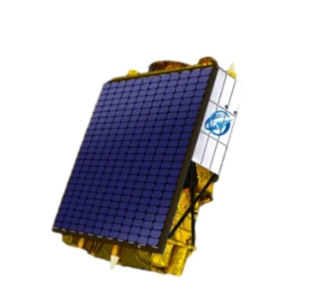
Unlocking Earth’s Secrets With Multispectral Satellite Imagery
In today’s era of data-driven decision-making, multispectral satellite imagery has become one of the most valuable tools for understanding and managing our planet.
-
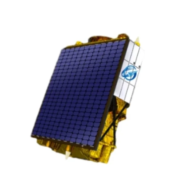
Harnessing The Power Of Multispectral Satellite Imagery For Sustainable Development
In the quest for sustainable development, multispectral satellite imagery has emerged as an indispensable tool.
-
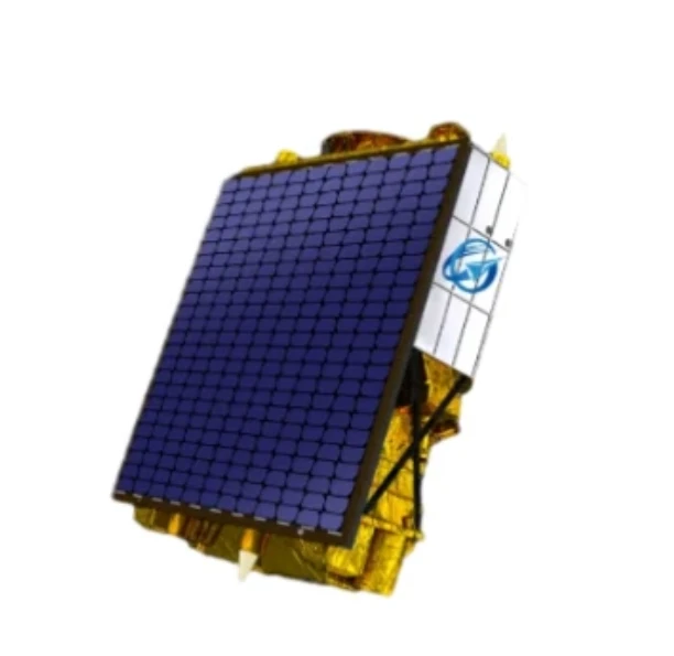
Advancing Environmental Monitoring With Multispectral Satellite Technology
The ability to observe Earth with clarity and precision has been revolutionized by the use of multispectral satellite systems.
-
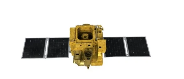
Innovations In Satellite Platform Design For Remote Sensing Applications
In the modern space industry, the development and evolution of the satellite platform have become essential to achieving accurate and efficient remote sensing missions.
-
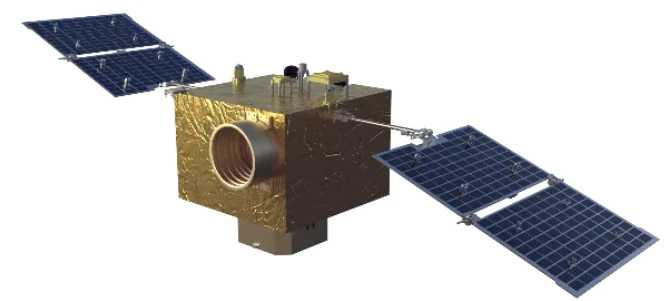
Satellite Platform Innovations Powering The Future Of Remote Sensing
As remote sensing technology advances at a rapid pace, the role of the satellite platform becomes increasingly central to mission success.
-
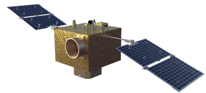
The Evolution Of The Satellite Platform In Remote Sensing Technology
In recent years, the development of the satellite platform in remote sensing has fundamentally changed the way we monitor and interact with Earth.
-
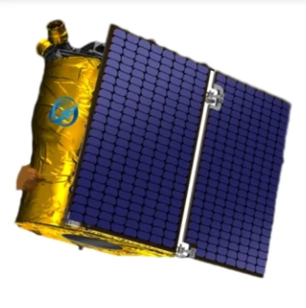
Exploring the Types of Satellite Internet and Communication Technologies Shaping the Digital Frontier
As the demand for global connectivity continues to grow, satellite-based solutions are rapidly evolving to bridge the digital divide.
-
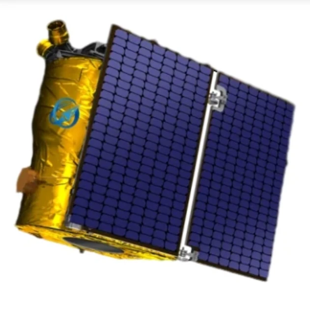
Understanding Satellite Bus Structures and Platforms in Remote Sensing Applications
In the rapidly advancing aerospace industry, the satellite platform plays a central role in mission success.
-
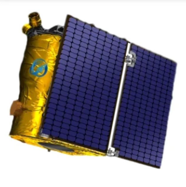
Exploring Satellite Platforms and Communication Networks in Remote Sensing
With the ever-expanding utility of space-based data, the design and selection of satellite platforms in remote sensing have become fundamental to mission planning.
-
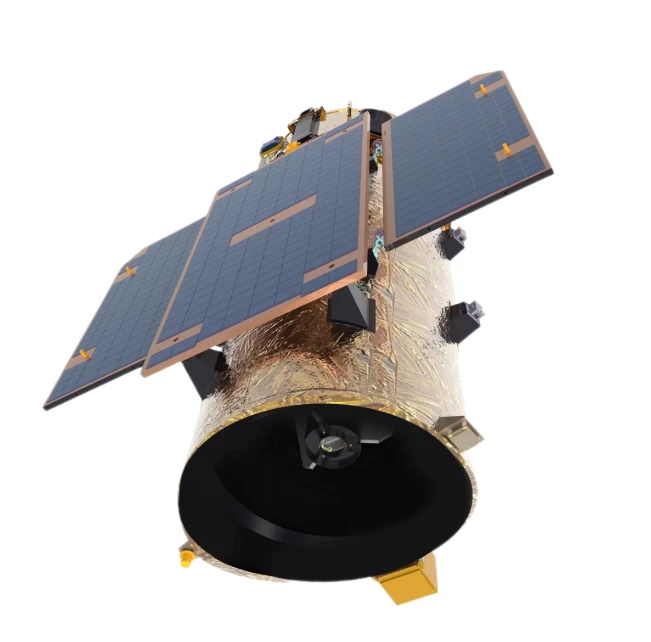
How Multispectral Satellite Imagery is Revolutionizing Data-Driven Decision-Making
In an era defined by rapid environmental change and the need for smarter resource management, multispectral satellite imagery offers a powerful lens through which we can better understand Earth’s surface.
-
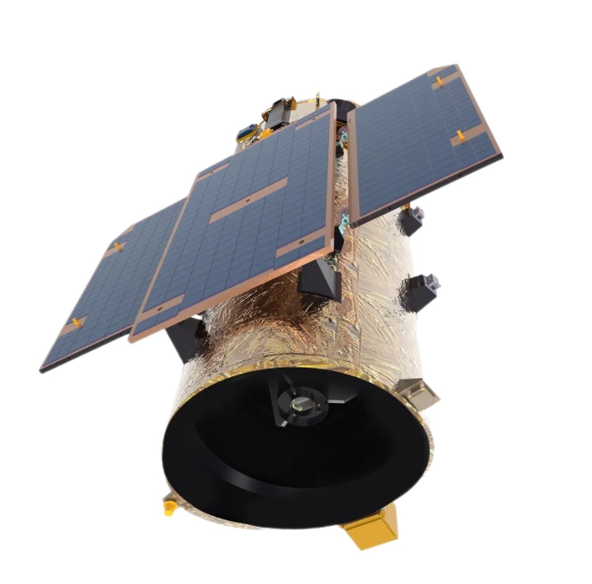
Exploring the Power of Multispectral Satellite Imagery for Smarter Earth Observation
As technology reshapes how we observe and understand the world, multispectral satellite imagery stands at the forefront of advanced data collection and analysis.
-
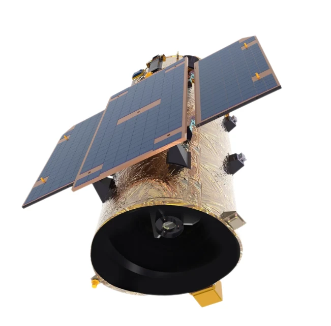
Satellite Communication Services and High-Resolution Imaging for the Next Digital Leap
In today’s hyperconnected world, robust satellite communication services and high-resolution imaging systems are playing an increasingly vital role across industries.