satellite data providerssatellite data providers
China satelliteChina satellite

Spaceships

Peb yog cov kws tshaj lij kev pabcuam

SpaceNavi yeej ib txwm ua raws li cov qauv kev lag luam rau kev sib koom ua ke ntawm cov khoom siv high-end tsim thiab cov ntaub ntawv kev pabcuam, tsom mus rau kev tshawb fawb thiab kev txhim kho ntawm kev ua haujlwm siab, thiab cov nqi qis qis thiab huab cua-chaw-hauv av sib xyaw ua ke cov chaw taws teeb sensing cov ntaub ntawv.
Satellite
high end equipment manufacturing high end equipment manufacturing

Spaceships muab cov neeg muas zaub nrog customized satellite manufacturing kev pab cuam.

Yog tias koj txaus siab rau peb cov khoom, koj tuaj yeem xaiv tawm koj cov ntaub ntawv ntawm no, thiab peb yuav tiv tauj koj sai sai.

AERIAL

SUCCESSFUL AERIAL SURVEYS

Case-by-case daim ntawv thov rau flights

Chaw taws teeb Sensing Satellite

R&D Qib

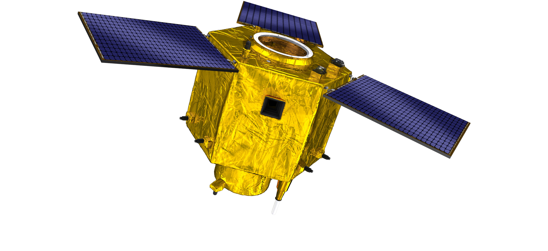
Nyob rau hauv cov nqe lus ntawm satellite R & D, raws li kev txiav txim siab ntawm satellite technology txoj kev loj hlob qauv thiab coj mus muag kev loj hlob hom, cov tub ntxhais technical team tau tawg los ntawm ib txwm tsim lub tswv yim thiab saws txoj kev ntawm "satellite platform thiab load integration". Tom qab plaub zaug ntawm kev nce qib hauv kaum xyoo, qhov hnyav ntawm lub satellite tau raug txo mus rau 20kg los ntawm 400kg ntawm thawj tiam.

Remote Sensing Satellite

Optical Processing Area

Cov xwm txheej ntau lawm

Tag nrho cheeb tsam ntawm qhov chaw kho qhov muag yog 10000m2. Cov cheeb tsam no muaj peev xwm ua tiav cov khoom loj ntawm cov khoom siv kho qhov muag siab, thiab muaj peev xwm ua cov khoom siv kho qhov muag ua los ntawm cov iav ceramics thiab silicon carbide, thiab lwm yam los ntawm ntxhib mus rau nplua, nrog rau kev kuaj pom zoo.

Optical Processing Area

Tuam txhab & Kev Lag Luam

SPACENavi BLOG

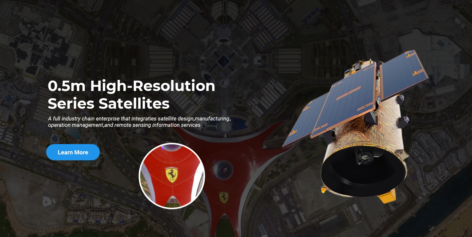
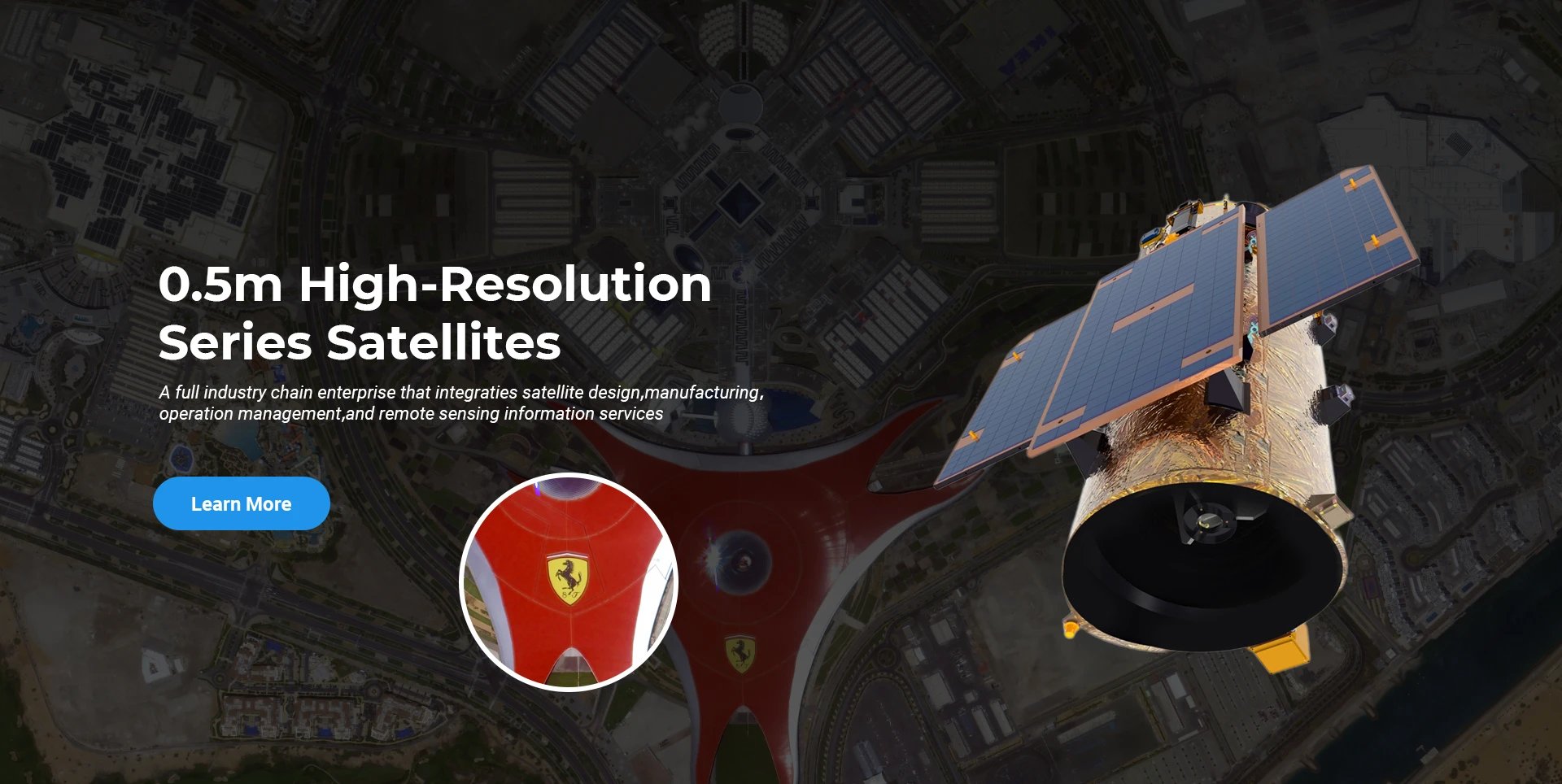
Tam sim no, lub tuam txhab tau tsim lub ntiaj teb loj tshaj plaws submeter coj mus muag tej thaj chaw deb sensing satellite constellation, nrog rau kev pab muaj zog.

Jun, 25
25
Enhancing Modern Security Systems with High Resolution Cameras
In today’s rapidly evolving world, maintaining safety across public spaces, private facilities, and critical infrastructure has never been more crucial.
Jun, 25
25
Advancing Space Observation with High Resolution Cameras
Space-based technologies have revolutionized the way we observe Earth, monitor environmental changes, and explore the universe.
Jun, 25
25
Elevating Remote Sensing and Research with High Resolution Cameras
In the fields of environmental monitoring, aerospace, and scientific discovery, seeing more means knowing more.
Jun, 25
25
Driving Industrial Innovation with High Resolution Cameras
In the age of Industry 4.0, the integration of vision-based technologies into automated production lines is reshaping the way industries ensure quality and efficiency.
Jun, 25
24
Advancing Earth Observation Through Cutting-Edge Satellite Platforms in Remote Sensing
The evolution of space technology has transformed how humanity observes and interacts with our planet.
Jun, 25
24
Revolutionizing Earth Observation with Satellite Platforms in Remote Sensing
In the rapidly evolving field of space technology, the satellite platform has become the foundation of modern Earth observation and remote sensing missions.
Jun, 25
24
Innovative Satellite Platforms Driving the Future of Remote Sensing
The landscape of space technology is rapidly transforming thanks to the evolution of the satellite platform.
Jun, 25
24
Optimizing Space Missions with Advanced Satellite SFS Solutions
The rapid expansion of space exploration and satellite deployment demands cutting-edge software technologies, making satellite SFS (Satellite Flight Software) an essential element for mission success.

Yog tias koj txaus siab rau peb cov khoom, koj tuaj yeem xaiv tawm koj cov ntaub ntawv ntawm no, thiab peb yuav tiv tauj koj sai sai.