- umAfrika
- Albanian
- Amharic
- IsiArabhu
- Armenian
- IsiAzerbaijani
- Basque
- IsiBhelarushiyen
- Bengali
- Bosnian
- Bulgarian
- isiKhathalan
- Cebuano
- eTshayina
- isiKhorsikhen
- Croatian
- Czech
- Danish
- IsiDatshi
- IsiNgesi
- isiEsperanto
- Estonian
- Finnish
- IsiFrentshi
- IsiFrisian
- Galician
- Georgian
- IsiJamani
- IsiGrike
- Gujarati
- isiKriyoli saseHayiti
- Hausa
- isiHawayi
- IsiHebhere
- Hayi
- Miao
- Hungarian
- Iceland
- igbo
- Indonesian
- Irish
- IsiTaliyani
- IsiJaphani
- Javanese
- Kannada
- isiKazakh
- Khmer
- isiRwanda
- Korean
- isiKhudish
- isiKyrgyz
- Umsebenzi
- isiLatini
- Latvian
- isiLithuwaniya
- isiLuksembogu
- Mecedonian
- IsiMalagasy
- Malay
- Malayalam
- Maltese
- isiMawori
- Marathi
- isiMongoliya
- Miyanimar
- Nepali
- Norwegian
- Norwegian
- Occitan
- isiPhashto
- Persian
- Polish
- IsiPhuthukezi
- isiPhunjabi
- Romanian
- IsiRashiya
- isiSamoa
- IsiScottish Gaelic
- isiSebhiya
- IsiNgesi
- IsiShona
- Sindhi
- IsiSinhala
- Slovak
- Slovenian
- isiSomali
- Spanish
- IsiSundanese
- Swahili
- Swedish
- Tagolog
- IsiTajik
- Tamil
- IsiTatar
- Telugu
- IsiThai
- IsiTurkey
- isiTurkmen
- Isi-Ukraine
- IsiUrdu
- IsiUighur
- IsiUzbek
- IsiVietnamese
- IsiWelsh
- Nceda
- Yiddish
- IsiYoruba
- IsiZulu
Unlocking Earth Intelligence with Multispectral Imaging Camera Payloads
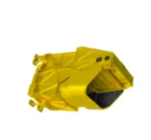
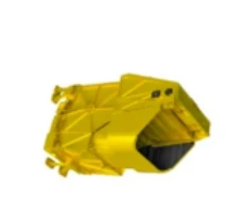
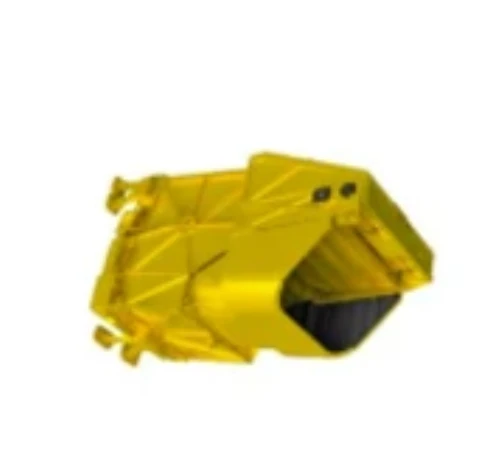
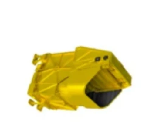
In the field of aerospace remote sensing, the ability to distinguish subtle variations on Earth’s surface is vital. One transformative technology driving this capability is the multispectral imaging camera. As a trusted provider of satellite platforms and payload integration, SpaceNavi Co., Ltd. incorporates next-generation ikhamera ye-multispectral systems into our customized orbital solutions, enabling clients to gather unparalleled Earth observation data from space.

Advanced Multispectral Payloads for Space-Based Monitoring
SpaceNavi’s tailored satellite buses support a wide range of sensor packages, including lightweight, high-resolution ikhamera ye-multispectral units. These systems capture information across several spectral bands—from the visible to the near-infrared—making them invaluable for a broad spectrum of applications such as environmental monitoring, precision agriculture, and resource management.
Whether you’re seeking a compact low cost multispectral camera for experimental missions or a highly calibrated system for long-term observation, our engineers ensure seamless integration with our proprietary platforms. Using modular design principles, we also accommodate evolving configurations, from multispectral visible imaging camera arrays to sophisticated ikhamera edibeneyo ye-infrared ye-multispectrum payloads.
Bridging Performance and Affordability in Multispectral Cameras
A significant barrier in adopting space-based imaging has long been cost. At SpaceNavi, we address this by working with trusted suppliers and optics partners to deliver ikhamera ye-multispectral systems that meet aerospace standards at reduced prices. This includes a growing range of multispectral camera buy options that support fast deployment and mission-specific adaptability.
We understand that budget-sensitive projects still demand high accuracy. That’s why even our low cost multispectral camera solutions undergo rigorous optical testing, calibration, and environmental stress analysis to ensure stability during launch and orbit.
Moreover, as more clients explore flexible satellite platforms, we provide guidance on matching the right multispectral lens to the platform’s size, energy budget, and imaging goals. This ensures each project captures maximum value from its space-based observations.
Expanding the Role of Multispectral Systems Across Industries
The use of ikhamera ye-multispectral technology extends far beyond scientific research. From infrastructure planning to natural disaster response, the demand for multi-band imaging has never been higher. Urban planners rely on multispectral imaging camera data to assess vegetation coverage, heat islands, and surface materials in developing cities.
In agriculture, multispectral visible imaging camera modules help monitor plant health, track seasonal growth, and identify nutrient deficiencies. By applying machine learning to data collected by these cameras, farmers can optimize yield with precision previously unachievable.
SpaceNavi’s growing suite of remote sensing platforms also makes it easier for organizations to access actionable information. Whether using a standalone satellite or a constellation, our clients benefit from real-time data generated by state-of-the-art ikhamera ye-multispectral payloads.
As remote sensing technologies evolve, ikhamera ye-multispectral systems are becoming central to satellite-based intelligence and decision-making. SpaceNavi is proud to support this evolution by offering advanced, cost-effective imaging payloads that redefine how we observe our planet.
Our mission is to make multispectral imaging camera technologies accessible, dependable, and seamlessly integrated with satellite platforms—bridging the gap between innovation and real-world application. If you’re ready to deploy smarter imaging solutions from space, now is the time to partner with SpaceNavi.


