satellite data providerssatellite data providers
China satelliteChina satellite

Iziphekepheke

SINGABABONI BENKONZO NGOBUCHULE

I-SpaceNavi isoloko ibambelele kwimodeli yoshishino yophuhliso oluhlanganisiweyo lwezixhobo eziphezulu zokuvelisa kunye neenkonzo zolwazi, kugxininise kuphando kunye nophuhliso lwentsebenzo ephezulu, kunye nexabiso eliphantsi kunye ne-air-space-ground edibeneyo yolwazi lwe-remote sensing.
Satellite
high end equipment manufacturing high end equipment manufacturing

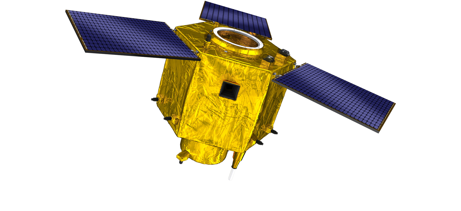
Iziphekepheke inikeza abathengi abaneenkonzo ezilungiselelwe ukwenziwa kwesathelayithi.

Ukuba unomdla kwiimveliso zethu, unokukhetha ukushiya ulwazi lwakho apha, kwaye siya kuqhagamshelana nawe kungekudala.

UMOYA

UVAVANYO OLUPHUMELELEYO LOMOYA

Isicelo se-Case-by-case seenqwelomoya

Isathelayithi yoVavanyo olukude

Inqanaba le-R&D

Ngokubhekiselele kwi-R & D yesathelayithi, ngokuhambelana nesigwebo somkhondo wophuhliso lwetheknoloji yesathelayithi kunye nemowudi yophuhliso lwezorhwebo, iqela lobugcisa eliphambili liye laphula ingcamango yoyilo lwendabuko kwaye lamkela indlela yobugcisa "yeqonga lesathelayithi kunye nokuhlanganiswa komthwalo". Emva kwamaxesha amane enkqubela phambili kwiminyaka elishumi, ubunzima besathelayithi buncitshiswe ukuya kuma-20kg ukusuka kuma-400kg wesizukulwana sokuqala.

Remote Sensing Satellite

Indawo yokuLungiselela i-Optical

Iimeko zeMveliso

Indawo epheleleyo yendawo yokucubungula i-optical yi-10000m2. Le ndawo iyakwazi ukwenza ubuninzi bemveliso yezinto eziphezulu ezichanekileyo, kwaye inamandla okucubungula amacandelo optical eyenziwe ngeglasi yeekeramics kunye ne-silicon carbide, njl. ukusuka kwi-coarse ukuya kwi-fine, kunye nokufumanisa okuhambelanayo.

Optical Processing Area

Inkampani & neShishini

SPACENavi BLOG

Okwangoku, inkampani iye yakha i-constellation enkulu ye-submeter yorhwebo ekude yokuthengisa, kunye neenkonzo ezinamandla.

Jun, 25
20
Exploring the Types of Satellite Internet and Communication Technologies Shaping the Digital Frontier
As the demand for global connectivity continues to grow, satellite-based solutions are rapidly evolving to bridge the digital divide.
Jun, 25
20
Understanding Satellite Bus Structures and Platforms in Remote Sensing Applications
In the rapidly advancing aerospace industry, the satellite platform plays a central role in mission success.
Jun, 25
20
Exploring Satellite Platforms and Communication Networks in Remote Sensing
With the ever-expanding utility of space-based data, the design and selection of satellite platforms in remote sensing have become fundamental to mission planning.
Jun, 25
20
How Multispectral Satellite Imagery is Revolutionizing Data-Driven Decision-Making
In an era defined by rapid environmental change and the need for smarter resource management, multispectral satellite imagery offers a powerful lens through which we can better understand Earth’s surface.
Jun, 25
20
Exploring the Power of Multispectral Satellite Imagery for Smarter Earth Observation
As technology reshapes how we observe and understand the world, multispectral satellite imagery stands at the forefront of advanced data collection and analysis.
Jun, 25
20
Satellite Communication Services and High-Resolution Imaging for the Next Digital Leap
In today’s hyperconnected world, robust satellite communication services and high-resolution imaging systems are playing an increasingly vital role across industries.
Jun, 25
19
Exploring The Benefits Of Multispectral Satellite Imagery For Earth Observation
The use of multispectral satellite technology has significantly enhanced our ability to observe and understand Earth’s surface in remarkable detail.
Jun, 25
19
Unlocking the Power of Multispectral Satellite Technology
In today’s rapidly evolving world, the use of multispectral satellite technology has transformed the way we observe and analyze our planet.

Ukuba unomdla kwiimveliso zethu, unokukhetha ukushiya ulwazi lwakho apha, kwaye siya kuqhagamshelana nawe kungekudala.