- الأفريقي
- الألبانية
- الأمهرية
- عربي
- الأرمنية
- أذربيجاني
- الباسكية
- البيلاروسية
- البنغالية
- البوسنية
- البلغارية
- الكاتالونية
- سيبوانو
- الصين
- كورسيكي
- الكرواتية
- التشيكية
- دانماركي
- هولندي
- إنجليزي
- الإسبرانتو
- الإستونية
- الفنلندية
- فرنسي
- الفريزية
- الجاليكية
- جورجي
- الألمانية
- اليونانية
- الغوجاراتية
- الكريولية الهايتية
- الهاوسا
- هاواي
- العبرية
- لا
- مياو
- المجرية
- الأيسلندية
- إيجبو
- اللغة الإندونيسية
- ايرلندي
- ايطالي
- اليابانية
- الجاوية
- كانادا
- الكازاخستانية
- الخميرية
- رواندية
- كوري
- كردي
- قيرغيزستان
- تَعَب
- اللاتينية
- اللاتفية
- الليتوانية
- اللوكسمبورغية
- المقدونية
- اللغة الملغاشية
- الملايو
- المالايالامية
- المالطية
- الماوري
- الماراثى
- المنغولية
- ميانمار
- النيبالية
- النرويجية
- النرويجية
- أوكيتاني
- البشتونية
- الفارسية
- بولندي
- البرتغالية
- البنجابية
- روماني
- الروسية
- ساموا
- الغيلية الاسكتلندية
- الصربية
- إنجليزي
- شونا
- السندية
- السنهالية
- السلوفاكية
- السلوفينية
- الصومالية
- الأسبانية
- اللغة السوندانية
- السواحلية
- السويدية
- التاغالوغية
- الطاجيكية
- التاميلية
- التتار
- التيلجو
- تايلاندي
- اللغة التركية
- تركمان
- الأوكرانية
- الأردية
- الأويغور
- الأوزبكية
- الفيتنامية
- الويلزية
- يساعد
- اليديشية
- اليوروبا
- الزولو
Very High-Resolution Satellite Imagery Free: Accessing Detailed Earth Observations Without Cost
In the modern era of geospatial technology, very high-resolution satellite imagery free has become an invaluable resource for researchers, educators, government agencies, and private individuals alike. Access to detailed satellite images at no cost empowers users to monitor environmental changes, support disaster management, conduct scientific research, and explore geographic data with unprecedented clarity. Thanks to advances in satellite technology and open data policies, platforms such as Google Earth and NASA Worldview provide comprehensive access to such imagery. This article will discuss the significance of very high-resolution satellite imagery free, explore how to access it through popular tools and apps, and introduce educational resources including remote sensing books, remote sensing PDFs, and scientific journals like the Remote Sensing journal to enhance understanding.
Understanding Very High-Resolution Satellite Imagery and Its Applications
Very high-resolution satellite imagery refers to images where the spatial resolution allows the detection of features on the ground as small as 30 centimeters or less. Such detail makes it possible to identify individual vehicles, trees, small buildings, and other fine-scale elements. This level of clarity is essential for various applications including urban planning, environmental conservation, agriculture, and emergency response.
The availability of very high-resolution satellite imagery free opens the door for widespread use beyond expensive commercial services. These images support detailed analysis such as tracking deforestation in remote areas, assessing damage after natural disasters, and even monitoring traffic patterns in cities. They also serve educational purposes, allowing students and academics to explore real-world geographic phenomena.
Platforms Offering Very High-Resolution Satellite Imagery Free
One of the most popular platforms for accessing very high-resolution satellite imagery free is Google Earth. It provides users with detailed, interactive maps that combine satellite images from multiple sources. Its interface allows users to zoom into almost any location on the planet, viewing features with remarkable clarity. Though some imagery updates occur periodically, the resolution is often sufficient for many practical and academic purposes.
Another prominent tool is NASA Worldview, which offers near real-time satellite imagery free through its user-friendly web interface. It provides multiple satellite data layers including atmospheric, oceanic, and land observations. This makes it invaluable for monitoring events such as wildfires, storms, and volcanic eruptions as they happen, enabling rapid response and research.
In addition to these platforms, open-source satellite missions such as the USGS Landsat program and ESA’s Sentinel satellites provide continuous streams of satellite data, often accessible through portals like EarthExplorer or Copernicus Open Access Hub. While these images may not always be classified as very high resolution, they complement higher resolution datasets with frequent temporal coverage.
Mobile high resolution satellite apps also facilitate on-the-go access to detailed imagery. These apps often integrate data from sources like Google Earth and NASA, providing functionalities such as map annotation, layering, and GPS integration. This convenience benefits field researchers, educators, and hobbyists.
Educational Resources to Master Satellite Imagery Analysis
To fully utilize very high-resolution satellite imagery free, gaining a solid foundation in remote sensing in geography and related disciplines is essential. Numerous remote sensing books cover the fundamentals of how satellite sensors capture data, the types of images produced, and techniques for interpreting and analyzing this data. These texts serve as important guides for beginners and advanced practitioners alike.
Free remote sensing PDFs are widely available online, offering accessible materials on topics such as image classification, GIS integration, and sensor technologies. These digital resources facilitate self-study and classroom instruction.
Moreover, staying updated on recent research and technological developments is possible through the Remote Sensing journal. This peer-reviewed publication presents articles on new methods, case studies, and applications of satellite imagery across various scientific and practical fields. Engaging with such literature helps users understand emerging trends and best practices.
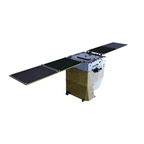
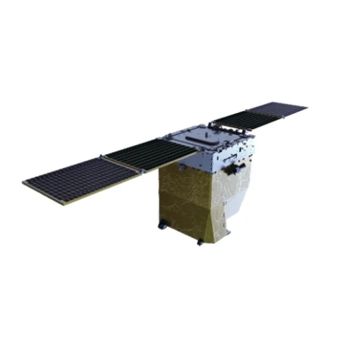
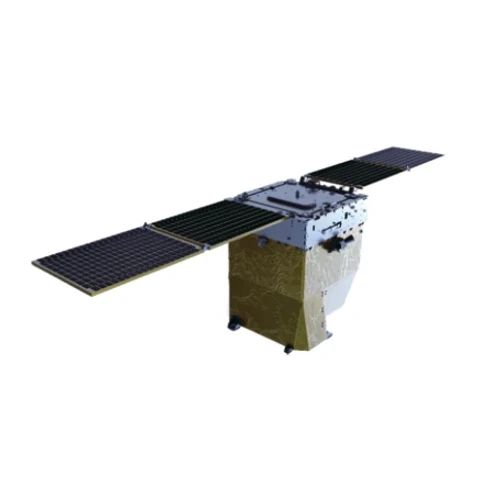
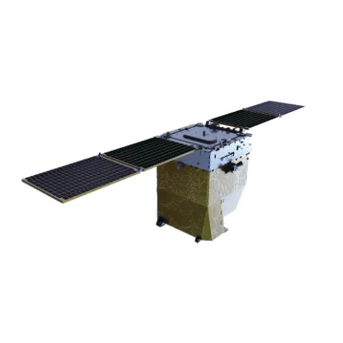
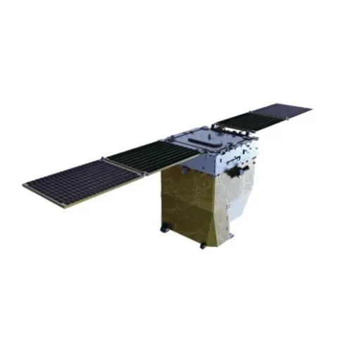
For those interested in the hardware aspect, learning about the various remote sensing satellites currently in orbit and their specific capabilities enhances comprehension of the data’s provenance and quality.
The Future of Very High-Resolution Satellite Imagery Free Access
As satellite technology continues to advance and open data initiatives grow, the availability of very high-resolution satellite imagery free will expand further. Emerging satellites with improved sensors will deliver even sharper images at faster intervals, making near real-time monitoring more accessible.
The integration of artificial intelligence and machine learning with satellite data analysis promises to automate and enhance feature detection, classification, and change monitoring. This evolution will benefit sectors like agriculture by improving crop health assessments, urban planning through better infrastructure monitoring, and disaster management with faster damage evaluations.
Furthermore, the increasing availability of user-friendly high resolution satellite apps will democratize access, enabling individuals worldwide to contribute to citizen science projects, environmental advocacy, and educational endeavors.
Conclusion
Access to very high-resolution satellite imagery free has transformed the landscape of geographic analysis and environmental monitoring. Through platforms like Google Earth and NASA Worldview, users can explore detailed Earth observations without financial barriers, supporting a wide range of applications from research to practical decision-making.
Complementary resources such as remote sensing books, remote sensing PDFs, and the Remote Sensing journal equip users with the knowledge to interpret and apply this imagery effectively. As technology progresses, the scope and quality of freely available satellite data will continue to grow, offering exciting opportunities for innovation and global understanding.


