- الأفريقي
- الألبانية
- الأمهرية
- عربي
- الأرمنية
- أذربيجاني
- الباسكية
- البيلاروسية
- البنغالية
- البوسنية
- البلغارية
- الكاتالونية
- سيبوانو
- الصين
- كورسيكي
- الكرواتية
- التشيكية
- دانماركي
- هولندي
- إنجليزي
- الإسبرانتو
- الإستونية
- الفنلندية
- فرنسي
- الفريزية
- الجاليكية
- جورجي
- الألمانية
- اليونانية
- الغوجاراتية
- الكريولية الهايتية
- الهاوسا
- هاواي
- العبرية
- لا
- مياو
- المجرية
- الأيسلندية
- إيجبو
- اللغة الإندونيسية
- ايرلندي
- ايطالي
- اليابانية
- الجاوية
- كانادا
- الكازاخستانية
- الخميرية
- رواندية
- كوري
- كردي
- قيرغيزستان
- تَعَب
- اللاتينية
- اللاتفية
- الليتوانية
- اللوكسمبورغية
- المقدونية
- اللغة الملغاشية
- الملايو
- المالايالامية
- المالطية
- الماوري
- الماراثى
- المنغولية
- ميانمار
- النيبالية
- النرويجية
- النرويجية
- أوكيتاني
- البشتونية
- الفارسية
- بولندي
- البرتغالية
- البنجابية
- روماني
- الروسية
- ساموا
- الغيلية الاسكتلندية
- الصربية
- إنجليزي
- شونا
- السندية
- السنهالية
- السلوفاكية
- السلوفينية
- الصومالية
- الأسبانية
- اللغة السوندانية
- السواحلية
- السويدية
- التاغالوغية
- الطاجيكية
- التاميلية
- التتار
- التيلجو
- تايلاندي
- اللغة التركية
- تركمان
- الأوكرانية
- الأردية
- الأويغور
- الأوزبكية
- الفيتنامية
- الويلزية
- يساعد
- اليديشية
- اليوروبا
- الزولو
Innovations in Satellite Data: Revolutionizing Industries and Promoting Global Sustainability
The world of satellite technology is continuously evolving, offering new and improved capabilities for a wide range of industries. With platforms like Landsat, QuickBird, and infrared satellite systems, Earth observation has transformed the way we understand, monitor, and manage the planet. From agriculture and urban development to disaster management and climate change research, satellite data has become an indispensable tool for tackling global challenges. As technology advances, the potential applications of satellite data continue to grow, offering fresh insights and helping to promote global sustainability.
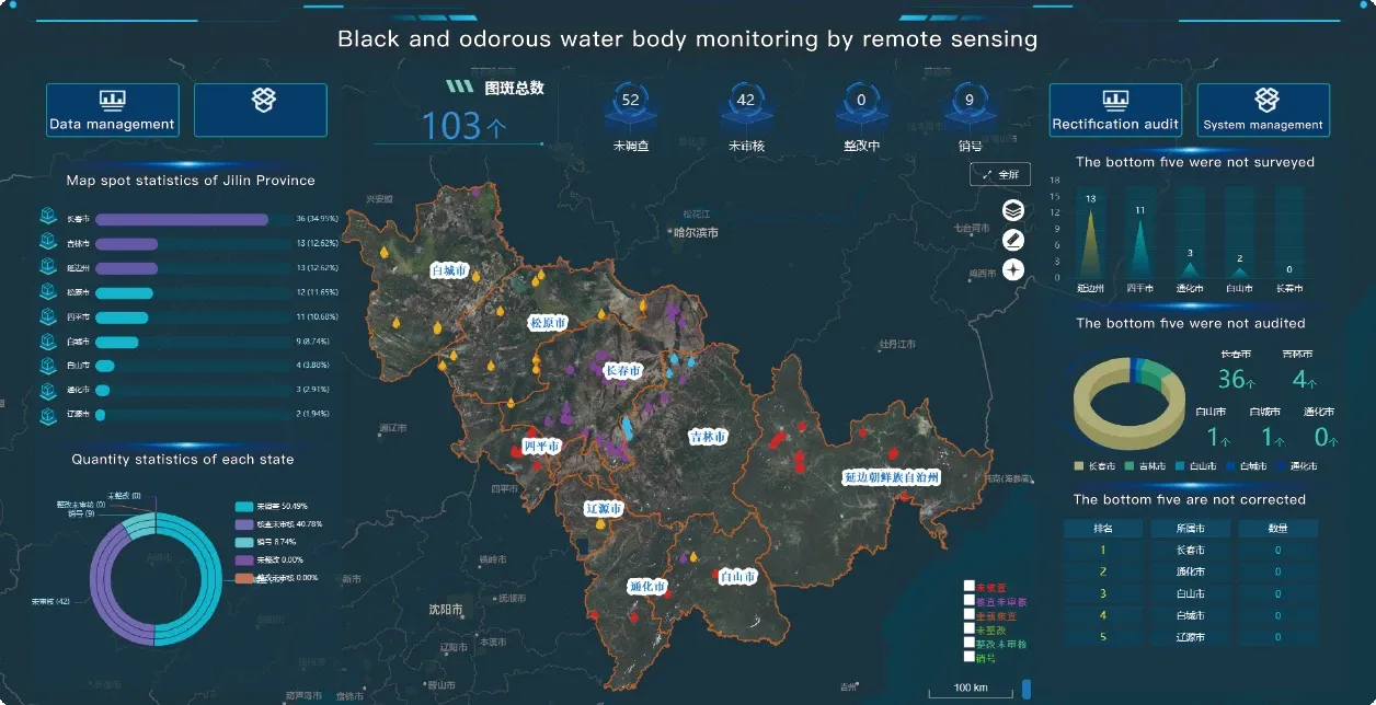
1. Advancements in Satellite Data Resolution: A New Era of Detail
One of the most significant advancements in satellite technology in recent years has been the improvement in spatial and temporal resolution. QuickBird, known for its high-resolution imagery, offers detailed images with up to 60 cm resolution, which allows for the identification of small features like individual buildings, roads, and trees. This level of detail is invaluable for industries such as urban planning, environmental monitoring, and agriculture, where precision is key.
The improvement in resolution allows satellite data to be more versatile, providing both global coverage and fine details. In contrast to earlier Landsat images with 30-meter resolution, high-resolution satellites like QuickBird and WorldView satellites offer the capability to detect finer features, like small roads or property boundaries, making them ideal for commercial mapping, land surveying, and infrastructure analysis.
The ability to obtain such detailed satellite imagery is also driving innovations in fields like autonomous vehicles, where satellite data can aid in the creation of highly accurate maps that improve navigation systems and safety features.
2. Satellite Data in Precision Disaster Management and Risk Reduction
Natural disasters such as earthquakes, floods, hurricanes, and wildfires can devastate communities and ecosystems. In recent years, satellite data has become a critical tool in managing and mitigating the effects of these events. By providing real-time imagery and insights into affected areas, satellite data helps humanitarian organizations, governments, and rescue teams respond more effectively.
Infrared satellite data plays an essential role in detecting heat signatures from fires and hot spots, enabling firefighting teams to quickly locate the source of the blaze. Additionally, Landsat imagery is crucial for post-disaster assessment. For example, following a hurricane, Landsat 8 images can be used to map flooded areas, detect damage to infrastructure, and evaluate the extent of vegetation loss due to wind or water damage. This information helps recovery teams prioritize their efforts, allocate resources efficiently, and coordinate relief efforts more effectively.
The ability to monitor disaster-prone areas with satellite data also contributes to risk reduction strategies. By identifying high-risk zones, such as floodplains, fault lines, or areas prone to landslides, authorities can implement preventive measures to minimize the impact of disasters. Satellite imagery allows for ongoing monitoring, ensuring that these areas are tracked over time to assess vulnerability and improve early warning systems.
3. Satellite Data in Global Environmental and Sustainability Efforts
The global environmental crisis, including climate change, deforestation, and biodiversity loss, requires an integrated approach to monitoring and management. Satellite data plays a pivotal role in this effort, offering real-time information on environmental changes and enabling targeted conservation strategies.
For example, Landsat has been used for decades to track deforestation in tropical rainforests, with Landsat 8 providing clear imagery that shows forest loss over time. These images allow researchers and organizations to assess the effectiveness of conservation policies and identify regions where illegal logging or land clearing is taking place. The Landsat download service makes it easier for conservationists and environmental groups to access this data, empowering them to monitor large areas without relying on on-the-ground surveys, which can be time-consuming and costly.
Infrared satellite data is also essential in tracking the health of ecosystems, including wetlands, forests, and coastal areas. By detecting temperature changes and assessing vegetation health, infrared imagery can help identify stressed ecosystems, such as areas experiencing drought or reduced water availability. This data is particularly valuable for monitoring ecosystems that play a crucial role in carbon sequestration, biodiversity conservation, and climate regulation.
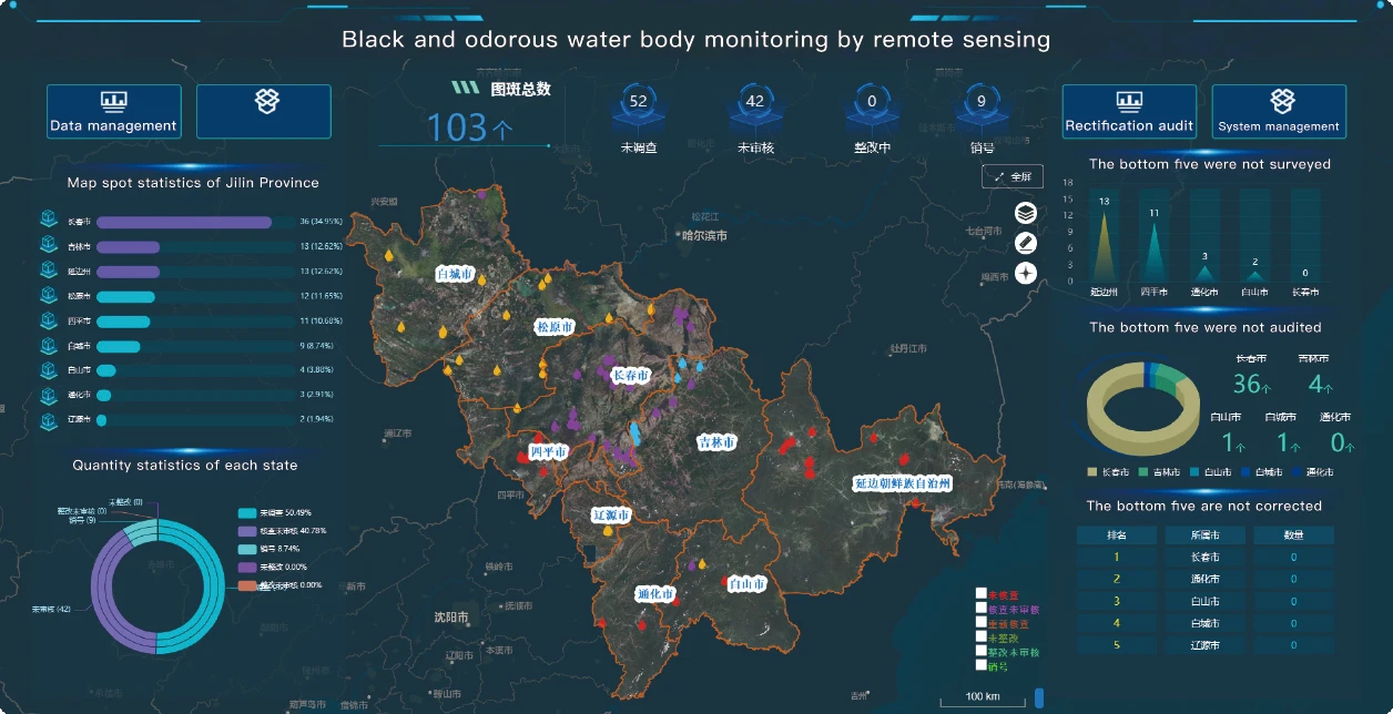
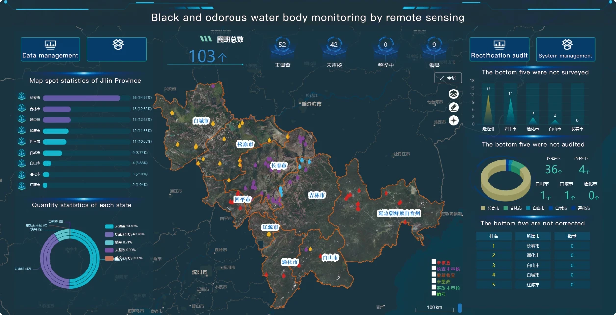
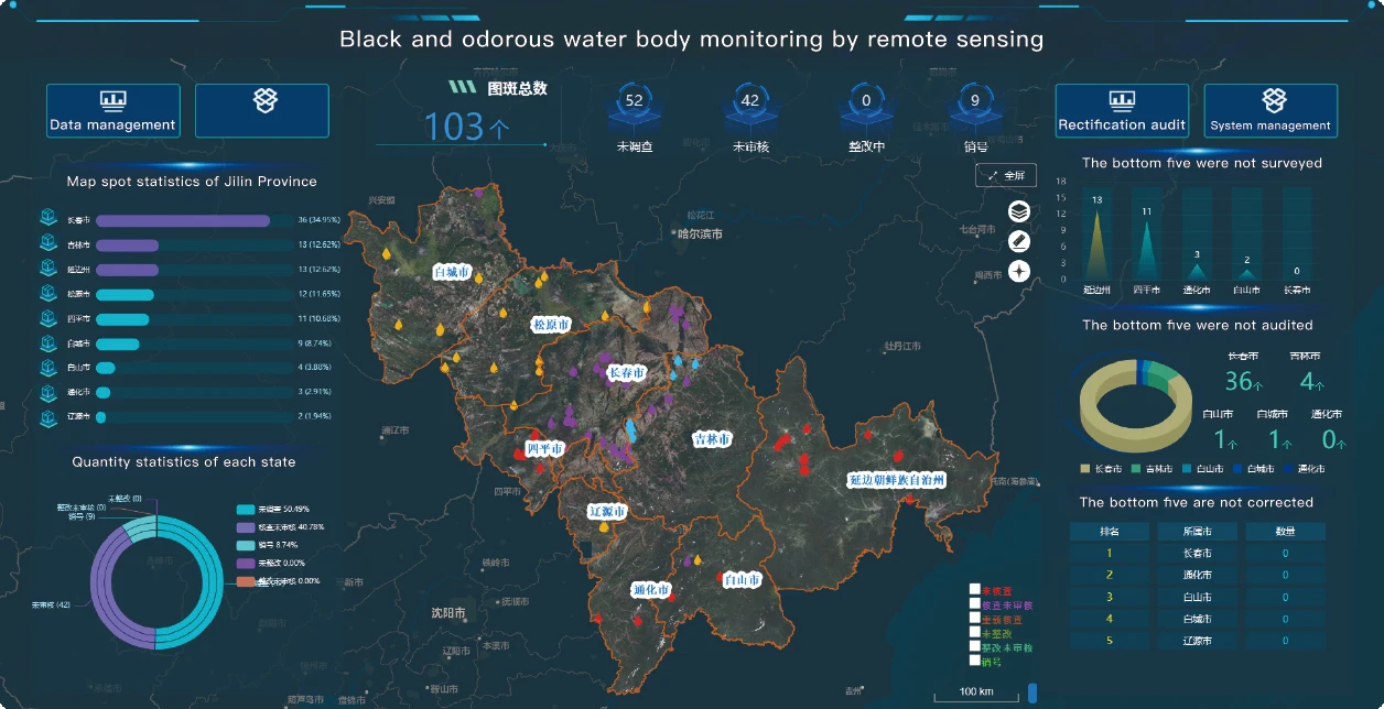
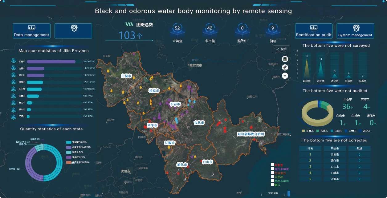
Furthermore, satellite data is integral in the management of marine and freshwater ecosystems. Satellites like Landsat and QuickBird can capture high-resolution images of oceans, lakes, and rivers, providing insights into water quality, algal blooms, and coastal erosion. These applications are essential in the fight against water pollution, coastal degradation, and the preservation of marine biodiversity.
4. Agricultural Sustainability and Food Security with Satellite Imagery
In the context of global food security, satellite data is revolutionizing agriculture by improving food production efficiency while minimizing the environmental impact. One of the most valuable contributions of satellite data is in precision farming, where technology is used to monitor crops, assess soil health, and optimize the use of resources such as water, fertilizers, and pesticides.
Using infrared satellite imagery, farmers can monitor plant health by assessing the chlorophyll content in crops. Healthy vegetation reflects more infrared light, while stressed plants reflect less. This information helps farmers detect problems early, such as nutrient deficiencies, water stress, or pest infestations, allowing them to address issues before they become widespread.
Additionally, Landsat and QuickBird imagery can help farmers monitor large tracts of land, assess crop yield potential, and determine the best planting and harvesting times. By using satellite data, farmers can optimize their operations, reduce waste, and ensure that they are making informed decisions that enhance both crop yield and sustainability.
In regions facing food insecurity, satellite data helps to monitor food production levels and identify areas that are at risk of crop failure due to extreme weather events or poor soil conditions. This enables governments and NGOs to provide timely interventions, such as drought relief or irrigation assistance, to safeguard food supplies.
5. Innovations in Satellite Data Accessibility and Open Data Platforms
One of the most promising developments in satellite technology is the increasing accessibility of satellite data. As global satellite programs like Landsat and Sentinel continue to offer free and open access to their data, researchers, businesses, and governments around the world can utilize this data without incurring high costs.
The Landsat download service, provided by the USGS, allows users to access millions of satellite images, some of which date back to the 1970s. This vast archive enables researchers to analyze long-term trends in land use, vegetation changes, and the effects of climate change over several decades. The open availability of Landsat data is a game-changer for fields such as environmental monitoring, urban planning, and disaster response, where access to historical data is essential for analysis and decision-making.
Furthermore, platforms like Google Earth Engine provide easy access to satellite imagery and geospatial data, allowing users to analyze large datasets without requiring advanced technical expertise. The combination of user-friendly tools and the availability of satellite data types has democratized access to Earth observation data, empowering people to create innovative solutions for local and global challenges.
6. The Future of Satellite Data: Next-Generation Satellites and AI Integration
The future of satellite technology holds incredible promise, particularly in terms of new capabilities and integration with other technologies. Next-generation satellites are expected to feature higher resolution, faster revisit times, and more advanced sensors. These advancements will provide even more detailed and frequent data, opening up new possibilities in industries such as autonomous transportation, resource management, and environmental monitoring.
AI and machine learning are expected to play a significant role in analyzing the vast amount of data generated by these advanced satellites. By leveraging AI algorithms, researchers and businesses can extract actionable insights from satellite imagery much more efficiently, enabling real-time decision-making and predictive analytics. For example, AI can be used to detect changes in land use, predict natural disaster risks, or optimize crop yields based on weather forecasts and satellite data.
The continued improvement in satellite resolution and data processing technologies, coupled with AI, will unlock new applications in health monitoring, smart cities, and even space exploration, as we continue to push the boundaries of Earth observation.
Conclusion: A Future Powered by Satellite Data
The growing capabilities of satellite data types like Landsat, QuickBird, and infrared satellite imagery are shaping the future of global monitoring and management. From improving food security and agricultural sustainability to enhancing disaster response and environmental conservation, satellite data is an essential tool for tackling some of the most pressing challenges facing humanity.
As accessibility to satellite data increases and technology continues to evolve, the potential applications will only expand, offering new opportunities for industries to innovate, improve, and contribute to a more sustainable future. Whether in monitoring ecosystems, managing urban growth, or addressing climate change, the integration of satellite data will remain a critical tool in our efforts to understand and protect the planet.


