- Afrika
- Albania
- Amharic
- Arabic
- Armenian
- Azerbaijani
- Basque
- Belarusian
- Bengali
- Asụsụ Bosnia
- Bulgarian
- Catalan
- Cebuano
- China
- Corsican
- Asụsụ Croatia
- Czech
- Danish
- Dutch
- Bekee
- Esperanto
- Estonia
- Asụsụ Finnish
- French
- Onye Frisian
- Onye Galisi
- Asụsụ Georgian
- German
- Grik
- Gujarati
- Haitian Creole
- Hausa
- Hawaian
- Hibru
- Mba
- Miao
- Asụsụ Hungarian
- Aislandi
- igbo
- Asụsụ Indonesian
- Irish
- Ịtali
- Japanese
- Asụsụ Javanị
- Kannada
- kazakh
- Khmer
- Onye Rwandan
- Korean
- Kurdish
- Kyrgyz
- Ịrụ ọrụ
- Latịn
- Latvia
- Lithuania
- Luxembourgish
- Masedonia
- Malagasy
- Malay
- Malayalam
- Malta
- Maori
- Marathi
- Mongolian
- Myanmar
- Nepali
- Norwegian
- Norwegian
- Occitan
- Pashto
- Asụsụ Persia
- Polish
- Portuguese
- Punjabi
- Romanian
- Russian
- Samoan
- Scottish Gaelic
- Asụsụ Serbian
- Bekee
- Shona
- Sindhi
- Sinhala
- Slovak
- Slovenian
- Somali
- Spanish
- Asụsụ Sudan
- Swahili
- Swedish
- Tagalog
- Tajik
- Tamil
- Tatar
- Telugu
- Thai
- Turkish
- Turkmen
- onye Ukraine
- Urdu
- Uighur
- Uzbek
- Vietnamese
- Welsh
- Enyemaka
- Yiddish
- Yoruba
- Zulu
Unlocking Earth’s Secrets With Multispectral Satellite Imagery
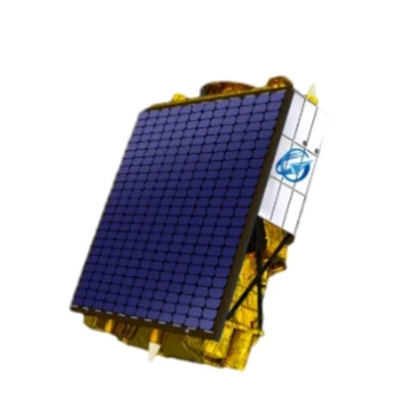
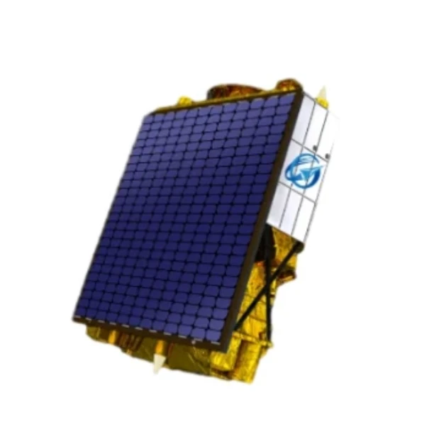
In today’s era of data-driven decision-making, multispectral satellite imagery has become one of the most valuable tools for understanding and managing our planet. A multispectral satellite captures data across various wavelengths of light—beyond what the human eye can see—allowing us to detect subtle differences in land, vegetation, water, and atmosphere. From agriculture to disaster monitoring, the insights provided by multi spectral satellite imagery are transforming industries and enabling better planning, forecasting, and response strategies.
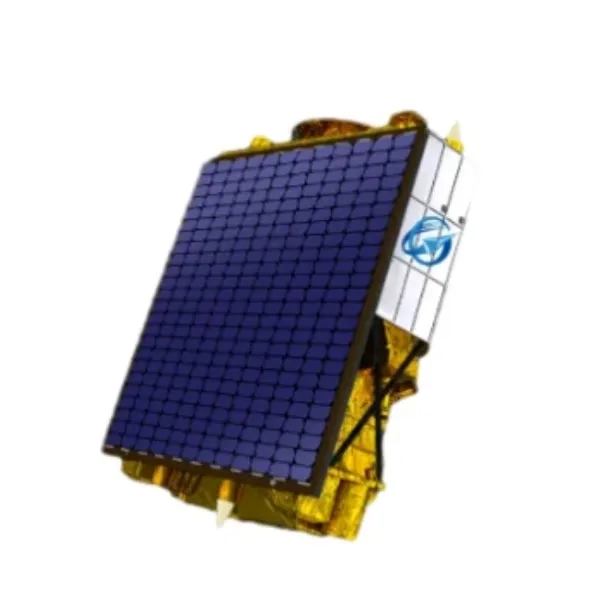
What Is A Multispectral Satellite?
A multispectral satellite is equipped with sensors that can capture reflected light in several distinct bands, typically including visible, near-infrared, and shortwave infrared ranges. Each band highlights different characteristics of Earth’s surface. For example, vegetation reflects strongly in the near-infrared spectrum, making it easy to assess plant health. Soil composition, water clarity, and urban development can also be analyzed using different spectral bands. As technology evolves, multispectral satellites are becoming more advanced, with higher spatial resolution and faster revisit times, ensuring more precise and timely data collection.
The Value Of Multispectral Satellite Imagery In Remote Sensing
Multispectral satellite imagery enables the extraction of critical information from the Earth's surface that would be invisible through traditional photography. By analyzing different spectral layers, remote sensing experts can generate indices such as NDVI (Normalized Difference Vegetation Index), which is widely used to assess crop vitality and land degradation. Multispectral satellite imagery is also vital for monitoring water quality, detecting forest fires, managing coastal erosion, and assessing damage after natural disasters. This imagery is a cornerstone of environmental science, land use planning, and sustainable development initiatives across the globe.
Multi Spectral Satellite Imagery In Modern Applications
The impact of multi spectral satellite imagery can be seen across a wide range of industries. In precision agriculture, farmers use this imagery to detect plant stress, manage irrigation, and optimize fertilizer usage. In forestry, it helps monitor illegal logging and forest regeneration. Urban planners rely on multi spectral satellite imagery to track infrastructure expansion and land cover change. Even in public health, this data aids in tracking the spread of vector-borne diseases by identifying breeding habitats in waterlogged or vegetated areas. The versatility of multi spectral satellite imagery makes it an indispensable tool in today’s connected and climate-aware world.
As Earth observation continues to advance, the role of the multispectral satellite becomes increasingly significant. With more satellites being launched and data becoming more accessible, decision-makers, scientists, and developers alike are harnessing the power of multispectral satellite imagery to build smarter, safer, and more sustainable communities. Whether it's detecting crop disease before it spreads or assessing flood damage in real-time, multi spectral satellite imagery offers a clearer, more comprehensive view of our world—helping us protect it for generations to come.
Nke a bụ akụkọ mbụ


