satellite data providerssatellite data providers
China satelliteChina satellite

Ụgbọ mmiri mbara igwe

ANYỊ bụ ndị na-enye ọrụ ọkachamara

SpaceNavi na-agbaso usoro azụmahịa mgbe niile maka nkwalite mmepe nke mmepụta ngwá ọrụ dị elu na ọrụ ozi, na-elekwasị anya na nyocha na mmepe nke arụmọrụ dị elu, na ọnụ ala satịlaịtị na ikuku-ohere-ala integrated remote sensing ozi ọrụ.
Satellite
high end equipment manufacturing high end equipment manufacturing

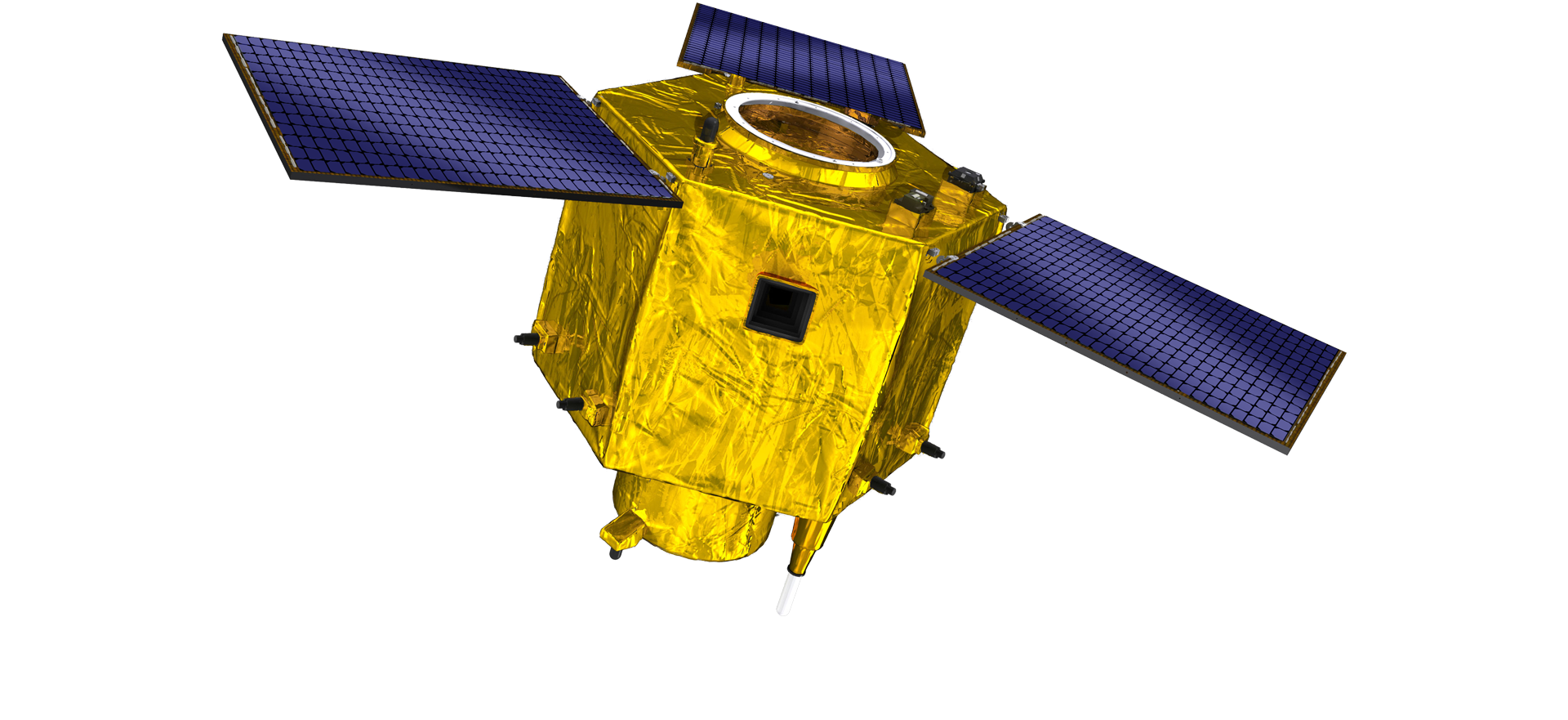
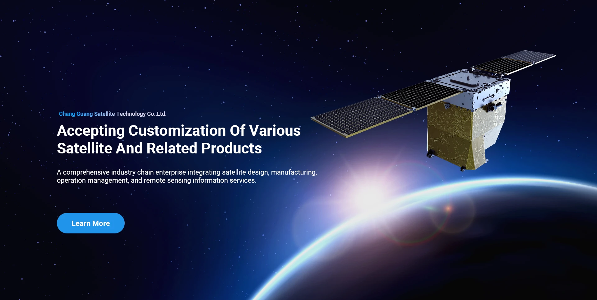
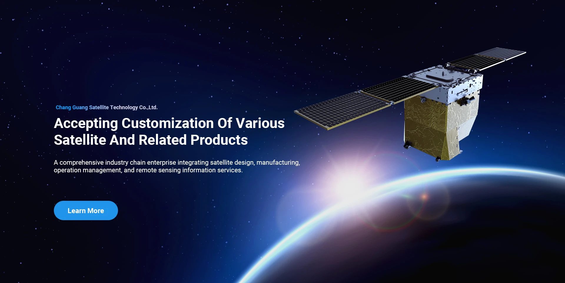
Ụgbọ mmiri mbara igwe na-enye ndị ahịa nwere ọrụ nrụpụta satịlaịtị ahaziri.

Ọ bụrụ na ị nwere mmasị na ngwaahịa anyị, ị nwere ike ịhọrọ ịhapụ ozi gị ebe a, anyị ga-akpọtụrụ gị n'oge na-adịghị anya.

ERIAL

Nnyocha ikuku na-aga nke ọma

Ngwa nke ikpe maka ụgbọ elu

Satellite na-ahụ anya

Ọkwa R&D

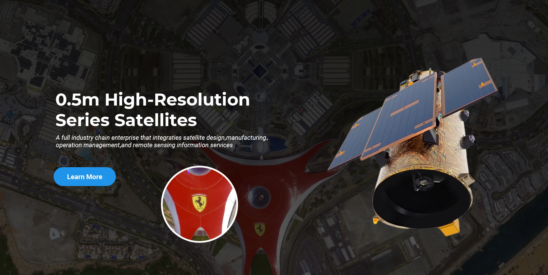
N'ihe banyere satịlaịtị R&D, dị ka ikpe nke Satellite technology development na-emekarị na azụmahịa mmepe mode, ndị isi oru otu agbajiwo site omenala imewe echiche na nakweere ụzọ teknuzu nke "satellite ikpo okwu na ibu mwekota". Mgbe ugboro anọ nke ọganihu n'ime afọ iri, a na-ebelata ịdị arọ nke satịlaịtị na 20kg site na 400kg nke ọgbọ mbụ.

Remote Sensing Satellite

Mpaghara nhazi ngwa anya

Ọnọdụ mmepụta

Ngụkọta mpaghara mpaghara nhazi ngwa anya bụ 10000m2. Mpaghara a nwere ike ịrụ ọrụ mmepụta ihe dị elu nke ngwa anya ngwa anya dị elu, ma nwee ike ịhazi ngwa anya nke ihe ndị e ji emepụta ihe na seramik na silicon carbide, wdg site na nke siri ike ruo nke ọma, yana nchọpụta kwekọrọ.

Optical Processing Area

Ụlọ ọrụ & ụlọ ọrụ

SPACENavi BLOG

Ka ọ dị ugbu a, ụlọ ọrụ ahụ arụworị ọnụ ọgụgụ satịlaịtị na-ahụta igwe submeter kacha ukwuu n'ụwa, nwere ikike ọrụ siri ike.

Jun, 25
20
Exploring the Types of Satellite Internet and Communication Technologies Shaping the Digital Frontier
As the demand for global connectivity continues to grow, satellite-based solutions are rapidly evolving to bridge the digital divide.
Jun, 25
20
Understanding Satellite Bus Structures and Platforms in Remote Sensing Applications
In the rapidly advancing aerospace industry, the satellite platform plays a central role in mission success.
Jun, 25
20
Exploring Satellite Platforms and Communication Networks in Remote Sensing
With the ever-expanding utility of space-based data, the design and selection of satellite platforms in remote sensing have become fundamental to mission planning.
Jun, 25
20
How Multispectral Satellite Imagery is Revolutionizing Data-Driven Decision-Making
In an era defined by rapid environmental change and the need for smarter resource management, multispectral satellite imagery offers a powerful lens through which we can better understand Earth’s surface.
Jun, 25
20
Exploring the Power of Multispectral Satellite Imagery for Smarter Earth Observation
As technology reshapes how we observe and understand the world, multispectral satellite imagery stands at the forefront of advanced data collection and analysis.
Jun, 25
20
Satellite Communication Services and High-Resolution Imaging for the Next Digital Leap
In today’s hyperconnected world, robust satellite communication services and high-resolution imaging systems are playing an increasingly vital role across industries.
Jun, 25
19
Exploring The Benefits Of Multispectral Satellite Imagery For Earth Observation
The use of multispectral satellite technology has significantly enhanced our ability to observe and understand Earth’s surface in remarkable detail.
Jun, 25
19
Unlocking the Power of Multispectral Satellite Technology
In today’s rapidly evolving world, the use of multispectral satellite technology has transformed the way we observe and analyze our planet.

Ọ bụrụ na ị nwere mmasị na ngwaahịa anyị, ị nwere ike ịhọrọ ịhapụ ozi gị ebe a, anyị ga-akpọtụrụ gị n'oge na-adịghị anya.