- Afrika
- Albania
- Amharic
- Arabic
- Armenian
- Azerbaijani
- Basque
- Belarusian
- Bengali
- Asụsụ Bosnia
- Bulgarian
- Catalan
- Cebuano
- China
- Corsican
- Asụsụ Croatia
- Czech
- Danish
- Dutch
- Bekee
- Esperanto
- Estonia
- Asụsụ Finnish
- French
- Onye Frisian
- Onye Galisi
- Asụsụ Georgian
- German
- Grik
- Gujarati
- Haitian Creole
- Hausa
- Hawaian
- Hibru
- Mba
- Miao
- Asụsụ Hungarian
- Aislandi
- igbo
- Asụsụ Indonesian
- Irish
- Ịtali
- Japanese
- Asụsụ Javanị
- Kannada
- kazakh
- Khmer
- Onye Rwandan
- Korean
- Kurdish
- Kyrgyz
- Ịrụ ọrụ
- Latịn
- Latvia
- Lithuania
- Luxembourgish
- Masedonia
- Malagasy
- Malay
- Malayalam
- Malta
- Maori
- Marathi
- Mongolian
- Myanmar
- Nepali
- Norwegian
- Norwegian
- Occitan
- Pashto
- Asụsụ Persia
- Polish
- Portuguese
- Punjabi
- Romanian
- Russian
- Samoan
- Scottish Gaelic
- Asụsụ Serbian
- Bekee
- Shona
- Sindhi
- Sinhala
- Slovak
- Slovenian
- Somali
- Spanish
- Asụsụ Sudan
- Swahili
- Swedish
- Tagalog
- Tajik
- Tamil
- Tatar
- Telugu
- Thai
- Turkish
- Turkmen
- onye Ukraine
- Urdu
- Uighur
- Uzbek
- Vietnamese
- Welsh
- Enyemaka
- Yiddish
- Yoruba
- Zulu
Exploring the Future of Earth Observation
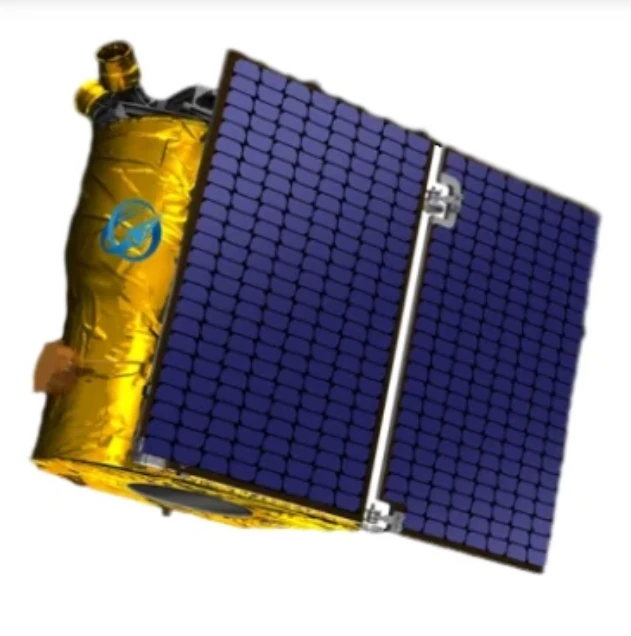
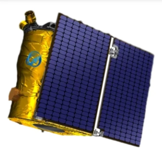
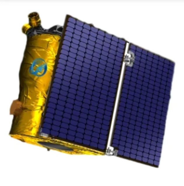
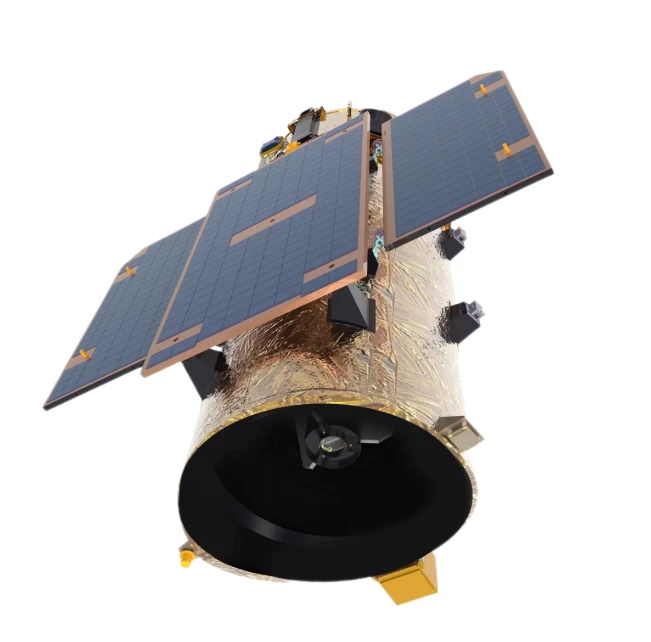
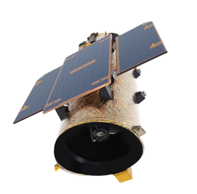
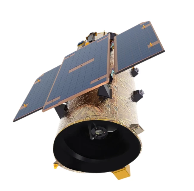
In an era where precise, timely information shapes industries and policies alike, the role of satellite remote sensing data has become indispensable. From environmental monitoring to urban development planning, advanced satellite technologies are transforming how we perceive and interact with the Earth. Among these innovations, high resolution remote sensing images, night time light satellite imagery, and panchromatic satellite imagery stand out, each offering unique capabilities that expand the frontiers of observation. As demand for comprehensive Earth data intensifies, these technologies promise a future rich with insight and opportunity.
The Growing Importance of Satellite Remote Sensing Data in Modern Applications
Today, satellite remote sensing data is a cornerstone for numerous sectors, including agriculture, forestry, disaster management, and national defense. The ability to collect real-time information across vast geographical expanses without the limitations of ground-based surveys offers a clear advantage. Analysts rely on satellite remote sensing data to monitor environmental changes, forecast weather patterns, and assess resource management strategies.
Governments and private industries alike are investing heavily in systems capable of delivering reliable satellite remote sensing data. The versatility of this data, whether in tracking glacial movements or assessing crop health, underpins its critical value in a data-driven world. As satellites grow more sophisticated, the accuracy, frequency, and depth of information derived from satellite remote sensing data continue to improve, reinforcing its role as an essential tool for modern decision-making.
Revolutionizing Observation with High Resolution Remote Sensing Images
Among the advancements in Earth observation, high resolution remote sensing images have revolutionized how we analyze and interpret surface features. Offering unparalleled detail, high resolution remote sensing images allow for the identification of small-scale structures, vegetation types, and urban developments that were previously undetectable with lower-resolution systems.
In urban planning, high resolution remote sensing images enable precise mapping of infrastructure, helping cities expand efficiently while minimizing environmental impact. In agriculture, farmers use these images to monitor crop health at the field level, optimizing resource usage and boosting yields. The continuous improvement of imaging sensors ensures that high resolution remote sensing images remain at the forefront of precision analysis, driving advancements across multiple industries.
Understanding Human Activities Through Night Time Light Satellite Imagery
Night time light satellite imagery offers a unique perspective on human activities that traditional daylight imaging cannot capture. By observing the Earth's surface illumination during the night, analysts can infer patterns of economic development, urban expansion, and even track the impacts of natural disasters. Regions with vibrant nighttime lights typically correspond to centers of economic activity, while areas that go dark after a natural disaster can signal the extent of damage and the need for urgent response.
Researchers and policymakers increasingly depend on night time light satellite imagery for socio-economic studies, conflict analysis, and disaster assessment. The real-time insights gained from night time light satellite imagery not only reveal immediate humanitarian needs but also contribute to long-term planning and recovery efforts. As sensor sensitivity and image processing techniques evolve, the richness of information extracted from night time light satellite imagery is set to deepen even further.
Enhancing Detail and Accuracy with Panchromatic Satellite Imagery
When it comes to capturing sharp, detailed images, panchromatic satellite imagery plays a crucial role. Unlike multispectral imagery that divides light into various bands, panchromatic satellite imagery captures all visible wavelengths in a single band, producing black-and-white images with exceptional spatial resolution. This makes it particularly valuable for applications requiring fine spatial detail, such as infrastructure mapping, precision agriculture, and military reconnaissance.
The high level of clarity provided by panchromatic satellite imagery allows for the detection of small objects and subtle terrain features. It is often combined with multispectral images through a process called pansharpening, which merges the detailed spatial resolution of panchromatic satellite imagery with the rich color information of multispectral data. This synergy enhances the effectiveness of satellite imaging across a wide range of scientific, commercial, and defense applications.
Satellite remote sensing data FAQs
What are the main uses of satellite remote sensing data today?
Satellite remote sensing data is extensively used for environmental monitoring, disaster management, urban planning, agriculture optimization, and national defense strategies. Its ability to provide real-time, large-scale insights makes it invaluable for both public and private sectors.
How do high resolution remote sensing images benefit industries?
High resolution remote sensing images benefit industries by enabling detailed analysis of surface features, assisting in urban infrastructure development, optimizing agricultural practices, and facilitating resource management with unprecedented precision.
Why is night time light satellite imagery important for economic analysis?
Night time light satellite imagery reveals patterns of economic activity, urbanization, and disaster impact that are not visible during the day. It provides critical insights into development levels, recovery progress after disasters, and shifts in population dynamics.
What advantages does panchromatic satellite imagery offer?
Panchromatic satellite imagery provides high spatial resolution images that are ideal for detecting fine details on the Earth's surface. Its ability to capture clear and sharp images supports precision mapping, infrastructure analysis, and enhances multispectral data through pansharpening techniques.
How is the future of satellite remote sensing data shaping industries?
The future of satellite remote sensing data is transforming industries by delivering more frequent, detailed, and versatile insights. With advancements in sensor technologies and data processing, industries can expect even greater accuracy, enabling smarter decision-making and more sustainable development practices.


