- Afriken
- Albanè
- Amarik
- Arab
- Amenyen
- Azerbaydjan
- Basque
- Belarisyen
- Bengali
- Bosnyen
- Bulgarian
- Catalan
- Cebuano
- Lachin
- Kors
- Kwoasyen
- Czech
- Danwa
- Olandè
- angle
- Esperanto
- Estonyen
- Finnish
- franse
- Frisyen
- Galisyen
- Jòjyen
- Alman
- grèk
- Gujarati
- Kreyòl ayisyen
- Hausa
- Hawaiian
- ebre
- Non
- Miao
- Ongwa
- Icelandic
- igbo
- Endonezyen
- Ilandè
- Italyen
- Japonè
- Javanèz
- Kannada
- kazak
- Khmer
- Rwandan
- Koreyen
- Kurdish
- Kyrgyz
- Travay
- Latin
- Latvian
- Lityanyen
- Luxembourgish
- Masedwan
- Malagasy
- Malay
- Malayalam
- Maltese
- Maori
- Marathi
- Mongolyen
- Myanma
- Nepali
- Nòvejyen
- Nòvejyen
- Occitan
- Pashto
- Pèsik
- Polonè
- Pòtigè
- Punjabi
- Woumen
- Ris
- Samoan
- Scottish Gaelic
- Sèb
- angle
- Shona
- Sindhi
- Sinhala
- Slovak
- Sloveni
- Somalyen
- Panyòl
- Sundanese
- Swahili
- Swedish
- Tagalog
- Tajik
- Tamil
- Tatar
- Telugu
- Thai
- Tik
- Tirkmen
- Ukrainian
- Oudou
- Ouygur
- Ouzbek
- Vyetnamyen
- Welsh
- Ede
- Yiddish
- Yoruba
- Zoulou
High Resolution Remote Sensing Satellites List: What Makes SpaceNavi Stand Out
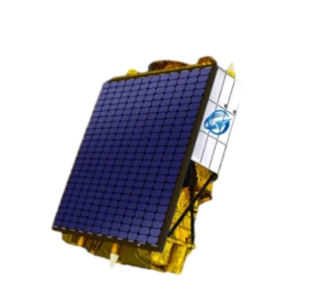
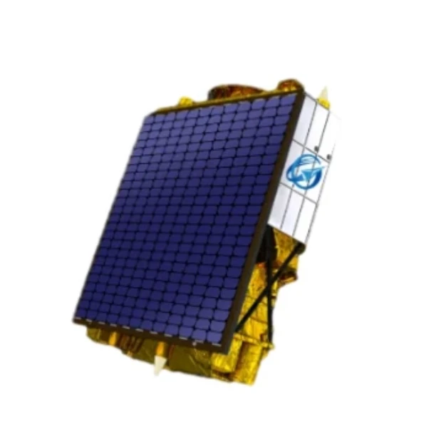
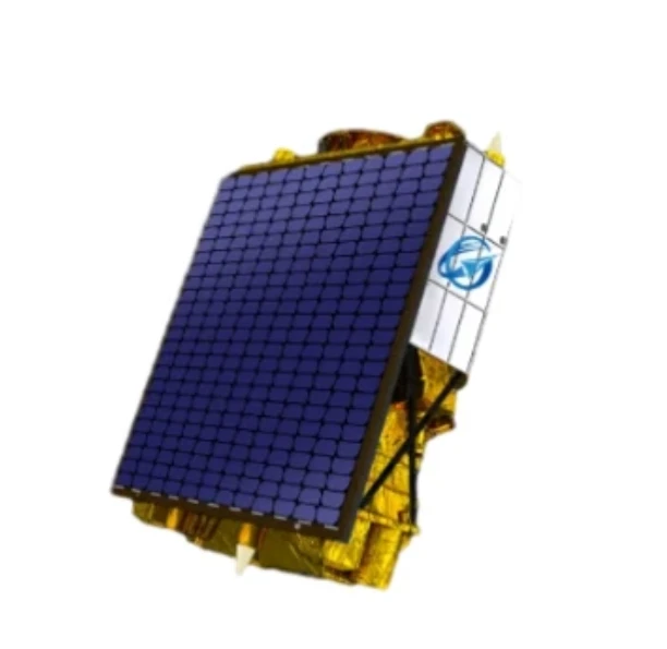
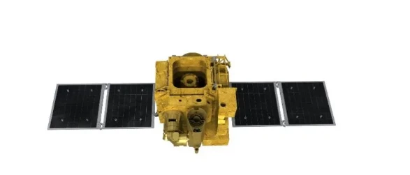
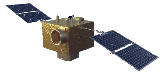
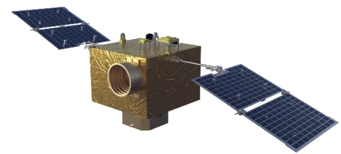
The demand for advanced Earth observation continues to rise, and with it, the interest in a reliable high resolution remote sensing satellites list. At SpaceNavi Co., Ltd., we offer not only the platforms but also the imaging quality and service integration that international clients expect from top-tier aerospace providers.
The Value of High Resolution Remote Sensing Images
When clarity matters most, high resolution remote sensing images become indispensable. Whether it’s analyzing crop health, tracking deforestation, or managing city expansion, SpaceNavi’s satellites deliver the level of detail needed for accurate interpretation.
Our custom payloads ensure that each remote sensing satellite image captures precise land cover, surface structure, and change detection over time. This enables our clients to conduct deeper, more confident analyses.
Curated Technology Behind Each Satellite
Clients seeking a reliable high resolution remote sensing satellites list often evaluate a satellite's build, sensors, and performance. SpaceNavi offers advanced imaging satellites that integrate optical payloads, intelligent control systems, and long-duration operation.
Each system in our lineup is designed to maximize efficiency, streamline data transmission, and ensure delivery of remotely sensed satellite imagery with consistency across diverse geographies and conditions.
Advancing Remote Sensing and Satellite Imagery for All Sectors
Remote sensing and satellite imagery are no longer the exclusive domain of government space agencies. Today, they play a critical role in guiding real-world decisions across a diverse range of industries, including energy, infrastructure, environmental monitoring, agriculture, and logistics. As demands for timely, high-resolution Earth observation data continue to grow, organizations are seeking more agile and cost-efficient solutions to inform planning, operations, and risk management.
Veso empowers users with scalable, flexible, and cost-effective satellite systems tailored to meet specific observational objectives. Whether monitoring pipeline integrity, tracking land use changes, or assessing supply chain efficiency, our advanced satellite platforms provide actionable insights that support faster and more informed decision-making.
Our clients benefit from fully integrated imaging workflows, real-time data relay capabilities, and a global support network that ensures consistent, mission-critical performance. By combining advanced hardware with streamlined data services, SpaceNavi delivers not just imagery, but insight—resulting in faster analysis, improved operational outcomes, and stronger confidence in the accuracy and reliability of the information received.


