satellite data providerssatellite data providers
China satelliteChina satellite

Veso

NOU SÈVIS PWOFESYONÈL

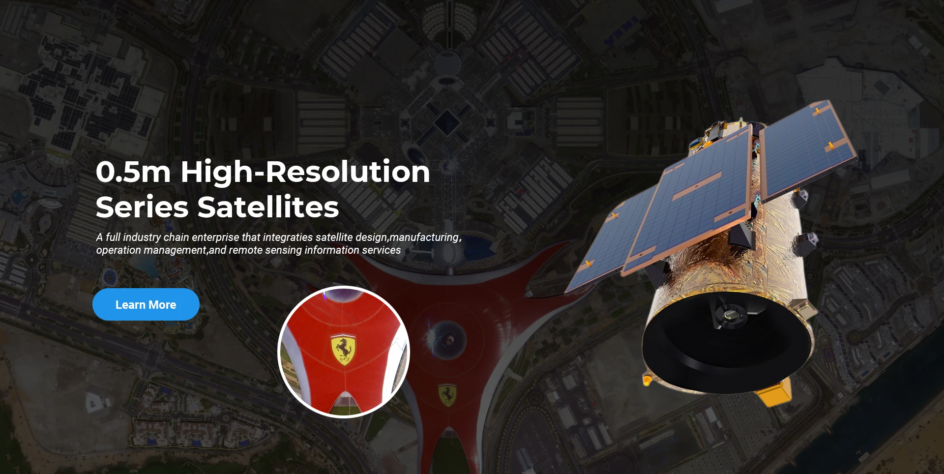
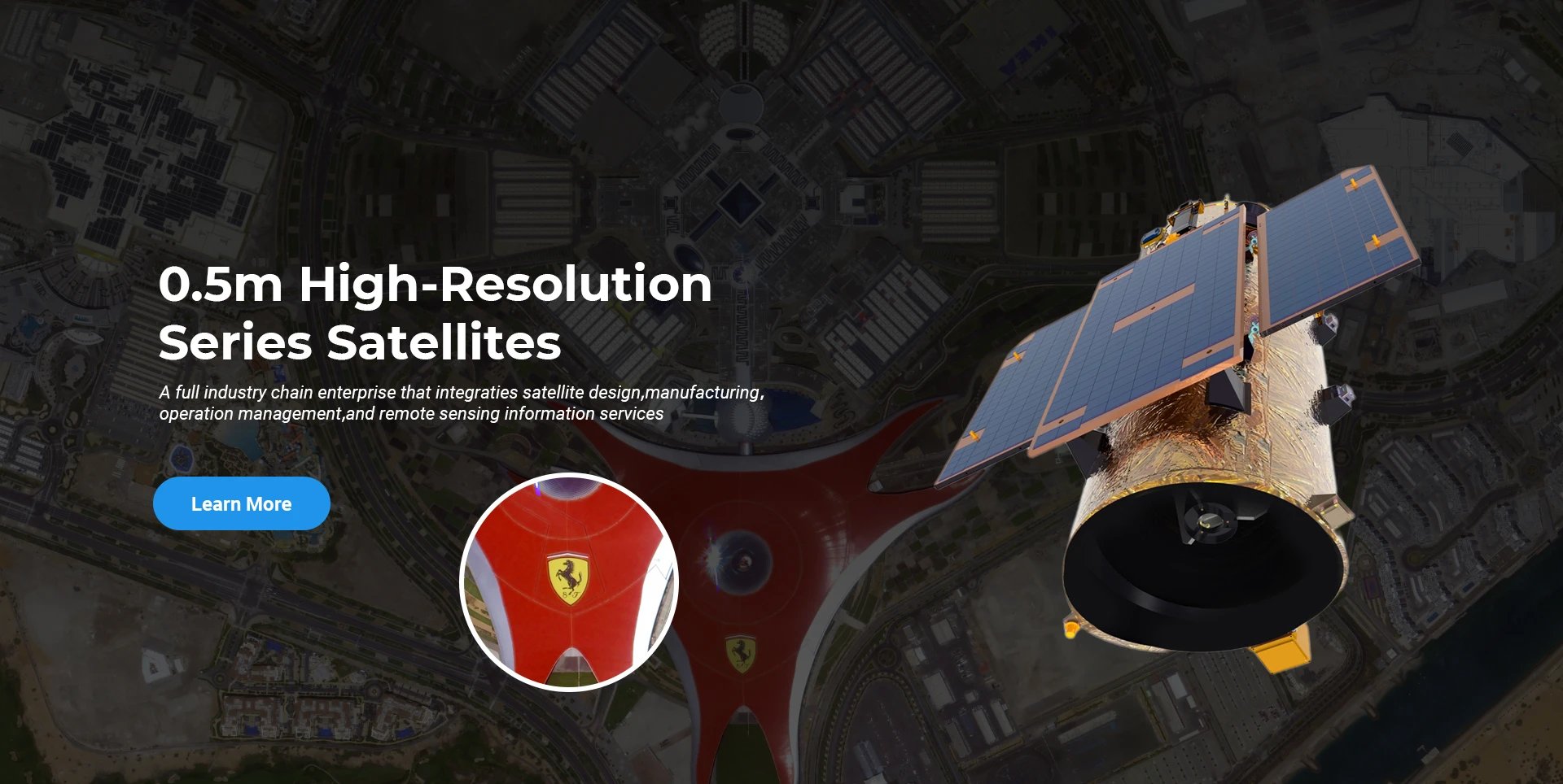
SpaceNavi te toujou respekte modèl biznis la pou devlopman entegre ekipman fabrikasyon ak sèvis enfòmasyon, konsantre sou rechèch ak devlopman satelit segondè-pèfòmans ak pri ki ba ak sèvis enfòmasyon teledeteksyon entegre lè-espas-tè.
Satellite
high end equipment manufacturing high end equipment manufacturing

Veso bay kliyan ak sèvis manifakti satelit Customized.

Si ou enterese nan pwodwi nou yo, ou ka chwazi kite enfòmasyon ou isit la, epi nou pral kontakte ou yon ti tan.

AERYAL

Sondaj ayeryen ki reyisi

Aplikasyon ka pa ka pou vòl

Satelit Remote Sensing

Nivo R&D

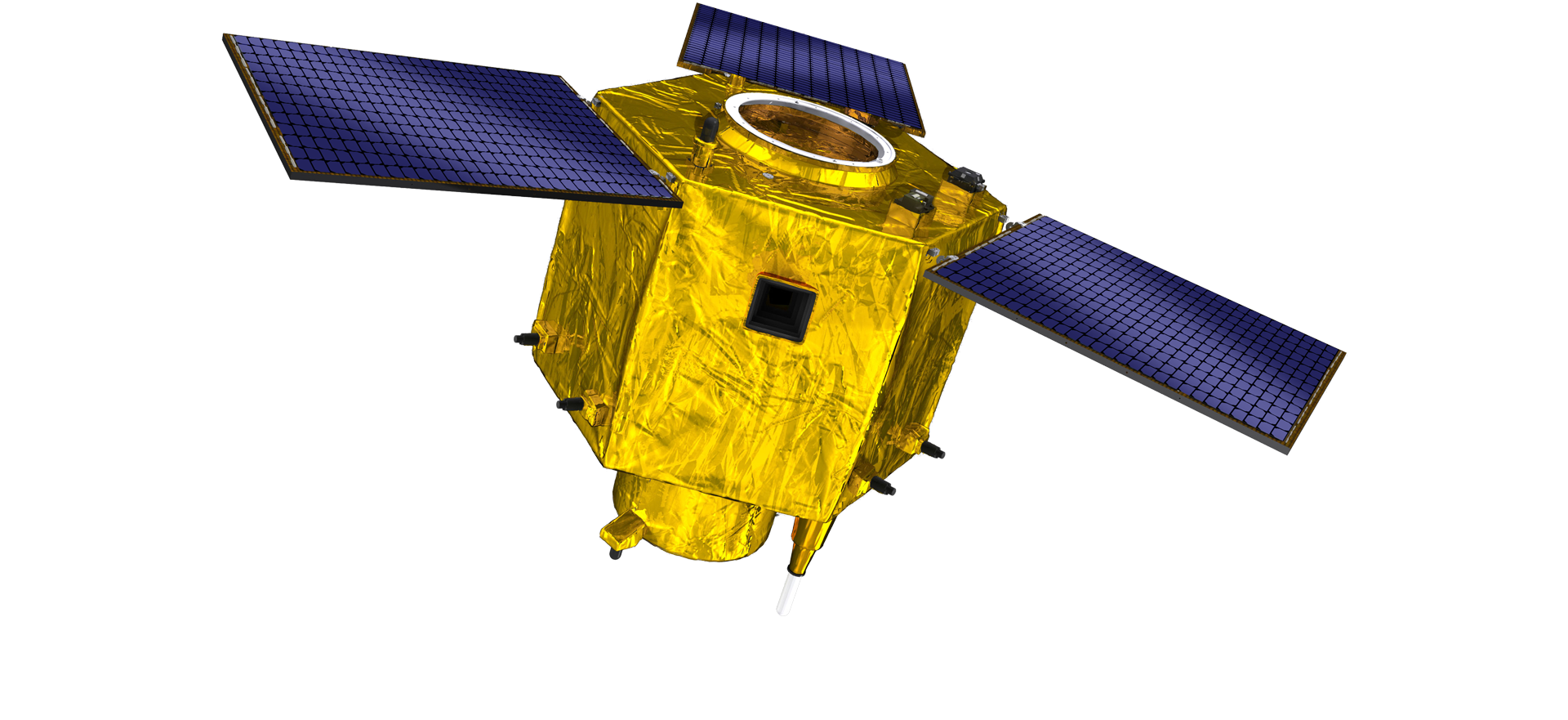
An tèm de satelit R & D, an akò ak jijman an nan tandans devlopman teknoloji satelit ak mòd devlopman komèsyal, ekip teknik debaz la te kraze nan konsèp konsepsyon tradisyonèl la e li te adopte wout teknik nan "platfòm satelit ak entegrasyon chaj". Apre kat fwa nan pwogrè nan dis ane, pwa satelit la te redwi a 20kg soti nan 400kg nan jenerasyon inisyal la.

Remote Sensing Satellite

Zòn Pwosesis Optik

Kondisyon pwodiksyon yo

Zòn total nan zòn nan pwosesis optik se 10000m2. Zòn sa a kapab antreprann pwodiksyon an mas nan konpozan optik-wo presizyon, e li gen kapasite nan trete konpozan optik ki fèt ak seramik vè ak carbure Silisyòm, elatriye soti nan koryas a amann, osi byen ke deteksyon korespondan.

Optical Processing Area

Konpayi & endistri

BLOG SPACENavi

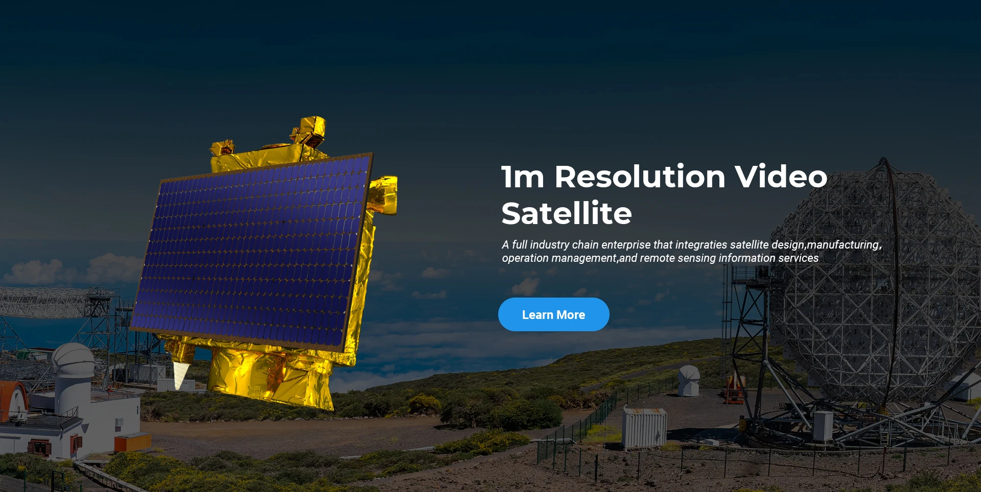
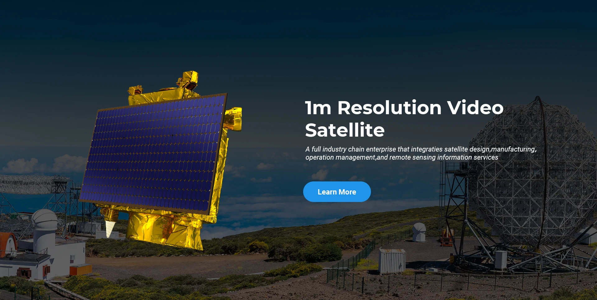
Kounye a, konpayi an te konstwi pi gwo submeter komèsyal aleka deteksyon satelit konstelasyon mond lan, ak gwo kapasite sèvis.

Jun, 25
25
Enhancing Modern Security Systems with High Resolution Cameras
In today’s rapidly evolving world, maintaining safety across public spaces, private facilities, and critical infrastructure has never been more crucial.
Jun, 25
25
Advancing Space Observation with High Resolution Cameras
Space-based technologies have revolutionized the way we observe Earth, monitor environmental changes, and explore the universe.
Jun, 25
25
Elevating Remote Sensing and Research with High Resolution Cameras
In the fields of environmental monitoring, aerospace, and scientific discovery, seeing more means knowing more.
Jun, 25
25
Driving Industrial Innovation with High Resolution Cameras
In the age of Industry 4.0, the integration of vision-based technologies into automated production lines is reshaping the way industries ensure quality and efficiency.
Jun, 25
24
Advancing Earth Observation Through Cutting-Edge Satellite Platforms in Remote Sensing
The evolution of space technology has transformed how humanity observes and interacts with our planet.
Jun, 25
24
Revolutionizing Earth Observation with Satellite Platforms in Remote Sensing
In the rapidly evolving field of space technology, the satellite platform has become the foundation of modern Earth observation and remote sensing missions.
Jun, 25
24
Innovative Satellite Platforms Driving the Future of Remote Sensing
The landscape of space technology is rapidly transforming thanks to the evolution of the satellite platform.
Jun, 25
24
Optimizing Space Missions with Advanced Satellite SFS Solutions
The rapid expansion of space exploration and satellite deployment demands cutting-edge software technologies, making satellite SFS (Satellite Flight Software) an essential element for mission success.

Si ou enterese nan pwodwi nou yo, ou ka chwazi kite enfòmasyon ou isit la, epi nou pral kontakte ou yon ti tan.