satellite data providerssatellite data providers
China satelliteChina satellite

Nā moku lewa

HE POE HANA HANA

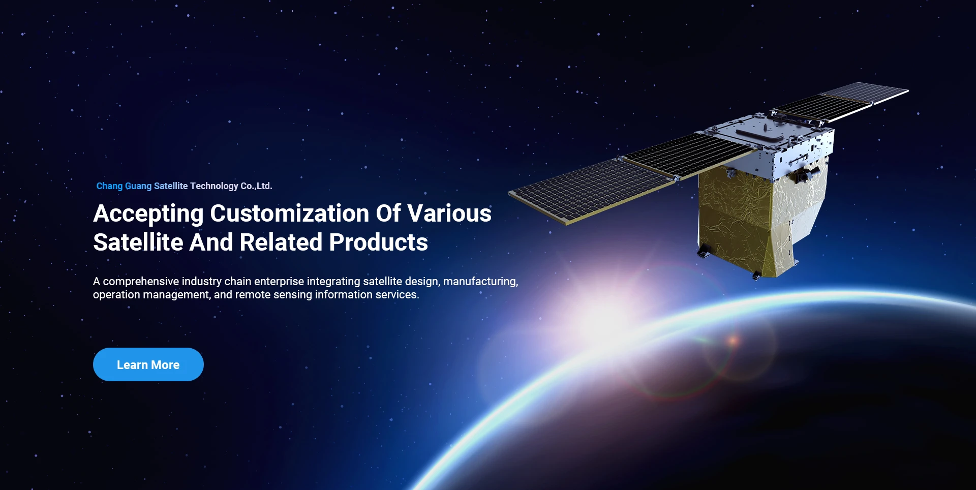
Ua hoʻopili mau ʻo SpaceNavi i ka hoʻohālike pāʻoihana no ka hoʻomohala ʻana i nā mea hana kiʻekiʻe kiʻekiʻe a me nā lawelawe ʻike, e kālele ana i ka noiʻi a me ka hoʻomohala ʻana i nā mea hana kiʻekiʻe, a me nā ukali haʻahaʻa a me nā lawelawe ʻike ʻike mamao.
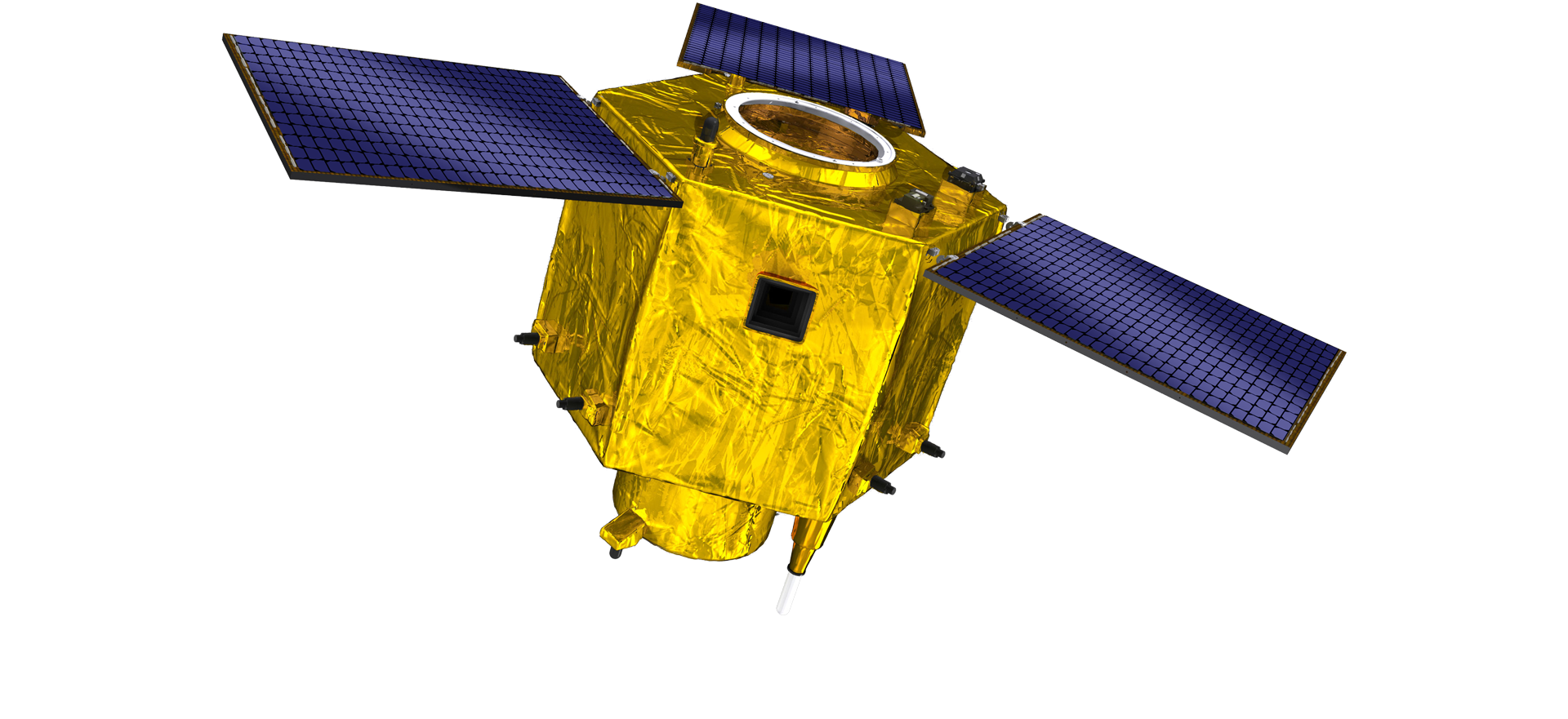
Satellite
high end equipment manufacturing high end equipment manufacturing

Nā moku lewa hoolako nā mea kūʻai aku me nā lawelawe hana satellite maʻamau.

Inā makemake ʻoe i kā mākou huahana, hiki iā ʻoe ke koho e waiho i kāu ʻike ma aneʻi, a e hoʻopili koke mākou iā ʻoe.

AERIAL

NANA ANA IA ELEI

Ke noi hihia no nā mokulele

Satellite Sensing Remote

Papa R&D

Ma nā ʻōlelo o ka satellite R&D, e like me ka hoʻoholo ʻana o ke ʻano hoʻomohala ʻenehana satellite a me ke ʻano hoʻomohala pāʻoihana, ua uhaʻi ka hui ʻenehana nui i ka manaʻo hoʻolālā kuʻuna a lawe i ke ala ʻenehana o ka "platele satellite and load integration". Ma hope o ʻehā mau manawa o ka holomua i nā makahiki he ʻumi, ua hoʻemi ʻia ke kaumaha o ka satellite i 20kg mai 400kg o ka hanauna mua.

Remote Sensing Satellite

Wahi Hoʻoponopono Optical

Nā Kūlana Hana

ʻO 10000m2 ka nui o ka'āpana o ka'āpana hoʻoponopono optical. Hiki i kēia wahi ke hana i ka hana nui o nā ʻāpana optical kiʻekiʻe, a loaʻa iā ia ka hiki ke hana i nā ʻāpana optical i hana ʻia me nā ceramics aniani a me ka silicon carbide, a me nā mea ʻē aʻe mai ke koʻikoʻi a i ka maikaʻi, a me ka ʻike pili.

Optical Processing Area

Hui&hana

SPACENavi BLOG

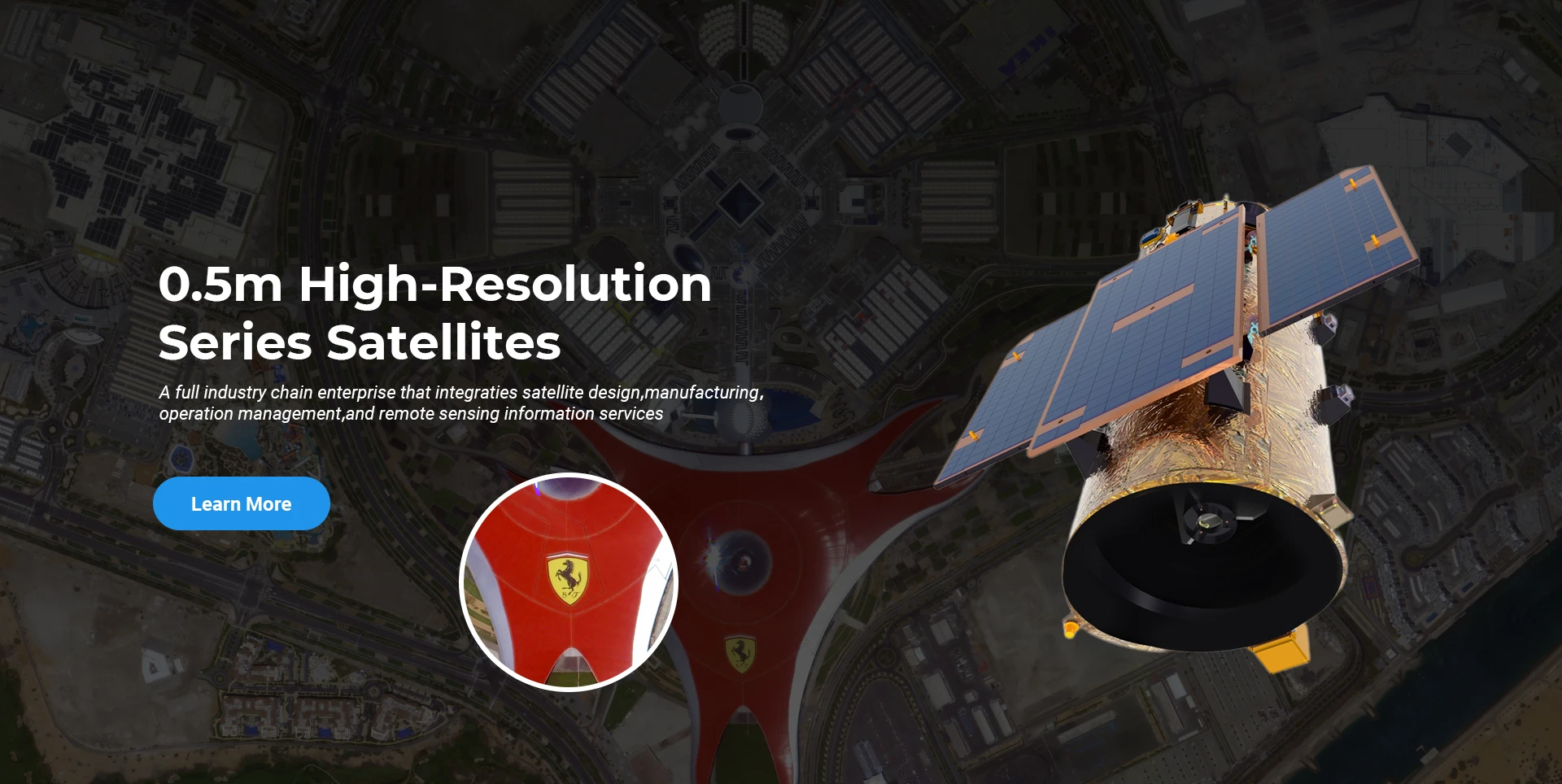
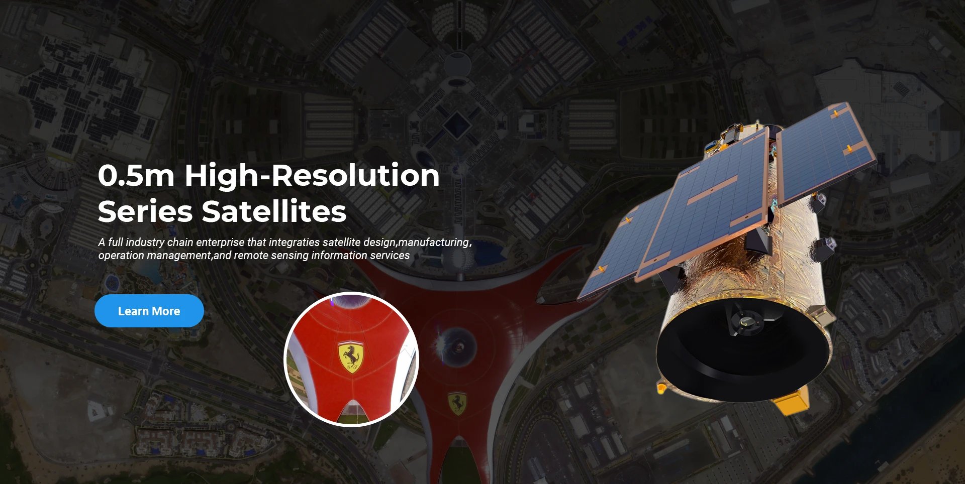
I kēia manawa, ua kūkulu ka hui i ka nui o ka honua submeter pāʻoihana mamao sensing satellite constellation, me nā mana lawelawe ikaika.

Jun, 25
25
Enhancing Modern Security Systems with High Resolution Cameras
In today’s rapidly evolving world, maintaining safety across public spaces, private facilities, and critical infrastructure has never been more crucial.
Jun, 25
25
Advancing Space Observation with High Resolution Cameras
Space-based technologies have revolutionized the way we observe Earth, monitor environmental changes, and explore the universe.
Jun, 25
25
Elevating Remote Sensing and Research with High Resolution Cameras
In the fields of environmental monitoring, aerospace, and scientific discovery, seeing more means knowing more.
Jun, 25
25
Driving Industrial Innovation with High Resolution Cameras
In the age of Industry 4.0, the integration of vision-based technologies into automated production lines is reshaping the way industries ensure quality and efficiency.
Jun, 25
24
Advancing Earth Observation Through Cutting-Edge Satellite Platforms in Remote Sensing
The evolution of space technology has transformed how humanity observes and interacts with our planet.
Jun, 25
24
Revolutionizing Earth Observation with Satellite Platforms in Remote Sensing
In the rapidly evolving field of space technology, the satellite platform has become the foundation of modern Earth observation and remote sensing missions.
Jun, 25
24
Innovative Satellite Platforms Driving the Future of Remote Sensing
The landscape of space technology is rapidly transforming thanks to the evolution of the satellite platform.
Jun, 25
24
Optimizing Space Missions with Advanced Satellite SFS Solutions
The rapid expansion of space exploration and satellite deployment demands cutting-edge software technologies, making satellite SFS (Satellite Flight Software) an essential element for mission success.

Inā makemake ʻoe i kā mākou huahana, hiki iā ʻoe ke koho e waiho i kāu ʻike ma aneʻi, a e hoʻopili koke mākou iā ʻoe.