Tag/land use classification
-
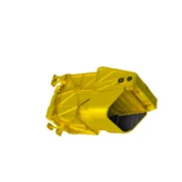 Multispectral Camera With A Resolution Of 5m
 -
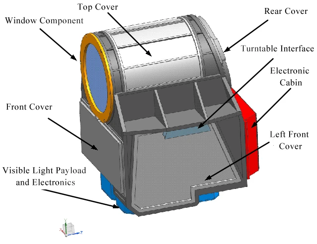 Infrared Search and Track Instrument
 -
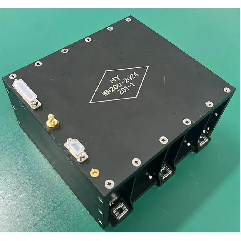 Lithium Battery Pack
 -
 Star Sensor
 -
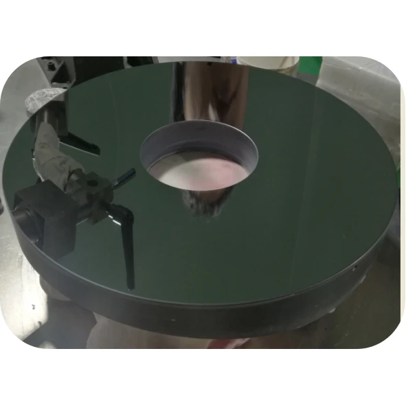 Silicon Carbide Reflective Mirror
 -
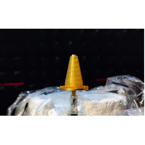 Antenna Products
 -
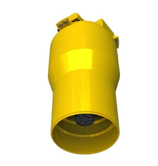 Push-Broom Camera With A Resolution Of 0.75m
 -
 Technical Specifications of Changguang TW Series UAV
 -
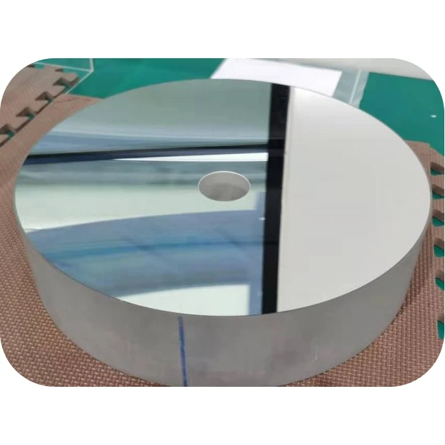 Fused Quartz Reflective Mirror
 -
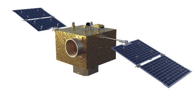 Flight Platform
Produtct Title
land use classification-
Energy Finance Field Application

-
Graphitic Heat-Conducting Film

-
Satellite-Rocket Separation Mechanism
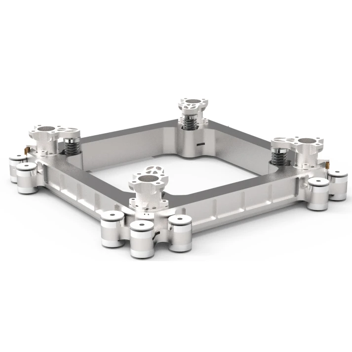
-
Multi-Layer Thermal Insulation Cover
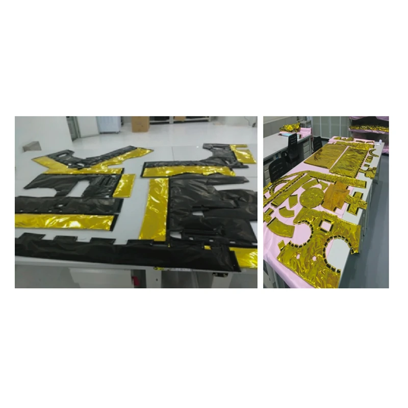
-
Laser Communication Payload
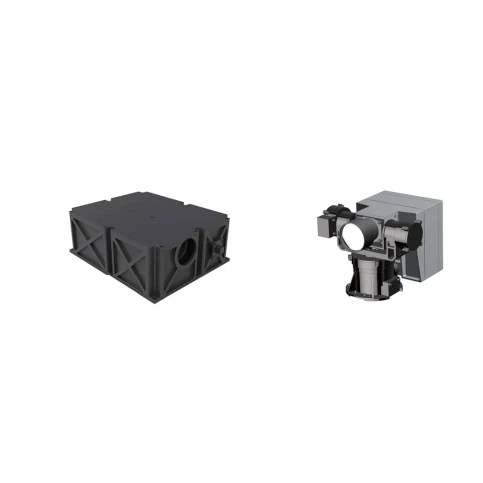
-
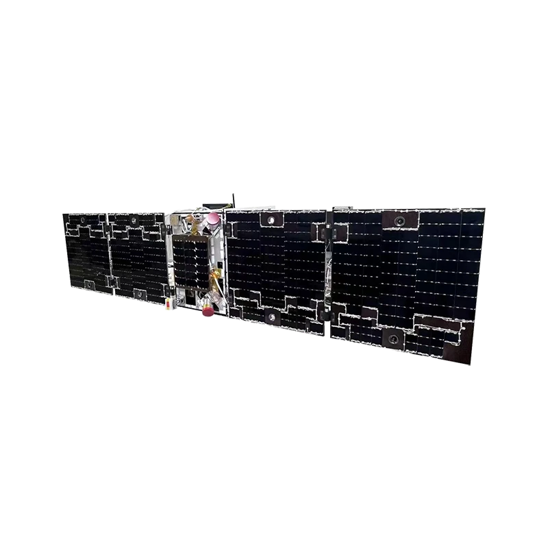
Folding and unfolding mechanism
-
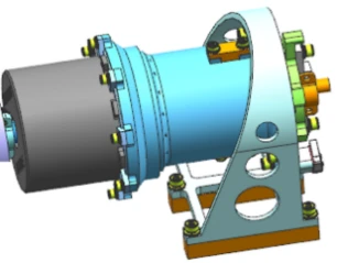
SADA
-
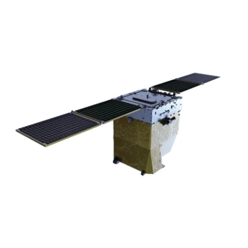
150km Swath Width Kf Satellite
-
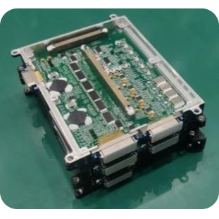
Power Distribution And Thermal Control Management Unit
-
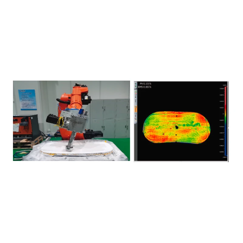
Intelligent And Efficient Robot CNC Polishing System
-
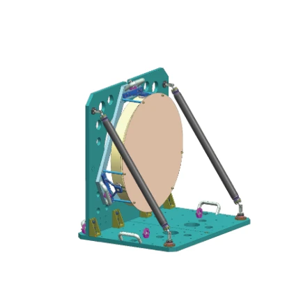
Reference Flat Mirror
-
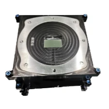
CMOS Focal Plane
-
Fundus Imager

-
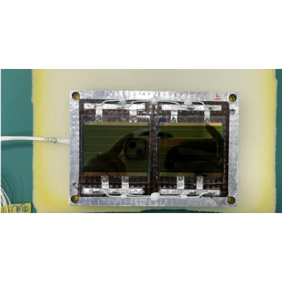
Perovskite Solar Arrays
Related News
-
2025-04-12VSAT Link vs Star Link Service High-Speed Satellite Internet Solutions for Global Coverage & Mobile Use
-
2025-04-14Satellite Communication Use Reliable Global Connectivity & Land Imaging Solutions
-
2025-04-21HD Night Vision Camera Crystal Clear 24/7 Surveillance Outdoor/Indoor Use
-
2025-04-22Satellite Communication Use Global Connectivity & Real-Time Data Solutions TechLynx
-
2025-04-25High-Resolution Remote Sensing Satellite Imagery for Accurate Land Use Classification & AnalysisIntroduction to Remote Sensing Satellite Imaging Technical Advanta
-
2025-04-25Precision Land Use Classification & GNSS Solutions Advanced Global Navigation Satellite Systems
-
2025-04-25Spy Watch Camera with Night Vision HD - Covert Infrared Surveillance for Day & Night UseIntroduction to Modern Surveillance Solutions Technical Advantages
-
2025-04-25Satellite Technology Solutions Military Surveillance, Land Use Classification & Environmental Monitoring
-
2025-04-26Remote Sensing Satellite Images High-Res Land Use Mapping & Geospatial Data
-
2025-04-26High-Resolution Remote Sensing Satellite Images for Land Use Analysis [Brand]Introduction to Modern Satellite Imaging Technological Advancement
-
2025-04-27Land Use Classification & Analysis with High-Res Satellite ImageryIndustry Context & Data-Driven Demand for Land Use Analysis Techni
-
2025-05-08Unlocking the Power of Satellite Remote Sensing in Modern Land AnalysisAs technology rapidly advances, our ability to observe and understand the Earth's surface has grown exponentially.
-
2025-05-28Land Use Classification Tools AI-Driven Satellite Image Analysis 60 CharsAccurate land use classification using satellite imagery. AI-powered analysis for urban planning, agriculture & environmental monitoring. Boost efficiency with automated image classification – request a demo now!
-
2025-05-28Land Cover Change Detection & Forest Monitoring Solutions EcoInsightTrack land cover changes with precision using AI-driven analysis. Ideal for environmental agencies, researchers, and conservationists. Monitor forest loss, detect shifts in ecosystems, and make data-driven decisions. Start your free trial today!
-
2025-05-28Precision Analytical Optical Instrumentation for Lab & Industrial UseBoost research accuracy with advanced analytical optical instrumentation. Ideal for labs, quality control, and R&D. Durable, precise, and versatile. Discover premium optical prism tools now – optimize your analysis today!
-
2025-04-23Ultra-Fast Satellite Communication Solutions for LEO Networks & Night Vision Tech
-
2025-04-23Ultra-Fast Satellite Communication Solutions for LEO Networks & Night Vision Tech
-
2025-04-24Ultra-Fast Satellite Communication Solutions for LEO Networks & Night Vision Tech
-
2025-05-26Transforming Earth Observation with Remotely Sensed Satellite ImageryToday’s global challenges—from climate change to urbanization—demand better information from above.
-
2025-04-22Satellite Support ServicesSatellite communication has become an essential part of modern infrastructure, providing high-speed internet, GPS navigation, and more.
Related Search
- military use of satellites
- satellite communication use
- use of communication satellite
- use of gnss
- use of satellites
- component use
- remote sensing satellite image of land use
- image classification
- land use classification
- land cover change
- quasar satellite
- square microstrip patch antenna
- ground station
- night vision camera video
- mobile satellite internet
- camera nano
- portable optical oxygen meter
- uav satellite communication
- high mp camera
- electro-optical systems
- optical scientific instruments
- attitude and orbit control system in satellite communication
- phased array starlink
- mechanical equipment company
- forest cover monitoring
- installing starlink dish
- power system
- aerial and satellite services
- component supplier
- iot cubesat