- الأفريقي
- الألبانية
- الأمهرية
- عربي
- الأرمنية
- أذربيجاني
- الباسكية
- البيلاروسية
- البنغالية
- البوسنية
- البلغارية
- الكاتالونية
- سيبوانو
- الصين
- كورسيكي
- الكرواتية
- التشيكية
- دانماركي
- هولندي
- إنجليزي
- الإسبرانتو
- الإستونية
- الفنلندية
- فرنسي
- الفريزية
- الجاليكية
- جورجي
- الألمانية
- اليونانية
- الغوجاراتية
- الكريولية الهايتية
- الهاوسا
- هاواي
- العبرية
- لا
- مياو
- المجرية
- الأيسلندية
- إيجبو
- اللغة الإندونيسية
- ايرلندي
- ايطالي
- اليابانية
- الجاوية
- كانادا
- الكازاخستانية
- الخميرية
- رواندية
- كوري
- كردي
- قيرغيزستان
- تَعَب
- اللاتينية
- اللاتفية
- الليتوانية
- اللوكسمبورغية
- المقدونية
- اللغة الملغاشية
- الملايو
- المالايالامية
- المالطية
- الماوري
- الماراثى
- المنغولية
- ميانمار
- النيبالية
- النرويجية
- النرويجية
- أوكيتاني
- البشتونية
- الفارسية
- بولندي
- البرتغالية
- البنجابية
- روماني
- الروسية
- ساموا
- الغيلية الاسكتلندية
- الصربية
- إنجليزي
- شونا
- السندية
- السنهالية
- السلوفاكية
- السلوفينية
- الصومالية
- الأسبانية
- اللغة السوندانية
- السواحلية
- السويدية
- التاغالوغية
- الطاجيكية
- التاميلية
- التتار
- التيلجو
- تايلاندي
- اللغة التركية
- تركمان
- الأوكرانية
- الأردية
- الأويغور
- الأوزبكية
- الفيتنامية
- الويلزية
- يساعد
- اليديشية
- اليوروبا
- الزولو
Live Satellite Camera: Bringing Real-Time Views of Earth to Everyone
The live satellite camera technology has revolutionized the way we observe our planet by providing continuous, real-time imagery from space. This advancement allows scientists, educators, emergency responders, and the general public to monitor environmental changes, natural disasters, and atmospheric conditions as they happen. With platforms like NASA Worldview offering live satellite camera live online NASA feeds, users gain access to dynamic views that complement high resolution satellite images and other forms of free satellite imagery. This article explores the capabilities of the live satellite camera, discusses its applications, reviews associated technologies like satellite camera megapixel and satellite camera price, and highlights the integration of remote sensing microwave in modern Earth observation.
What Is a Live Satellite Camera?
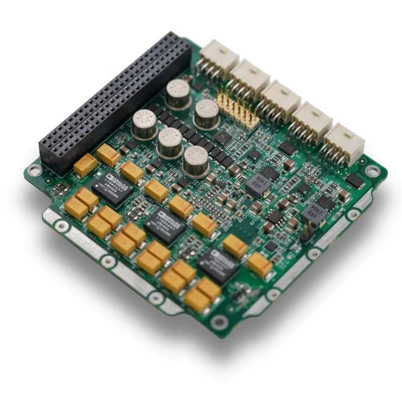
A live satellite camera is a spaceborne imaging device that continuously captures and transmits real-time video or images of Earth’s surface and atmosphere. Unlike traditional satellites that store images for later transmission, live cameras offer streaming views, enabling immediate observation of global events.
These cameras are typically installed on satellites or the International Space Station (ISS), providing unique vantage points. The satellite camera location plays a crucial role in determining the scope and frequency of coverage, with Low Earth Orbit (LEO) satellites and ISS cameras delivering high-detail, dynamic perspectives.
Applications of Live Satellite Camera Technology
The availability of live satellite camera feeds has transformed multiple fields. Emergency response teams use real-time views to assess ongoing disasters such as wildfires, hurricanes, floods, and volcanic eruptions. These images guide swift decision-making, resource deployment, and risk assessment.
Environmental monitoring benefits as well, with live cameras enabling the tracking of weather systems, ocean currents, and atmospheric phenomena. Researchers and educators use live feeds to engage students and the public in Earth sciences, fostering a deeper understanding of planetary processes.
Beyond scientific and educational uses, live satellite camera technology supports media organizations by providing up-to-date visuals for news coverage and documentaries.
Technical Considerations: Satellite Camera Megapixel and Price
The quality of images produced by a live satellite camera depends on specifications such as satellite camera megapixel count and the sophistication of imaging sensors. Higher megapixels provide clearer, more detailed visuals, crucial for accurate analysis.
However, incorporating high-resolution live streaming capabilities increases the satellite camera price, reflecting the advanced hardware and data transmission systems required. These costs influence satellite design and mission planning.
Understanding the balance between image quality, data bandwidth, and cost is essential for developing effective live satellite camera systems.
Complementary Technologies: Remote Sensing Microwave and Free Satellite Imagery
Remote sensing microwave technology complements optical live feeds by offering observation capabilities under all weather conditions and lighting scenarios. This robustness enhances continuous Earth monitoring and data reliability.
Coupled with the availability of free satellite imagery and platforms like NASA Worldview and high resolution satellite imagery Google Earth, users gain a comprehensive toolkit for Earth observation, combining static, near real-time, and live data streams.
Educational and Public Engagement Benefits
The accessibility of live satellite camera live online NASA streams offers an unparalleled educational resource. Students, educators, and the public can observe Earth’s dynamic environment in real-time, fostering curiosity and environmental awareness.
Many educational institutions incorporate live feeds into curricula, using them to demonstrate concepts in geography, meteorology, and environmental science.
Conclusion
The live satellite camera represents a significant advancement in Earth observation technology, offering continuous, real-time imagery that enhances disaster response, environmental monitoring, education, and media coverage. Integrated with platforms such as NASA Worldview, these cameras provide dynamic views that complement high resolution satellite images and free satellite imagery.
Understanding factors like satellite camera megapixel, satellite camera price, and the impact of satellite camera location enriches our appreciation of this technology’s capabilities and challenges. Alongside remote sensing microwave and other remote sensing technologies, live satellite camera systems play a vital role in advancing global understanding of our planet.
هذه هي المقالة الأولى


