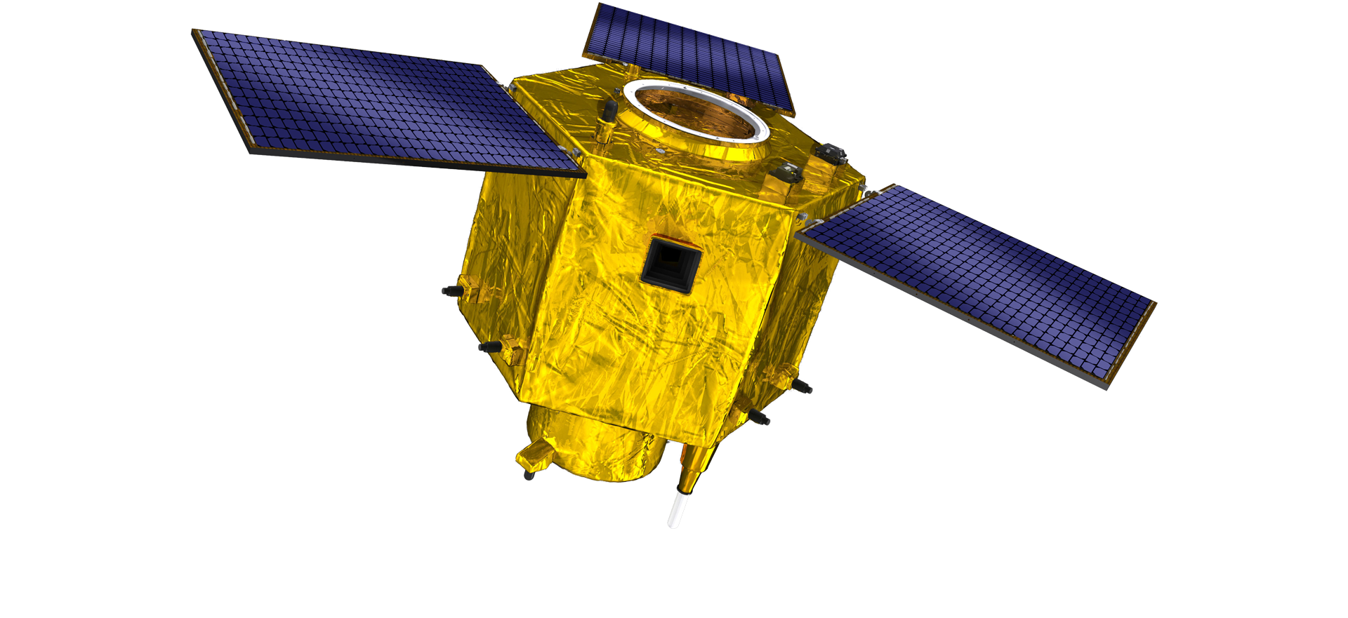
satellite data providerssatellite data providers
China satelliteChina satellite

Awọn ọkọ oju-aye

A jẹ Olupese IṣẸ IṣẸ

SpaceNavi ti nigbagbogbo faramọ awoṣe iṣowo fun idagbasoke iṣọpọ ti iṣelọpọ ohun elo giga-giga ati awọn iṣẹ alaye, ni idojukọ lori iwadii ati idagbasoke iṣẹ-giga, ati awọn satẹlaiti iye owo kekere ati awọn iṣẹ alaye oye isakoṣo latọna jijin aaye-afẹfẹ.
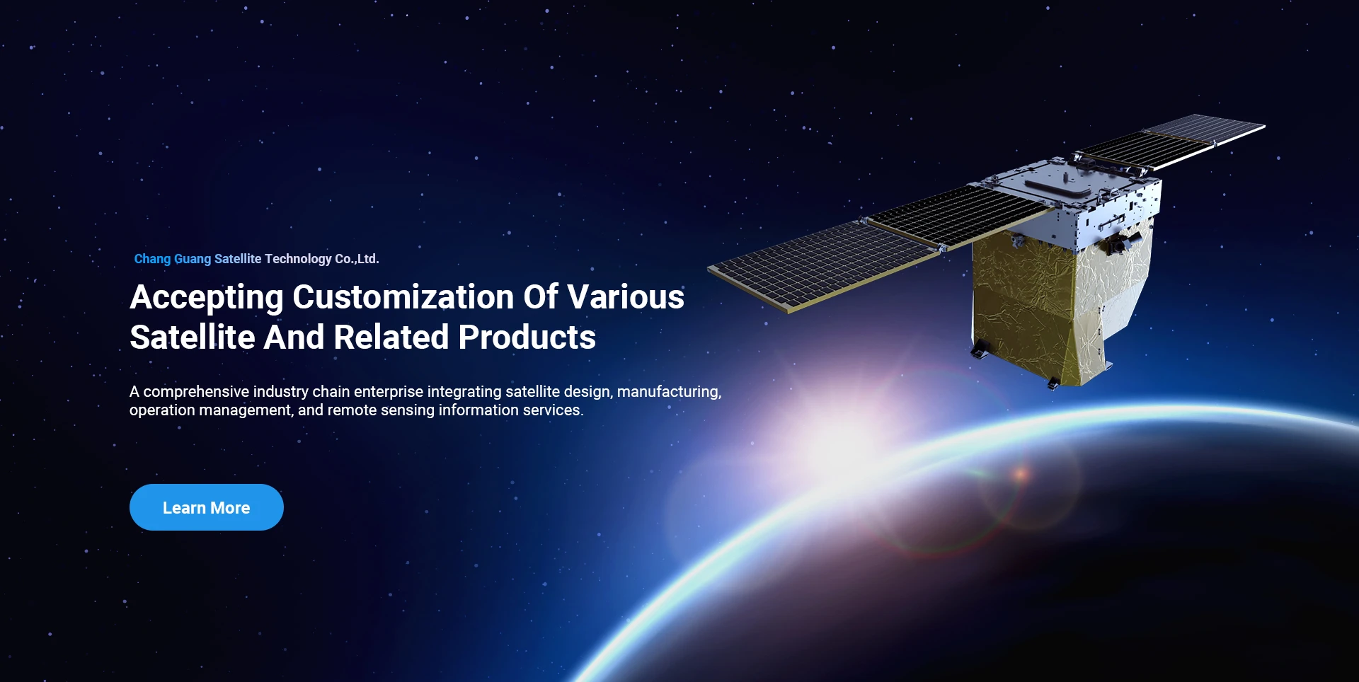
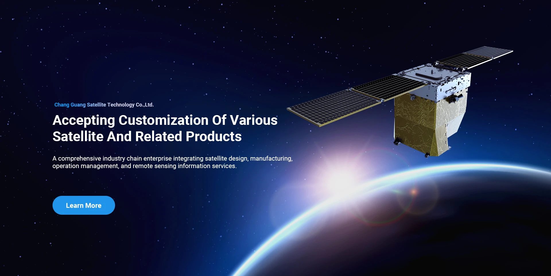
Satellite
high end equipment manufacturing high end equipment manufacturing

Awọn ọkọ oju-aye pese awọn onibara pẹlu awọn iṣẹ iṣelọpọ satẹlaiti ti adani.

Ti o ba nifẹ si awọn ọja wa, o le yan lati fi alaye rẹ silẹ nibi, ati pe a yoo kan si ọ laipẹ.

Eriali

Aṣeyọri awọn iwadii eriali

Ohun elo-ọran-ọran fun awọn ọkọ ofurufu

Satẹlaiti Sensọ Latọna jijin

R&D Ipele

Ni awọn ofin ti satẹlaiti R&D, ni ibamu pẹlu idajọ ti aṣa idagbasoke imọ-ẹrọ satẹlaiti ati ipo idagbasoke iṣowo, ẹgbẹ imọ-ẹrọ mojuto ti ṣẹ nipasẹ ero aṣa aṣa ati gba ọna imọ-ẹrọ ti “Stẹlaiti satẹlaiti ati iṣọpọ fifuye”. Lẹhin igba mẹrin ti ilọsiwaju ni ọdun mẹwa, iwuwo satẹlaiti ti dinku si 20kg lati 400kg ti iran akọkọ.

Remote Sensing Satellite

Opitika Processing Area

Awọn ipo iṣelọpọ

Awọn lapapọ agbegbe ti awọn opitika processing agbegbe ni 10000m2. Agbegbe yii ni agbara lati ṣe iṣelọpọ ibi-pupọ ti awọn paati opiti pipe, ati pe o ni agbara lati ṣe ilana awọn paati opiti ti a ṣe ti awọn ohun elo gilasi ati ohun alumọni carbide, ati bẹbẹ lọ lati isokuso si itanran, bakanna bi wiwa ti o baamu.

Optical Processing Area

Ile-iṣẹ & Ile-iṣẹ

SPACENavi BLOG

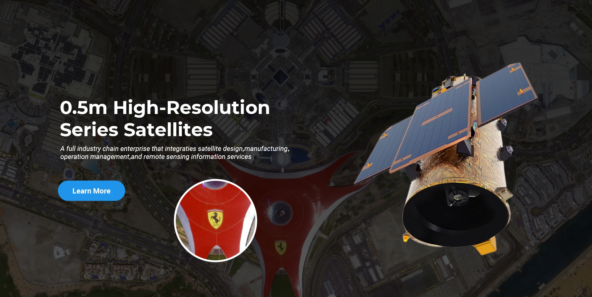
Ni lọwọlọwọ, ile-iṣẹ ti kọ ajọbi satẹlaiti oye isakoṣo latọna jijin ti iṣowo submeter ti o tobi julọ ni agbaye, pẹlu awọn agbara iṣẹ to lagbara.

Jun, 25
20
Exploring the Types of Satellite Internet and Communication Technologies Shaping the Digital Frontier
As the demand for global connectivity continues to grow, satellite-based solutions are rapidly evolving to bridge the digital divide.
Jun, 25
20
Understanding Satellite Bus Structures and Platforms in Remote Sensing Applications
In the rapidly advancing aerospace industry, the satellite platform plays a central role in mission success.
Jun, 25
20
Exploring Satellite Platforms and Communication Networks in Remote Sensing
With the ever-expanding utility of space-based data, the design and selection of satellite platforms in remote sensing have become fundamental to mission planning.
Jun, 25
20
How Multispectral Satellite Imagery is Revolutionizing Data-Driven Decision-Making
In an era defined by rapid environmental change and the need for smarter resource management, multispectral satellite imagery offers a powerful lens through which we can better understand Earth’s surface.
Jun, 25
20
Exploring the Power of Multispectral Satellite Imagery for Smarter Earth Observation
As technology reshapes how we observe and understand the world, multispectral satellite imagery stands at the forefront of advanced data collection and analysis.
Jun, 25
20
Satellite Communication Services and High-Resolution Imaging for the Next Digital Leap
In today’s hyperconnected world, robust satellite communication services and high-resolution imaging systems are playing an increasingly vital role across industries.
Jun, 25
19
Exploring The Benefits Of Multispectral Satellite Imagery For Earth Observation
The use of multispectral satellite technology has significantly enhanced our ability to observe and understand Earth’s surface in remarkable detail.
Jun, 25
19
Unlocking the Power of Multispectral Satellite Technology
In today’s rapidly evolving world, the use of multispectral satellite technology has transformed the way we observe and analyze our planet.

Ti o ba nifẹ si awọn ọja wa, o le yan lati fi alaye rẹ silẹ nibi, ati pe a yoo kan si ọ laipẹ.