ТЕЛ:+86 13943095588
satellite data providerssatellite data providers
China satelliteChina satellite

Свемирски бродови

МИ СМО ПРОФЕСИОНАЛНИ Пружаоци услуга

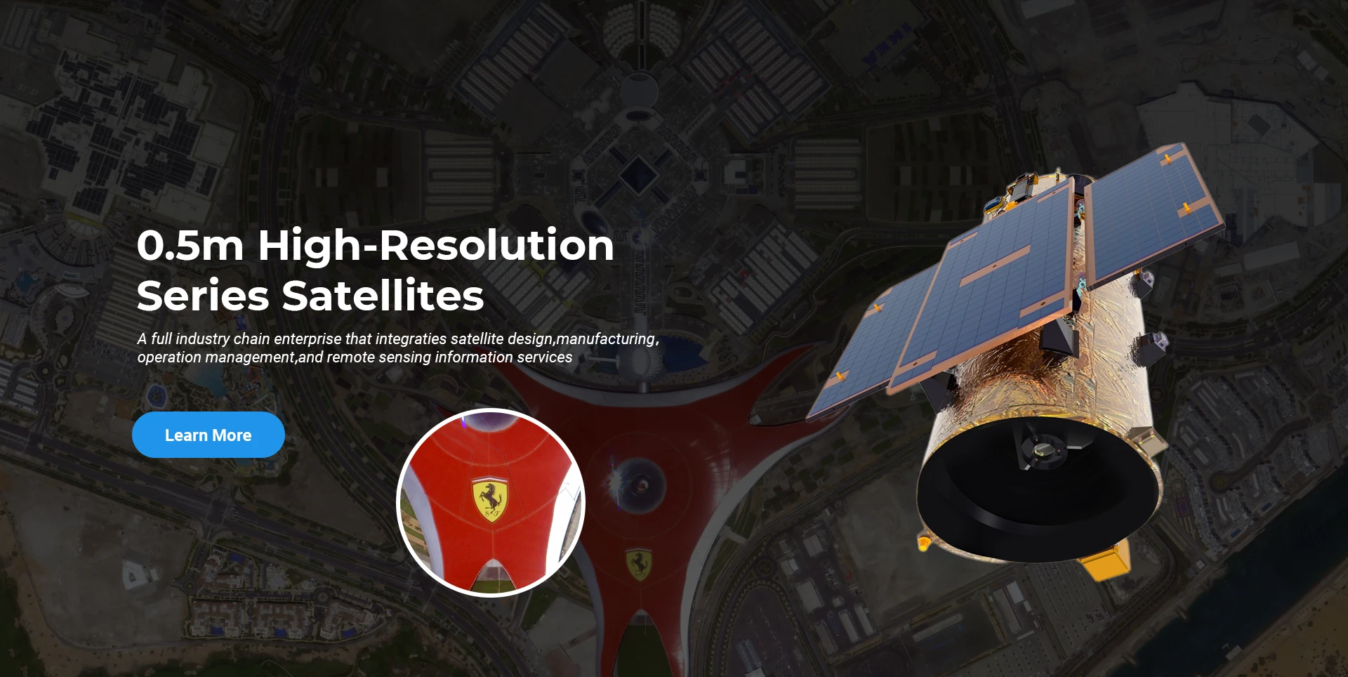
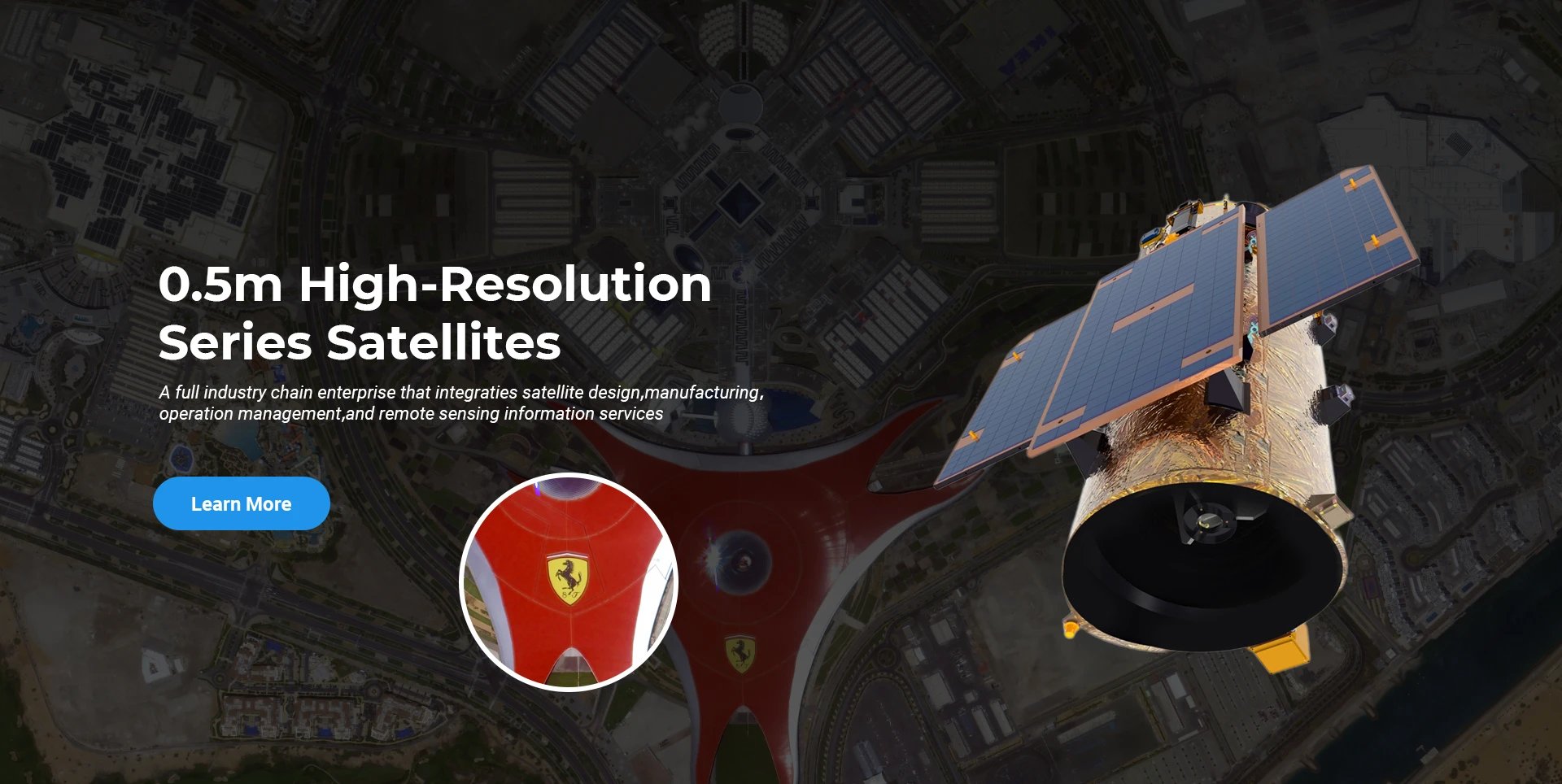
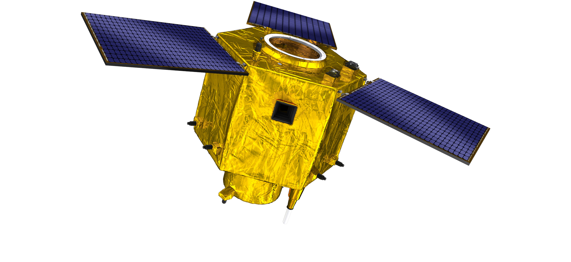
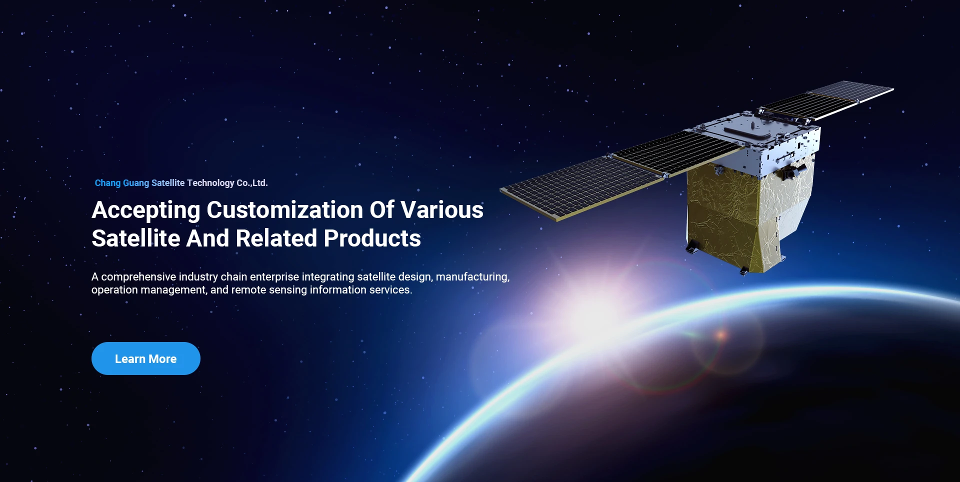
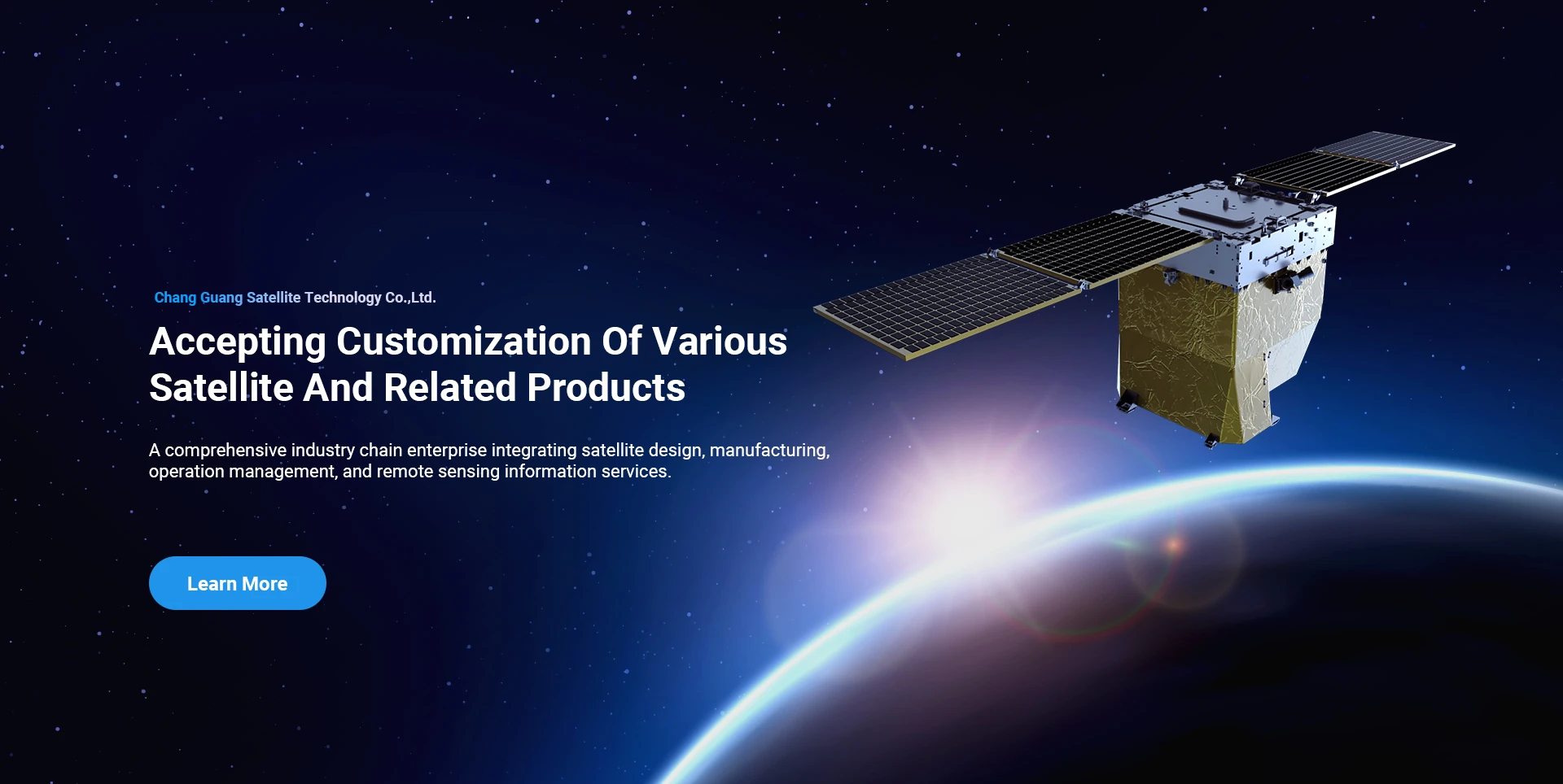
СпацеНави се одувек придржавао пословног модела за интегрисани развој производње врхунске опреме и информационих услуга, фокусирајући се на истраживање и развој сателита високих перформанси и јефтиних сателита и информационих сервиса интегрисаних ваздушно-космос-земља.
Satellite
high end equipment manufacturing high end equipment manufacturing

Свемирски бродови пружа клијенти са прилагођеним услугама производње сателита.

Ако сте заинтересовани за наше производе, можете изабрати да оставите своје податке овде, а ми ћемо вас ускоро контактирати.

АЕРИАЛ

УСПЕШНА ИСТРАЖИВАЊА ИЗ ВАЗДУХА

Апликација за летове од случаја до случаја

Сателит за даљинско детектовање

Ниво истраживања и развоја

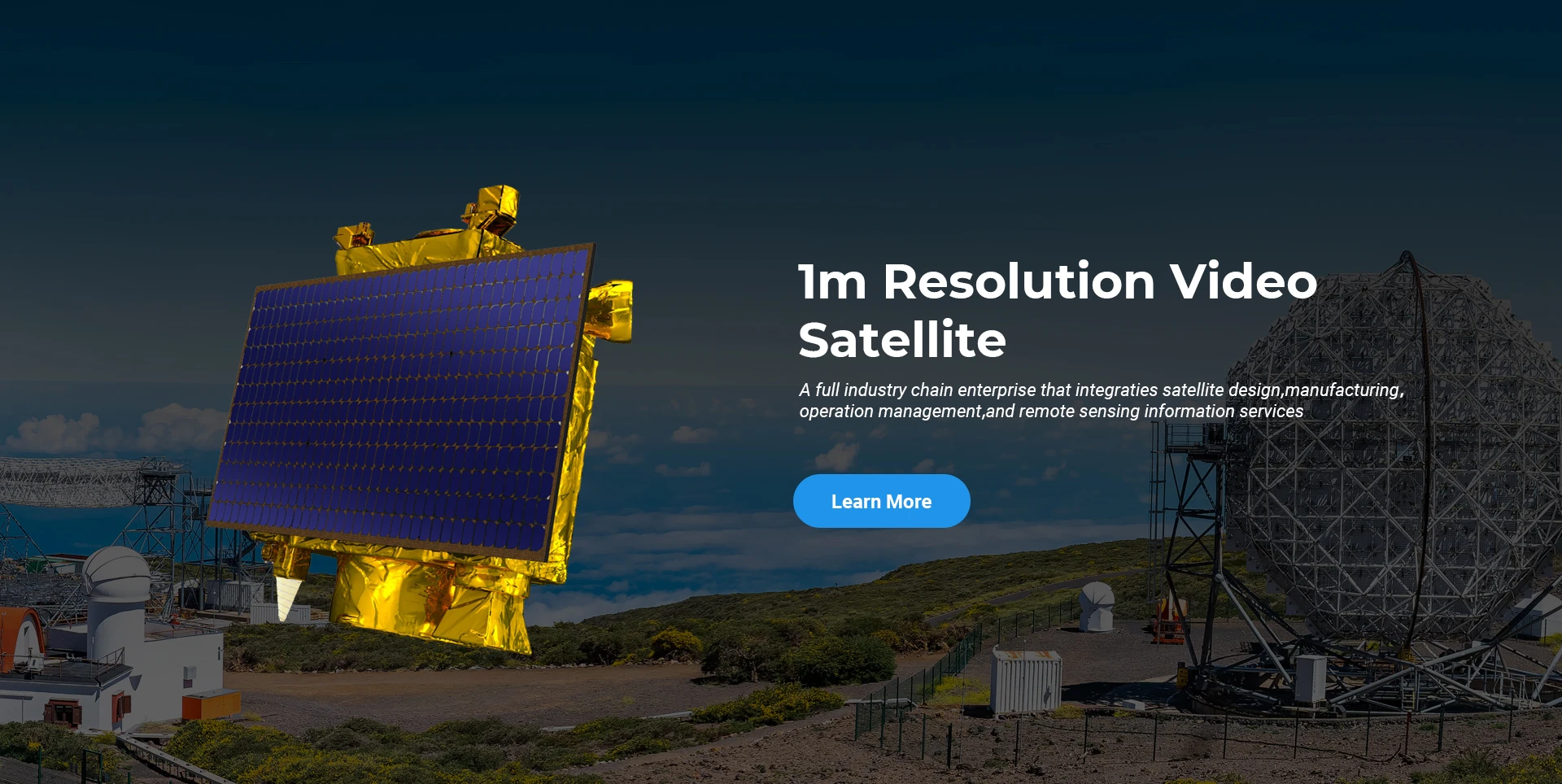
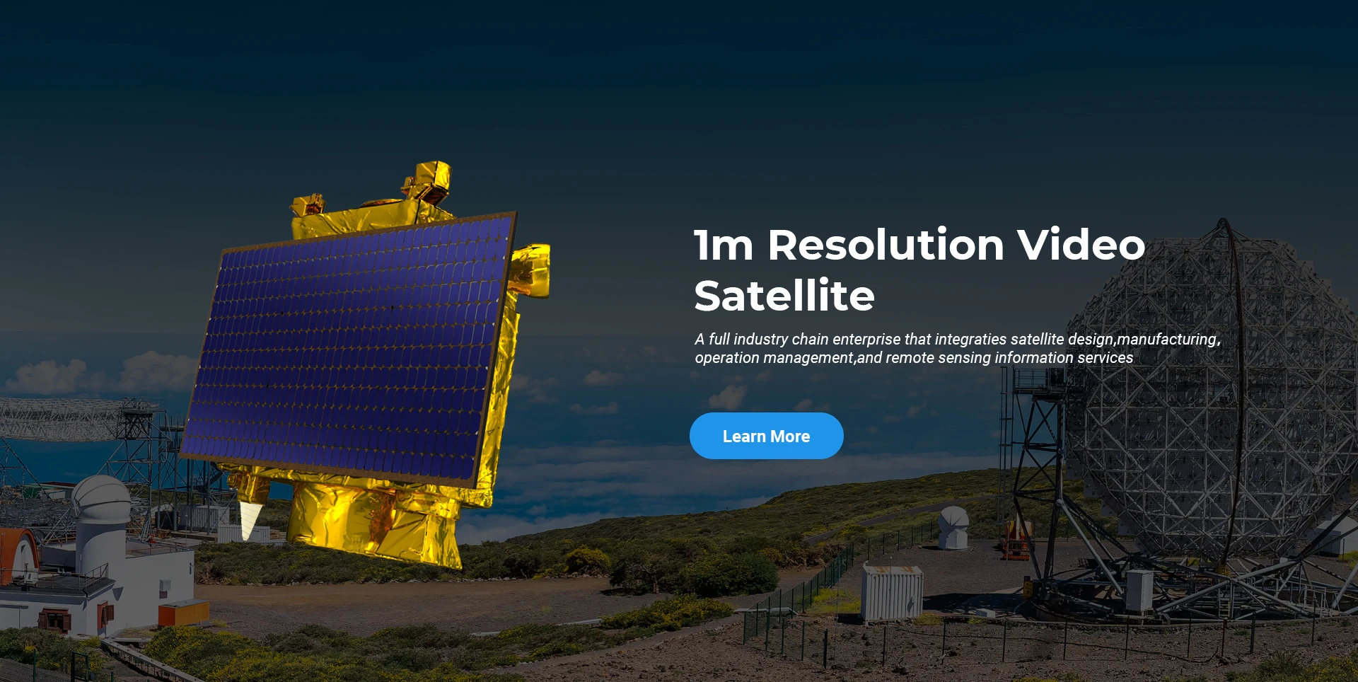
У погледу сателитског истраживања и развоја, у складу са пресудом тренда развоја сателитске технологије и комерцијалног начина развоја, основни технички тим је пробио традиционални концепт дизајна и усвојио техничку руту „интеграције сателитске платформе и оптерећења“. После четири пута напредовања у десет година, тежина сателита је смањена на 20 кг са 400 кг почетне генерације.

Remote Sensing Satellite

Област оптичке обраде

Услови производње

Укупна површина оптичке обраде је 10000м2. Ова област је способна за масовну производњу високо прецизних оптичких компоненти и има могућност обраде оптичких компоненти од стаклокерамике и силицијум карбида итд. од грубих до финих, као и одговарајућу детекцију.

Optical Processing Area

Компанија и индустрија

СПАЦЕНави БЛОГ

Тренутно, компанија је изградила највећу светску субметарску комерцијалну сателитску констелацију са даљинским откривањем, са јаким сервисним могућностима.

Jun, 25
20
Exploring the Types of Satellite Internet and Communication Technologies Shaping the Digital Frontier
As the demand for global connectivity continues to grow, satellite-based solutions are rapidly evolving to bridge the digital divide.
Jun, 25
20
Understanding Satellite Bus Structures and Platforms in Remote Sensing Applications
In the rapidly advancing aerospace industry, the satellite platform plays a central role in mission success.
Jun, 25
20
Exploring Satellite Platforms and Communication Networks in Remote Sensing
With the ever-expanding utility of space-based data, the design and selection of satellite platforms in remote sensing have become fundamental to mission planning.
Jun, 25
20
How Multispectral Satellite Imagery is Revolutionizing Data-Driven Decision-Making
In an era defined by rapid environmental change and the need for smarter resource management, multispectral satellite imagery offers a powerful lens through which we can better understand Earth’s surface.
Jun, 25
20
Exploring the Power of Multispectral Satellite Imagery for Smarter Earth Observation
As technology reshapes how we observe and understand the world, multispectral satellite imagery stands at the forefront of advanced data collection and analysis.
Jun, 25
20
Satellite Communication Services and High-Resolution Imaging for the Next Digital Leap
In today’s hyperconnected world, robust satellite communication services and high-resolution imaging systems are playing an increasingly vital role across industries.
Jun, 25
19
Exploring The Benefits Of Multispectral Satellite Imagery For Earth Observation
The use of multispectral satellite technology has significantly enhanced our ability to observe and understand Earth’s surface in remarkable detail.
Jun, 25
19
Unlocking the Power of Multispectral Satellite Technology
In today’s rapidly evolving world, the use of multispectral satellite technology has transformed the way we observe and analyze our planet.

Ако сте заинтересовани за наше производе, можете изабрати да оставите своје податке овде, а ми ћемо вас ускоро контактирати.