satellite data providerssatellite data providers
China satelliteChina satellite

Vaa va'a

O I MATOU O FAIGA AUAUNAGA FA'ATASI

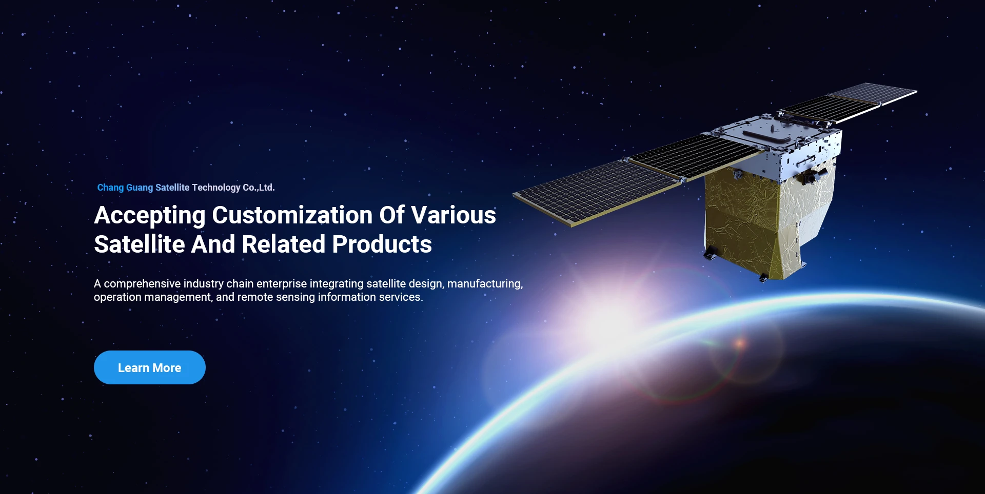
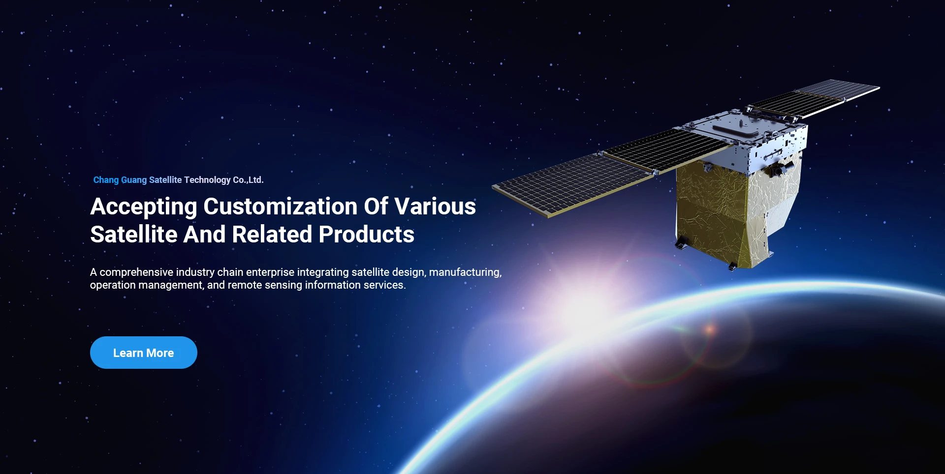
SpaceNavi e masani ona pipii i le pisinisi faʻataʻitaʻiga mo le atinaʻeina tuʻufaʻatasia o le gaosiga o meafaigaluega maualuga ma auaunaga faʻamatalaga, e taulaʻi i le suʻesuʻega ma le atinaʻeina o le maualuga o le faʻatinoga, ma le taugofie o satelite ma le ea-eleele-eleele tuʻufaʻatasia auaunaga faʻamatalaga mamao.
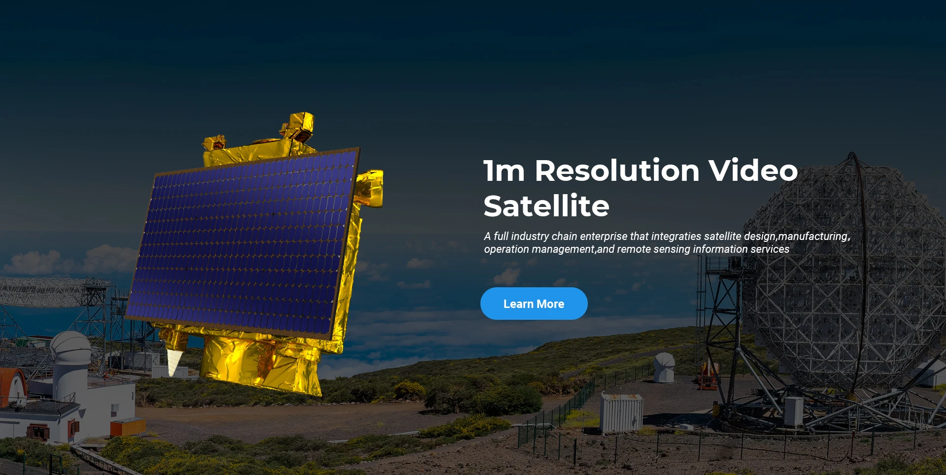
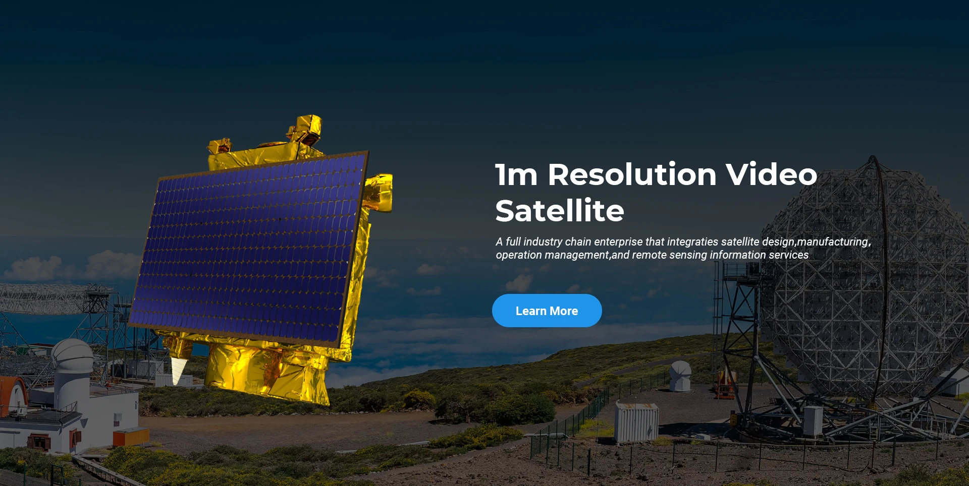
Satellite
high end equipment manufacturing high end equipment manufacturing

Vaa va'a saunia tagata fa'atau fa'atasi ma auaunaga fa'apitoa tau gaosiga o satelite.

Afai e te fiafia i a matou oloa, e mafai ona e filifili e tuʻu lau faʻamatalaga iinei, ma o le a matou fesoʻotaʻi ma oe i se taimi lata mai.

AERIAL

MANUIA SU'ESU'EGA AEIA

Talosaga ma lea mataupu mo va'alele

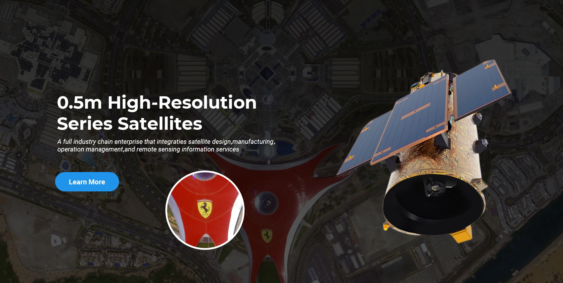
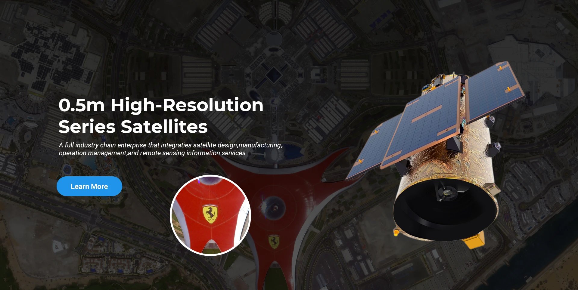
Satelite Lagona Mamao

R&D Level

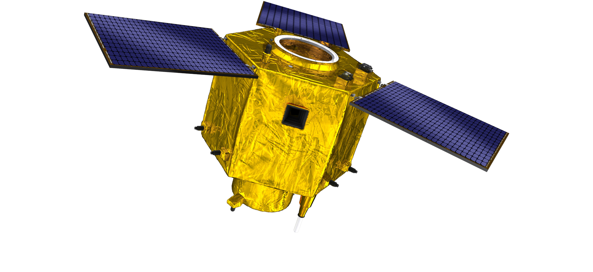
E tusa ai ma le satelite R & D, e tusa ai ma le faʻamasinoga o le atinaʻeina o tekonolosi satelite ma le faʻatautaia o pisinisi, o le vaega faʻapitoa faʻapitoa ua malepe i le manatu faʻaleaganuʻu masani ma faʻaaogaina le auala faʻapitoa o le "satellite platform and load integration". Ina ua mavae le fa taimi o le alualu i luma i le sefulu tausaga, o le mamafa o le satelite ua faaitiitia i le 20kg mai le 400kg o le uluai augatupulaga.

Remote Sensing Satellite

Vaega o Fa'agaioiga Mata

Tulaga o gaosiga

Ole aofa'iga ole vaega ole fa'aogaina o mata ole 10000m2. O lenei vaega e mafai ona faʻatinoina le tele o gaosiga o mea faʻapipiʻi maualuga, ma o loʻo i ai le malosi e faʻaogaina ai vaega faʻapitoa e faia i tioata tioata ma silicon carbide, ma isi mea mai le laʻititi i le lelei, faʻapea foʻi ma le suʻesuʻeina tutusa.

Optical Processing Area

Kamupani & Alamanuia

SPACENavi BLOG

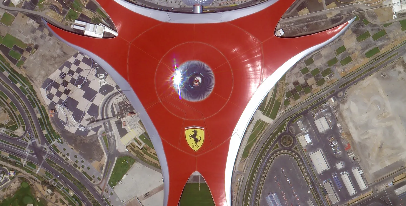
I le taimi nei, o lo'o fausia e le kamupani le fa'aputuga satelite fa'atauva'a mamao fa'atauva'a pito sili ona tele a le lalolagi, fa'atasi ai ma le malosi o le auaunaga.

Jun, 25
20
Exploring the Types of Satellite Internet and Communication Technologies Shaping the Digital Frontier
As the demand for global connectivity continues to grow, satellite-based solutions are rapidly evolving to bridge the digital divide.
Jun, 25
20
Understanding Satellite Bus Structures and Platforms in Remote Sensing Applications
In the rapidly advancing aerospace industry, the satellite platform plays a central role in mission success.
Jun, 25
20
Exploring Satellite Platforms and Communication Networks in Remote Sensing
With the ever-expanding utility of space-based data, the design and selection of satellite platforms in remote sensing have become fundamental to mission planning.
Jun, 25
20
How Multispectral Satellite Imagery is Revolutionizing Data-Driven Decision-Making
In an era defined by rapid environmental change and the need for smarter resource management, multispectral satellite imagery offers a powerful lens through which we can better understand Earth’s surface.
Jun, 25
20
Exploring the Power of Multispectral Satellite Imagery for Smarter Earth Observation
As technology reshapes how we observe and understand the world, multispectral satellite imagery stands at the forefront of advanced data collection and analysis.
Jun, 25
20
Satellite Communication Services and High-Resolution Imaging for the Next Digital Leap
In today’s hyperconnected world, robust satellite communication services and high-resolution imaging systems are playing an increasingly vital role across industries.
Jun, 25
19
Exploring The Benefits Of Multispectral Satellite Imagery For Earth Observation
The use of multispectral satellite technology has significantly enhanced our ability to observe and understand Earth’s surface in remarkable detail.
Jun, 25
19
Unlocking the Power of Multispectral Satellite Technology
In today’s rapidly evolving world, the use of multispectral satellite technology has transformed the way we observe and analyze our planet.

Afai e te fiafia i a matou oloa, e mafai ona e filifili e tuʻu lau faʻamatalaga iinei, ma o le a matou fesoʻotaʻi ma oe i se taimi lata mai.