- Umunyafurika
- Ikinyalubaniya
- Amharic
- Icyarabu
- Ikinyarumeniya
- Azaribayijan
- Basque
- Biyelorusiya
- Ikibengali
- Bosiniya
- Buligariya
- Igikatalani
- Cebuano
- Ubushinwa
- Corsican
- Igikorowasiya
- Ceki
- Danemark
- Ikidage
- Icyongereza
- Esperanto
- Esitoniya
- Igifinilande
- Igifaransa
- Igifaransa
- Abagalatiya
- Jeworujiya
- Ikidage
- Ikigereki
- Gujarati
- Igikerewole
- Hausa
- hawaiian
- Igiheburayo
- Oya
- Miao
- Hongiriya
- Isilande
- igbo
- Indoneziya
- irish
- Umutaliyani
- Ikiyapani
- Javanese
- Kannada
- kazakh
- Khmer
- Rwanda
- Igikoreya
- Kurdish
- Kirigizisitani
- Umurimo
- Ikilatini
- Ikilatini
- Lituwaniya
- Luxembourgish
- Abanyamakedoniya
- Malagasi
- Malayika
- Malayalam
- Maltese
- Maori
- Marathi
- Mongoliya
- Miyanimari
- Nepali
- Noruveje
- Noruveje
- Occitan
- Pashto
- Persian
- Igipolonye
- Igiporutugali
- Punjabi
- Ikinyarumaniya
- Ikirusiya
- Samoan
- Abanya-Gaelic
- Igiseribiya
- Icyongereza
- Shona
- Sindhi
- Sinhala
- Igisilovakiya
- Igisiloveniya
- Somaliya
- Icyesipanyoli
- Sundanese
- Igiswahiri
- Igisuwede
- Tagalog
- Tajik
- Tamil
- Tatar
- Telugu
- Tayilande
- Turukiya
- Abanyaturukiya
- Ukraine
- Urdu
- Uighur
- Uzbek
- Abanya Vietnam
- Welsh
- Ubufasha
- Yiddish
- Yoruba
- Zulu
Revolutionizing Earth Observation with Optical Multispectral Camera Payloads
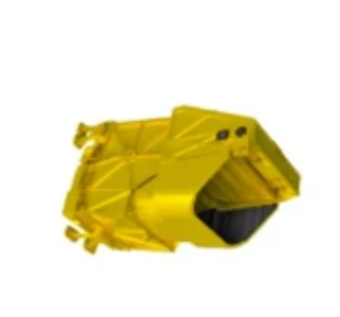
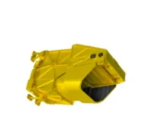
SpaceNavi Co., Ltd. continues to push the boundaries of aerospace innovation by integrating high-performance kamera itandukanye payloads into next-generation satellite platforms. These imaging systems capture a wide range of spectral data, allowing clients across agriculture, climate research, infrastructure, and disaster response sectors to make informed decisions from space.
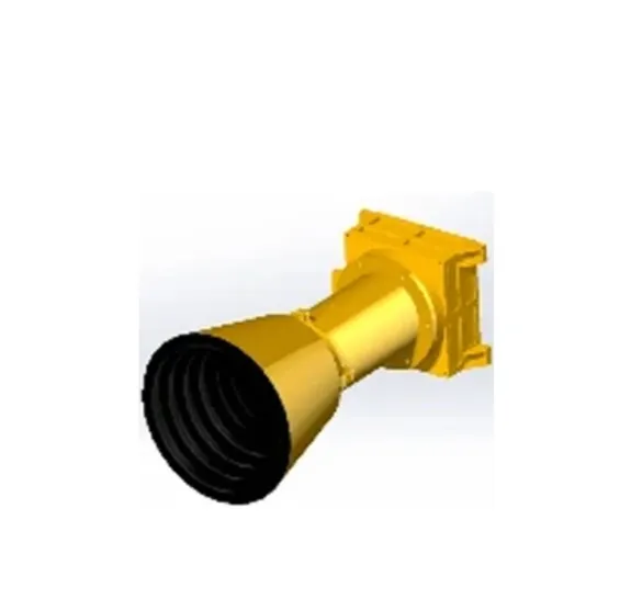
As a pioneer in modular satellite payload integration, SpaceNavi delivers unmatched flexibility for clients looking to deploy multispectral imaging camera technologies quickly, accurately, and affordably.
The Versatility of Multispectral Imaging in Satellite Systems
The multi spectral camera is designed to detect reflectance from Earth’s surface in distinct spectral bands—typically spanning visible to near-infrared wavelengths. This makes it an invaluable tool for precision agriculture, forestry management, urban planning, and even environmental risk assessment.
With a SpaceNavi satellite, this technology becomes even more powerful. Our compact CubeSat and microsatellite buses are optimized to support a variety of payloads, including multispectral visible imaging camera modules and Multispectrum infrared ikomatanya kamera systems. These allow the capture of multi-band datasets that are not visible to the human eye but carry crucial information about surface composition, moisture content, or vegetation health.
Whether for academic institutions or governmental agencies, our high-reliability satellite payloads provide uninterrupted access to Earth data—delivered from orbit via kamera itandukanye sensors mounted on SpaceNavi platforms.
Building Affordable, High-Resolution Payloads
Affordability and innovation are often seen as opposing forces, but SpaceNavi proves otherwise. Our engineering team collaborates with global optics partners to develop low cost multispectral camera modules without sacrificing quality or durability. These sensors are thoroughly tested for launch vibration, temperature fluctuations, and orbital radiation exposure.
Many clients come to us searching for a flexible, scalable way to buy multispectral camera systems for satellite integration. SpaceNavi offers end-to-end support—from camera selection and multispectral lens matching to system calibration and data delivery.
Whether the requirement is for a lightweight payload or a high-performance imaging system with broad spectral range, our platforms support both. Our ability to deploy kamera itandukanye sensors rapidly shortens mission timelines, allowing data delivery within weeks—not months.
Practical Applications Beyond Aerospace
The power of kamera itandukanye payloads is not limited to high-orbit satellite missions. Ground and aerial applications are also gaining popularity. However, when these systems are deployed on SpaceNavi’s satellites, they offer a distinct advantage: global coverage, 24/7 access, and long-term monitoring potential.
For example, government agencies use multispectral imaging camera data to map flood zones, detect deforestation, or evaluate post-earthquake infrastructure damage. Agricultural clients rely on kamera itandukanye imagery to plan irrigation, detect pest activity, or assess crop maturity before harvest.
Furthermore, with SpaceNavi’s platform compatibility, clients can easily integrate new sensors—whether a new Multispectrum infrared ikomatanya kamera or an upgrade to a current multispectral visible imaging camera—as missions evolve.
As the multispectral camera price becomes more competitive due to global innovation, SpaceNavi continues to lead the way in cost-performance optimization.
With growing demand for spectral analysis and Earth observation data, the role of the kamera itandukanye in aerospace continues to expand. SpaceNavi provides a trusted, scalable pathway to orbit for these sensors, pairing them with reliable satellite platforms and responsive ground support systems.
From sensor selection to launch integration and data analytics, SpaceNavi ensures every multispectral imaging camera performs at peak efficiency—helping industries and governments see more, understand deeper, and respond faster to Earth’s ever-changing dynamics.


