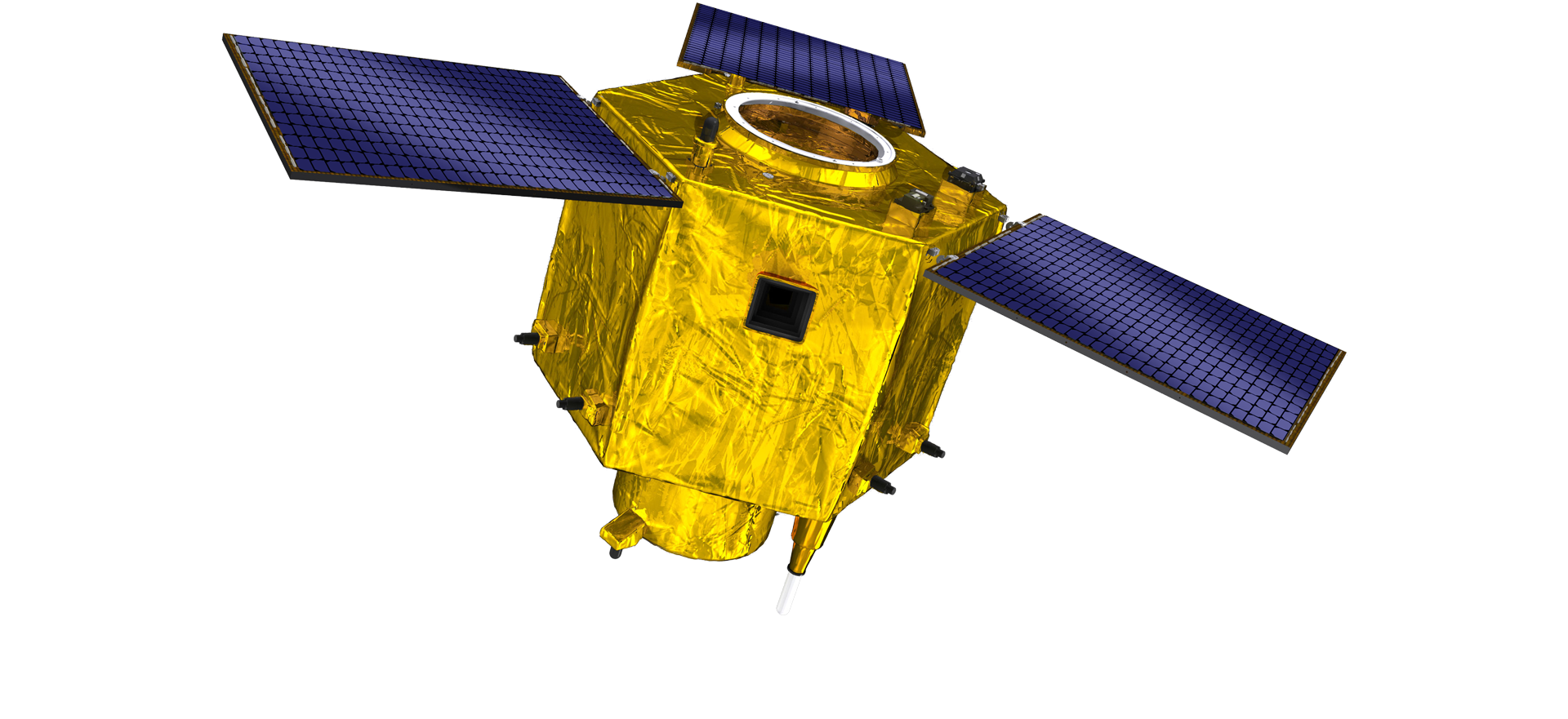
satellite data providerssatellite data providers
China satelliteChina satellite

Statki kosmiczne

JESTEŚMY PROFESJONALNYMI DOSTAWCAMI USŁUG

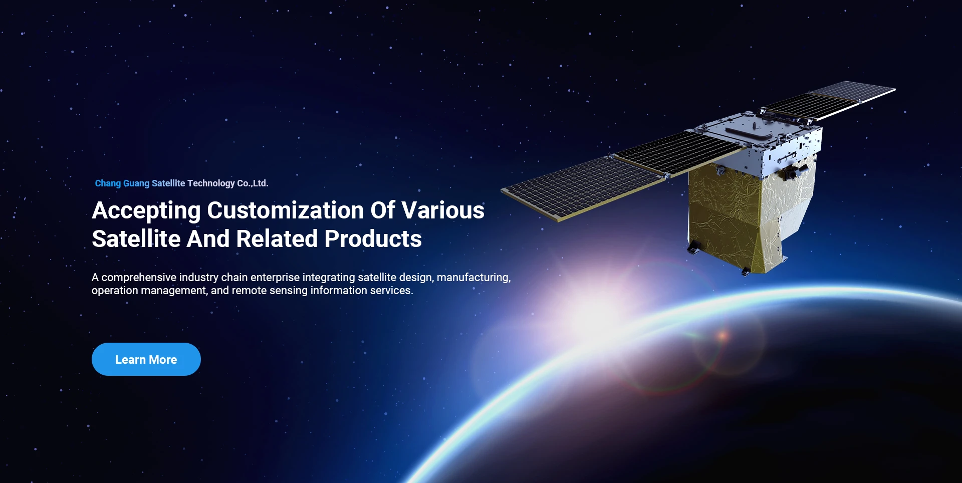
Firma SpaceNavi zawsze kierowała się modelem biznesowym zakładającym zintegrowany rozwój produkcji wysokiej klasy sprzętu i usług informatycznych, koncentrując się na badaniach i rozwoju wydajnych i niedrogich satelitów oraz zintegrowanych usług informatycznych z zakresu teledetekcji powietrze-przestrzeń-ziemia.
Satellite
high end equipment manufacturing high end equipment manufacturing

Statki kosmiczne zapewnia klientom dostosowane do ich potrzeb usługi produkcji satelitów.

Jeśli interesują Cię nasze produkty, możesz zostawić tutaj swoje dane, a wkrótce się z Tobą skontaktujemy.

ANTENOWY

UDANE BADANIA LOTNICZE

Indywidualne wnioski dotyczące lotów

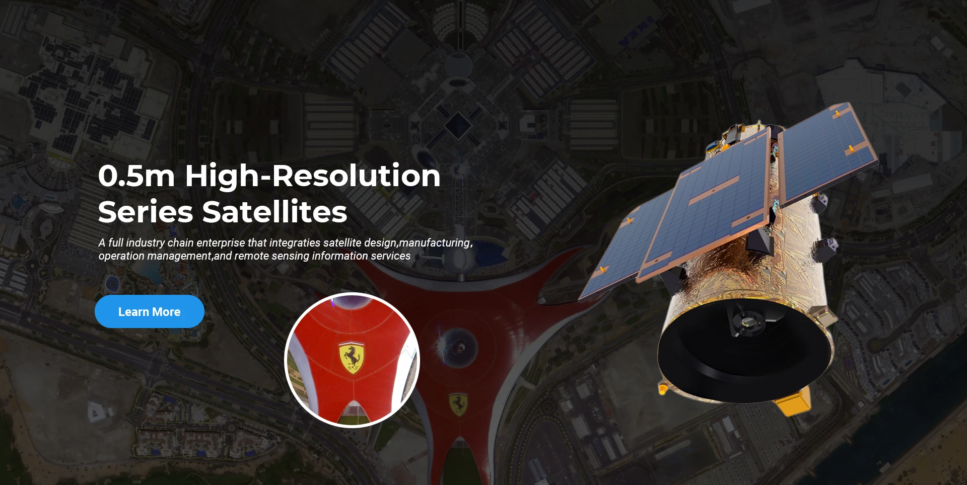
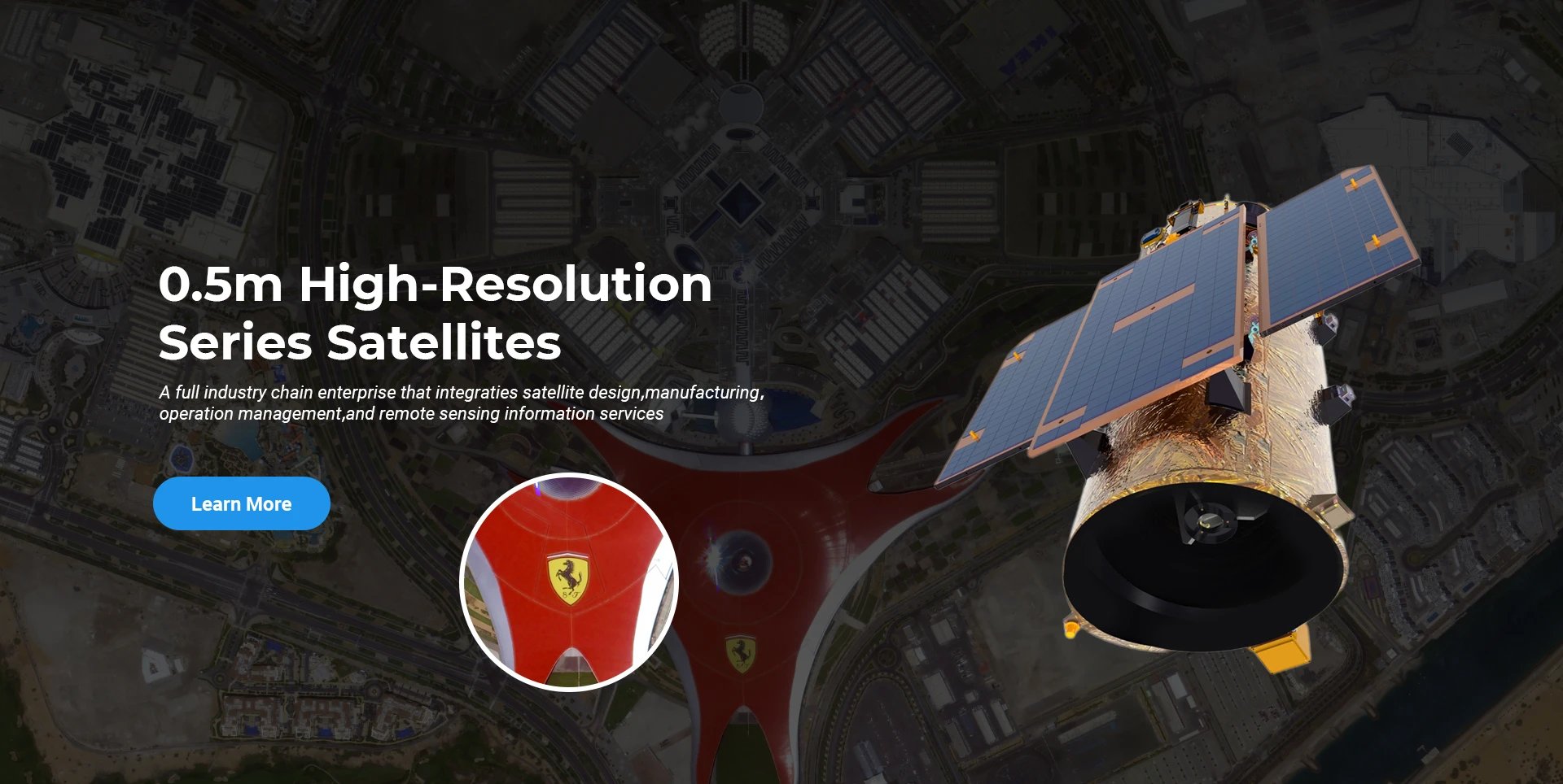
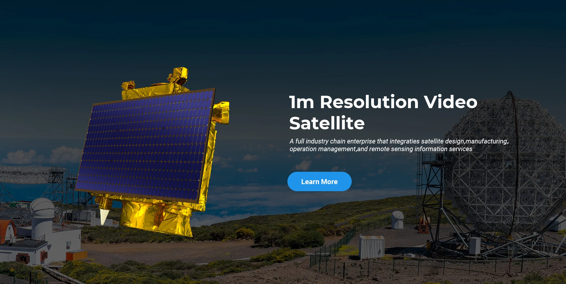
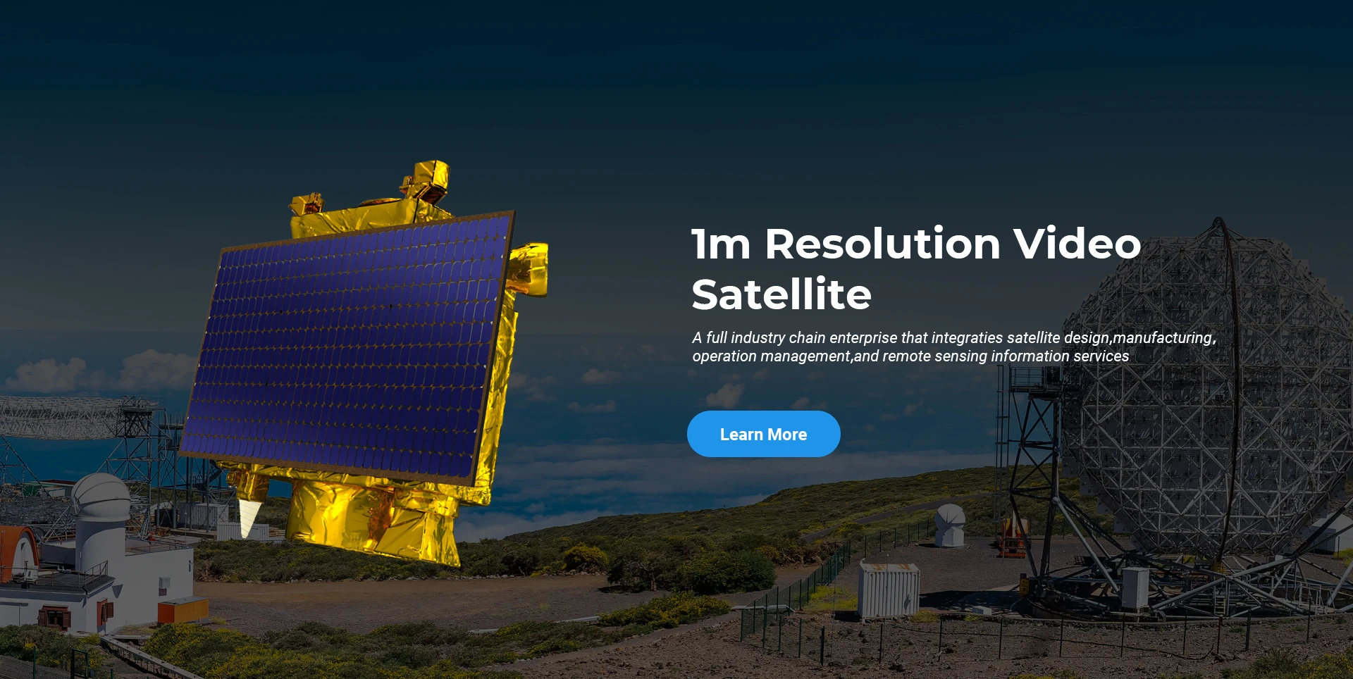
Satelita do teledetekcji

Poziom badawczo-rozwojowy

W zakresie badań i rozwoju satelitów, zgodnie z osądem trendu rozwoju technologii satelitarnych i trybem rozwoju komercyjnego, główny zespół techniczny przełamał tradycyjną koncepcję projektowania i przyjął techniczną drogę „integracji platformy satelitarnej i obciążenia”. Po czterokrotnym postępie w ciągu dziesięciu lat, waga satelity została zmniejszona do 20 kg z 400 kg początkowej generacji.

Remote Sensing Satellite

Obszar przetwarzania optycznego

Warunki produkcji

Całkowita powierzchnia obszaru przetwarzania optycznego wynosi 10000 m2. Obszar ten jest w stanie podjąć masową produkcję wysoce precyzyjnych komponentów optycznych i ma zdolność do przetwarzania komponentów optycznych wykonanych z ceramiki szklanej i węglika krzemu itp. od grubych do drobnych, a także odpowiedniej detekcji.

Optical Processing Area

Firma i branża

BLOG SPACENAvi

Obecnie firma zbudowała największą na świecie konstelację komercyjnych satelitów teledetekcyjnych o wielkości mniejszej niż metr, z dużym potencjałem świadczenia usług.

Jun, 25
20
Exploring the Types of Satellite Internet and Communication Technologies Shaping the Digital Frontier
As the demand for global connectivity continues to grow, satellite-based solutions are rapidly evolving to bridge the digital divide.
Jun, 25
20
Understanding Satellite Bus Structures and Platforms in Remote Sensing Applications
In the rapidly advancing aerospace industry, the satellite platform plays a central role in mission success.
Jun, 25
20
Exploring Satellite Platforms and Communication Networks in Remote Sensing
With the ever-expanding utility of space-based data, the design and selection of satellite platforms in remote sensing have become fundamental to mission planning.
Jun, 25
20
How Multispectral Satellite Imagery is Revolutionizing Data-Driven Decision-Making
In an era defined by rapid environmental change and the need for smarter resource management, multispectral satellite imagery offers a powerful lens through which we can better understand Earth’s surface.
Jun, 25
20
Exploring the Power of Multispectral Satellite Imagery for Smarter Earth Observation
As technology reshapes how we observe and understand the world, multispectral satellite imagery stands at the forefront of advanced data collection and analysis.
Jun, 25
20
Satellite Communication Services and High-Resolution Imaging for the Next Digital Leap
In today’s hyperconnected world, robust satellite communication services and high-resolution imaging systems are playing an increasingly vital role across industries.
Jun, 25
19
Exploring The Benefits Of Multispectral Satellite Imagery For Earth Observation
The use of multispectral satellite technology has significantly enhanced our ability to observe and understand Earth’s surface in remarkable detail.
Jun, 25
19
Unlocking the Power of Multispectral Satellite Technology
In today’s rapidly evolving world, the use of multispectral satellite technology has transformed the way we observe and analyze our planet.

Jeśli interesują Cię nasze produkty, możesz zostawić tutaj swoje dane, a wkrótce się z Tobą skontaktujemy.