ਟੈਲੀਫ਼ੋਨ:+86 13943095588
satellite data providerssatellite data providers
China satelliteChina satellite

ਪੁਲਾੜ ਜਹਾਜ਼

ਅਸੀਂ ਪੇਸ਼ੇਵਰ ਸੇਵਾ ਪ੍ਰਦਾਤਾ ਹਾਂ

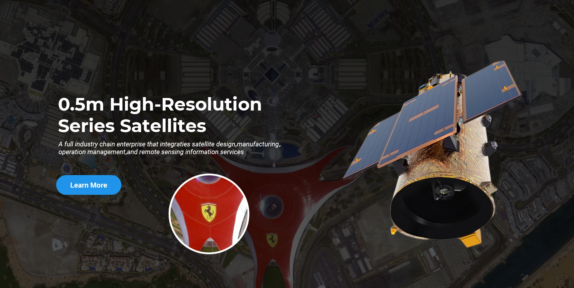
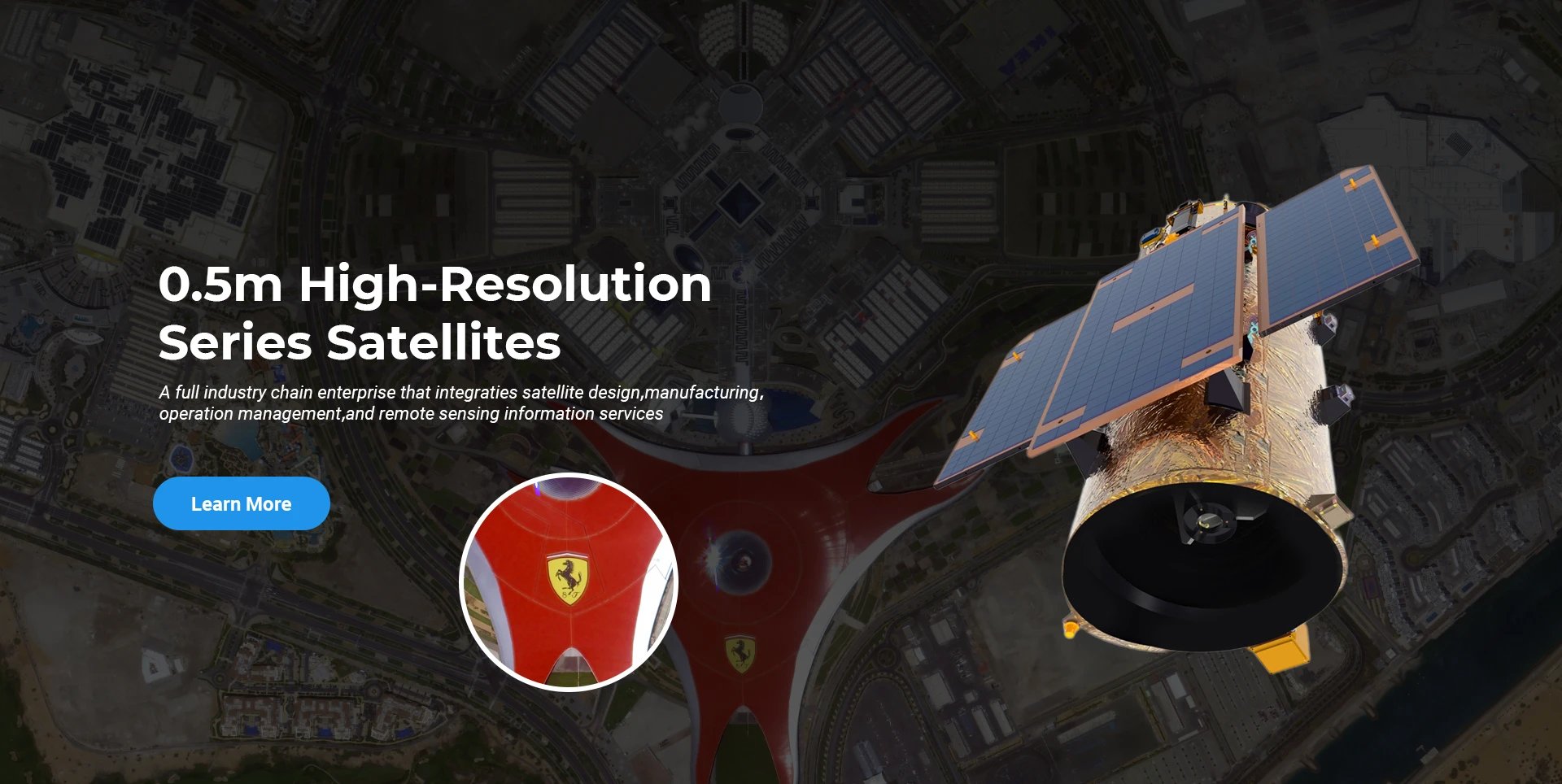
ਸਪੇਸਨੇਵੀ ਨੇ ਹਮੇਸ਼ਾ ਉੱਚ-ਪ੍ਰਦਰਸ਼ਨ ਵਾਲੇ, ਘੱਟ-ਲਾਗਤ ਵਾਲੇ ਉਪਗ੍ਰਹਿਆਂ ਅਤੇ ਏਅਰ-ਸਪੇਸ-ਗਰਾਊਂਡ ਏਕੀਕ੍ਰਿਤ ਰਿਮੋਟ ਸੈਂਸਿੰਗ ਸੂਚਨਾ ਸੇਵਾਵਾਂ ਦੀ ਖੋਜ ਅਤੇ ਵਿਕਾਸ 'ਤੇ ਧਿਆਨ ਕੇਂਦਰਿਤ ਕਰਦੇ ਹੋਏ, ਉੱਚ-ਅੰਤ ਦੇ ਉਪਕਰਣ ਨਿਰਮਾਣ ਅਤੇ ਸੂਚਨਾ ਸੇਵਾਵਾਂ ਦੇ ਏਕੀਕ੍ਰਿਤ ਵਿਕਾਸ ਲਈ ਵਪਾਰਕ ਮਾਡਲ ਦੀ ਪਾਲਣਾ ਕੀਤੀ ਹੈ।
Satellite
high end equipment manufacturing high end equipment manufacturing

ਪੁਲਾੜ ਜਹਾਜ਼ ਪ੍ਰਦਾਨ ਕਰਦਾ ਹੈ ਅਨੁਕੂਲਿਤ ਸੈਟੇਲਾਈਟ ਨਿਰਮਾਣ ਸੇਵਾਵਾਂ ਵਾਲੇ ਗਾਹਕ।

ਜੇਕਰ ਤੁਸੀਂ ਸਾਡੇ ਉਤਪਾਦਾਂ ਵਿੱਚ ਦਿਲਚਸਪੀ ਰੱਖਦੇ ਹੋ, ਤਾਂ ਤੁਸੀਂ ਆਪਣੀ ਜਾਣਕਾਰੀ ਇੱਥੇ ਛੱਡ ਸਕਦੇ ਹੋ, ਅਤੇ ਅਸੀਂ ਜਲਦੀ ਹੀ ਤੁਹਾਡੇ ਨਾਲ ਸੰਪਰਕ ਕਰਾਂਗੇ।

ਏਰੀਅਲ

ਸਫਲ ਹਵਾਈ ਸਰਵੇਖਣ

ਉਡਾਣਾਂ ਲਈ ਕੇਸ-ਦਰ-ਕੇਸ ਅਰਜ਼ੀ

ਰਿਮੋਟ ਸੈਂਸਿੰਗ ਸੈਟੇਲਾਈਟ

ਖੋਜ ਅਤੇ ਵਿਕਾਸ ਪੱਧਰ

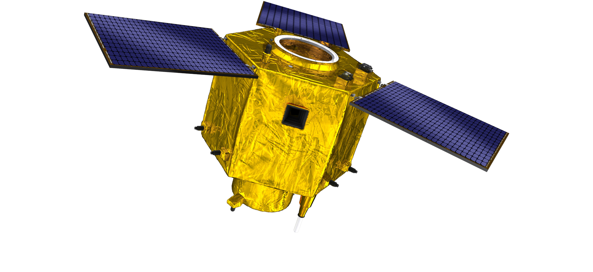
ਸੈਟੇਲਾਈਟ ਖੋਜ ਅਤੇ ਵਿਕਾਸ ਦੇ ਮਾਮਲੇ ਵਿੱਚ, ਸੈਟੇਲਾਈਟ ਤਕਨਾਲੋਜੀ ਵਿਕਾਸ ਰੁਝਾਨ ਅਤੇ ਵਪਾਰਕ ਵਿਕਾਸ ਮੋਡ ਦੇ ਨਿਰਣੇ ਦੇ ਅਨੁਸਾਰ, ਮੁੱਖ ਤਕਨੀਕੀ ਟੀਮ ਨੇ ਰਵਾਇਤੀ ਡਿਜ਼ਾਈਨ ਸੰਕਲਪ ਨੂੰ ਤੋੜ ਦਿੱਤਾ ਹੈ ਅਤੇ "ਸੈਟੇਲਾਈਟ ਪਲੇਟਫਾਰਮ ਅਤੇ ਲੋਡ ਏਕੀਕਰਨ" ਦੇ ਤਕਨੀਕੀ ਰਸਤੇ ਨੂੰ ਅਪਣਾਇਆ ਹੈ। ਦਸ ਸਾਲਾਂ ਵਿੱਚ ਚਾਰ ਗੁਣਾ ਤਰੱਕੀ ਤੋਂ ਬਾਅਦ, ਸੈਟੇਲਾਈਟ ਦਾ ਭਾਰ ਸ਼ੁਰੂਆਤੀ ਪੀੜ੍ਹੀ ਦੇ 400 ਕਿਲੋਗ੍ਰਾਮ ਤੋਂ ਘਟਾ ਕੇ 20 ਕਿਲੋਗ੍ਰਾਮ ਕਰ ਦਿੱਤਾ ਗਿਆ ਹੈ।

Remote Sensing Satellite

ਆਪਟੀਕਲ ਪ੍ਰੋਸੈਸਿੰਗ ਖੇਤਰ

ਉਤਪਾਦਨ ਦੀਆਂ ਸਥਿਤੀਆਂ

ਆਪਟੀਕਲ ਪ੍ਰੋਸੈਸਿੰਗ ਖੇਤਰ ਦਾ ਕੁੱਲ ਖੇਤਰਫਲ 10000m2 ਹੈ। ਇਹ ਖੇਤਰ ਉੱਚ-ਸ਼ੁੱਧਤਾ ਵਾਲੇ ਆਪਟੀਕਲ ਹਿੱਸਿਆਂ ਦਾ ਵੱਡੇ ਪੱਧਰ 'ਤੇ ਉਤਪਾਦਨ ਕਰਨ ਦੇ ਸਮਰੱਥ ਹੈ, ਅਤੇ ਇਸ ਵਿੱਚ ਕੱਚ ਦੇ ਵਸਰਾਵਿਕਸ ਅਤੇ ਸਿਲੀਕਾਨ ਕਾਰਬਾਈਡ ਆਦਿ ਤੋਂ ਬਣੇ ਆਪਟੀਕਲ ਹਿੱਸਿਆਂ ਨੂੰ ਮੋਟੇ ਤੋਂ ਬਰੀਕ ਤੱਕ ਪ੍ਰੋਸੈਸ ਕਰਨ ਦੀ ਸਮਰੱਥਾ ਹੈ, ਨਾਲ ਹੀ ਸੰਬੰਧਿਤ ਖੋਜ ਵੀ ਹੈ।

Optical Processing Area

ਕੰਪਨੀ ਅਤੇ ਉਦਯੋਗ

SPACENavi ਬਲੌਗ

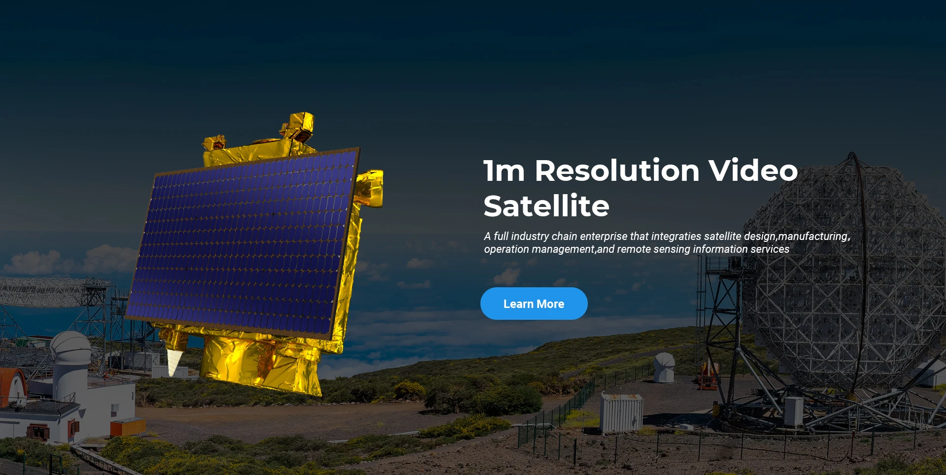
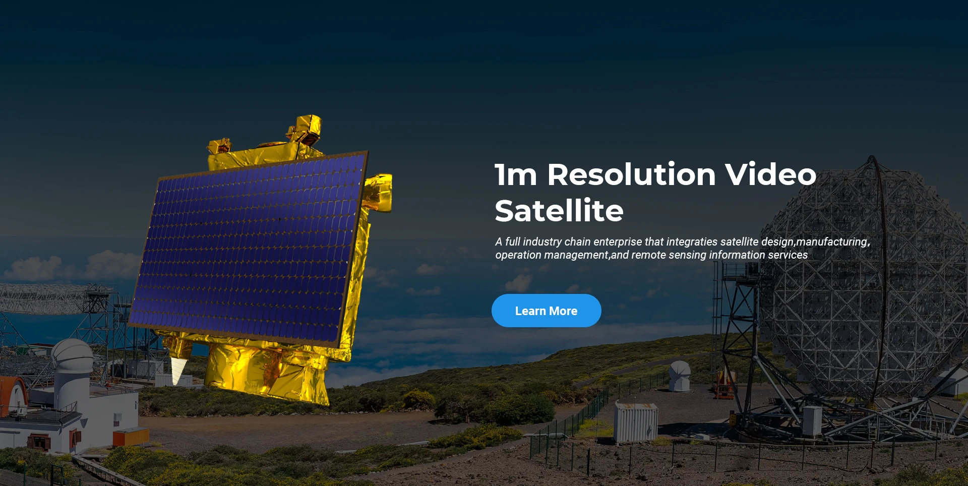
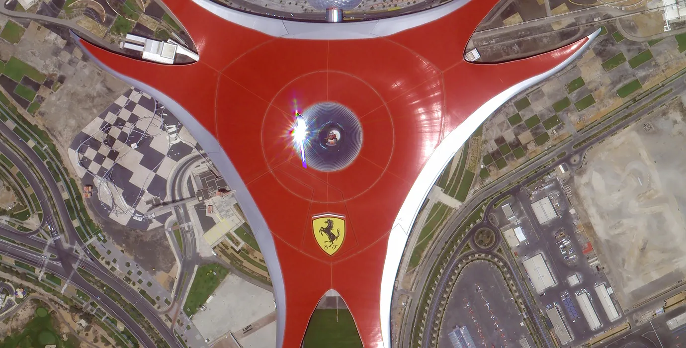
ਇਸ ਵੇਲੇ, ਕੰਪਨੀ ਨੇ ਦੁਨੀਆ ਦਾ ਸਭ ਤੋਂ ਵੱਡਾ ਸਬਮੀਟਰ ਵਪਾਰਕ ਰਿਮੋਟ ਸੈਂਸਿੰਗ ਸੈਟੇਲਾਈਟ ਤਾਰਾਮੰਡਲ ਬਣਾਇਆ ਹੈ, ਜਿਸ ਵਿੱਚ ਮਜ਼ਬੂਤ ​​ਸੇਵਾ ਸਮਰੱਥਾਵਾਂ ਹਨ।

Jun, 25
24
Advancing Earth Observation Through Cutting-Edge Satellite Platforms in Remote Sensing
The evolution of space technology has transformed how humanity observes and interacts with our planet.
Jun, 25
24
Revolutionizing Earth Observation with Satellite Platforms in Remote Sensing
In the rapidly evolving field of space technology, the satellite platform has become the foundation of modern Earth observation and remote sensing missions.
Jun, 25
24
Innovative Satellite Platforms Driving the Future of Remote Sensing
The landscape of space technology is rapidly transforming thanks to the evolution of the satellite platform.
Jun, 25
24
Optimizing Space Missions with Advanced Satellite SFS Solutions
The rapid expansion of space exploration and satellite deployment demands cutting-edge software technologies, making satellite SFS (Satellite Flight Software) an essential element for mission success.
Jun, 25
24
Satellite SFS: Driving Next-Generation Autonomous Space Missions
The advancement of space technology heavily relies on sophisticated software systems, and satellite SFS (Satellite Flight Software) stands at the heart of modern satellite operations.
Jun, 25
24
Exploring The Capabilities Of Satellite SFS For Advanced Space Applications
In the rapidly evolving field of satellite technology, the satellite SFS (Satellite Flight Software) plays a pivotal role in ensuring mission success.
Jun, 25
23
Unlocking Earth’s Secrets With Multispectral Satellite Imagery
In today’s era of data-driven decision-making, multispectral satellite imagery has become one of the most valuable tools for understanding and managing our planet.
Jun, 25
23
Harnessing The Power Of Multispectral Satellite Imagery For Sustainable Development
In the quest for sustainable development, multispectral satellite imagery has emerged as an indispensable tool.

ਜੇਕਰ ਤੁਸੀਂ ਸਾਡੇ ਉਤਪਾਦਾਂ ਵਿੱਚ ਦਿਲਚਸਪੀ ਰੱਖਦੇ ਹੋ, ਤਾਂ ਤੁਸੀਂ ਆਪਣੀ ਜਾਣਕਾਰੀ ਇੱਥੇ ਛੱਡ ਸਕਦੇ ਹੋ, ਅਤੇ ਅਸੀਂ ਜਲਦੀ ਹੀ ਤੁਹਾਡੇ ਨਾਲ ਸੰਪਰਕ ਕਰਾਂਗੇ।