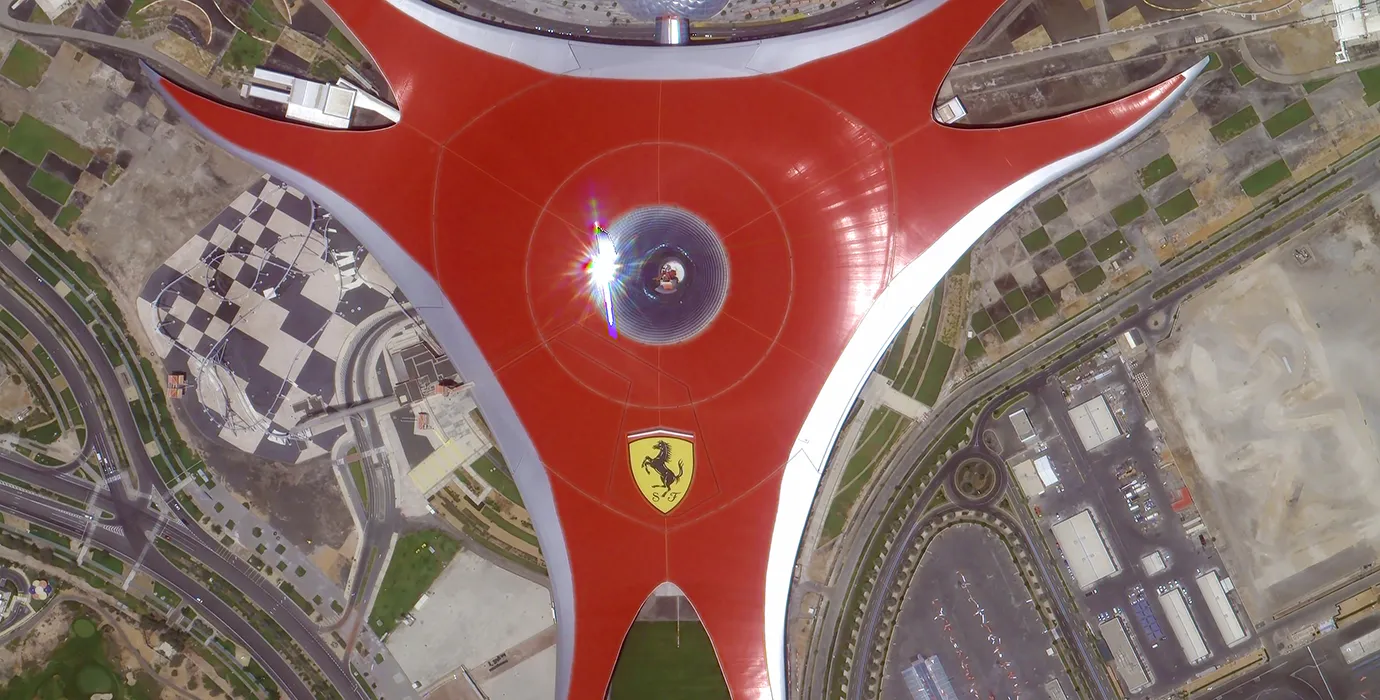
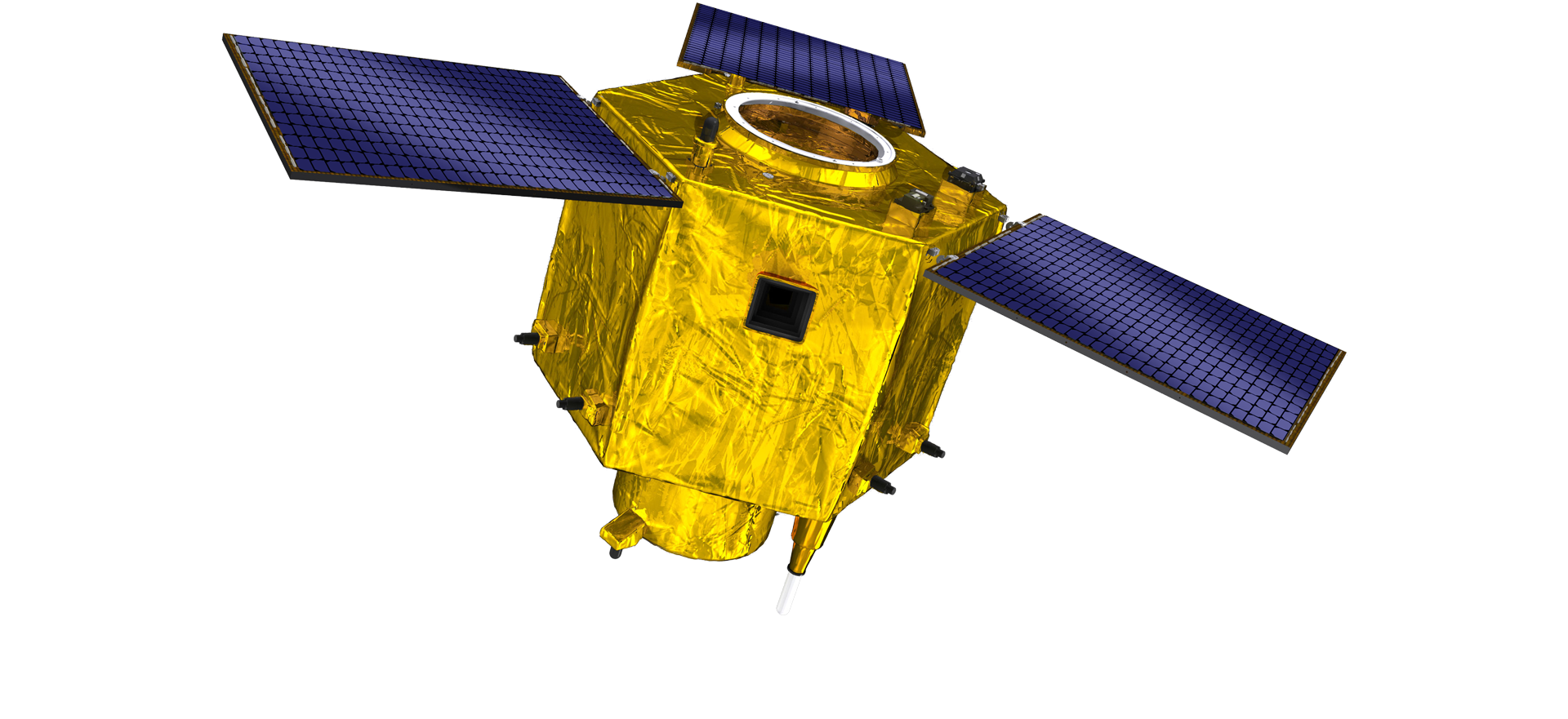
satellite data providerssatellite data providers
China satelliteChina satellite

Ruimteschepen

WIJ ZIJN PROFESSIONELE DIENSTVERLENERS

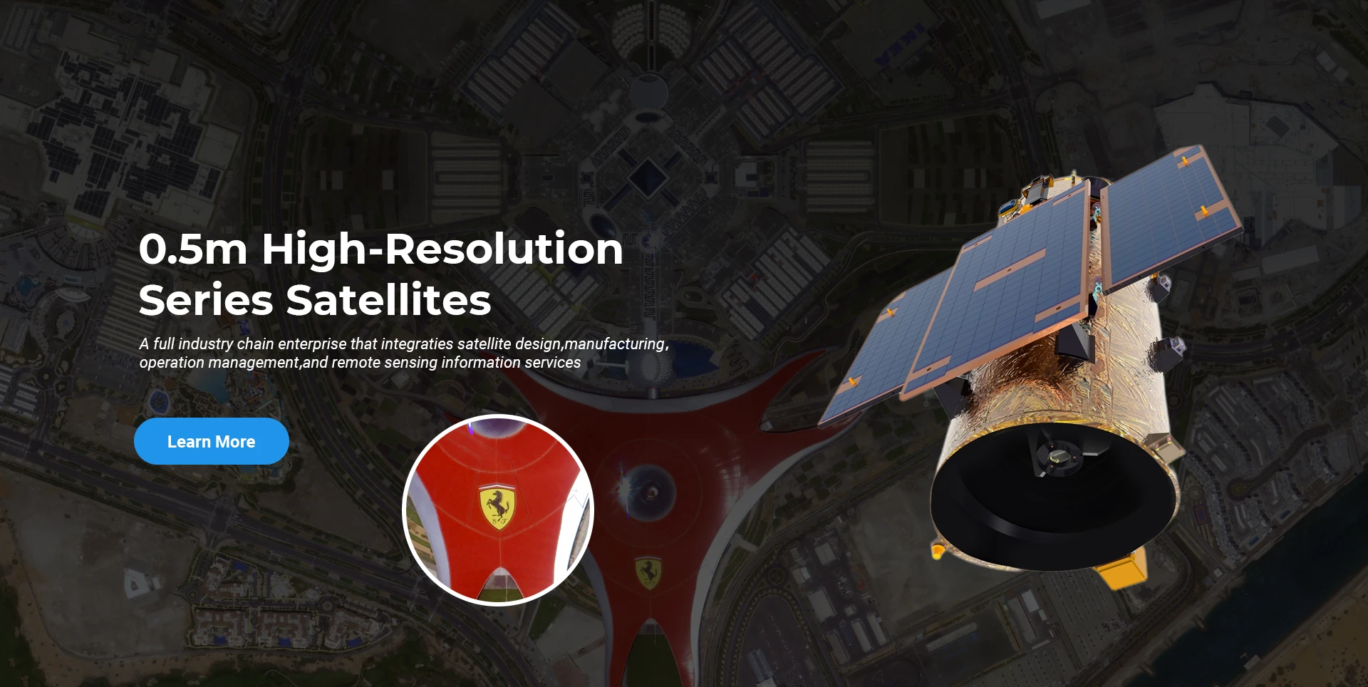
SpaceNavi heeft zich altijd gehouden aan het bedrijfsmodel voor de geïntegreerde ontwikkeling van hoogwaardige apparatuurproductie en informatiediensten, waarbij de nadruk ligt op onderzoek en ontwikkeling van hoogwaardige en goedkope satellieten en geïntegreerde lucht-ruimte-grond-informatiediensten.
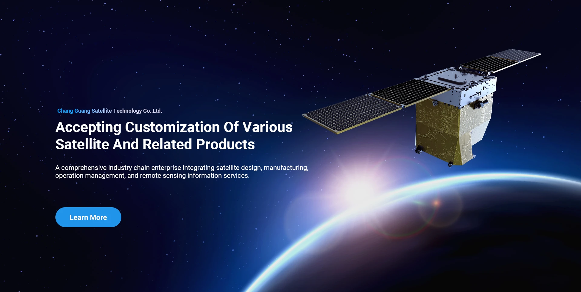
Satellite
high end equipment manufacturing high end equipment manufacturing

Ruimteschepen biedt klanten met op maat gemaakte satellietproductiediensten.

Als u geïnteresseerd bent in onze producten, kunt u hier uw gegevens achterlaten. Wij nemen dan zo spoedig mogelijk contact met u op.

ANTENNE

SUCCESVOLLE LUCHTONDERZOEKEN

Toepassing per geval voor vluchten

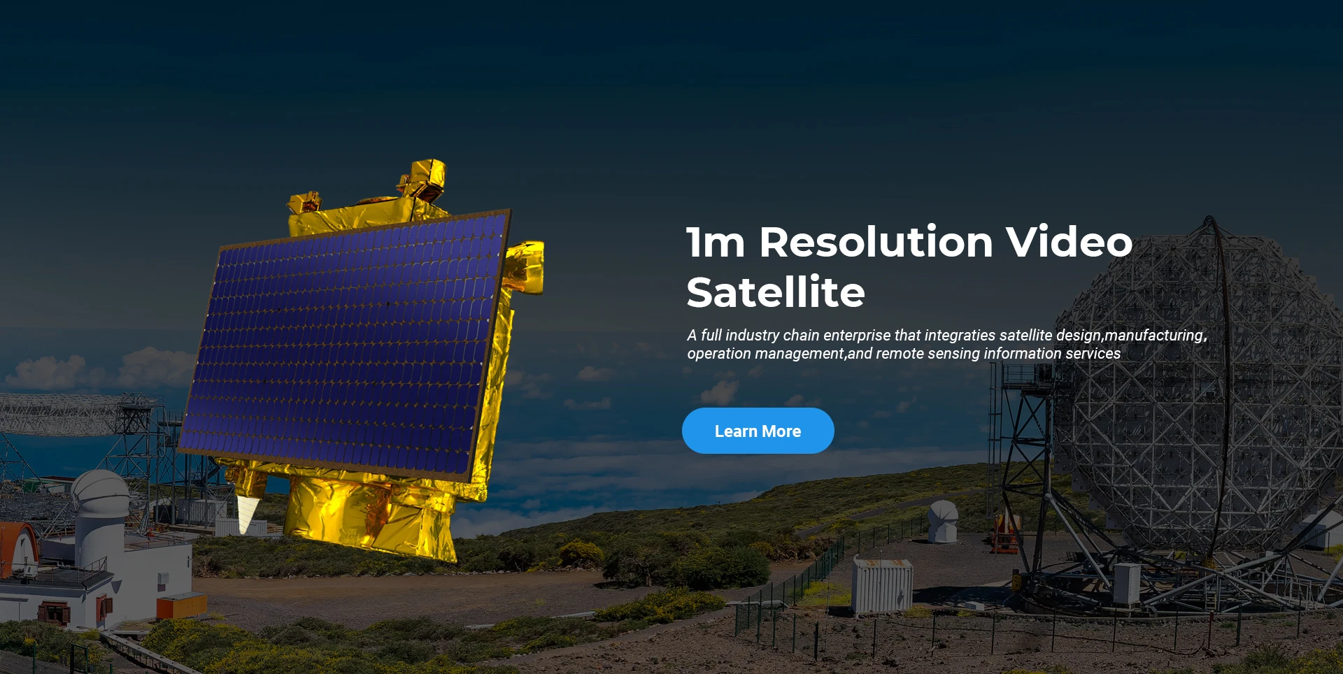
Satelliet voor afstandswaarneming

R&D-niveau

Wat betreft satelliet R&D, in overeenstemming met het oordeel van de satelliettechnologie ontwikkelingstrend en commerciële ontwikkelingsmodus, heeft het technische kernteam het traditionele ontwerpconcept doorbroken en de technische route van "satellietplatform en belastingintegratie" aangenomen. Na vier keer vooruitgang in tien jaar, is het gewicht van de satelliet teruggebracht van 400 kg van de eerste generatie naar 20 kg.

Remote Sensing Satellite

Optisch verwerkingsgebied

Productieomstandigheden

Het totale oppervlak van het optische verwerkingsgebied is 10000m2. Dit gebied is in staat om de massaproductie van optische componenten met hoge precisie uit te voeren en heeft de mogelijkheid om optische componenten van glaskeramiek en siliciumcarbide, enz. van grof tot fijn te verwerken, evenals de bijbehorende detectie.

Optical Processing Area

Bedrijf&Industrie

RUIMTE ENAVI BLOG

Momenteel beschikt het bedrijf over de grootste commerciële remote sensing-satellietconstellatie ter wereld, met uitgebreide servicemogelijkheden.

Jun, 25
25
Enhancing Modern Security Systems with High Resolution Cameras
In today’s rapidly evolving world, maintaining safety across public spaces, private facilities, and critical infrastructure has never been more crucial.
Jun, 25
25
Advancing Space Observation with High Resolution Cameras
Space-based technologies have revolutionized the way we observe Earth, monitor environmental changes, and explore the universe.
Jun, 25
25
Elevating Remote Sensing and Research with High Resolution Cameras
In the fields of environmental monitoring, aerospace, and scientific discovery, seeing more means knowing more.
Jun, 25
25
Driving Industrial Innovation with High Resolution Cameras
In the age of Industry 4.0, the integration of vision-based technologies into automated production lines is reshaping the way industries ensure quality and efficiency.
Jun, 25
24
Advancing Earth Observation Through Cutting-Edge Satellite Platforms in Remote Sensing
The evolution of space technology has transformed how humanity observes and interacts with our planet.
Jun, 25
24
Revolutionizing Earth Observation with Satellite Platforms in Remote Sensing
In the rapidly evolving field of space technology, the satellite platform has become the foundation of modern Earth observation and remote sensing missions.
Jun, 25
24
Innovative Satellite Platforms Driving the Future of Remote Sensing
The landscape of space technology is rapidly transforming thanks to the evolution of the satellite platform.
Jun, 25
24
Optimizing Space Missions with Advanced Satellite SFS Solutions
The rapid expansion of space exploration and satellite deployment demands cutting-edge software technologies, making satellite SFS (Satellite Flight Software) an essential element for mission success.

Als u geïnteresseerd bent in onze producten, kunt u hier uw gegevens achterlaten. Wij nemen dan zo spoedig mogelijk contact met u op.