- अफ्रिकी
- अल्बेनियाली
- अम्हारिक
- अरबी
- अर्मेनियाली
- अजरबैजानी
- बास्क
- बेलारूसी
- बंगाली
- बोस्नियाली
- बुल्गेरियन
- क्याटालान
- सेबुआनो
- चीन
- कोर्सिकन
- क्रोएसियाली
- चेक
- डेनिस
- डच
- अंग्रेजी
- एस्पेरान्तो
- इस्टोनियाली
- फिनिस
- फ्रान्सेली
- फ्रिसियन
- ग्यालिसियन
- जर्जियाली
- जर्मन
- ग्रीक
- गुजराती
- हाइटियन क्रियोल
- हौसा
- हवाईयन
- हिब्रू
- होइन
- मियाओ
- हंगेरी
- आइसल्याण्डिक
- इग्बो
- इन्डोनेसियाली
- आइरिस
- इटालियन
- जापानी
- जाभानीज
- कन्नड
- काजाख
- खमेर
- रुवान्डा
- कोरियाली
- कुर्दिश
- किर्गिज
- श्रम
- ल्याटिन
- लाटभियन
- लिथुआनियाली
- लक्जमबर्गिश
- म्यासेडोनियन
- मालागासी
- मलाय
- मलयालम
- माल्टीज
- माओरी
- मराठी
- मङ्गोलियन
- म्यानमार
- नेपाली
- नर्वेजियन
- नर्वेजियन
- ओसीटान
- पश्तो
- फारसी
- पोलिश
- पोर्चुगिज
- पञ्जाबी
- रोमानियाली
- रुसी
- सामोअन
- स्कटिश गेलिक
- सर्बियाली
- अंग्रेजी
- शोना
- सिन्धी
- सिंहला
- स्लोभाक
- स्लोभेनियाली
- सोमाली
- स्पेनी
- सुडानी
- स्वाहिली
- स्विडेनी
- तागालोग
- ताजिक
- तमिल
- टाटर
- तेलुगु
- थाई
- टर्की
- तुर्कमेनिस्तान
- युक्रेनी
- उर्दू
- उइघुर
- उज्बेक
- भियतनामी
- वेल्श
- मद्दत
- यिद्दिस
- योरुबा
- जुलु
How Multispectral Satellite Imagery is Revolutionizing Data-Driven Decision-Making
In an era defined by rapid environmental change and the need for smarter resource management, multispectral satellite imagery offers a powerful lens through which we can better understand Earth’s surface. Whether applied in agriculture, mining, forestry, or climate monitoring, multi spectral satellite imagery enables users to extract actionable insights that are invisible to standard imaging tools.
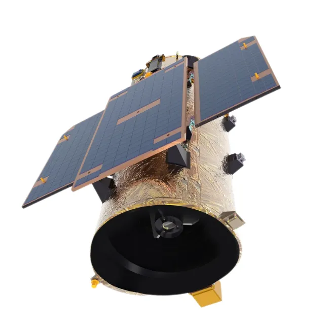
This technology, long employed by scientists and government agencies, is now becoming increasingly available to businesses, researchers, and policymakers worldwide.
What Makes Multispectral Satellite Data Unique?
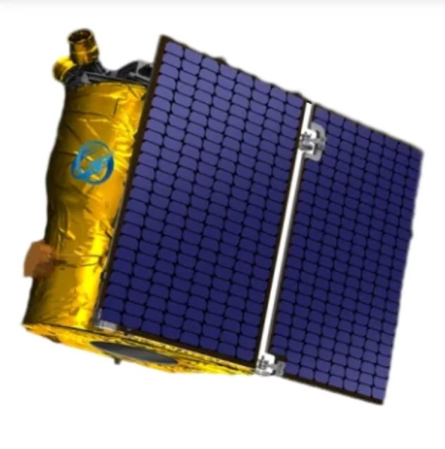
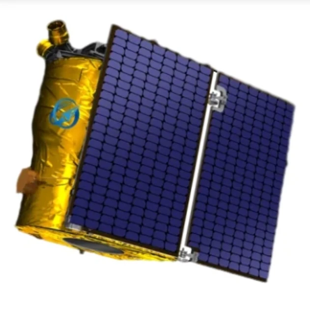
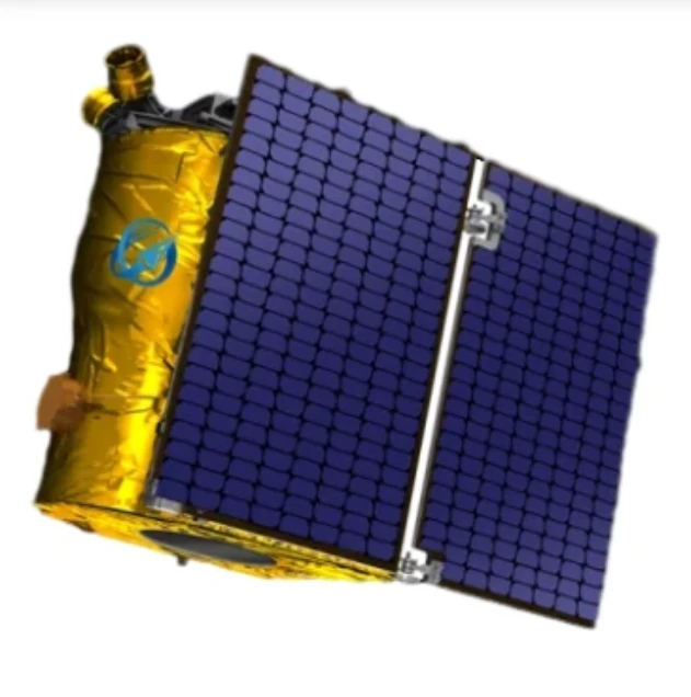
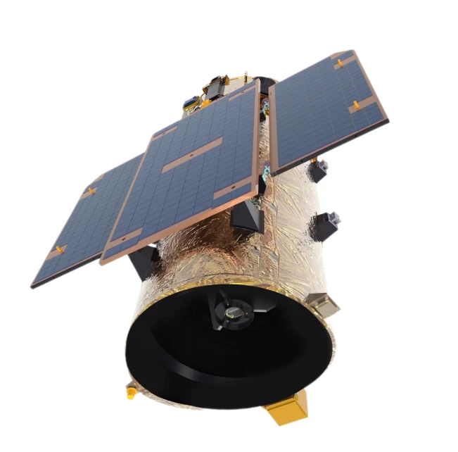
Unlike conventional satellites that capture images in three basic bands (red, green, and blue), a multispectral satellite collects data across multiple specific spectral bands, including visible, near-infrared (NIR), and shortwave infrared (SWIR). Each spectral band reveals different properties of the surface, such as vegetation health, soil moisture, mineral content, or heat reflection.
By combining these spectral signatures, multispectral satellite imagery can produce highly detailed maps of the Earth's surface, allowing users to interpret patterns, detect anomalies, and make informed predictions.
Industrial and Environmental Applications
One of the strongest advantages of multi spectral satellite imagery is its cross-industry versatility:
Agriculture: Farmers can use multispectral data to monitor crop stress, evaluate nutrient deficiencies, and improve precision irrigation.
Forestry: Forest managers rely on multispectral satellite data to detect pest infestations, illegal logging, or wildfire risk zones.
Urban Planning: Municipalities use multispectral images to analyze land usage, green space distribution, and urban heat islands.
Environmental Monitoring: Organizations can track changes in water bodies, observe glacier movement, or monitor deforestation with high accuracy.
The depth of insight offered by multispectral satellite imagery improves response times, reduces operational costs, and supports sustainability goals.
Accessibility and Data Integration
The modern shift toward cloud computing and open data has made multispectral satellite imagery more accessible than ever before. Many commercial platforms now offer satellite data-as-a-service (DaaS), enabling users to purchase or subscribe to imagery from a variety of satellites.
Moreover, multispectral satellite data integrates smoothly with Geographic Information Systems (GIS), remote sensing software, and AI-based analytical tools, turning raw pixels into valuable intelligence.
From spatial resolution to revisit frequency, users can now select a multi spectral satellite imagery solution tailored to their specific project goals, geographic area, and budget.
Driving Innovation with Multispectral Technology
The rise of small satellites and CubeSats has significantly reduced the cost and size of launching multispectral satellite payloads. As a result, new entrants and startup constellations are contributing to faster refresh rates and localized coverage.
Additionally, artificial intelligence and machine learning are being used to analyze multi spectral satellite imagery in near real-time, enabling use cases like:
Early warning systems for droughts or floods
Real-time crop yield predictions
Illegal activity detection in remote areas
Infrastructure monitoring and maintenance planning
The Path Ahead
With the growing importance of climate intelligence, food security, and smart infrastructure, the relevance of multispectral satellite imagery will only increase. Organizations that embrace this technology early will have a significant advantage in understanding complex systems and predicting future outcomes.
From global environmental trends to localized site analysis, multispectral satellite technology delivers the clarity needed to act with confidence.
Final Thoughts
The value of multi spectral satellite imagery lies in its ability to turn invisible data into visible decisions. With continued advancements in imaging resolution, data processing, and satellite accessibility, the impact of multispectral satellite systems is poised to touch nearly every industry.
Whether you're mapping forests, managing farmland, or designing the cities of the future, multispectral satellite imagery offers the precision and scope to do more with less—and see what others can't.


