टेलिफोन:+८६ १३९४३०९५५८८
satellite data providerssatellite data providers
China satelliteChina satellite

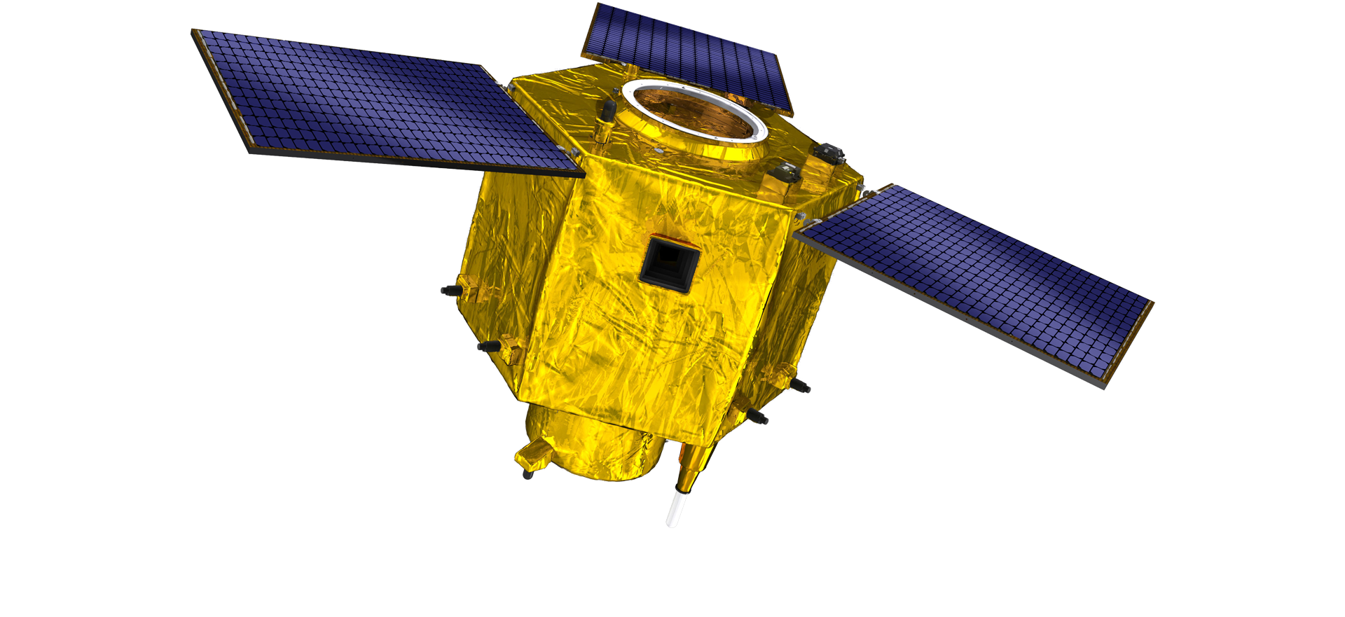
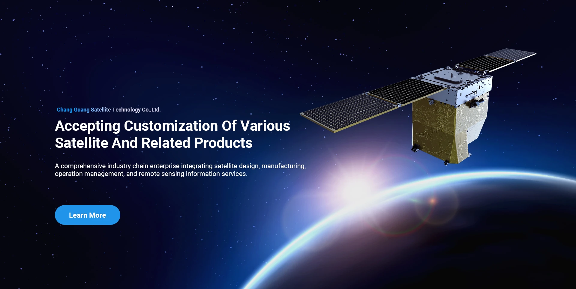
अन्तरिक्षयानहरू

हामी व्यावसायिक सेवा प्रदायक हौं।

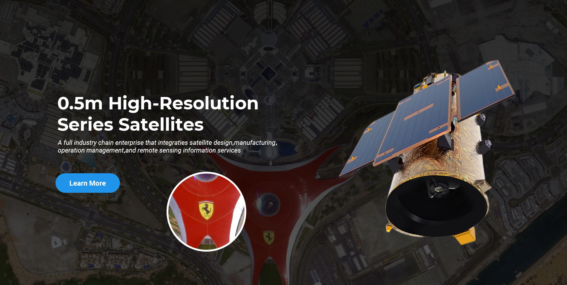
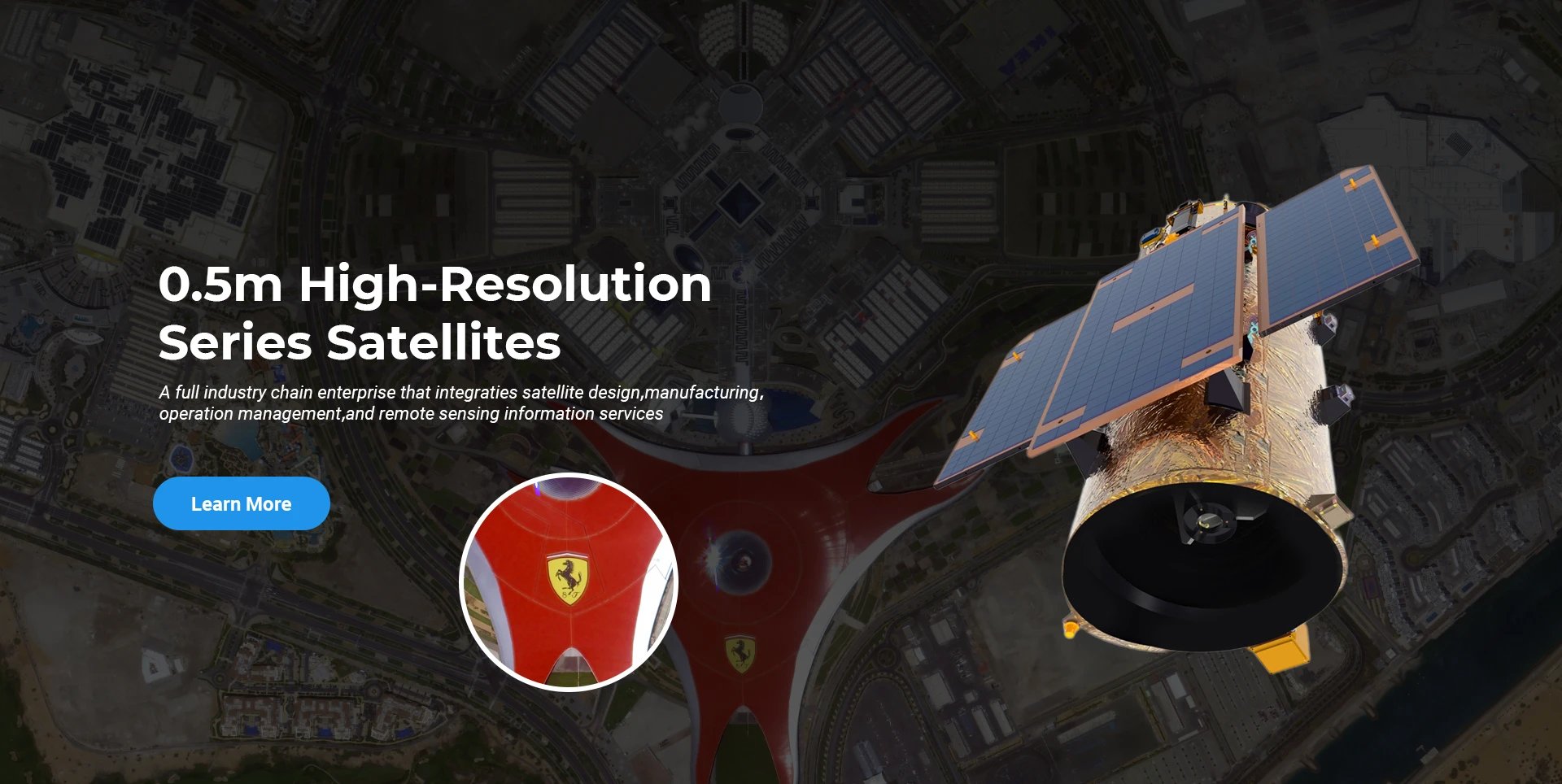
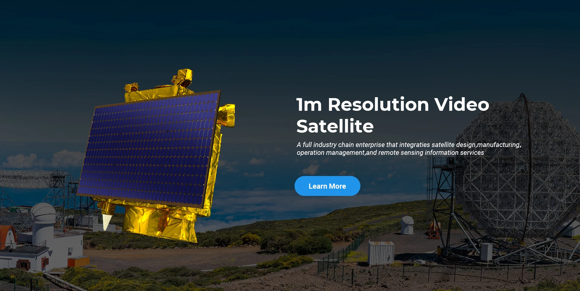
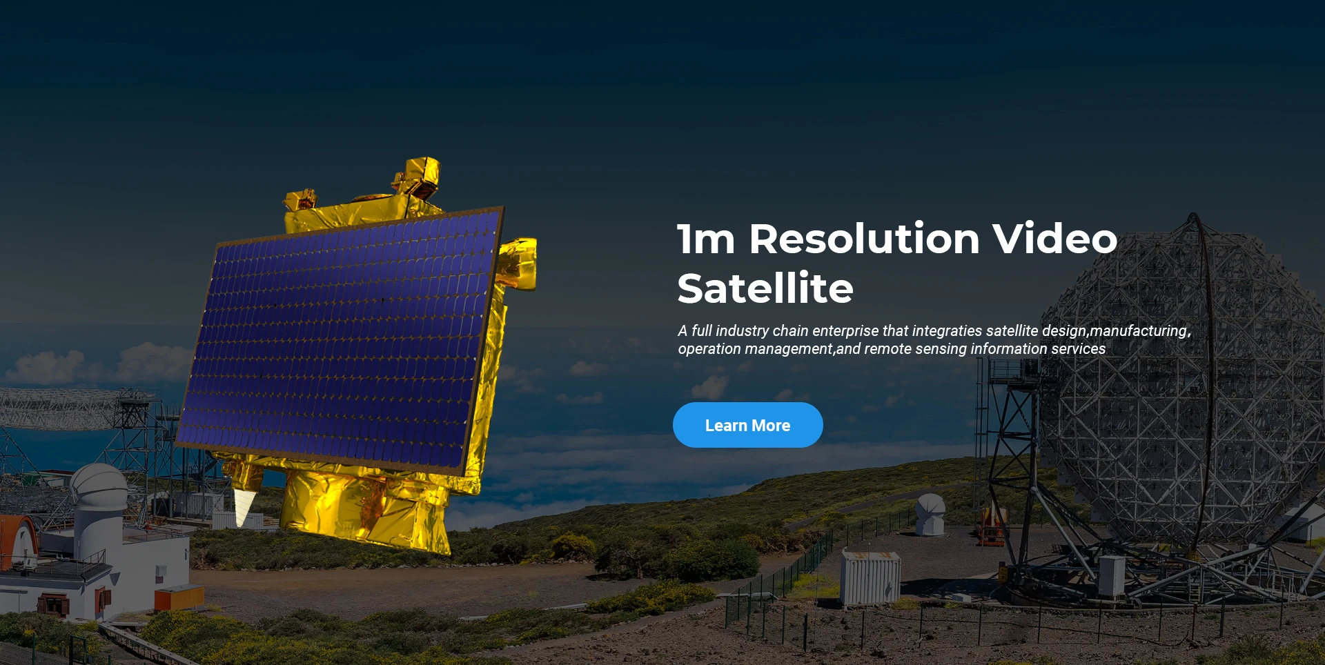
स्पेसनेभीले उच्च-प्रदर्शन, कम लागतको उपग्रह र वायु-अन्तरिक्ष-जमिन एकीकृत रिमोट सेन्सिङ सूचना सेवाहरूको अनुसन्धान र विकासमा ध्यान केन्द्रित गर्दै उच्च-अन्त उपकरण निर्माण र सूचना सेवाहरूको एकीकृत विकासको लागि व्यापार मोडेललाई सधैं पालना गरेको छ।
Satellite
high end equipment manufacturing high end equipment manufacturing

अन्तरिक्षयानहरू प्रदान गर्दछ अनुकूलित उपग्रह उत्पादन सेवाहरू भएका ग्राहकहरू।

यदि तपाईं हाम्रा उत्पादनहरूमा रुचि राख्नुहुन्छ भने, तपाईं आफ्नो जानकारी यहाँ छोड्न सक्नुहुन्छ, र हामी छिट्टै तपाईंसँग सम्पर्क गर्नेछौं।

हवाई

सफल हवाई सर्वेक्षणहरू

उडानहरूको लागि केस-दर-केस आवेदन

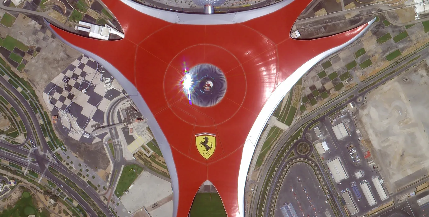
रिमोट सेन्सिङ स्याटेलाइट

अनुसन्धान र विकास स्तर

उपग्रह अनुसन्धान र विकासको सन्दर्भमा, उपग्रह प्रविधि विकास प्रवृत्ति र व्यावसायिक विकास मोडको निर्णय अनुसार, मुख्य प्राविधिक टोलीले परम्परागत डिजाइन अवधारणालाई तोडेर "उपग्रह प्लेटफर्म र लोड एकीकरण" को प्राविधिक मार्ग अपनाएको छ। दस वर्षमा चार गुणा प्रगति पछि, उपग्रहको तौल प्रारम्भिक पुस्ताको ४०० किलोग्रामबाट २० किलोग्राममा घटाइएको छ।

Remote Sensing Satellite

अप्टिकल प्रशोधन क्षेत्र

उत्पादन अवस्थाहरू

अप्टिकल प्रशोधन क्षेत्रको कुल क्षेत्रफल १०००० वर्ग मीटर छ। यो क्षेत्र उच्च-परिशुद्धता अप्टिकल कम्पोनेन्टहरूको ठूलो उत्पादन गर्न सक्षम छ, र गिलास सिरेमिक र सिलिकन कार्बाइड, आदिबाट बनेका अप्टिकल कम्पोनेन्टहरूलाई मोटो देखि फाइनसम्म प्रशोधन गर्ने क्षमता छ, साथै सम्बन्धित पत्ता लगाउने क्षमता पनि छ।

Optical Processing Area

कम्पनी र उद्योग

SPACENavi ब्लग

हाल, कम्पनीले बलियो सेवा क्षमताहरू सहित विश्वको सबैभन्दा ठूलो सबमिटर व्यावसायिक रिमोट सेन्सिङ उपग्रह तारामंडल निर्माण गरेको छ।

Jun, 25
25
Enhancing Modern Security Systems with High Resolution Cameras
In today’s rapidly evolving world, maintaining safety across public spaces, private facilities, and critical infrastructure has never been more crucial.
Jun, 25
25
Advancing Space Observation with High Resolution Cameras
Space-based technologies have revolutionized the way we observe Earth, monitor environmental changes, and explore the universe.
Jun, 25
25
Elevating Remote Sensing and Research with High Resolution Cameras
In the fields of environmental monitoring, aerospace, and scientific discovery, seeing more means knowing more.
Jun, 25
25
Driving Industrial Innovation with High Resolution Cameras
In the age of Industry 4.0, the integration of vision-based technologies into automated production lines is reshaping the way industries ensure quality and efficiency.
Jun, 25
24
Advancing Earth Observation Through Cutting-Edge Satellite Platforms in Remote Sensing
The evolution of space technology has transformed how humanity observes and interacts with our planet.
Jun, 25
24
Revolutionizing Earth Observation with Satellite Platforms in Remote Sensing
In the rapidly evolving field of space technology, the satellite platform has become the foundation of modern Earth observation and remote sensing missions.
Jun, 25
24
Innovative Satellite Platforms Driving the Future of Remote Sensing
The landscape of space technology is rapidly transforming thanks to the evolution of the satellite platform.
Jun, 25
24
Optimizing Space Missions with Advanced Satellite SFS Solutions
The rapid expansion of space exploration and satellite deployment demands cutting-edge software technologies, making satellite SFS (Satellite Flight Software) an essential element for mission success.

यदि तपाईं हाम्रा उत्पादनहरूमा रुचि राख्नुहुन्छ भने, तपाईं आफ्नो जानकारी यहाँ छोड्न सक्नुहुन्छ, र हामी छिट्टै तपाईंसँग सम्पर्क गर्नेछौं।