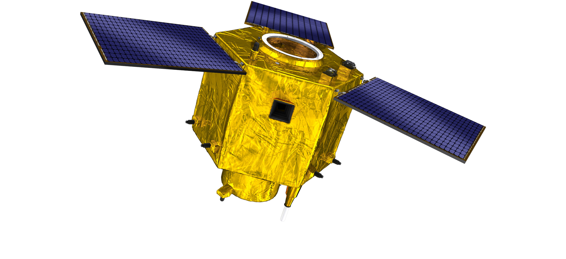
satellite data providerssatellite data providers
China satelliteChina satellite

Erdvėlaiviai

MES ESAME PROFESIONALUS PASLAUGŲ TEIKĖJAS

„SpaceNavi“ visada laikėsi verslo modelio, skirto integruotai plėtoti aukščiausios klasės įrangos gamybos ir informacijos paslaugas, daugiausia dėmesio skirdama didelio našumo ir pigių palydovų bei integruotų nuotolinio stebėjimo informacijos paslaugų tyrimams ir plėtrai.
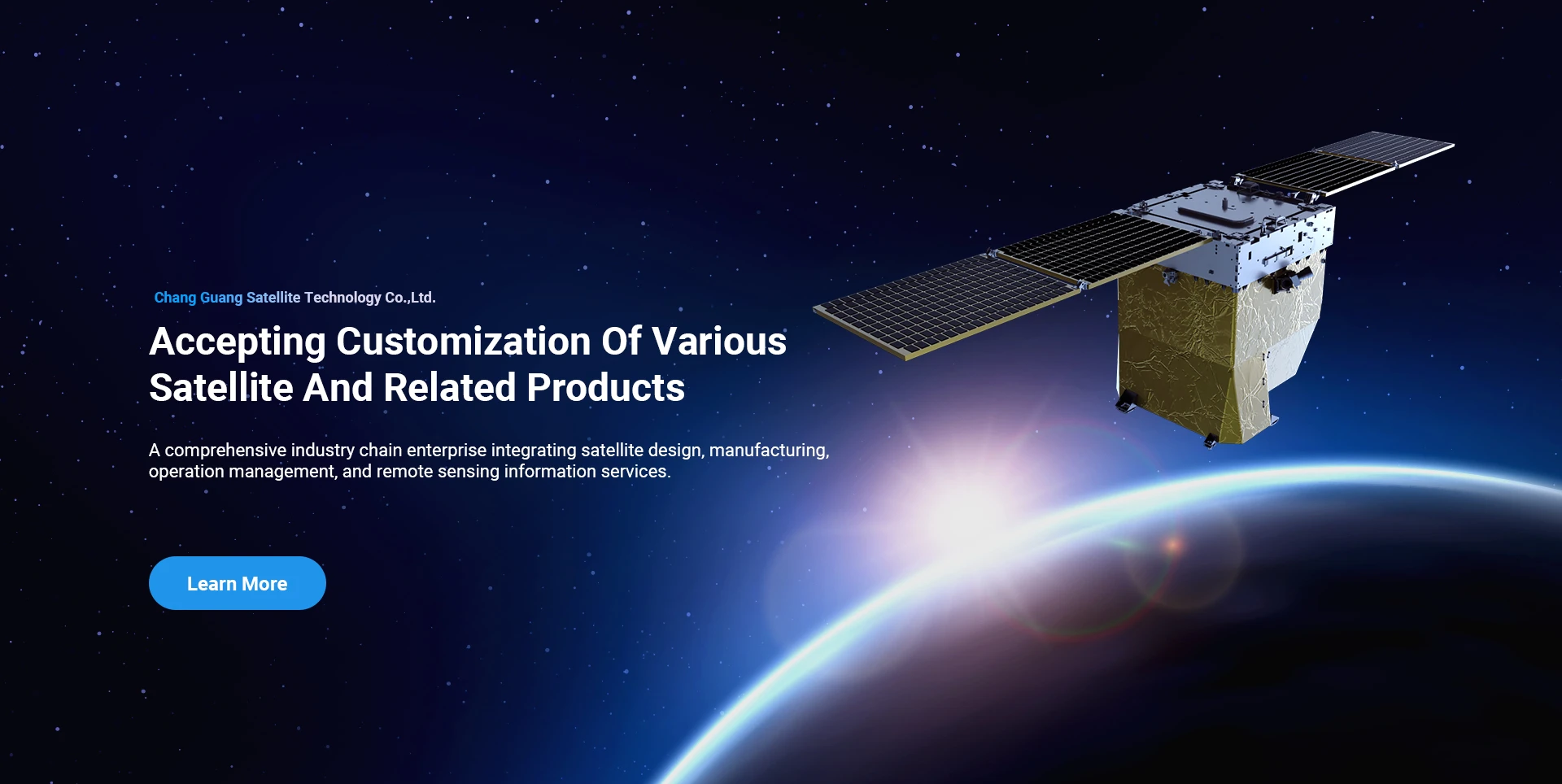
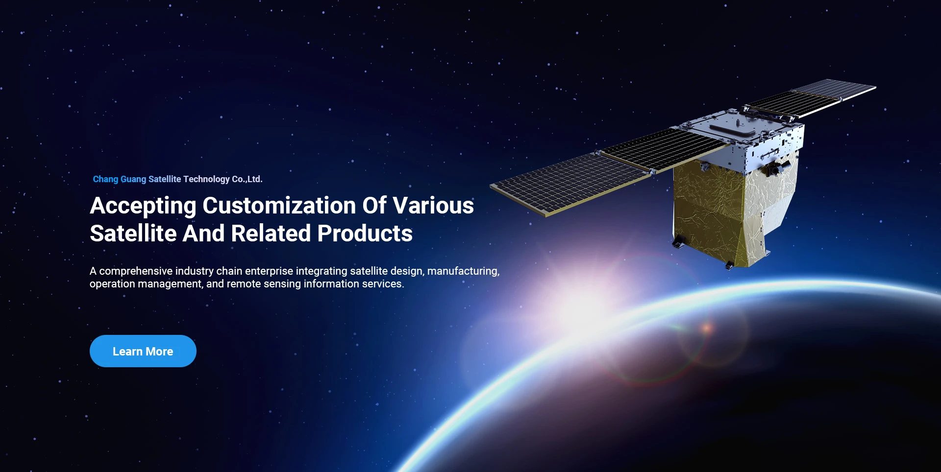
Satellite
high end equipment manufacturing high end equipment manufacturing

Erdvėlaiviai numato klientams pritaikytos palydovinės gamybos paslaugos.

Jei jus domina mūsų produktai, galite palikti savo informaciją čia ir mes su jumis susisieksime artimiausiu metu.

ANTENAS

SĖKMINGOS ANEKONINĖS TYRIMOS

Konkretus prašymas skrydžiams

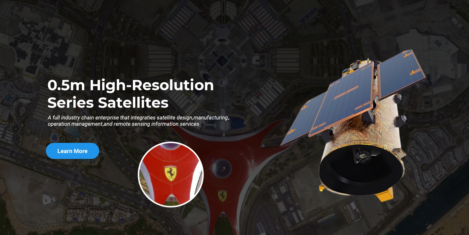
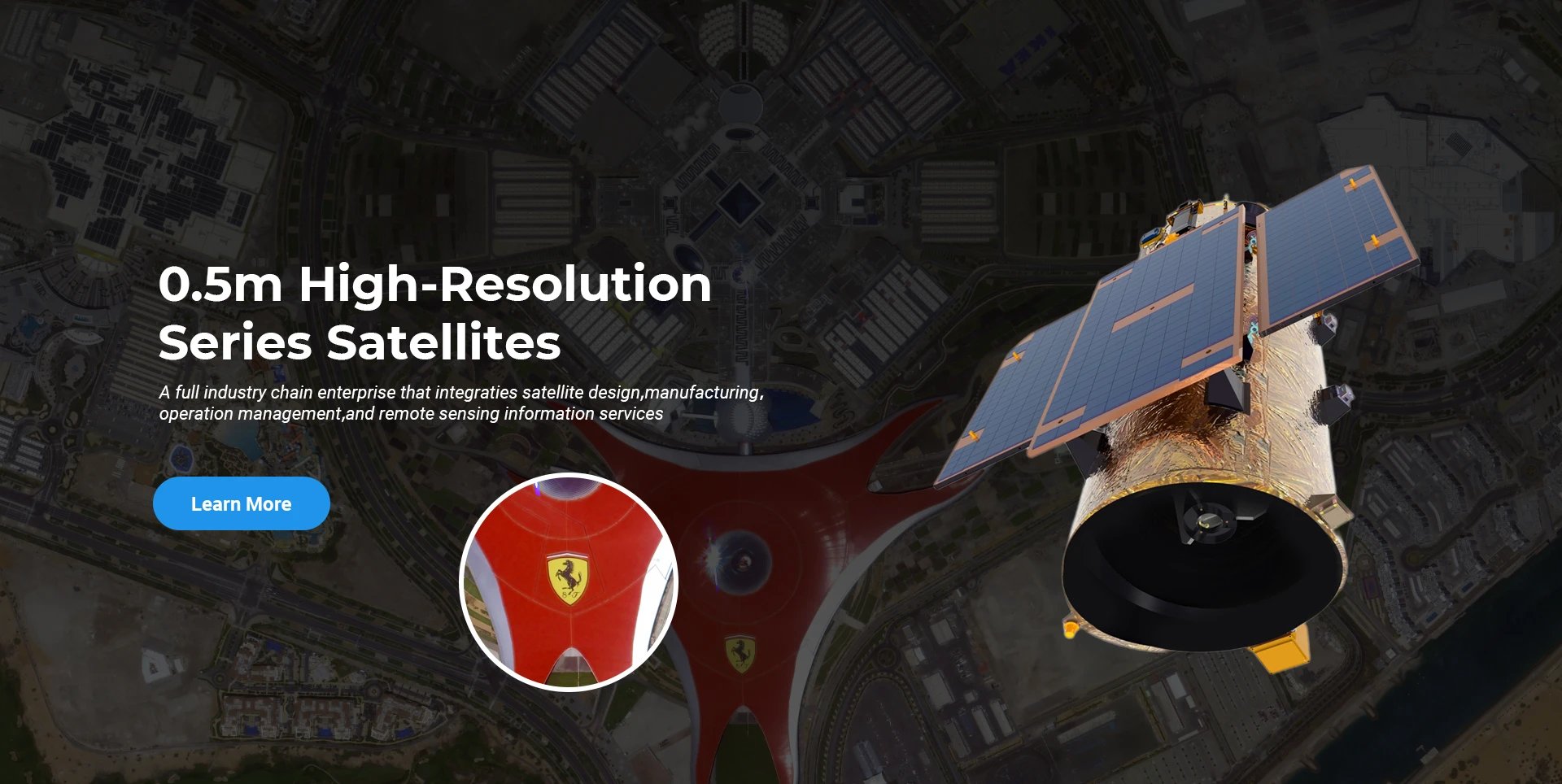
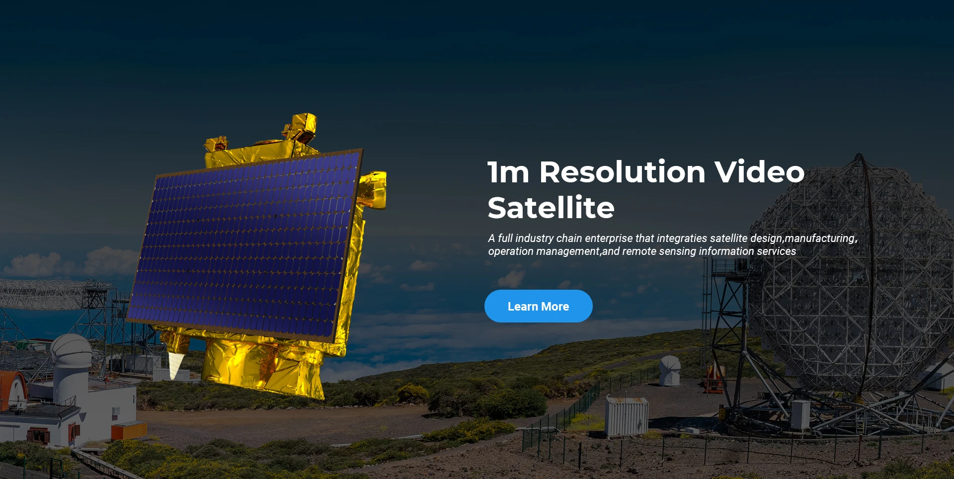
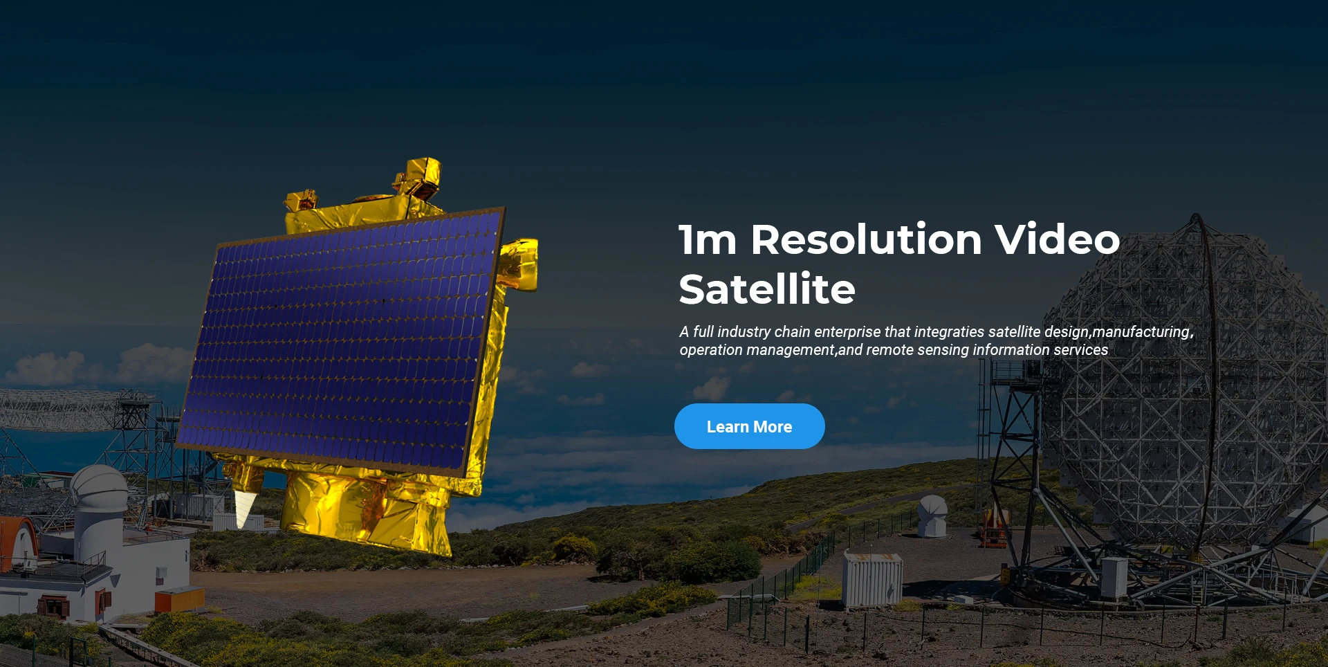
Nuotolinio stebėjimo palydovas

MTEP lygis

Kalbant apie palydovinius tyrimus ir plėtrą, atsižvelgiant į palydovinių technologijų plėtros tendencijas ir komercinės plėtros režimą, pagrindinė techninė komanda peržengė tradicinę dizaino koncepciją ir pasirinko techninį „palydovinės platformos ir apkrovos integravimo“ kelią. Po keturių kartų pažangos per dešimt metų palydovo svoris sumažėjo iki 20 kg nuo 400 kg pradinės kartos.

Remote Sensing Satellite

Optinio apdorojimo sritis

Gamybos sąlygos

Bendras optinio apdorojimo plotas yra 10000m2. Šioje srityje galima vykdyti masinę didelio tikslumo optinių komponentų gamybą, apdirbti optinius komponentus, pagamintus iš stiklo keramikos ir silicio karbido ir kt., nuo stambaus iki smulkaus, taip pat atitinkamą aptikimą.

Optical Processing Area

Įmonė ir pramonė

SPACENavi BLOGAS

Šiuo metu įmonė yra sukūrusi didžiausią pasaulyje komercinio nuotolinio aptikimo palydovų žvaigždyną, pasižymintį didelėmis aptarnavimo galimybėmis.

Jun, 25
20
Exploring the Types of Satellite Internet and Communication Technologies Shaping the Digital Frontier
As the demand for global connectivity continues to grow, satellite-based solutions are rapidly evolving to bridge the digital divide.
Jun, 25
20
Understanding Satellite Bus Structures and Platforms in Remote Sensing Applications
In the rapidly advancing aerospace industry, the satellite platform plays a central role in mission success.
Jun, 25
20
Exploring Satellite Platforms and Communication Networks in Remote Sensing
With the ever-expanding utility of space-based data, the design and selection of satellite platforms in remote sensing have become fundamental to mission planning.
Jun, 25
20
How Multispectral Satellite Imagery is Revolutionizing Data-Driven Decision-Making
In an era defined by rapid environmental change and the need for smarter resource management, multispectral satellite imagery offers a powerful lens through which we can better understand Earth’s surface.
Jun, 25
20
Exploring the Power of Multispectral Satellite Imagery for Smarter Earth Observation
As technology reshapes how we observe and understand the world, multispectral satellite imagery stands at the forefront of advanced data collection and analysis.
Jun, 25
20
Satellite Communication Services and High-Resolution Imaging for the Next Digital Leap
In today’s hyperconnected world, robust satellite communication services and high-resolution imaging systems are playing an increasingly vital role across industries.
Jun, 25
19
Exploring The Benefits Of Multispectral Satellite Imagery For Earth Observation
The use of multispectral satellite technology has significantly enhanced our ability to observe and understand Earth’s surface in remarkable detail.
Jun, 25
19
Unlocking the Power of Multispectral Satellite Technology
In today’s rapidly evolving world, the use of multispectral satellite technology has transformed the way we observe and analyze our planet.

Jei jus domina mūsų produktai, galite palikti savo informaciją čia ir mes su jumis susisieksime artimiausiu metu.