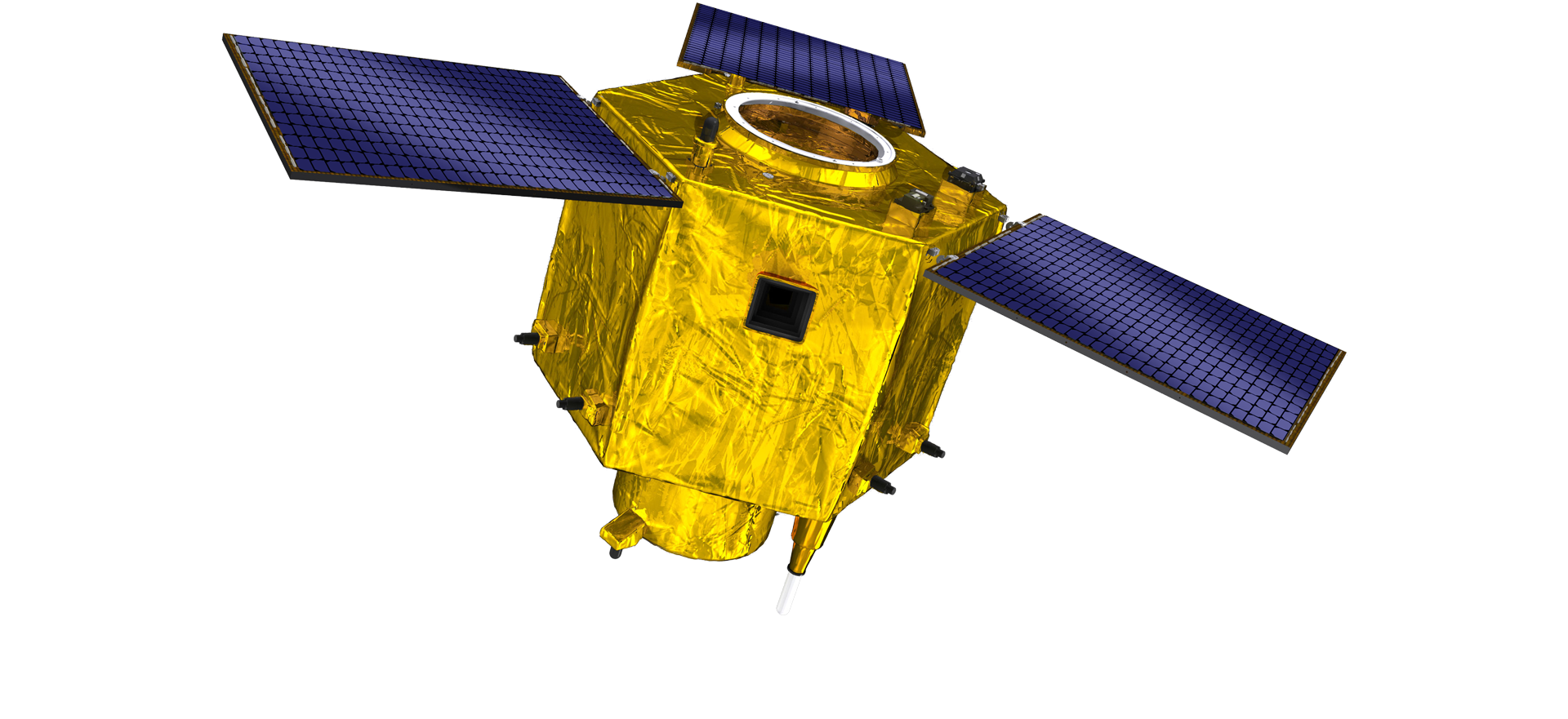
satellite data providerssatellite data providers
China satelliteChina satellite

Keştiyên fezayê

EM BERXWEDANÊN XIZMETÊN PÊŞOYAN IN

SpaceNavi her gav pabendî modela karsaziyê ji bo pêşkeftina yekbûyî ya hilberîna alavên paşîn û karûbarên agahdariyê ye, balê dikişîne ser lêkolîn û pêşkeftina satelaytên bi performansa bilind, û lêçûn kêm û karûbarên agahdariya agahdariya dûr a yekbûyî ya hewa-feza-erd.
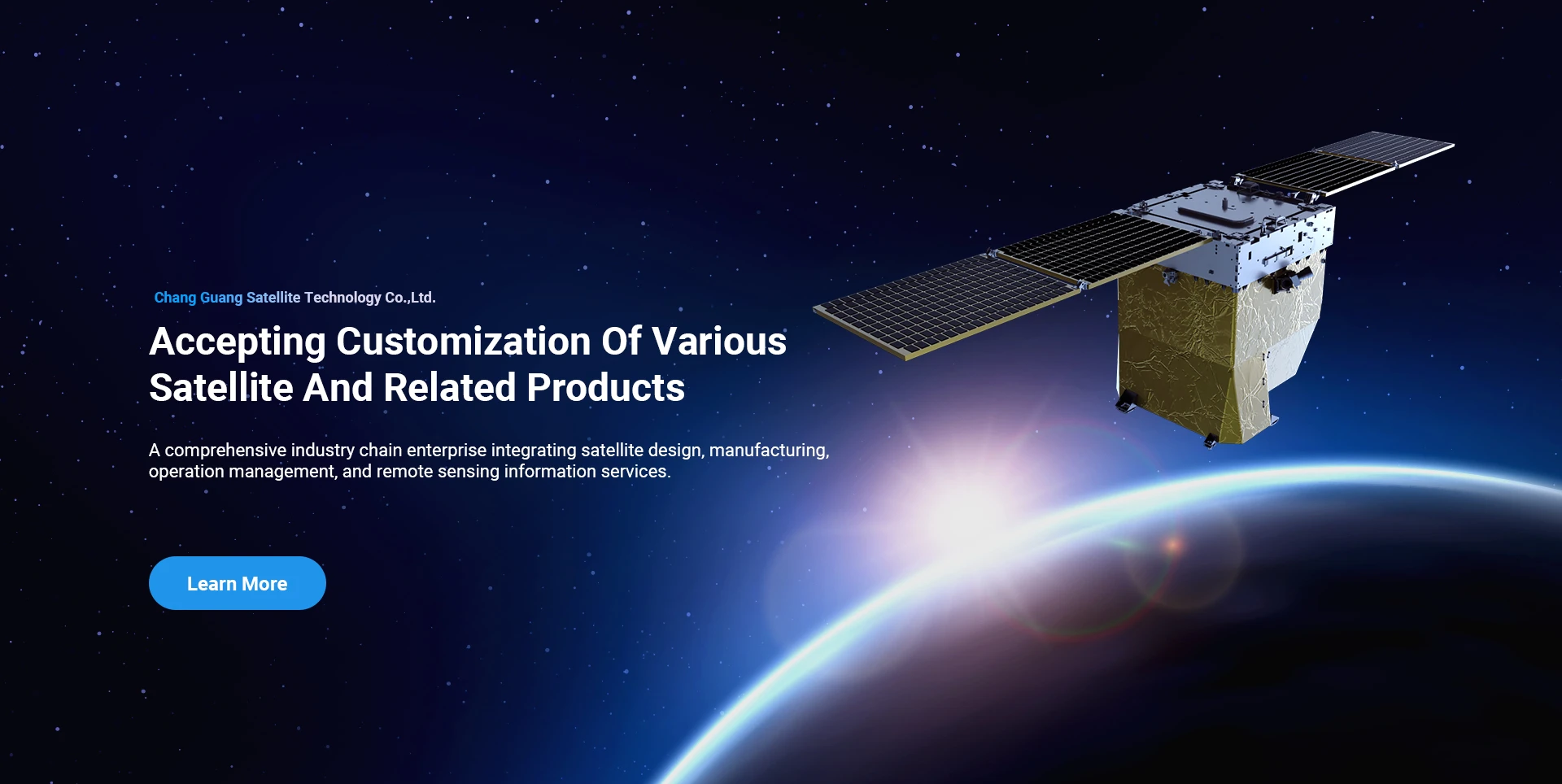
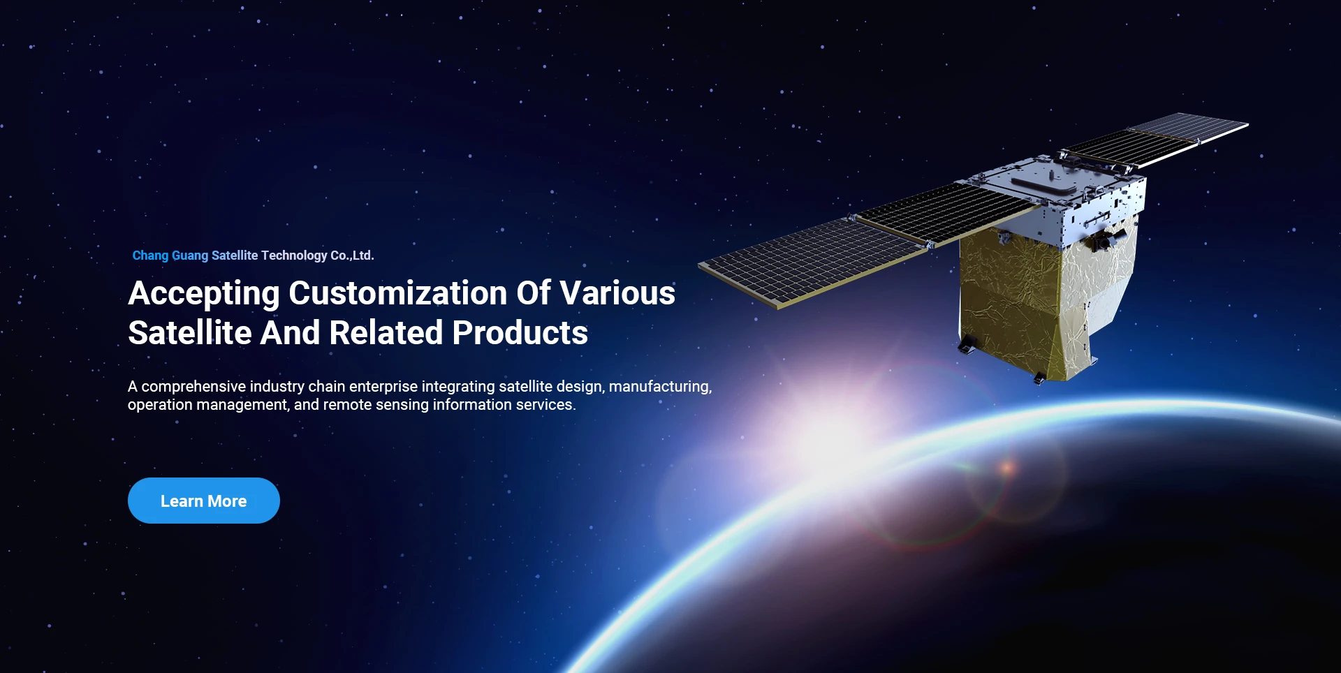
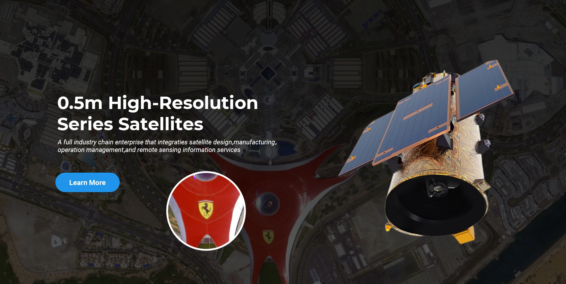
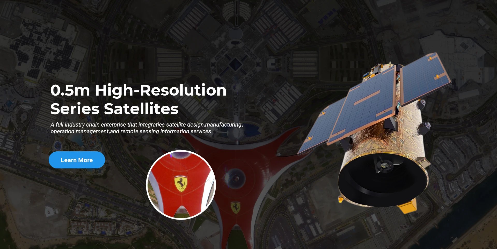
Satellite
high end equipment manufacturing high end equipment manufacturing

Keştiyên fezayê pêşkêş dike xerîdar bi karûbarên hilberîna satelîtê yên xwerû.

Heke hûn bi hilberên me re eleqedar in, hûn dikarin hilbijêrin ku agahdariya xwe li vir bihêlin, û em ê di demek nêzîk de bi we re têkilî daynin.

BI FIRRÊ

SERKEFTIN AERIAL SERVEYS

Serlêdana doz-bi-doz ji bo firînên

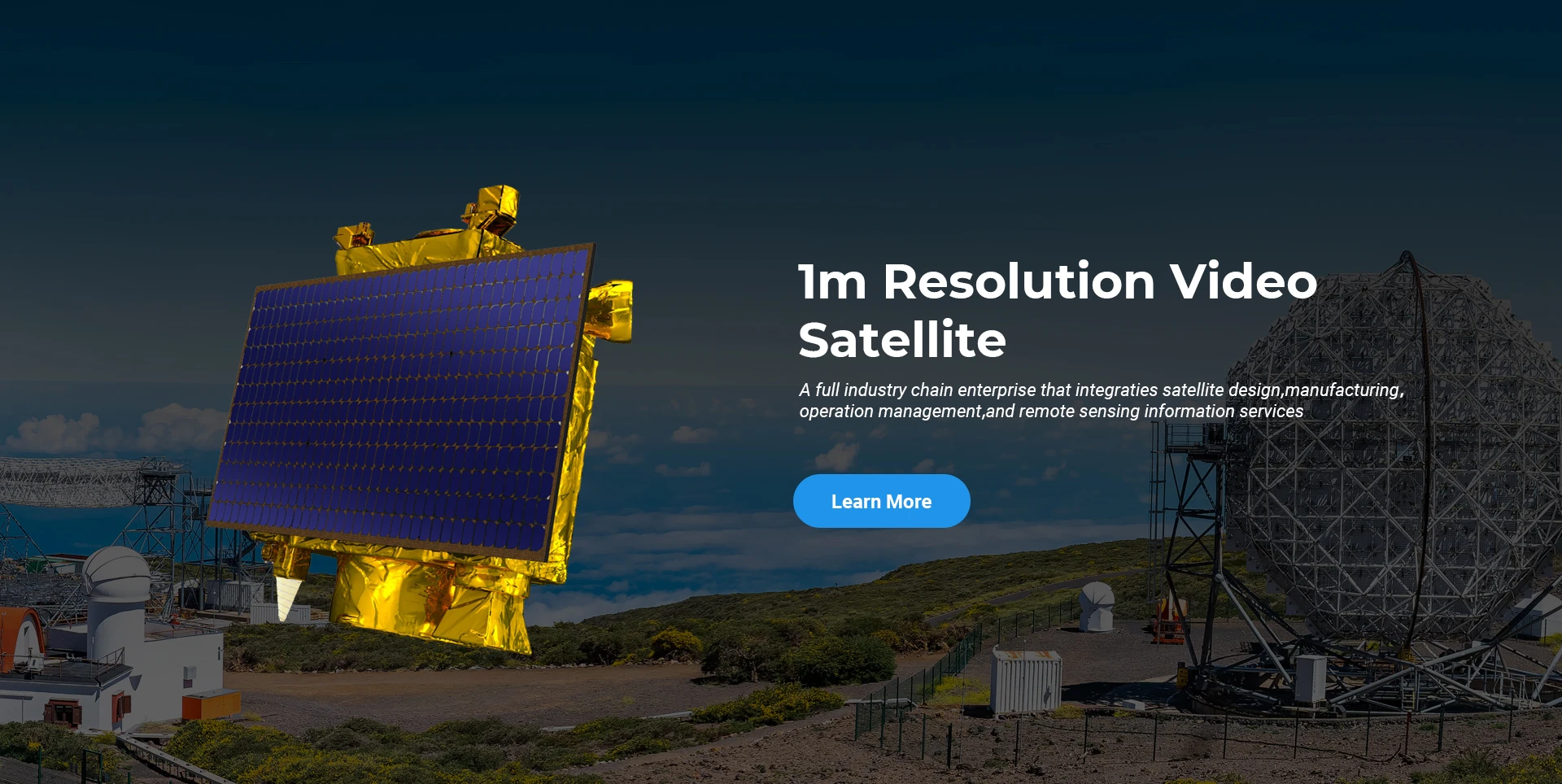
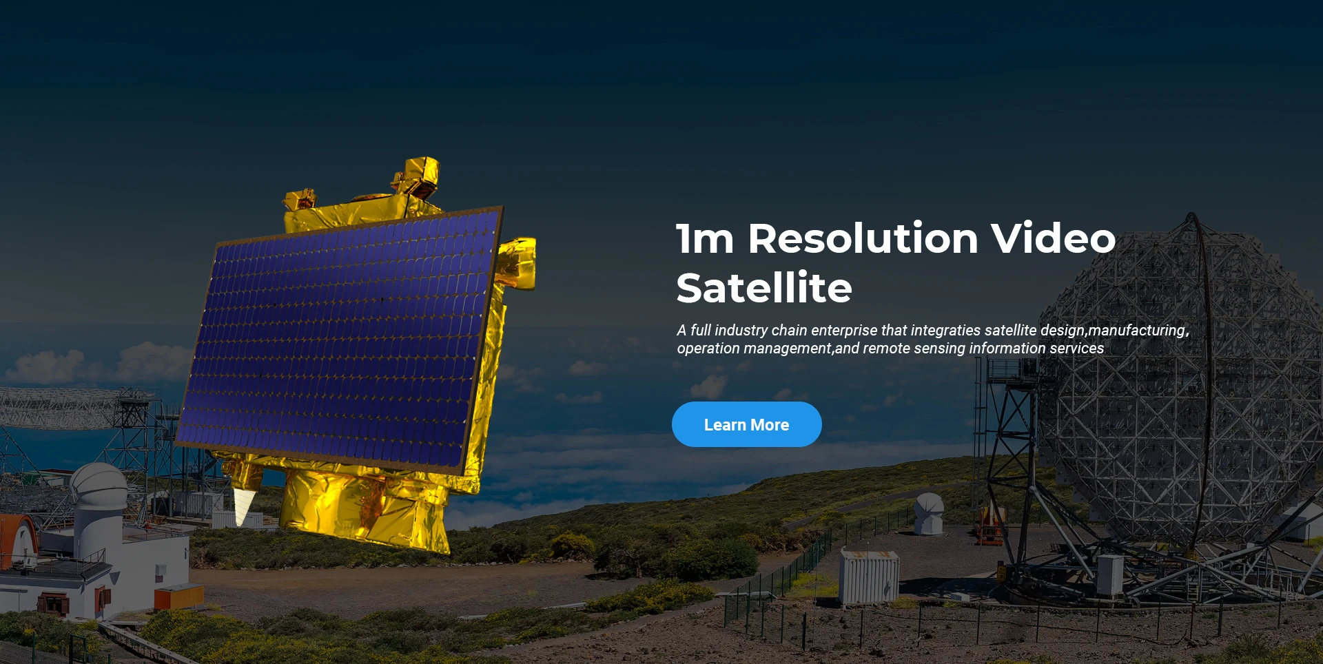
Remote Sensing Satellite

Asta R&D

Di warê R&D ya satelîtê de, li gorî daraza meyla pêşkeftina teknolojiya satelîtê û moda pêşkeftina bazirganî, tîmê teknîkî ya bingehîn têgeha sêwirana kevneşopî şikand û riya teknîkî ya "platforma satelîtê û yekbûna barkirinê" pejirand. Piştî çar caran pêşveçûnê di nav deh salan de, giraniya satelîtê ji 400 kg ya nifşa destpêkê daket 20 kg.

Remote Sensing Satellite

Qada Pêvajoya Optîk

Mercên Hilberînê

Rûbera giştî ya qada pêvajoyê ya optîkî 10000 m2 ye. Ev dever karibe hilberîna girseyî ya pêkhateyên optîkî yên rast-bilind bike, û xwedan şiyana ku pêkhateyên optîkî yên ji seramîkên cam û karbîd silicon, hwd. ji qelew heya hûr, û her weha vedîtina têkildar pêvajo bike.

Optical Processing Area

Şîrket & Pîşesazî

SPACENAvi BLOG

Heya nuha, pargîdanî komstêra satelîtê ya ji dûr ve ya bazirganiyê ya herî mezin a cîhanê, bi kapasîteyên karûbarê bihêz ava kiriye.

Jun, 25
20
Exploring the Types of Satellite Internet and Communication Technologies Shaping the Digital Frontier
As the demand for global connectivity continues to grow, satellite-based solutions are rapidly evolving to bridge the digital divide.
Jun, 25
20
Understanding Satellite Bus Structures and Platforms in Remote Sensing Applications
In the rapidly advancing aerospace industry, the satellite platform plays a central role in mission success.
Jun, 25
20
Exploring Satellite Platforms and Communication Networks in Remote Sensing
With the ever-expanding utility of space-based data, the design and selection of satellite platforms in remote sensing have become fundamental to mission planning.
Jun, 25
20
How Multispectral Satellite Imagery is Revolutionizing Data-Driven Decision-Making
In an era defined by rapid environmental change and the need for smarter resource management, multispectral satellite imagery offers a powerful lens through which we can better understand Earth’s surface.
Jun, 25
20
Exploring the Power of Multispectral Satellite Imagery for Smarter Earth Observation
As technology reshapes how we observe and understand the world, multispectral satellite imagery stands at the forefront of advanced data collection and analysis.
Jun, 25
20
Satellite Communication Services and High-Resolution Imaging for the Next Digital Leap
In today’s hyperconnected world, robust satellite communication services and high-resolution imaging systems are playing an increasingly vital role across industries.
Jun, 25
19
Exploring The Benefits Of Multispectral Satellite Imagery For Earth Observation
The use of multispectral satellite technology has significantly enhanced our ability to observe and understand Earth’s surface in remarkable detail.
Jun, 25
19
Unlocking the Power of Multispectral Satellite Technology
In today’s rapidly evolving world, the use of multispectral satellite technology has transformed the way we observe and analyze our planet.

Heke hûn bi hilberên me re eleqedar in, hûn dikarin hilbijêrin ku agahdariya xwe li vir bihêlin, û em ê di demek nêzîk de bi we re têkilî daynin.