ტელ:+86 13943095588
satellite data providerssatellite data providers
China satelliteChina satellite

კოსმოსური ხომალდები

ჩვენ ვართ პროფესიონალური მომსახურების მიმწოდებლები

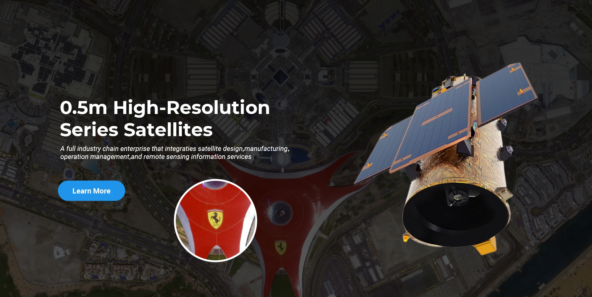
SpaceNavi ყოველთვის იცავდა ბიზნეს მოდელს მაღალი დონის აღჭურვილობის წარმოებისა და საინფორმაციო სერვისების ინტეგრირებული განვითარებისთვის, რომელიც ფოკუსირებულია მაღალი ხარისხის და იაფი თანამგზავრების კვლევასა და განვითარებაზე და საჰაერო-კოსმოსურ-სახმელეთო ინტეგრირებული დისტანციური ზონდირების საინფორმაციო სერვისებზე.
Satellite
high end equipment manufacturing high end equipment manufacturing

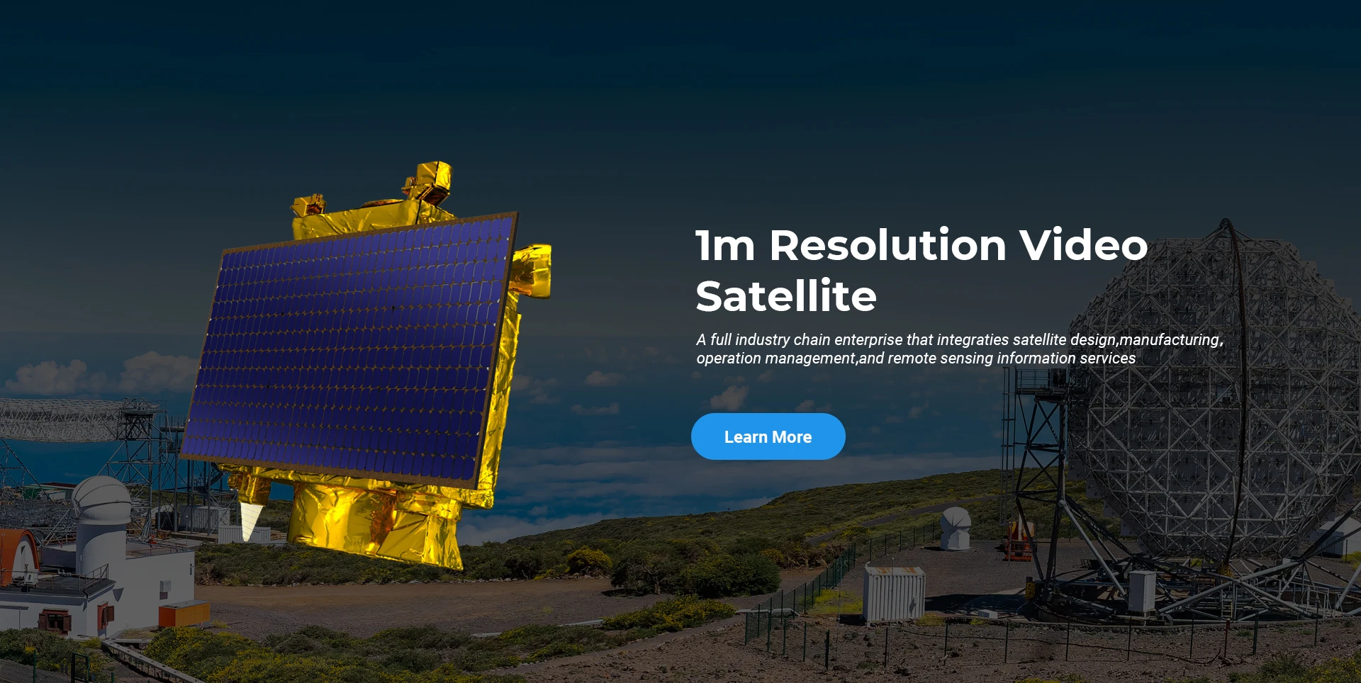
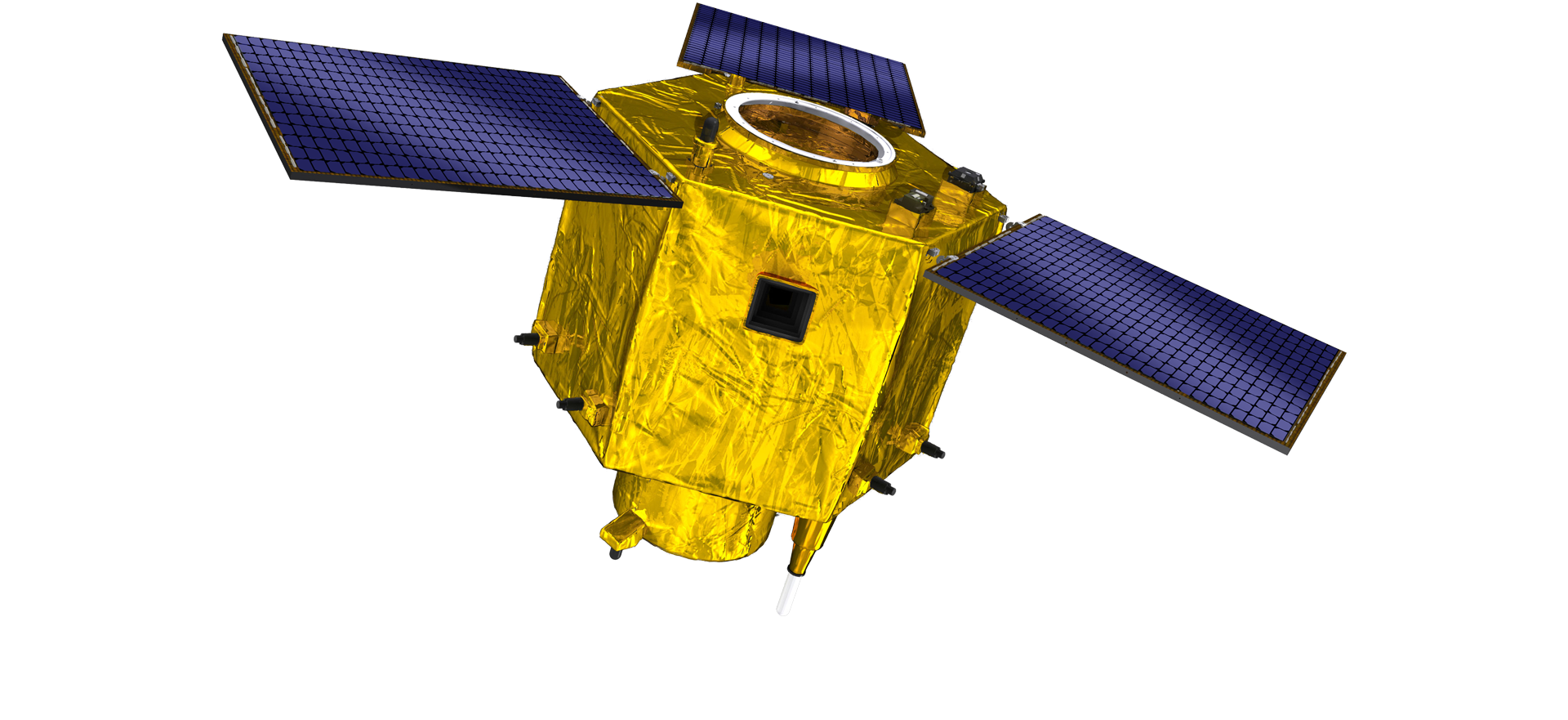
კოსმოსური ხომალდები უზრუნველყოფს მომხმარებლები მორგებული სატელიტური წარმოების სერვისებით.

თუ თქვენ დაინტერესებული ხართ ჩვენი პროდუქტებით, შეგიძლიათ დატოვოთ თქვენი ინფორმაცია აქ და ჩვენ დაგიკავშირდებით მალე.

საჰაერო

წარმატებული საჰაერო კვლევები

ფრენების შემთხვევისთვის აპლიკაცია

დისტანციური ზონდირების სატელიტი

R&D დონე

სატელიტური კვლევისა და განვითარების თვალსაზრისით, თანამგზავრული ტექნოლოგიების განვითარების ტენდენციისა და კომერციული განვითარების რეჟიმის შესაბამისად, მთავარმა ტექნიკურმა გუნდმა გაარღვია ტრადიციული დიზაინის კონცეფცია და მიიღო ტექნიკური მარშრუტი "სატელიტური პლატფორმისა და დატვირთვის ინტეგრაციის". ათი წლის განმავლობაში ოთხჯერ პროგრესის შემდეგ, თანამგზავრის წონა 20 კგ-მდე შემცირდა საწყისი თაობის 400 კგ-დან.

Remote Sensing Satellite

ოპტიკური დამუშავების ზონა

წარმოების პირობები

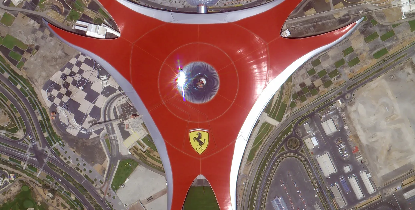
ოპტიკური დამუშავების არეალის საერთო ფართობია 10000მ2. ამ ზონას შეუძლია განახორციელოს მაღალი სიზუსტის ოპტიკური კომპონენტების მასობრივი წარმოება და აქვს შუშის კერამიკისა და სილიციუმის კარბიდის და ა.შ. დამზადებული ოპტიკური კომპონენტების დამუშავების უნარი უხეშიდან წვრილამდე, ასევე შესაბამისი გამოვლენის.

Optical Processing Area

კომპანია და ინდუსტრია

SPACENavi BLOG

ამჟამად, კომპანიამ ააშენა მსოფლიოში ყველაზე დიდი ქვემეტრიანი კომერციული დისტანციური ზონდირების თანავარსკვლავედი, ძლიერი სერვისის შესაძლებლობებით.

Jun, 25
24
Advancing Earth Observation Through Cutting-Edge Satellite Platforms in Remote Sensing
The evolution of space technology has transformed how humanity observes and interacts with our planet.
Jun, 25
24
Revolutionizing Earth Observation with Satellite Platforms in Remote Sensing
In the rapidly evolving field of space technology, the satellite platform has become the foundation of modern Earth observation and remote sensing missions.
Jun, 25
24
Innovative Satellite Platforms Driving the Future of Remote Sensing
The landscape of space technology is rapidly transforming thanks to the evolution of the satellite platform.
Jun, 25
24
Optimizing Space Missions with Advanced Satellite SFS Solutions
The rapid expansion of space exploration and satellite deployment demands cutting-edge software technologies, making satellite SFS (Satellite Flight Software) an essential element for mission success.
Jun, 25
24
Satellite SFS: Driving Next-Generation Autonomous Space Missions
The advancement of space technology heavily relies on sophisticated software systems, and satellite SFS (Satellite Flight Software) stands at the heart of modern satellite operations.
Jun, 25
24
Exploring The Capabilities Of Satellite SFS For Advanced Space Applications
In the rapidly evolving field of satellite technology, the satellite SFS (Satellite Flight Software) plays a pivotal role in ensuring mission success.
Jun, 25
23
Unlocking Earth’s Secrets With Multispectral Satellite Imagery
In today’s era of data-driven decision-making, multispectral satellite imagery has become one of the most valuable tools for understanding and managing our planet.
Jun, 25
23
Harnessing The Power Of Multispectral Satellite Imagery For Sustainable Development
In the quest for sustainable development, multispectral satellite imagery has emerged as an indispensable tool.

თუ თქვენ დაინტერესებული ხართ ჩვენი პროდუქტებით, შეგიძლიათ დატოვოთ თქვენი ინფორმაცია აქ და ჩვენ დაგიკავშირდებით მალე.