satellite data providerssatellite data providers
China satelliteChina satellite

kapal angkasa

KAMI ADALAH PENYEDIA LAYANAN PROFESIONAL

SpaceNavi tansah netepi model bisnis kanggo pangembangan terintegrasi manufaktur peralatan dhuwur lan layanan informasi, fokus ing riset lan pangembangan kinerja dhuwur, lan satelit murah lan udhara-lemah terpadu layanan informasi penginderaan jauh.
Satellite
high end equipment manufacturing high end equipment manufacturing

kapal angkasa nyedhiyakake pelanggan karo layanan Manufaktur satelit selaras.

Yen sampeyan kasengsem ing produk kita, sampeyan bisa milih ninggalake informasi kene, lan kita bakal ing tutul karo sampeyan sakcepete.

AERIAL

SURVEY AERIAL SUKSES

Aplikasi kasus-kasus kanggo penerbangan

Satelit Penginderaan Jauh

Tingkat R&D

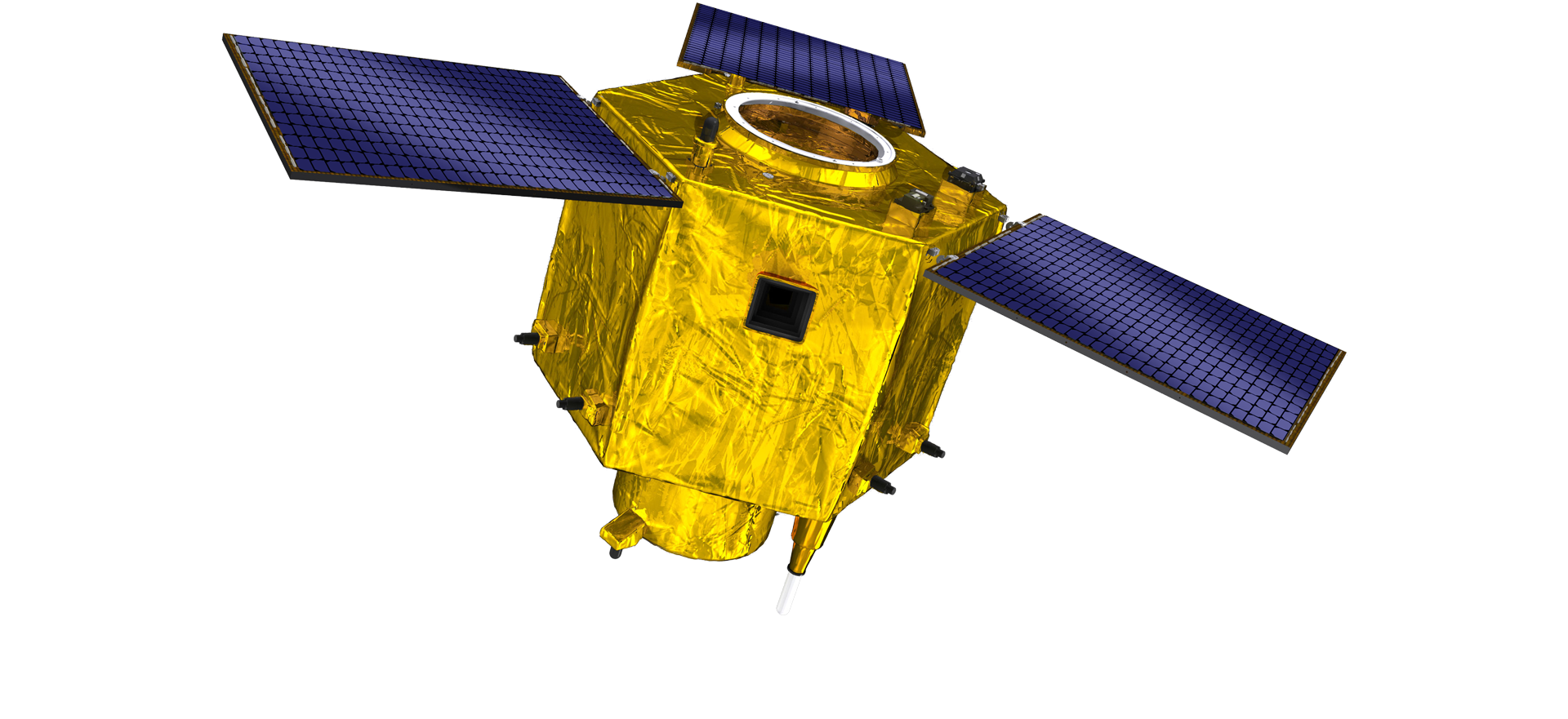
Ing babagan R&D satelit, miturut paukuman tren pangembangan teknologi satelit lan mode pangembangan komersial, tim teknis inti wis ngilangi konsep desain tradisional lan nggunakake rute teknis "platform satelit lan integrasi beban". Sawise kaping papat kemajuan ing sepuluh taun, bobot satelit wis suda kanggo 20kg saka 400kg saka generasi pisanan.

Remote Sensing Satellite

Area Pengolahan Optik

Syarat Produksi

Total area area pangolahan optik yaiku 10000m2. Wilayah iki bisa nindakake produksi massal komponen optik presisi dhuwur, lan nduweni kemampuan kanggo ngolah komponen optik sing digawe saka keramik kaca lan silikon karbida, lan liya-liyane saka kasar nganti alus, uga deteksi sing cocog.

Optical Processing Area

Perusahaan & Industri

SPACENavi BLOG

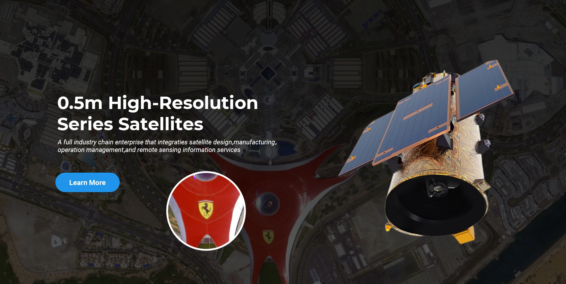
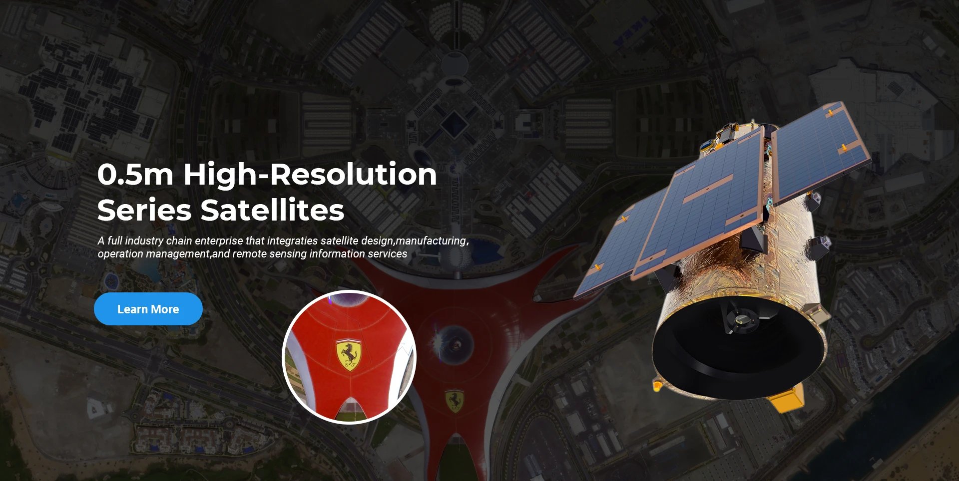
Saiki, perusahaan wis mbangun konstelasi satelit penginderaan jauh komersial submeter paling gedhe ing donya, kanthi kemampuan layanan sing kuwat.

Jun, 25
25
Enhancing Modern Security Systems with High Resolution Cameras
In today’s rapidly evolving world, maintaining safety across public spaces, private facilities, and critical infrastructure has never been more crucial.
Jun, 25
25
Advancing Space Observation with High Resolution Cameras
Space-based technologies have revolutionized the way we observe Earth, monitor environmental changes, and explore the universe.
Jun, 25
25
Elevating Remote Sensing and Research with High Resolution Cameras
In the fields of environmental monitoring, aerospace, and scientific discovery, seeing more means knowing more.
Jun, 25
25
Driving Industrial Innovation with High Resolution Cameras
In the age of Industry 4.0, the integration of vision-based technologies into automated production lines is reshaping the way industries ensure quality and efficiency.
Jun, 25
24
Advancing Earth Observation Through Cutting-Edge Satellite Platforms in Remote Sensing
The evolution of space technology has transformed how humanity observes and interacts with our planet.
Jun, 25
24
Revolutionizing Earth Observation with Satellite Platforms in Remote Sensing
In the rapidly evolving field of space technology, the satellite platform has become the foundation of modern Earth observation and remote sensing missions.
Jun, 25
24
Innovative Satellite Platforms Driving the Future of Remote Sensing
The landscape of space technology is rapidly transforming thanks to the evolution of the satellite platform.
Jun, 25
24
Optimizing Space Missions with Advanced Satellite SFS Solutions
The rapid expansion of space exploration and satellite deployment demands cutting-edge software technologies, making satellite SFS (Satellite Flight Software) an essential element for mission success.

Yen sampeyan kasengsem ing produk kita, sampeyan bisa milih ninggalake informasi kene, lan kita bakal ing tutul karo sampeyan sakcepete.