- Afracach
- Albanach
- Amáireach
- Araibis
- Airméinis
- Asarbaiseáinis
- Bascais
- Bealarúisis
- Beangáilis
- Boisnis
- Bulgáiris
- Catalóinis
- Cebuano
- tSín
- Corsaicis
- Cróitis
- Seiceach
- Danmhairgis
- Ollainnis
- Béarla
- Esperanto
- Eastóinis
- Fionlainnis
- Fraincis
- Freaslainnis
- Gailísis
- Seoirseach
- Gearmáinis
- Gréigis
- Gúisearáitis
- Criól Haiti
- Háise
- Haváíais
- Eabhrais
- Níl
- Miao
- Ungáiris
- Íoslainnis
- igbo
- Indinéisis
- gaeilge
- Iodálach
- Seapánach
- Iávais
- Cannadais
- casaicis
- Ciméiris
- Ruanda
- Cóiréis
- Coirdis
- Chirgeastáin
- Saothair
- Laidin
- Laitvis
- Liotuáinis
- Lucsamburgach
- Macadóinis
- Malagásais
- Malaeis
- Mailéalaimis
- Máltais
- Maorais
- Marathi
- Mongóilis
- Maenmar
- Neipealais
- Ioruais
- Ioruais
- Occitan
- Paistis
- Peirsis
- Polainnis
- Portaingéilis
- Puinseáibis
- Rómáinis
- Rúisis
- Samóis
- Gaeilge na hAlban
- Seirbis
- Béarla
- Shona
- Sindhi
- Siolóinis
- Slóvaicis
- Slóivéinis
- Somáilis
- Spáinnis
- Sundais
- Svahaílis
- Sualainnis
- Tagálaigis
- Táidsíc
- Tamailis
- Tatairis
- Teileagúis
- Téalainnis
- Tuircis
- Tuircméinis
- Úcráinis
- Urdais
- Uighur
- Úisbéicis
- Vítneaimis
- Breatnais
- Cabhrú
- Giúdais
- Iarúibis
- Súlúis
nuacht
Multispectral Satellite Imagery: A Key Tool For Environmental Conservation
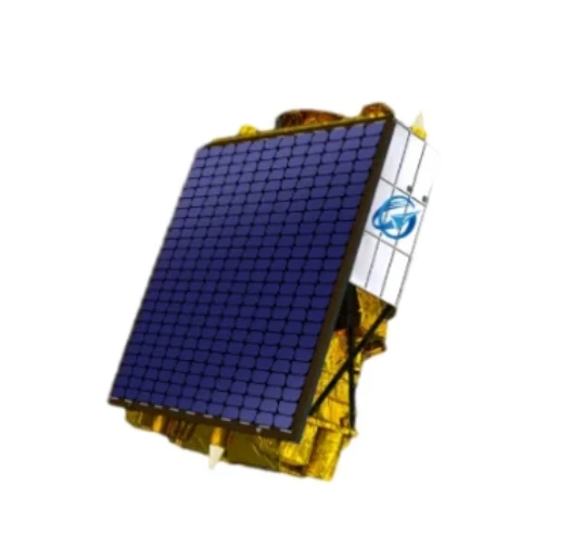
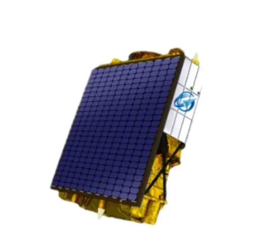
The use of multispectral satellite imagery has become indispensable for environmental conservation efforts worldwide. Thanks to the capabilities of multispectral satellites, conservationists and researchers can monitor ecosystems, detect environmental changes, and assess the impact of human activities with unprecedented accuracy. This rich data source supports informed decision-making to protect biodiversity and promote sustainable land use.
Monitoring Ecosystems With Multispectral Satellite Imagery
By capturing data across multiple spectral bands, multispectral satellite technology provides detailed information about vegetation health, water bodies, and soil characteristics. This allows for precise monitoring of ecosystems such as forests, wetlands, and coral reefs.
The analysis of multi spectral satellite imagery helps identify deforestation, habitat degradation, and invasive species spread. It also supports tracking the effects of climate change by detecting shifts in vegetation patterns and water availability over time.
Assessing Environmental Impact And Supporting Restoration Efforts
Environmental impact assessments rely heavily on multispectral satellite imagery to evaluate areas affected by pollution, mining, or urban expansion. The imagery aids in mapping damage and planning restoration projects.
Furthermore, multispectral satellites enable the monitoring of restoration progress by providing regular updates on vegetation regrowth and ecosystem recovery. This ongoing surveillance is critical to ensuring the success of conservation initiatives.
Integration With Satellite Communication For Real-Time Monitoring
Effective use of multispectral satellite imagery depends on rapid data access facilitated by modern satellite internet and VSAT technologies. These communication systems enable the transmission of large volumes of high-resolution imagery to ground stations and cloud platforms.
Many organizations adopt satellite as a service models, combining imaging data with processing and analytics tools accessible from anywhere. This integration supports real-time monitoring and quick response to environmental threats, even in remote or difficult-to-access regions.
In conclusion, multispectral satellite imagery is a vital asset for environmental conservation, providing comprehensive data to monitor and protect natural resources. Combined with advancements in satellite communication and data services, it empowers global efforts toward sustainability and ecological resilience.


