satellite data providerssatellite data providers
China satelliteChina satellite

Spásárthaí

IS SOLÁTHRAÍ SEIRBHÍSÍ GHAIRMIÚLA muid

Chloígh SpaceNavi i gcónaí leis an tsamhail ghnó maidir le forbairt chomhtháite déantúsaíochta trealaimh ardleibhéil agus seirbhísí faisnéise, ag díriú ar thaighde agus ar fhorbairt satailítí ardfheidhmíochta agus ar chostas íseal agus seirbhísí faisnéise braite cianbhraite aerspáis.
Satellite
high end equipment manufacturing high end equipment manufacturing

Spásárthaí soláthraíonn custaiméirí le seirbhísí saincheaptha déantúsaíochta satailíte.

Má tá suim agat inár dtáirgí, is féidir leat do chuid faisnéise a fhágáil anseo, agus beimid i dteagmháil leat go luath.

AERIAL

SUIRBHÉIRÍ AERÁIDEACHA AR RATHÚ

Iarratas cás-ar-chás ar eitiltí

Satailít Chianbhraiteachta

Leibhéal T&F

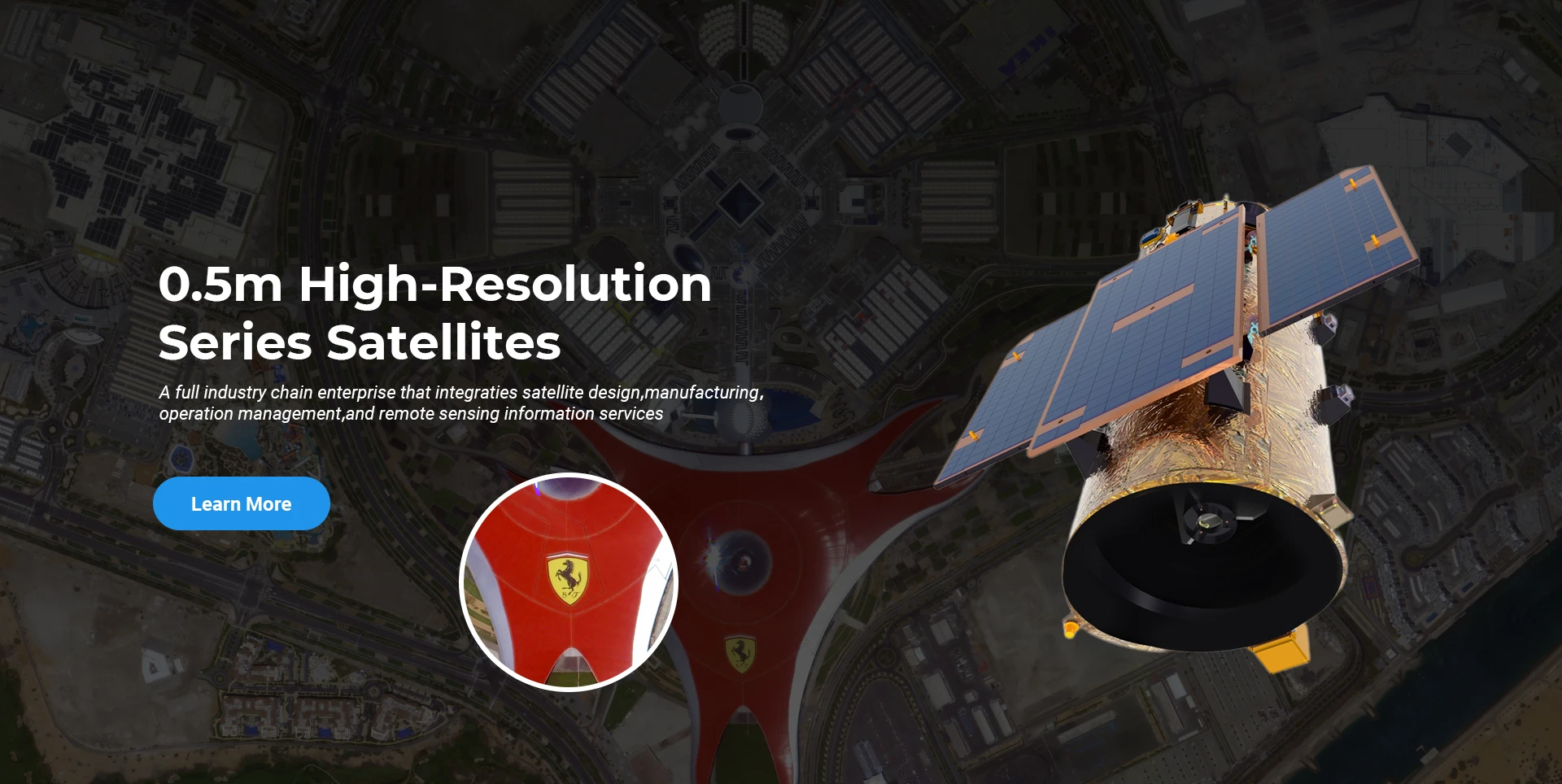
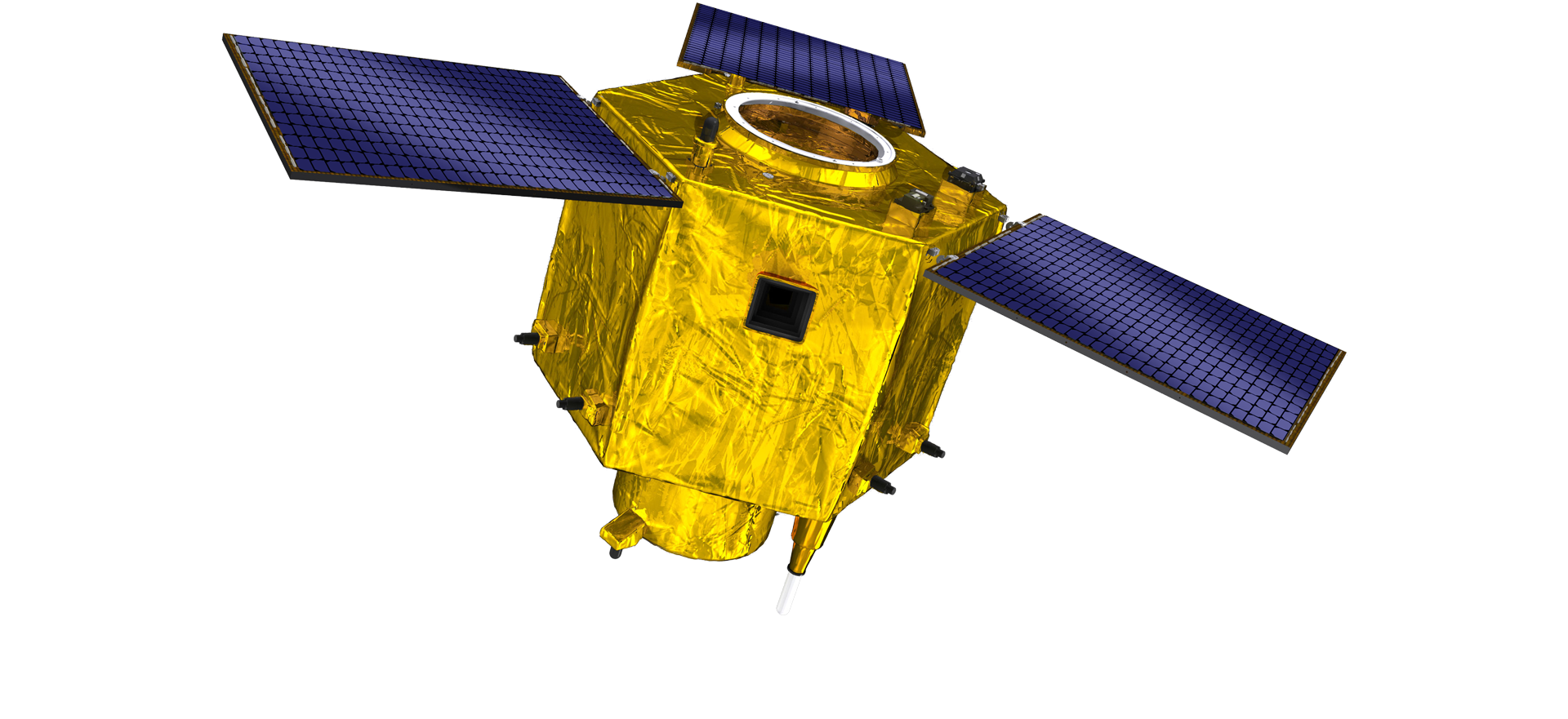
I dtéarmaí T & F satailíte, de réir bhreithiúnas treocht forbartha teicneolaíochta satailíte agus modh forbartha tráchtála, tá an croífhoireann theicniúil tar éis briseadh tríd an gcoincheap dearadh traidisiúnta agus ghlac siad an bealach teicniúil "ardán satailíte agus comhtháthú ualaigh". Tar éis ceithre huaire de dhul chun cinn i ndeich mbliana, laghdaíodh meáchan na satailíte go 20kg ó 400kg den ghlúin tosaigh.

Remote Sensing Satellite

Limistéar Próiseála Optúil

Coinníollacha Táirgthe

Is é 10000m2 achar iomlán an limistéir phróiseála optúla. Tá an réimse seo in ann tabhairt faoi olltáirgeadh comhpháirteanna optúla ardchruinneas, agus tá an cumas aige comhpháirteanna optúla a phróiseáil déanta as criadóireacht ghloine agus chomhdhúile sileacain, etc. ó garbh go fíneáil, chomh maith le braiteadh comhfhreagrach.

Optical Processing Area

Cuideachta & Tionscal

SPACENavi BLOG

Faoi láthair, tá an chuideachta tar éis an fomhéadar is mó ar domhan a thógáil ar an réaltbhuíon satailíte cianbhraite tráchtála is mó ar domhan, le cumas láidir seirbhíse.

Jun, 25
25
Enhancing Modern Security Systems with High Resolution Cameras
In today’s rapidly evolving world, maintaining safety across public spaces, private facilities, and critical infrastructure has never been more crucial.
Jun, 25
25
Advancing Space Observation with High Resolution Cameras
Space-based technologies have revolutionized the way we observe Earth, monitor environmental changes, and explore the universe.
Jun, 25
25
Elevating Remote Sensing and Research with High Resolution Cameras
In the fields of environmental monitoring, aerospace, and scientific discovery, seeing more means knowing more.
Jun, 25
25
Driving Industrial Innovation with High Resolution Cameras
In the age of Industry 4.0, the integration of vision-based technologies into automated production lines is reshaping the way industries ensure quality and efficiency.
Jun, 25
24
Advancing Earth Observation Through Cutting-Edge Satellite Platforms in Remote Sensing
The evolution of space technology has transformed how humanity observes and interacts with our planet.
Jun, 25
24
Revolutionizing Earth Observation with Satellite Platforms in Remote Sensing
In the rapidly evolving field of space technology, the satellite platform has become the foundation of modern Earth observation and remote sensing missions.
Jun, 25
24
Innovative Satellite Platforms Driving the Future of Remote Sensing
The landscape of space technology is rapidly transforming thanks to the evolution of the satellite platform.
Jun, 25
24
Optimizing Space Missions with Advanced Satellite SFS Solutions
The rapid expansion of space exploration and satellite deployment demands cutting-edge software technologies, making satellite SFS (Satellite Flight Software) an essential element for mission success.

Má tá suim agat inár dtáirgí, is féidir leat do chuid faisnéise a fhágáil anseo, agus beimid i dteagmháil leat go luath.