satellite data providerssatellite data providers
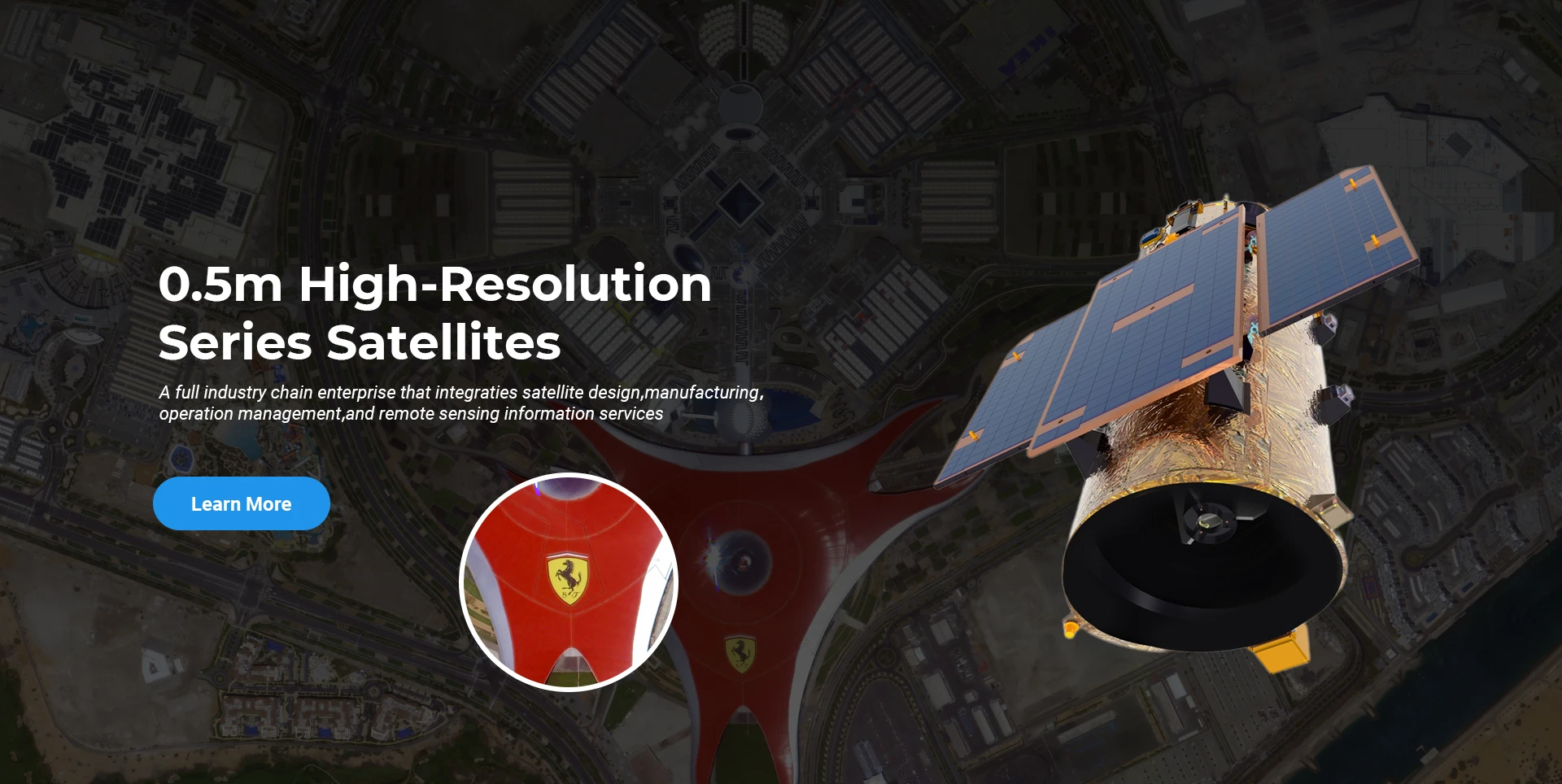
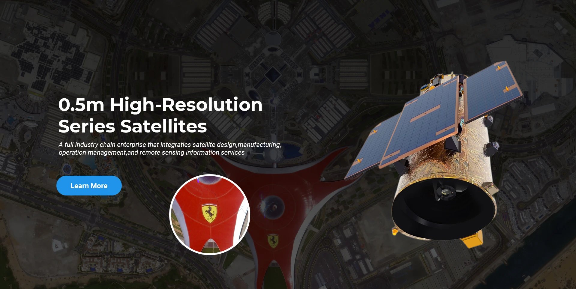
China satelliteChina satellite

Kosmoselaevad

OLEME PROFESSIONAALSED TEENUSTE PAKUJAD

SpaceNavi on alati järginud tipptasemel seadmete tootmise ja teabeteenuste integreeritud arendamise ärimudelit, keskendudes suure jõudlusega ja odavate satelliitide ning õhu-kosmose-maa integreeritud kaugseire teabeteenuste uurimis- ja arendustegevusele.
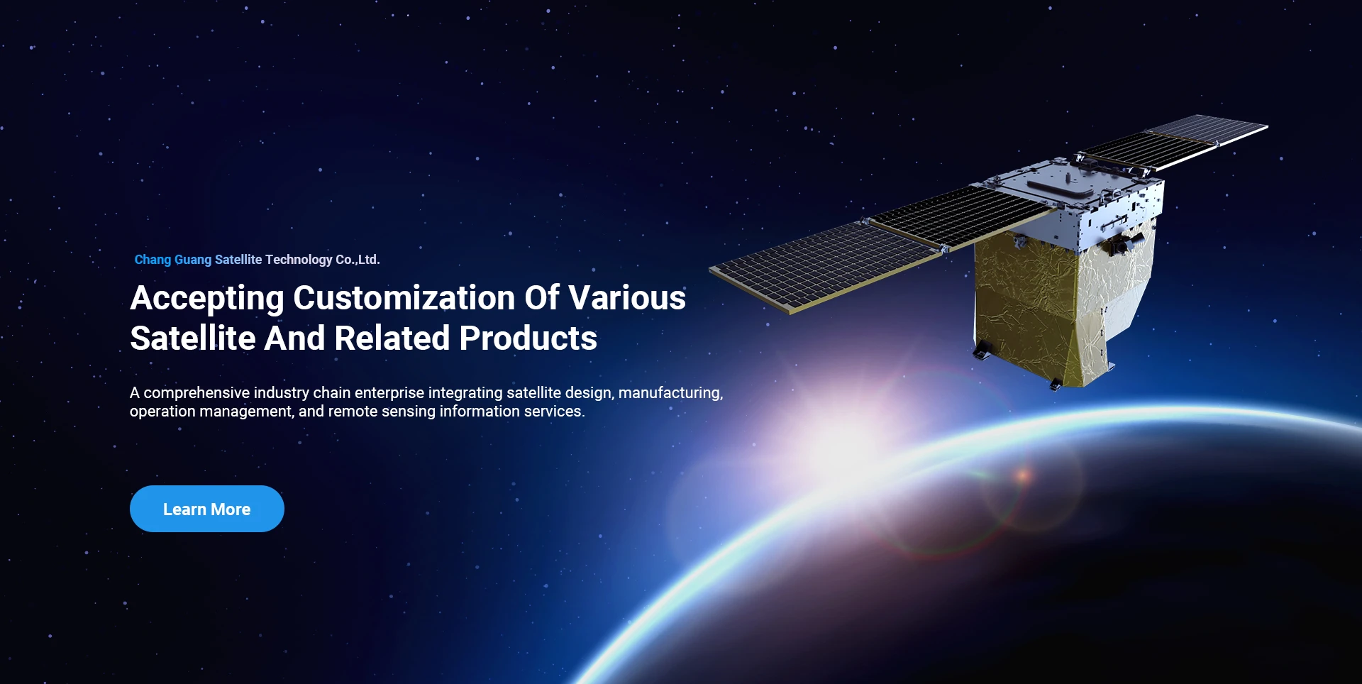
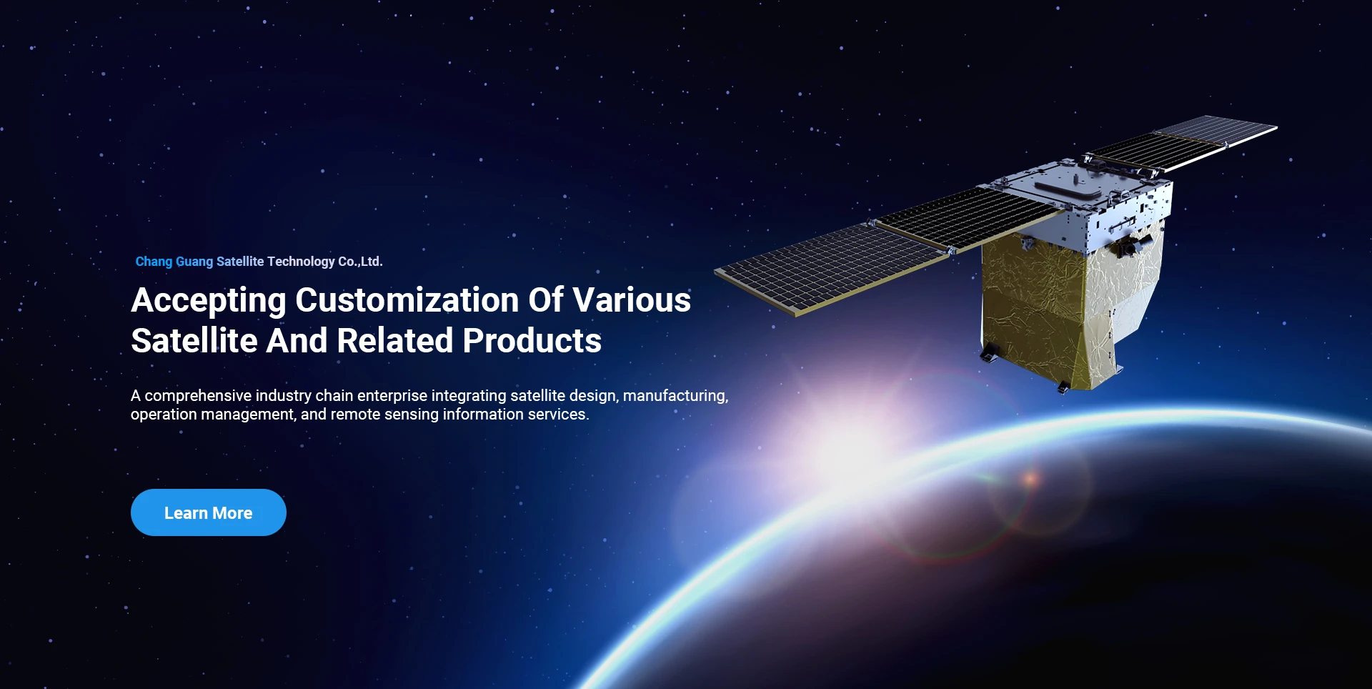
Satellite
high end equipment manufacturing high end equipment manufacturing

Kosmoselaevad annab klientidele kohandatud satelliidi tootmisteenustega.

Kui olete meie toodetest huvitatud, võite jätta oma andmed siia ja me võtame teiega peagi ühendust.

AERIAL

EDUKAID ÕHUKÜSIMUSED

Juhtumipõhine taotlus lendude jaoks

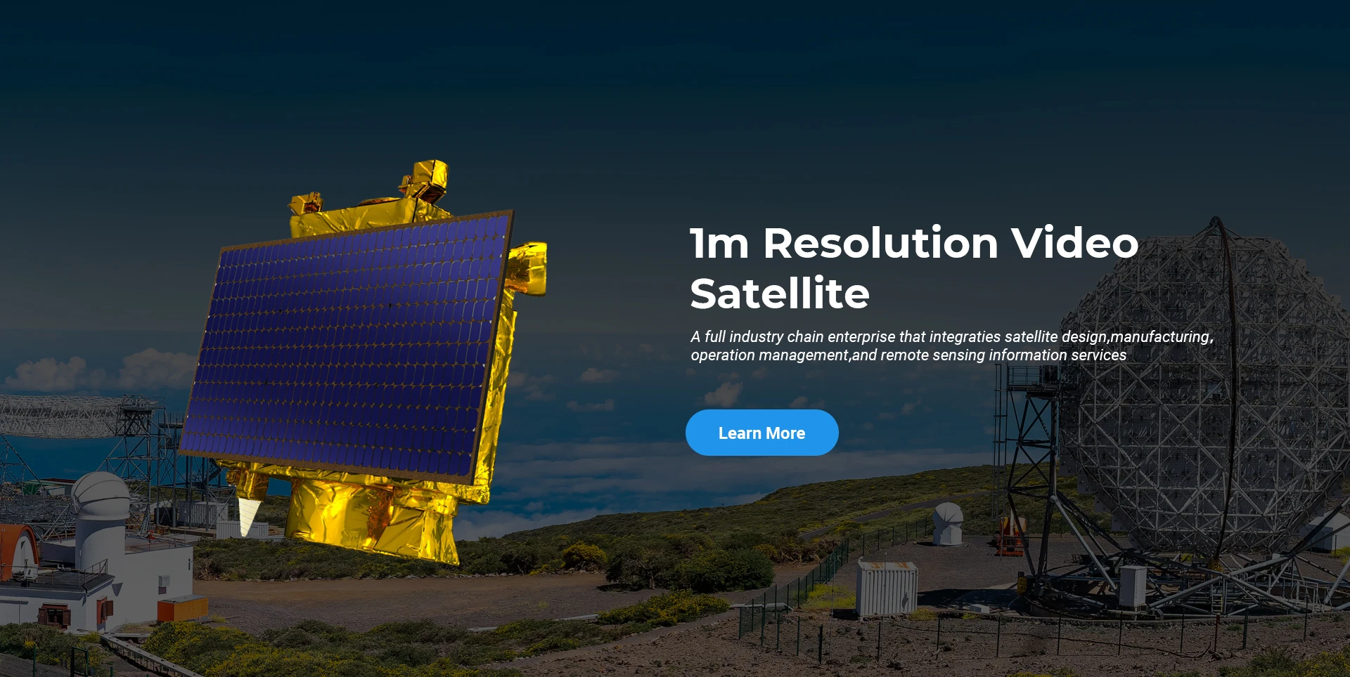
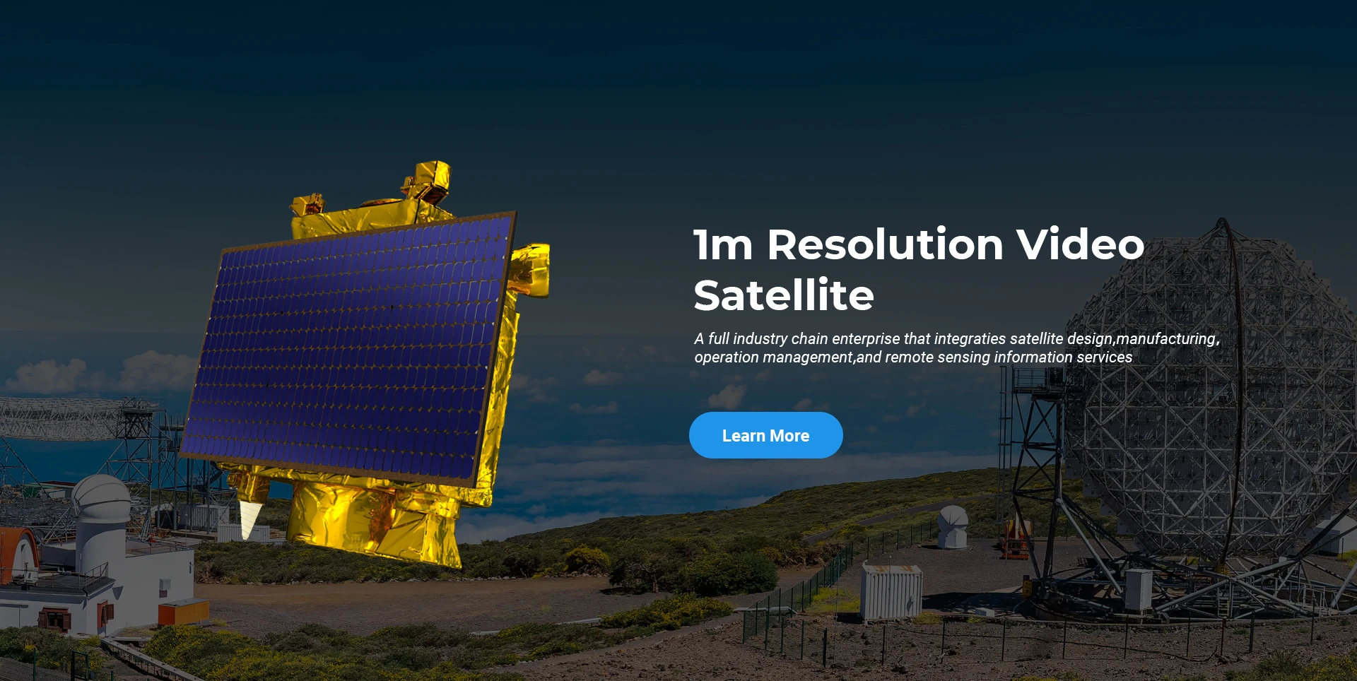
Kaugseire satelliit

Teadus- ja arendustegevuse tase

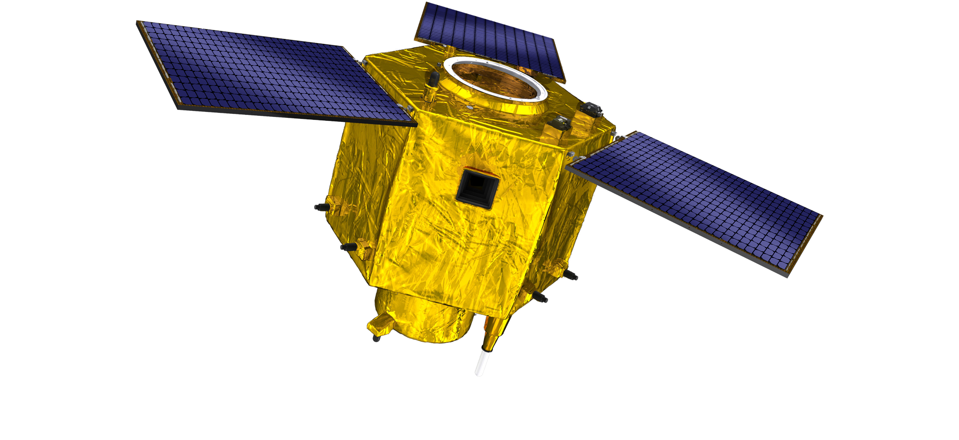
Satelliidi uurimis- ja arendustegevuse osas on satelliittehnoloogia arengusuundumuse ja kaubandusliku arendusrežiimi hinnangul põhitehniline meeskond murdnud läbi traditsioonilise disainikontseptsiooni ja võtnud kasutusele "satelliitplatvormi ja koormuse integreerimise" tehnilise tee. Pärast neljakordset edenemist kümne aasta jooksul on satelliidi kaal vähenenud 20 kg-ni, võrreldes esialgse põlvkonna 400 kg-ga.

Remote Sensing Satellite

Optilise töötluse ala

Tootmistingimused

Optilise töötlemise ala üldpind on 10000m2. See ala on võimeline ette võtma ülitäpsete optiliste komponentide masstootmise ning suudab töödelda klaaskeraamikast ja ränikarbiidist jne valmistatud optilisi komponente jämedast peeneks ning vastavat tuvastamist.

Optical Processing Area

Ettevõte ja tööstus

SPACENavi BLOG

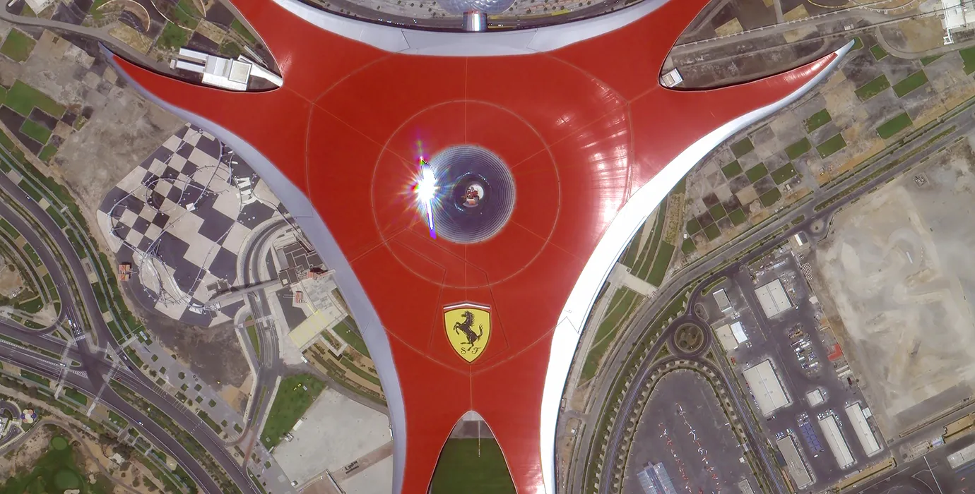
Praegu on ettevõte ehitanud maailma suurima alammeetriga kommertskaugseire satelliitide konstellatsiooni, millel on tugev teenindusvõimalus.

Aug, 25
28
What Is Remote Sensing in Geography: Exploring the Science of Earth Observation
Understanding what is remote sensing in Geography is fundamental to appreciating how modern science observes and analyzes the Earth’s surface and environment.
Aug, 25
28
Advantages of Remote Sensing: Unlocking New Perspectives on Earth Observation
The advantages of remote sensing have revolutionized how scientists, governments, and industries collect, analyze, and utilize information about our planet.
Aug, 25
28
Remote Sensing Process: The Essential Steps Behind Earth Observation
Understanding the remote sensing process is fundamental for anyone using satellite or aerial data to analyze the Earth's surface and atmosphere.
Aug, 25
28
Application of Remote Sensing: Transforming Earth Observation and Analysis
The application of remote sensing has revolutionized how scientists, governments, and industries monitor and manage Earth's resources and environments.
Aug, 25
28
Remote Sensing Data Examples: Exploring Diverse Sources of Earth Observation Information
The field of remote sensing relies heavily on the collection and analysis of various types of data to understand Earth's surface and atmosphere.
Aug, 25
28
Types of Remote Sensing: Understanding Different Approaches to Earth Observation
Remote sensing has become a cornerstone technology in geography, environmental science, and many other fields.
Aug, 25
27
Real-Time Satellite Imagery Free: Instant Access to Earth's Dynamic Changes
In today’s rapidly changing world, access to real-time satellite imagery free has become a vital resource for governments, scientists, businesses, and individuals who need up-to-date views of Earth’s surface.
Aug, 25
27
High Resolution Satellite App: Bringing Detailed Earth Imaging to Your Fingertips
In the age of digital technology and mobile computing, a high resolution satellite app has become an essential tool for users seeking to explore and analyze Earth’s surface directly from their smartphones or tablets.

Kui olete meie toodetest huvitatud, võite jätta oma andmed siia ja me võtame teiega peagi ühendust.