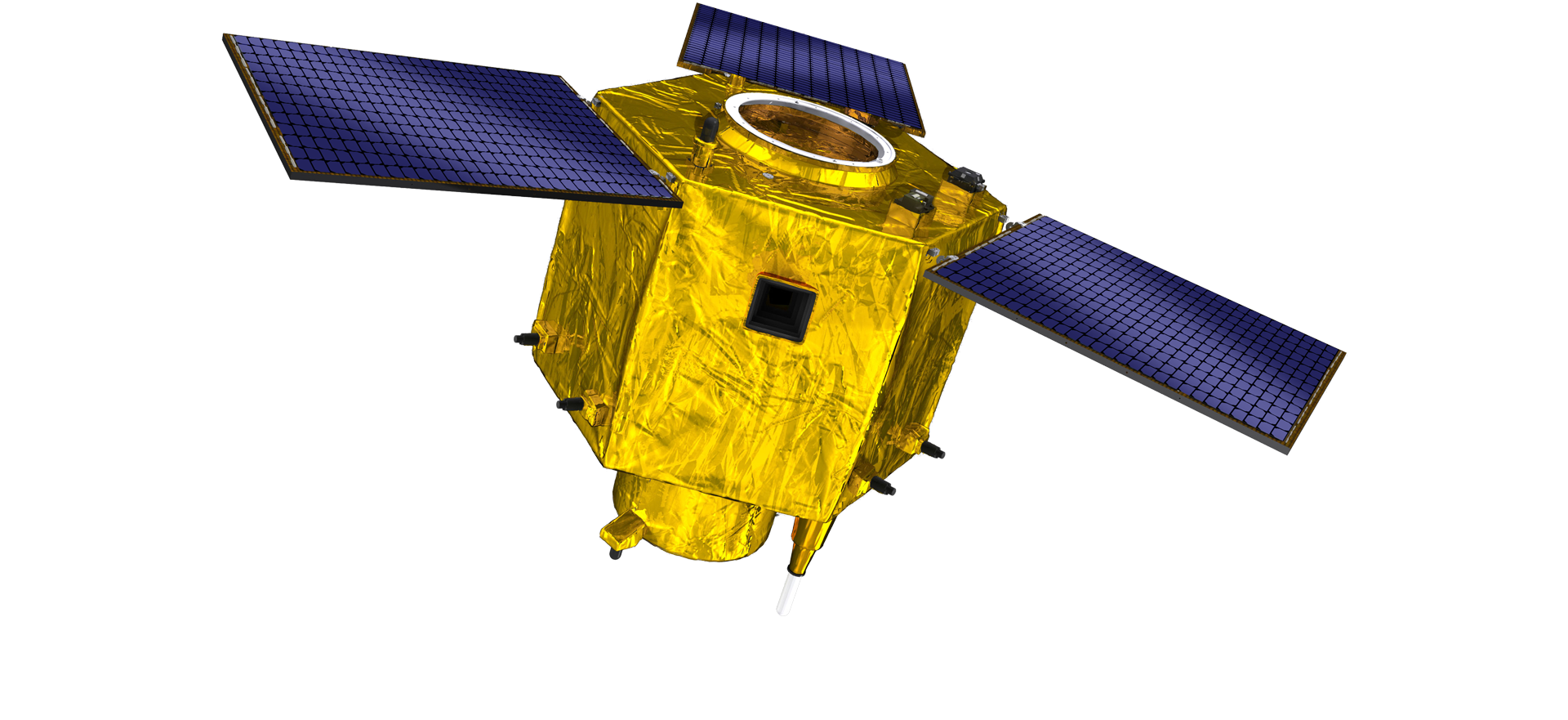
satellite data providerssatellite data providers
China satelliteChina satellite

Mga spaceship

KAMI PROFESSIONAL NGA SERBISYO NAGHATAG

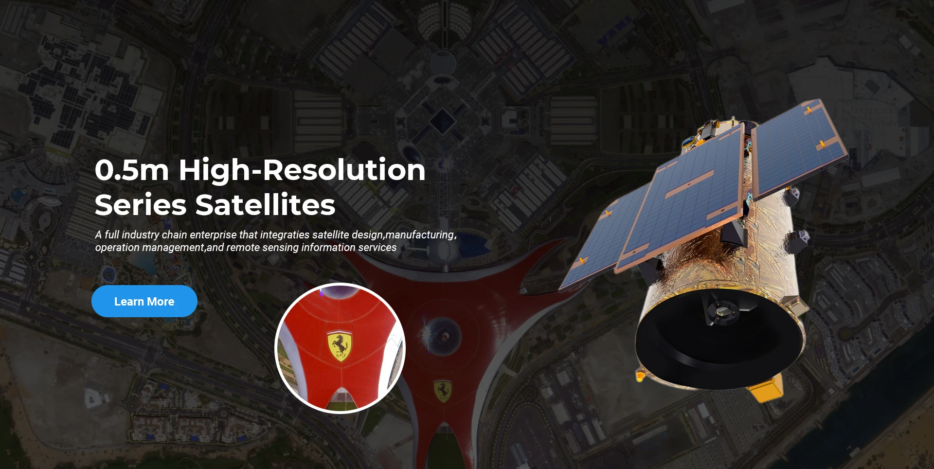
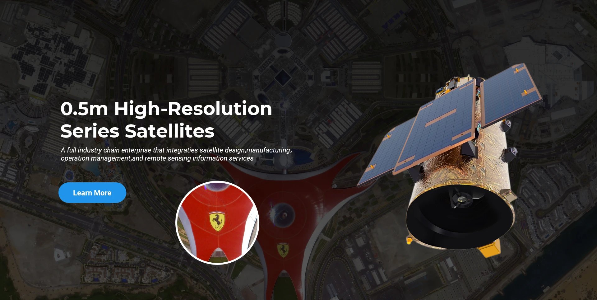
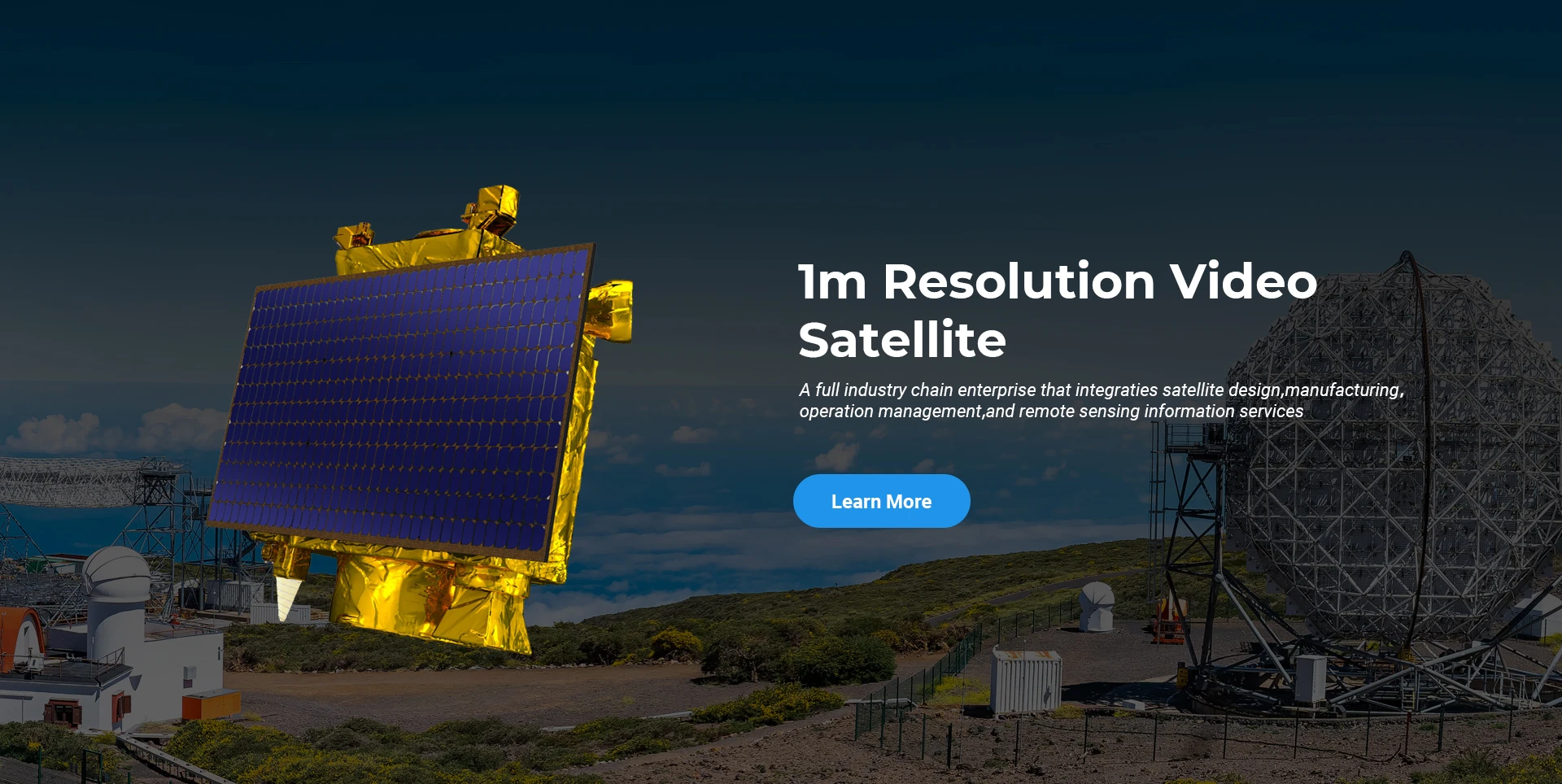
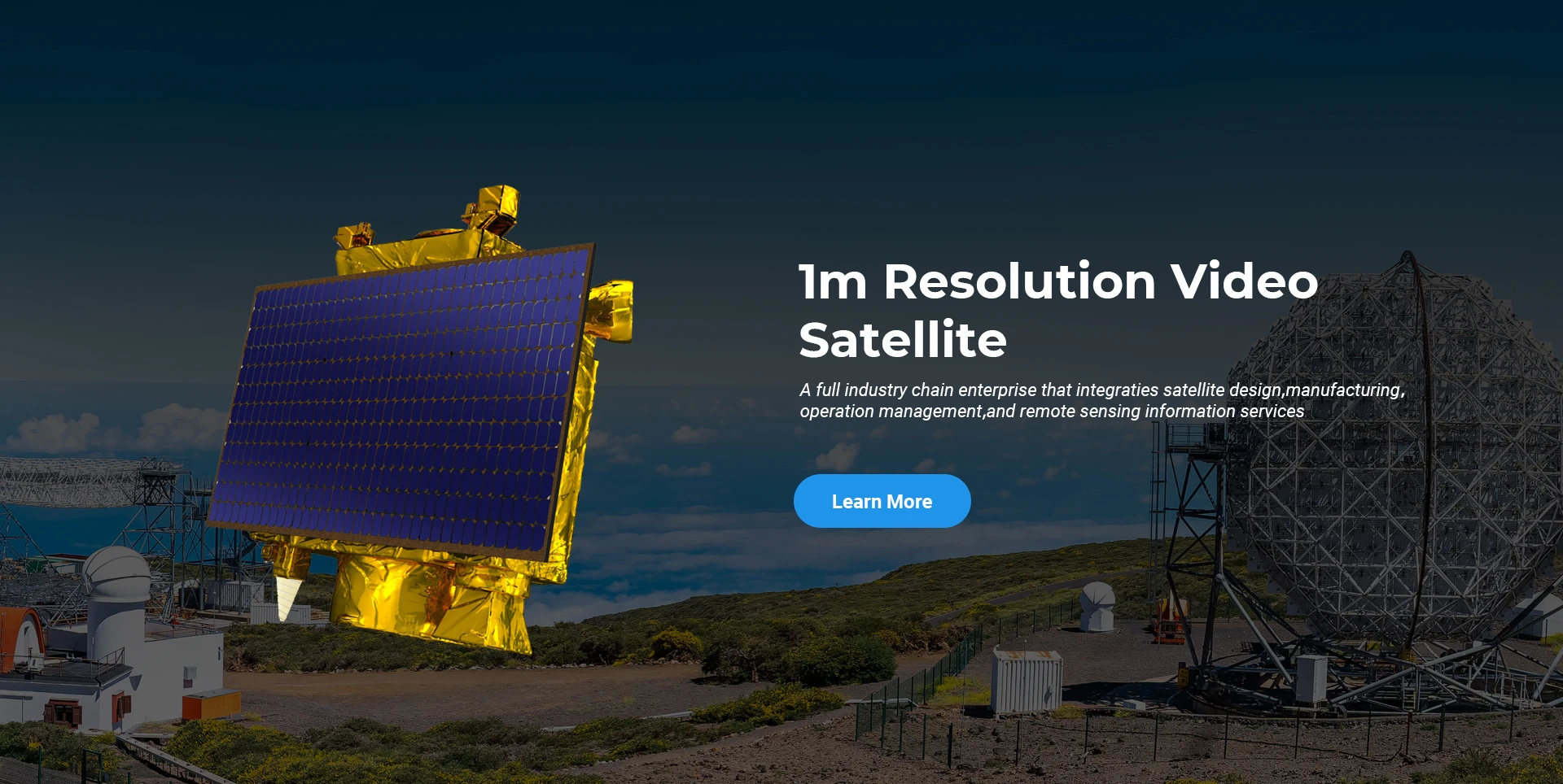
Ang SpaceNavi kanunay nga nagsunod sa modelo sa negosyo alang sa hiniusa nga pag-uswag sa mga high-end nga kagamitan sa paghimo ug mga serbisyo sa kasayuran, nga nagpunting sa panukiduki ug pagpauswag sa mga high-performance, ug mubu nga mga satellite ug ang air-space-ground integrated remote sensing information services.
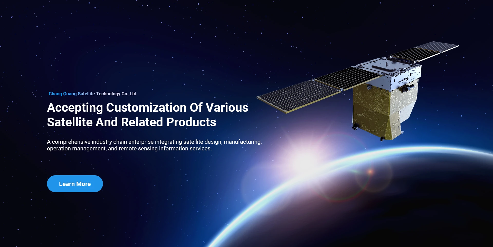
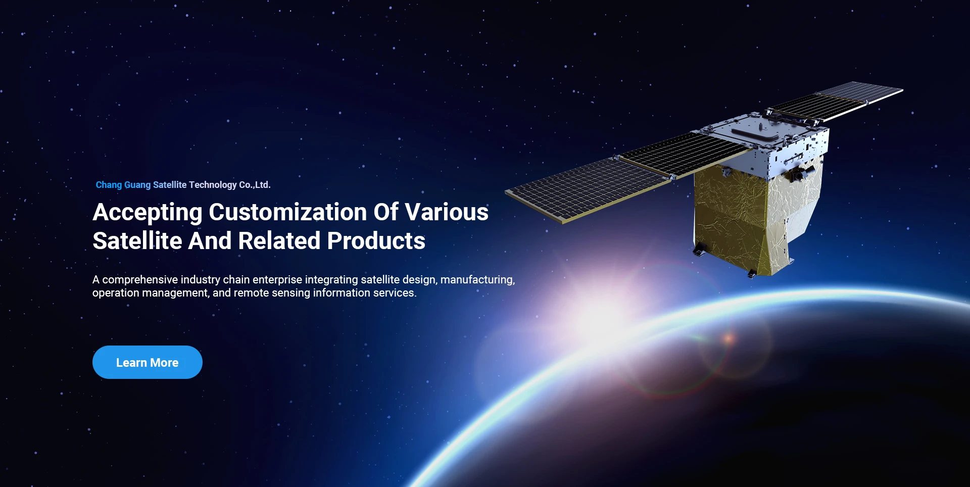
Satellite
high end equipment manufacturing high end equipment manufacturing

Mga spaceship naghatag mga kustomer nga adunay gipahiangay nga serbisyo sa paghimo sa satellite.

Kung interesado ka sa among mga produkto, mahimo nimong pilion nga ibilin ang imong kasayuran dinhi, ug makigkontak kami kanimo sa dili madugay.

AERIAL

MALAMPUSON NGA AERIAL SURVEYS

Case-by-case nga aplikasyon alang sa mga flight

Remote Sensing Satellite

Ang lebel sa R&D

Sa termino sa satellite R&D, subay sa hukom sa satellite technology development trend ug commercial development mode, ang core technical team nabuak sa tradisyonal nga disenyo nga konsepto ug gisagop ang teknikal nga ruta sa "satellite platform ug load integration". Human sa upat ka beses nga pag-uswag sulod sa napulo ka tuig, ang gibug-aton sa satellite mikunhod ngadto sa 20kg gikan sa 400kg sa unang henerasyon.

Remote Sensing Satellite

Optical Processing Area

Mga Kondisyon sa Produksyon

Ang kinatibuk-ang lugar sa optical processing area mao ang 10000m2. Kini nga lugar makahimo sa paghimo sa mass production sa high-precision optical components, ug adunay abilidad sa pagproseso sa optical components nga hinimo sa glass ceramics ug silicon carbide, ug uban pa gikan sa coarse to fine, ingon man sa katugbang nga detection.

Optical Processing Area

Kompanya ug Industriya

SPACENavi BLOG

Sa pagkakaron, ang kompanya nagtukod sa pinakadako nga submeter sa kalibutan nga komersyal nga remote sensing satellite constellation, nga adunay lig-on nga mga kapabilidad sa serbisyo.

Jun, 25
23
Unlocking Earth’s Secrets With Multispectral Satellite Imagery
In today’s era of data-driven decision-making, multispectral satellite imagery has become one of the most valuable tools for understanding and managing our planet.
Jun, 25
23
Harnessing The Power Of Multispectral Satellite Imagery For Sustainable Development
In the quest for sustainable development, multispectral satellite imagery has emerged as an indispensable tool.
Jun, 25
23
Advancing Environmental Monitoring With Multispectral Satellite Technology
The ability to observe Earth with clarity and precision has been revolutionized by the use of multispectral satellite systems.
Jun, 25
23
Innovations In Satellite Platform Design For Remote Sensing Applications
In the modern space industry, the development and evolution of the satellite platform have become essential to achieving accurate and efficient remote sensing missions.
Jun, 25
23
Satellite Platform Innovations Powering The Future Of Remote Sensing
As remote sensing technology advances at a rapid pace, the role of the satellite platform becomes increasingly central to mission success.
Jun, 25
23
The Evolution Of The Satellite Platform In Remote Sensing Technology
In recent years, the development of the satellite platform in remote sensing has fundamentally changed the way we monitor and interact with Earth.
Jun, 25
20
Exploring the Types of Satellite Internet and Communication Technologies Shaping the Digital Frontier
As the demand for global connectivity continues to grow, satellite-based solutions are rapidly evolving to bridge the digital divide.
Jun, 25
20
Understanding Satellite Bus Structures and Platforms in Remote Sensing Applications
In the rapidly advancing aerospace industry, the satellite platform plays a central role in mission success.

Kung interesado ka sa among mga produkto, mahimo nimong pilion nga ibilin ang imong kasayuran dinhi, ug makigkontak kami kanimo sa dili madugay.