Tag/frame grabber
-
 Night-Time Camera With A Resolution Of 50m
 -
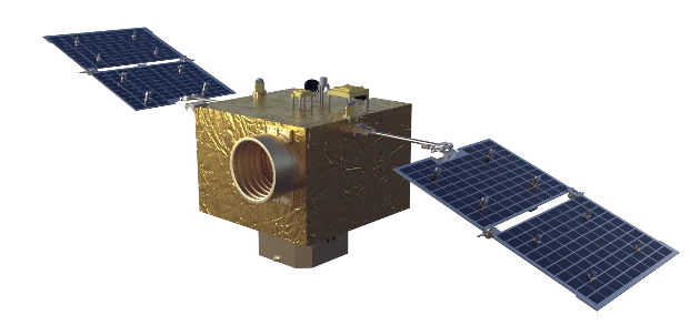 Flight Platform
 -
 Multispectral Camera With A Resolution Of 5m
 -
 CMOS Focal Plane
 -
 Large Swath Camera with Width of 150km
 -
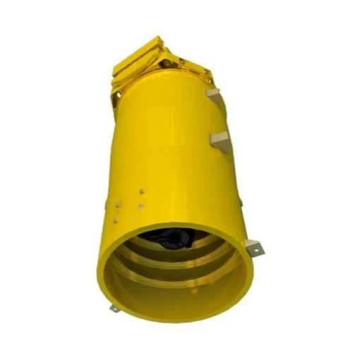 Push-Broom Camera With A Resolution Of 0.5m
 -
 Fundus Imager
 -
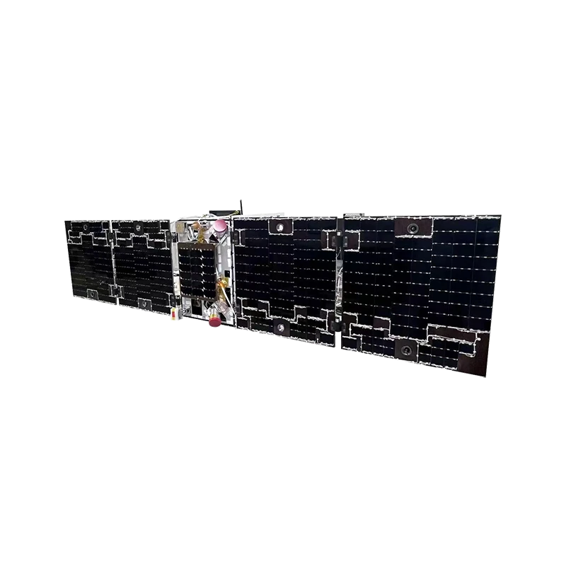 Folding and unfolding mechanism
 -
 Space-Level Perovskite Solar Cell
 -
 Forestry Application
Produtct Title
frame grabber-
Energy Finance Field Application

-
Star Sensor

-
Separating Nut

-
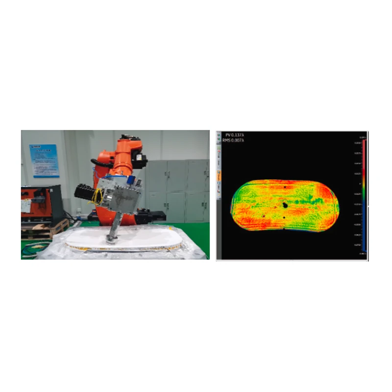
Intelligent And Efficient Robot CNC Polishing System
-
Power Distribution And Thermal Control Management Unit

-
Collimator

-
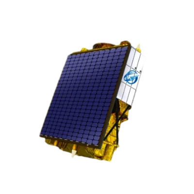
Multispectral GP Satellite
-
Power Controller

-
Perovskite Solar Arrays

-
Telecomand and Telemetry and Transmission Products

-
Technical Specifications of Changguang TW Series UAV

-
Water Conservancy Products And Services

-
Phase-Transformation Heat Pipe

-
Magnetometer

Related News
-
2025-04-24Ultra-Fast Satellite Communication Solutions for LEO Networks & Night Vision Tech
-
2025-04-23Ultra-Fast Satellite Communication Solutions for LEO Networks & Night Vision Tech
-
2025-04-24Ultra-Fast Satellite Communication Solutions for LEO Networks & Night Vision Tech
-
2025-04-24Ultra-Fast Satellite Communication Solutions for LEO Networks & Night Vision Tech
-
2025-04-24Ultra-Fast Satellite Communication Solutions for LEO Networks & Night Vision Tech
-
2025-04-24Ultra-Fast Satellite Communication Solutions for LEO Networks & Night Vision Tech
-
2025-04-23Ultra-Fast Satellite Communication Solutions for LEO Networks & Night Vision Tech
-
2025-04-14Perovskite Solar Cell Cost High-Efficiency & Affordable Renewable Energy Solutions
-
2025-05-23Satellite Components Empowering the Future of Aerospace InnovationIn a rapidly evolving aerospace industry, the demand for reliable, high-performance satellite components continues to grow.
-
2025-04-23Ultra-Fast Satellite Communication Solutions for LEO Networks & Night Vision Tech
-
2025-04-24Ultra-Fast Satellite Communication Solutions for LEO Networks & Night Vision Tech
-
2025-04-23Ultra-Fast Satellite Communication Solutions for LEO Networks & Night Vision Tech
-
2025-05-28How to Get Up-to-Date Satellite Images in Real-Time High-Resolution DataAccess the latest satellite imagery with real-time updates and high-resolution precision. Ideal for disaster monitoring, urban planning, and environmental research. Explore affordable plans and start tracking global changes today!
-
2025-04-21High-Precision Optical Emission Spectrograph Rapid Elemental Analysis Solutions
-
2025-04-23Ultra-Fast Satellite Communication Solutions for LEO Networks & Night Vision Tech
-
2025-04-23Ultra-Fast Satellite Communication Solutions for LEO Networks & Night Vision Tech
-
2025-04-23Ultra-Fast Satellite Communication Solutions for LEO Networks & Night Vision Tech
-
2025-04-23Ultra-Fast Satellite Communication Solutions for LEO Networks & Night Vision Tech
-
2025-04-13Satellite Communication (SATCOM) Technology Global Connectivity Solutions for Remote & Mobile Networks.container {font-family: 'Segoe UI', Arial, sans-serif;
-
2025-04-23Ultra-Fast Satellite Communication Solutions for LEO Networks & Night Vision Tech
Related Search
- frame grabber
- hyperspectral imaging upsc
- duovox night vision
- global mobile personal communications by satellite
- solar wing
- small satellite technology
- satellite based positioning system
- regional navigation satellite system
- infrared night vision
- electricity circuit
- vsat services
- cg satellite
- image rendering
- camera structure
- high-resolution camera
- optical satellite communication
- perovskite solar panels buy
- spark optical emission spectrometer
- optical clinometer
- high powered camera
- small satellite
- attitude control in satellite communication
- kamera night vision
- cloud storage
- color night vision
- satellite internet starlink
- camera video night vision
- used for satellite communication
- professional night vision camera
- new satellite technology