هاتف:+86 13943095588
satellite data providerssatellite data providers
China satelliteChina satellite

سفن الفضاء

نحن مقدمي خدمات محترفين

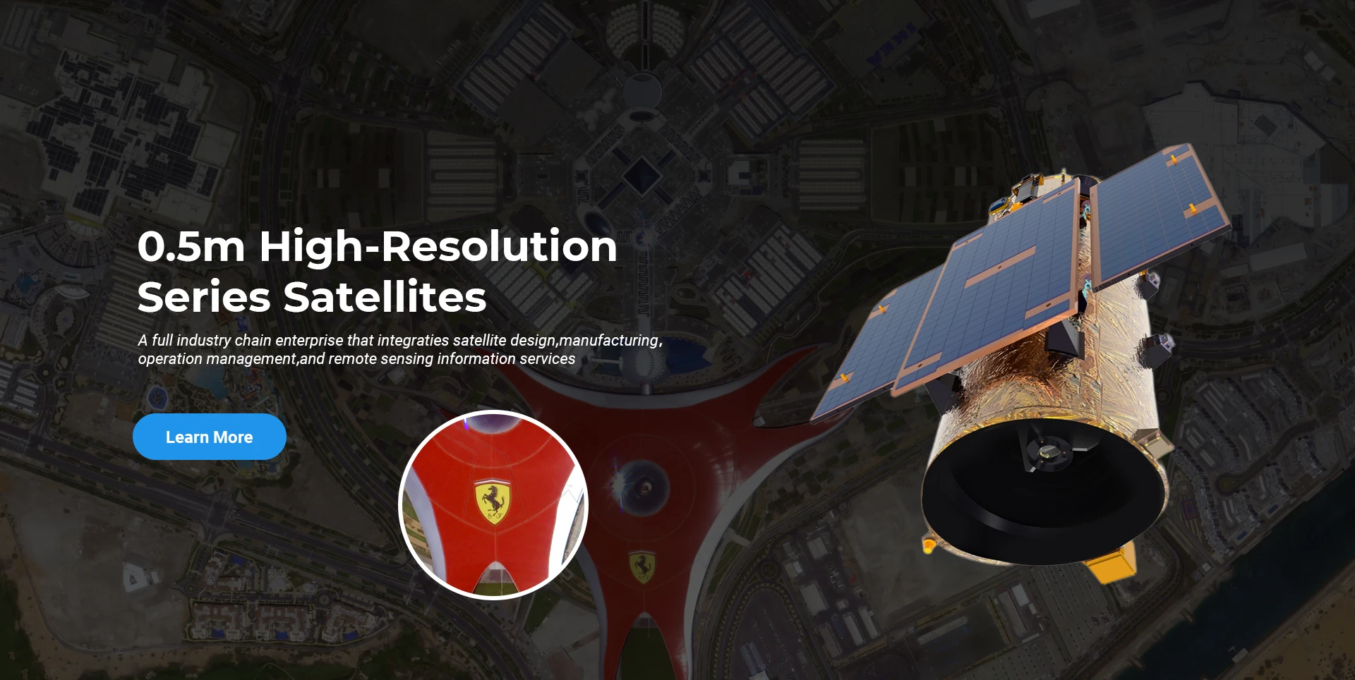
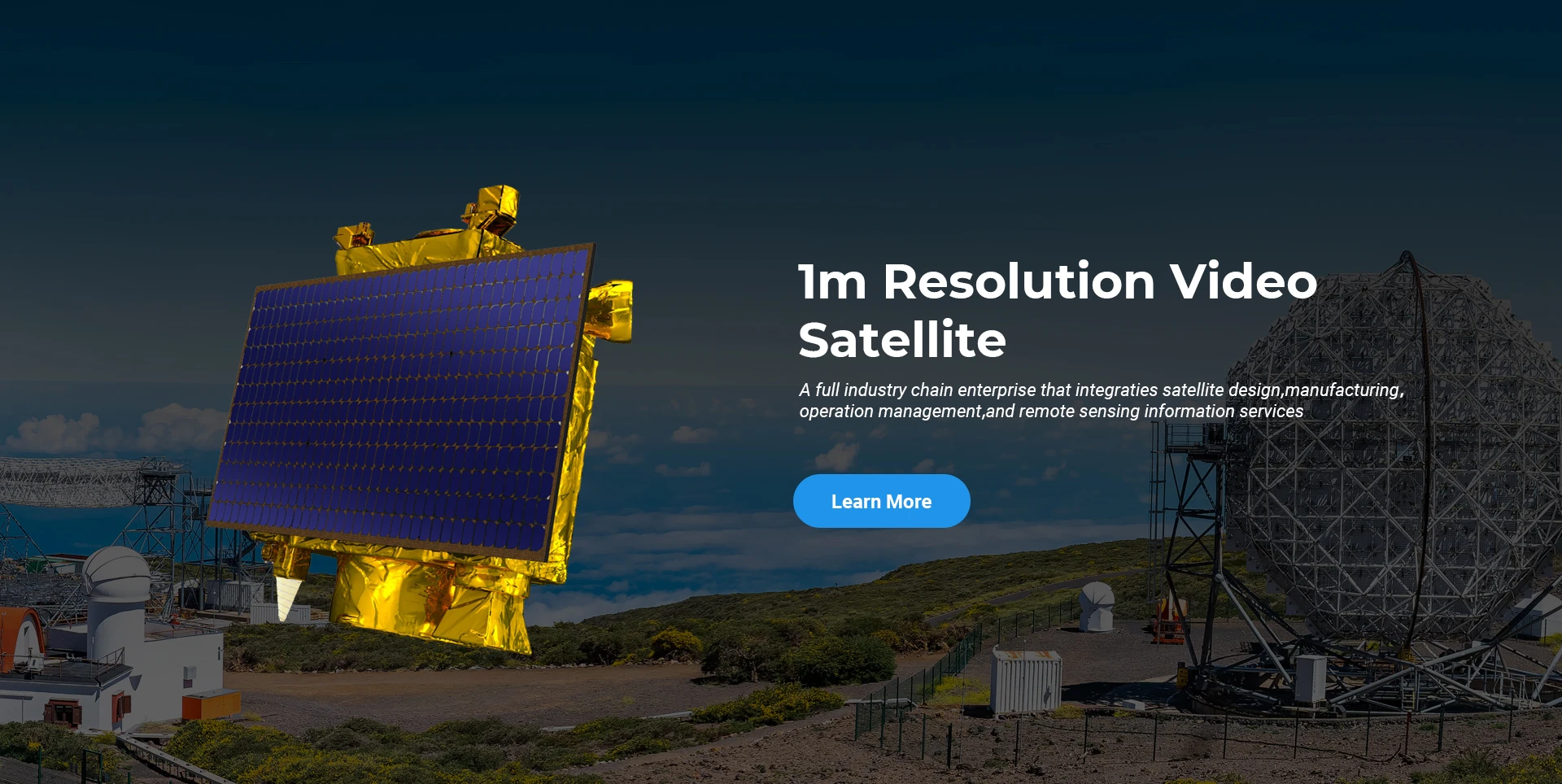
تلتزم شركة SpaceNavi دائمًا بنموذج الأعمال الخاص بالتطوير المتكامل لتصنيع المعدات المتطورة وخدمات المعلومات، مع التركيز على البحث والتطوير للأقمار الصناعية عالية الأداء ومنخفضة التكلفة وخدمات المعلومات الاستشعارية عن بعد المتكاملة جوًا وفضائيًا وأرضيًا.
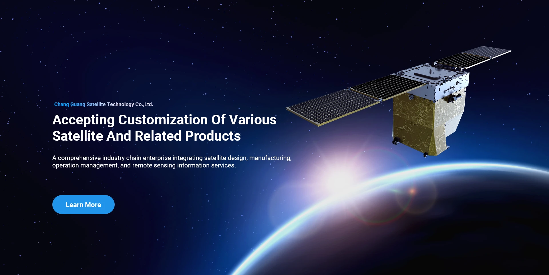
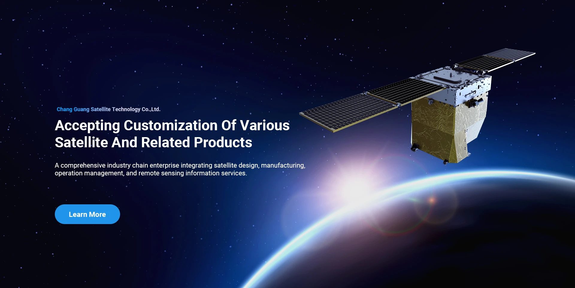
Satellite
high end equipment manufacturing high end equipment manufacturing

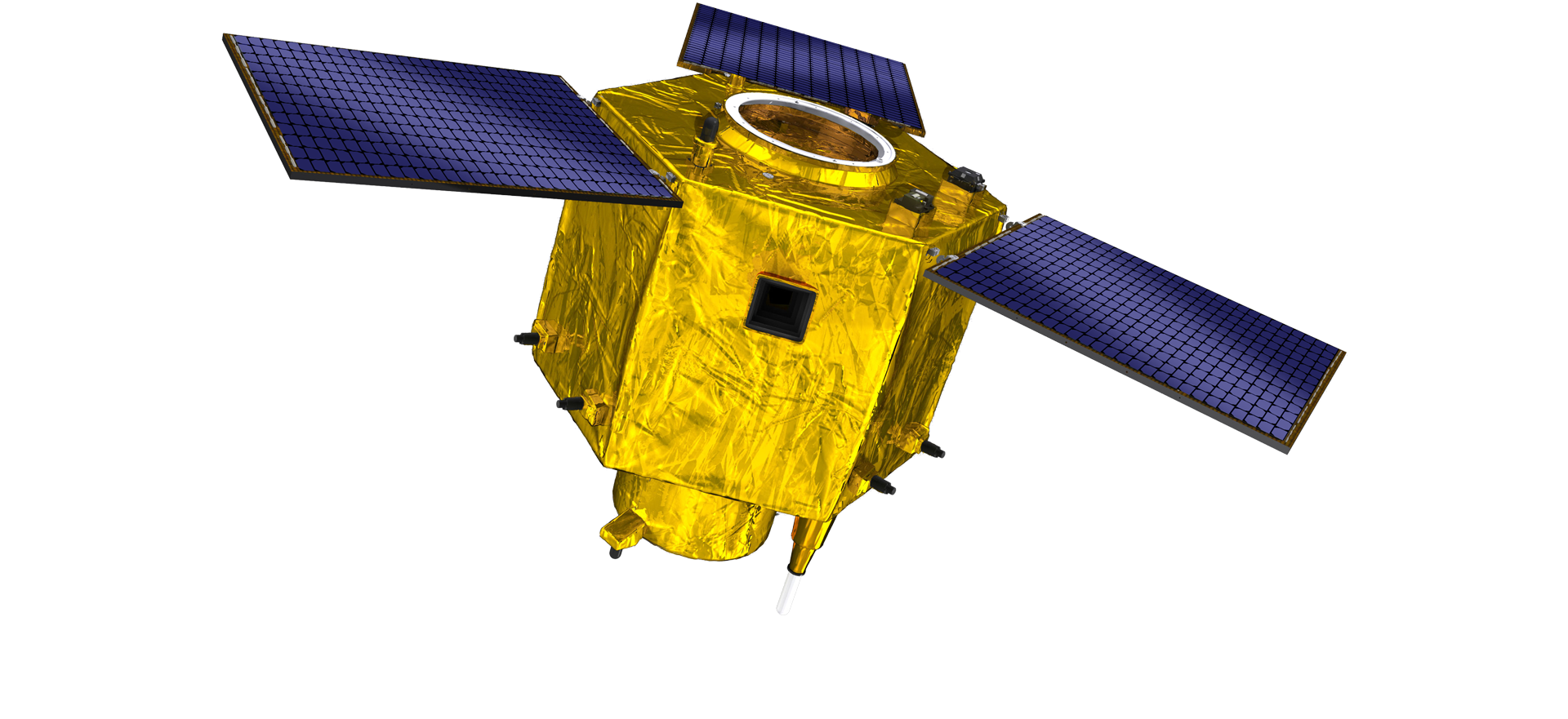
سفن الفضاء يوفر العملاء مع خدمات تصنيع الأقمار الصناعية المخصصة.

إذا كنت مهتمًا بمنتجاتنا، فيمكنك اختيار ترك معلوماتك هنا، وسنتواصل معك قريبًا.

جوي

المسوحات الجوية الناجحة

تطبيق كل حالة على حدة للرحلات الجوية

الاستشعار عن بعد عبر الأقمار الصناعية

مستوى البحث والتطوير

من حيث البحث والتطوير للأقمار الصناعية، ووفقًا لحكم اتجاه تطوير تكنولوجيا الأقمار الصناعية ونمط التطوير التجاري، اخترق الفريق الفني الأساسي مفهوم التصميم التقليدي واعتمد المسار الفني "منصة القمر الصناعي ودمج الحمل". بعد أربع مرات من التقدم في عشر سنوات، تم تقليل وزن القمر الصناعي إلى 20 كجم من 400 كجم في الجيل الأولي.

Remote Sensing Satellite

منطقة المعالجة البصرية

ظروف الإنتاج

تبلغ المساحة الإجمالية لمنطقة المعالجة البصرية 10000 متر مربع. هذه المنطقة قادرة على القيام بالإنتاج الضخم للمكونات البصرية عالية الدقة، ولديها القدرة على معالجة المكونات البصرية المصنوعة من السيراميك الزجاجي وكربيد السيليكون، وما إلى ذلك من الخشن إلى الناعم، فضلاً عن الكشف المقابل.

Optical Processing Area

الشركة والصناعة

مدونة سبيس إنفي

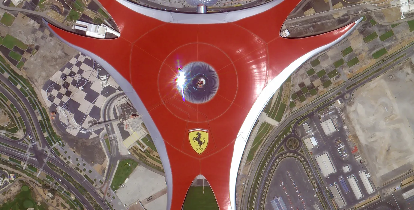
في الوقت الحاضر، قامت الشركة ببناء أكبر كوكبة من الأقمار الصناعية للاستشعار عن بعد التجارية في العالم، مع قدرات خدمة قوية.

Aug, 25
28
What Is Remote Sensing in Geography: Exploring the Science of Earth Observation
Understanding what is remote sensing in Geography is fundamental to appreciating how modern science observes and analyzes the Earth’s surface and environment.
Aug, 25
28
Advantages of Remote Sensing: Unlocking New Perspectives on Earth Observation
The advantages of remote sensing have revolutionized how scientists, governments, and industries collect, analyze, and utilize information about our planet.
Aug, 25
28
Remote Sensing Process: The Essential Steps Behind Earth Observation
Understanding the remote sensing process is fundamental for anyone using satellite or aerial data to analyze the Earth's surface and atmosphere.
Aug, 25
28
Application of Remote Sensing: Transforming Earth Observation and Analysis
The application of remote sensing has revolutionized how scientists, governments, and industries monitor and manage Earth's resources and environments.
Aug, 25
28
Remote Sensing Data Examples: Exploring Diverse Sources of Earth Observation Information
The field of remote sensing relies heavily on the collection and analysis of various types of data to understand Earth's surface and atmosphere.
Aug, 25
28
Types of Remote Sensing: Understanding Different Approaches to Earth Observation
Remote sensing has become a cornerstone technology in geography, environmental science, and many other fields.
Aug, 25
27
Real-Time Satellite Imagery Free: Instant Access to Earth's Dynamic Changes
In today’s rapidly changing world, access to real-time satellite imagery free has become a vital resource for governments, scientists, businesses, and individuals who need up-to-date views of Earth’s surface.
Aug, 25
27
High Resolution Satellite App: Bringing Detailed Earth Imaging to Your Fingertips
In the age of digital technology and mobile computing, a high resolution satellite app has become an essential tool for users seeking to explore and analyze Earth’s surface directly from their smartphones or tablets.

إذا كنت مهتمًا بمنتجاتنا، فيمكنك اختيار ترك معلوماتك هنا، وسنتواصل معك قريبًا.