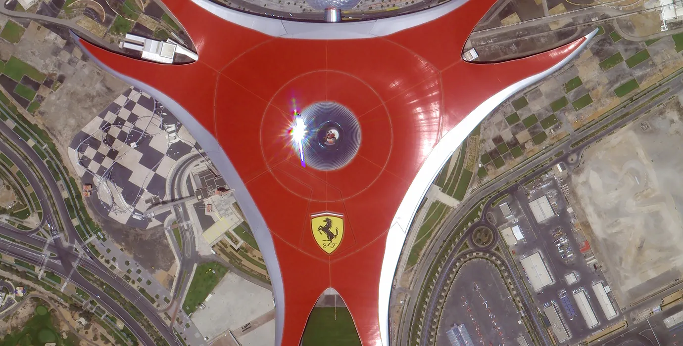
satellite data providerssatellite data providers
China satelliteChina satellite

Ruimteskepe

ONS IS PROFESSIONELE DIENSVERSKAFERS

SpaceNavi het nog altyd by die sakemodel gehou vir die geïntegreerde ontwikkeling van hoë-end toerusting vervaardiging en inligting dienste, met die fokus op die navorsing en ontwikkeling van hoë-prestasie, en laekoste satelliete en die lug-ruimte-grond geïntegreerde afstandwaarneming inligting dienste.
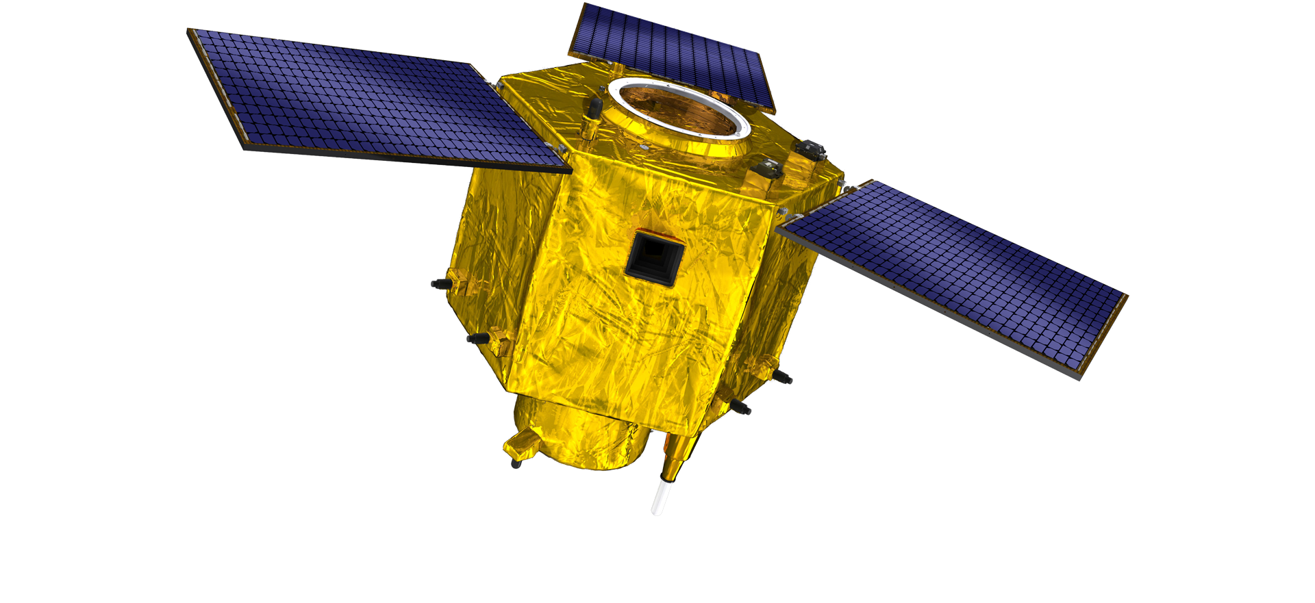
Satellite
high end equipment manufacturing high end equipment manufacturing

Ruimteskepe verskaf kliënte met pasgemaakte satellietvervaardigingsdienste.

As jy belangstel in ons produkte, kan jy kies om jou inligting hier te los, en ons sal binnekort met jou in verbinding tree.

LUG

SUKSESVOLLE LUGOPNAMES

Toepassing van geval tot geval vir vlugte

Afstandwaarneming satelliet

R&D-vlak

In terme van satelliet R&D, in ooreenstemming met die oordeel van satelliettegnologie-ontwikkelingstendens en kommersiële ontwikkelingsmodus, het die kerntegniese span deur die tradisionele ontwerpkonsep gebreek en die tegniese roete van "satellietplatform en lasintegrasie" aangeneem. Na vier keer van vordering in tien jaar, is die gewig van die satelliet verminder tot 20 kg vanaf 400 kg van die aanvanklike generasie.

Remote Sensing Satellite

Optiese verwerkingsarea

Produksie voorwaardes

Die totale oppervlakte van die optiese verwerkingsarea is 10000m2. Hierdie area is in staat om die massaproduksie van hoë-presisie optiese komponente te onderneem, en het die vermoë om optiese komponente gemaak van glaskeramiek en silikonkarbied, ens. van grof tot fyn te verwerk, asook ooreenstemmende opsporing.

Optical Processing Area

Maatskappy en nywerheid

SPACENavi BLOG

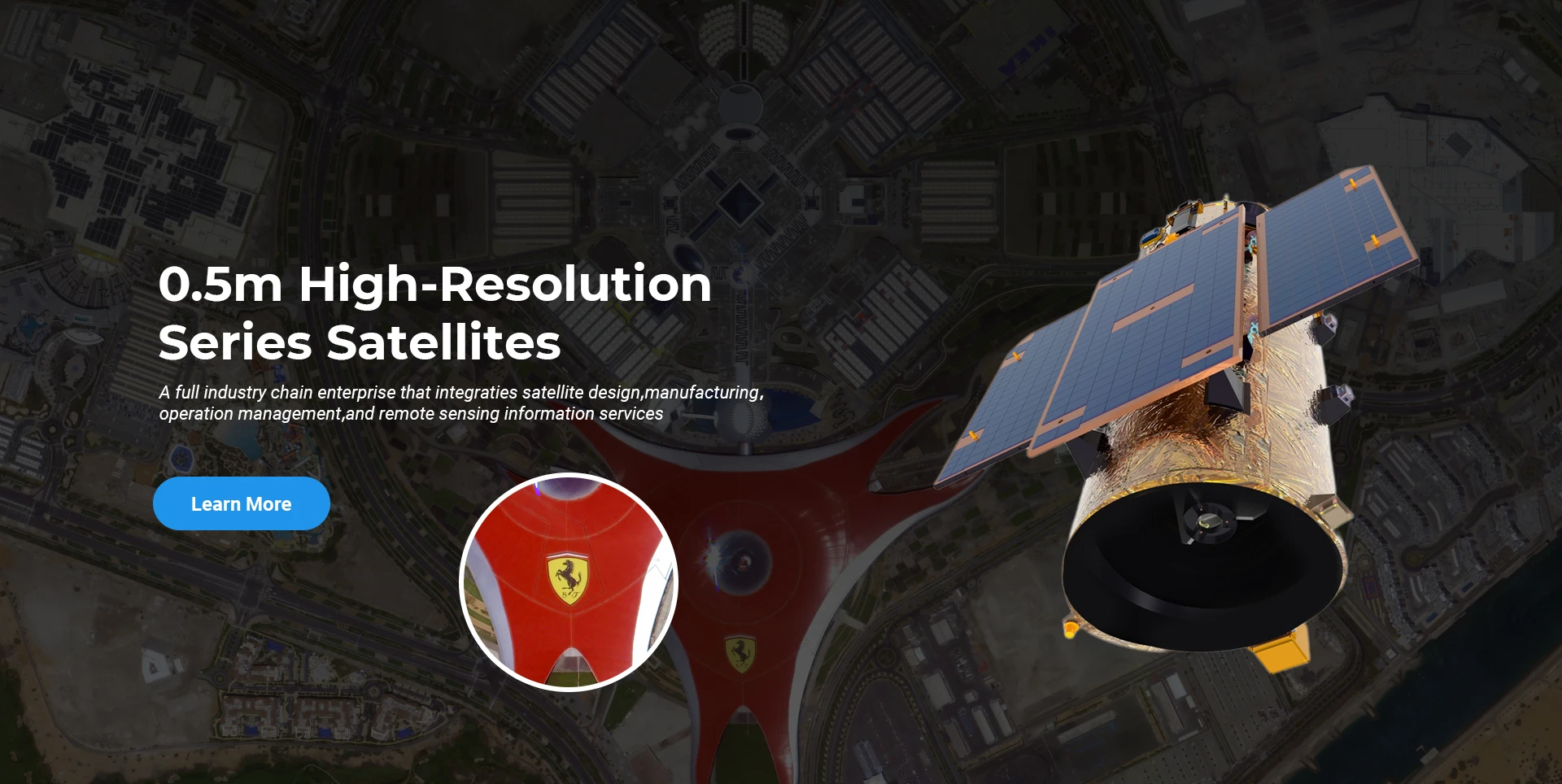
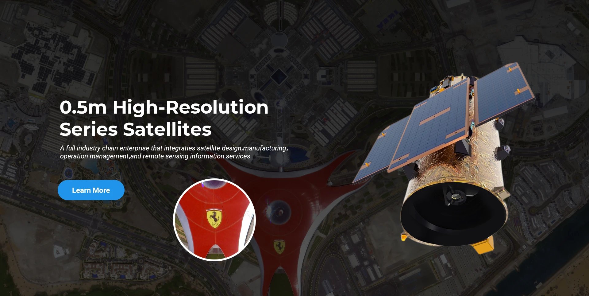
Op die oomblik het die maatskappy die wêreld se grootste submeter kommersiële afstandwaarneming satellietkonstellasie gebou, met sterk diensvermoëns.

Jun, 25
25
Enhancing Modern Security Systems with High Resolution Cameras
In today’s rapidly evolving world, maintaining safety across public spaces, private facilities, and critical infrastructure has never been more crucial.
Jun, 25
25
Advancing Space Observation with High Resolution Cameras
Space-based technologies have revolutionized the way we observe Earth, monitor environmental changes, and explore the universe.
Jun, 25
25
Elevating Remote Sensing and Research with High Resolution Cameras
In the fields of environmental monitoring, aerospace, and scientific discovery, seeing more means knowing more.
Jun, 25
25
Driving Industrial Innovation with High Resolution Cameras
In the age of Industry 4.0, the integration of vision-based technologies into automated production lines is reshaping the way industries ensure quality and efficiency.
Jun, 25
24
Advancing Earth Observation Through Cutting-Edge Satellite Platforms in Remote Sensing
The evolution of space technology has transformed how humanity observes and interacts with our planet.
Jun, 25
24
Revolutionizing Earth Observation with Satellite Platforms in Remote Sensing
In the rapidly evolving field of space technology, the satellite platform has become the foundation of modern Earth observation and remote sensing missions.
Jun, 25
24
Innovative Satellite Platforms Driving the Future of Remote Sensing
The landscape of space technology is rapidly transforming thanks to the evolution of the satellite platform.
Jun, 25
24
Optimizing Space Missions with Advanced Satellite SFS Solutions
The rapid expansion of space exploration and satellite deployment demands cutting-edge software technologies, making satellite SFS (Satellite Flight Software) an essential element for mission success.

As jy belangstel in ons produkte, kan jy kies om jou inligting hier te los, en ons sal binnekort met jou in verbinding tree.