- Afrikaans
- Albanian
- Amharic
- Arabic
- Armenian
- Azerbaijani
- Basque
- Belarusian
- Bengali
- Bosnian
- Bulgarian
- Catalan
- Cebuano
- China
- Corsican
- Croatian
- Czech
- Danish
- Dutch
- English
- Esperanto
- Estonian
- Finnish
- French
- Frisian
- Galician
- Georgian
- German
- Greek
- Gujarati
- Haitian Creole
- hausa
- hawaiian
- Hebrew
- Hindi
- Miao
- Hungarian
- Icelandic
- igbo
- Indonesian
- irish
- Italian
- Japanese
- Javanese
- Kannada
- kazakh
- Khmer
- Rwandese
- Korean
- Kurdish
- Kyrgyz
- Lao
- Latin
- Latvian
- Lithuanian
- Luxembourgish
- Macedonian
- Malgashi
- Malay
- Malayalam
- Maltese
- Maori
- Marathi
- Mongolian
- Myanmar
- Nepali
- Norwegian
- Norwegian
- Occitan
- Pashto
- Persian
- Polish
- Portuguese
- Punjabi
- Romanian
- Russian
- Samoan
- Scottish Gaelic
- Serbian
- Sesotho
- Shona
- Sindhi
- Sinhala
- Slovak
- Slovenian
- Somali
- Spanish
- Sundanese
- Swahili
- Swedish
- Tagalog
- Tajik
- Tamil
- Tatar
- Telugu
- Thai
- Turkish
- Turkmen
- Ukrainian
- Urdu
- Uighur
- Uzbek
- Vietnamese
- Welsh
- Bantu
- Yiddish
- Yoruba
- Zulu
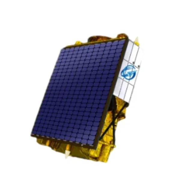
Harnessing The Power Of Multispectral Satellite Imagery For Advanced Earth Observation
In recent years, multispectral satellite technology has revolutionized the way scientists, governments, and businesses observe and analyze the Earth’s surface. By capturing data across multiple wavelengths beyond the visible spectrum, multispectral satellite imagery provides detailed insights into environmental conditions, agriculture, forestry, and urban development. This advanced form of remote sensing is transforming decision-making processes and enabling more sustainable resource management worldwide.

Understanding Multispectral Satellite Technology
A multispectral satellite collects data in several distinct spectral bands, typically including visible, near-infrared, and shortwave infrared wavelengths. Unlike traditional imaging that captures only visible light, multi spectral satellite imagery reveals features invisible to the naked eye, such as vegetation health, soil moisture, and water quality.
The ability to differentiate between materials and conditions on the ground makes multispectral satellite imagery an invaluable tool across many applications. For example, in agriculture, these images help farmers monitor crop stress and optimize irrigation, while in forestry, they assist in tracking deforestation and forest health.
Applications Of Multispectral Satellite Imagery
The use of multispectral satellite imagery spans a broad range of industries and research areas. Environmental monitoring benefits from the technology by detecting changes in land use, monitoring wetlands, and assessing natural disaster impacts such as floods or wildfires.
Urban planners utilize multispectral satellite data to analyze surface temperatures, identify urban heat islands, and plan green spaces. Meanwhile, water resource managers track sediment and algae blooms in lakes and coastal areas using specific spectral bands unique to water bodies.
With continual improvements in satellite sensors and data processing, the accuracy and accessibility of multispectral satellite imagery continue to grow, empowering stakeholders to make data-driven decisions.
Integration With Modern Satellite Communication Services
Access to multispectral satellite imagery is facilitated by advances in satellite technology and communication networks. High-speed satellite internet and VSAT systems enable rapid data transmission from orbit to ground stations, ensuring timely delivery of imagery for analysis.
Many organizations now use satellite as a service platforms that bundle multispectral data access with analytical tools and cloud-based processing. This integration allows for real-time monitoring and rapid response, even in remote or underserved regions where traditional connectivity is limited.
In summary, multispectral satellite and its associated multispectral satellite imagery have become cornerstones of modern Earth observation. By providing detailed, multi-band data, these technologies support sustainable development, environmental protection, and efficient resource management worldwide. As satellite communication capabilities expand, the reach and impact of multi spectral satellite imagery will continue to grow, opening new horizons in our understanding of the planet.
Harnessing The Power Of Multispectral Satellite Imagery For Sustainable Development
In the quest for sustainable development, multispectral satellite imagery has emerged as an indispensable tool. By utilizing data captured from a multispectral satellite, experts can analyze Earth’s natural resources, monitor environmental health, and support smart urban planning. The ability to collect information across different spectral bands—known as multi spectral satellite imagery—provides a detailed and comprehensive view that supports informed decisions crucial for sustainability goals worldwide.
Multispectral Satellite Imagery Enhances Natural Resource Management
Managing natural resources efficiently requires accurate, timely data—a need that multispectral satellite imagery uniquely fulfills. Through the analysis of various spectral bands, it becomes possible to distinguish between different vegetation types, soil conditions, and water quality. This capability allows governments and environmental agencies to monitor forests, track desertification, and assess freshwater sources. By deploying multispectral satellite data, stakeholders gain valuable insights to balance economic development with conservation efforts, ensuring resources are used responsibly and ecosystems remain healthy.
Supporting Urban Planning With Multispectral Satellite Data
Urban areas face constant changes due to population growth and infrastructure development. Multi spectral satellite imagery assists city planners by providing detailed land cover maps and tracking urban sprawl over time. This data enables the identification of green spaces, water bodies, and built environments, which are essential for sustainable urban design. By integrating multispectral satellite imagery into geographic information systems (GIS), planners can optimize land use, manage traffic patterns, and plan disaster resilience strategies. The result is smarter, more livable cities supported by actionable remote sensing data.
The Role Of Multispectral Satellite Imagery In Climate Change Research
Climate change poses complex challenges that demand robust monitoring tools. The use of multispectral satellite technology has proven vital in tracking indicators such as vegetation health, glacial retreat, and ocean color changes. These factors are key to understanding ecosystem responses to changing temperatures and precipitation patterns. With multispectral satellite imagery, scientists can detect shifts in carbon cycles, monitor wildfire frequency, and observe sea-level rise with high precision. Such insights empower policymakers to design effective climate action plans and measure their impact over time.
In summary, the advancement and application of multispectral satellite systems are crucial to achieving sustainable development objectives globally. By providing high-resolution, multi-band data through multispectral satellite imagery, stakeholders across agriculture, urban planning, and environmental science can make better decisions that protect natural resources and promote resilience. The continued innovation in multi spectral satellite imagery promises to enhance our ability to observe, understand, and safeguard the planet for future generations.


