- Afrika
- Arnavut
- Amharca
- Arapça
- Ermeni
- Azerbaycanlı
- Bask
- Belarusça
- Bengalce
- Boşnakça
- Bulgarca
- Katalanca
- Sebuanca
- Çin
- Korsikalı
- Hırvat
- Çek
- Danimarkalı
- Flemenkçe
- İngilizce
- Esperanto
- Estonyalı
- Fince
- Fransızca
- Frizce
- Galiçyaca
- Gürcü
- Almanca
- Yunan
- Guceratça
- Haiti Kreolü
- Hausa
- Hawaiili
- İbranice
- HAYIR
- Miao
- Macarca
- İzlandaca
- İbo
- Endonezyaca
- İrlandalı
- İtalyan
- Japonca
- Cava
- Kannada
- Kazak
- Kmerce
- Ruandalı
- Korece
- Kürt
- Kırgız
- İş gücü
- Latince
- Letonyalı
- Litvanyalı
- Lüksemburgca
- Makedonca
- Madagaskarlı
- Malay
- Malayalam
- Maltalı
- Maorice
- Marathi
- Moğolca
- Myanmar
- Nepalce
- Norveççe
- Norveççe
- Oksitanca
- Peştuca
- Farsça
- Lehçe
- Portekizce
- Pencapça
- Romence
- Rusça
- Samoalı
- İskoç Galcesi
- Sırpça
- İngilizce
- Şona
- Sindhi
- Sinhala
- Slovak
- Slovence
- Somali
- İspanyol
- Sundalı
- Svahili
- İsveççe
- Tagalog
- Tacik
- Tamil
- Tatar
- Telugu
- Tayca
- Türkçe
- Türkmen
- Ukrayna
- Urdu
- Uygur
- Özbekçe
- Vietnam
- Galce
- Yardım
- Yidiş
- Yoruba
- Zulu
Enhancing Remote Sensing With Multispectral Camera
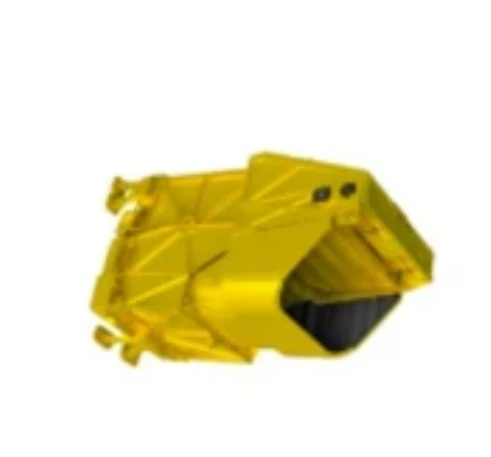
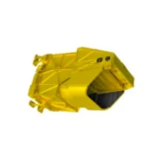
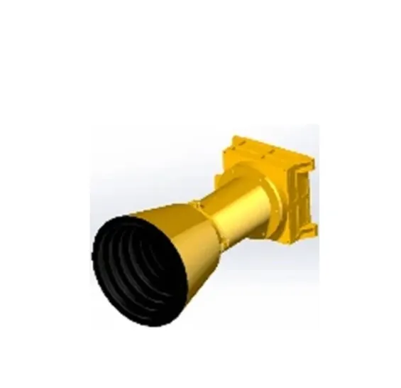
As satellite-based observation and environmental monitoring continue to evolve, the role of advanced imaging systems becomes increasingly important. One technology standing out in this transformation is the multispektral kamera, offering precise data capture across various wavelengths. At SpaceNavi Co., Ltd., we integrate cutting-edge multispectral imaging camera solutions into our satellite payloads, pushing the boundaries of what’s possible in aerospace observation and remote sensing.
Why Multispectral Imaging Matters in Satellite Platforms
Unlike conventional optical sensors, a multi spectral camera can capture data from multiple spectral bands, including visible and infrared wavelengths. This enables deeper analysis of vegetation health, urban development, water quality, and land usage. When mounted on SpaceNavi’s customized satellite platforms, the multispektral kamera becomes a key payload instrument that supports real-time, high-resolution remote sensing.
Our focus on high-efficiency systems allows integration of low cost multispectral camera modules without compromising performance. These payloads are optimized for space applications, balancing weight, power consumption, and imaging quality to suit government, academic, and environmental monitoring missions.
The synergy between our multispectral lens technologies and proprietary CubeSat platforms allows us to deliver compact, efficient, and scalable satellite solutions.
Making Multispectral Technology Accessible
With increasing demand from clients seeking environmental, agricultural, and urban analytics, the market interest to buy multispectral camera modules has grown significantly. SpaceNavi works closely with component suppliers to ensure that each multispektral kamera used on our satellites meets aerospace-grade reliability and functionality.
One emerging trend is the use of multispektrum kızılötesi kombinasyon kamerası systems, which combine infrared and visible bands for improved feature detection. Whether monitoring wildfires or mapping terrain changes, these solutions provide greater spectral depth and clarity.
As part of our commitment to accessible space technology, we’re also collaborating with optics manufacturers to develop low cost multispectral camera options with robust calibration and thermal stability. These sensors are ideal for short-term missions or experimental satellite deployments.
Practical Applications of Multispectral Satellite Imaging
SpaceNavi's satellites equipped with multispectral visible imaging camera payloads deliver critical data for agriculture, forestry, water resources, and climate change research. For instance, farmers can analyze crop stress, irrigation needs, or pest impacts using normalized difference vegetation indices (NDVI) derived from multispectral imaging camera data.
In coastal and inland water monitoring, the multispektral kamera helps detect pollution and track sediment movement. When paired with onboard AI systems, such as those developed by SpaceNavi’s satellite engineering team, the images are analyzed in near real-time to deliver actionable insights.
The technology is also essential in post-disaster assessment, allowing for damage mapping through consistent, multi-band temporal comparisons. And because the multispectral camera price has become more competitive, broader industries can now afford to integrate this technology into their remote sensing workflows.
At SpaceNavi, our vision is to make high-performance satellite imaging tools—like the multispektral kamera—more accessible, intelligent, and mission-ready. Whether you’re a researcher, agency, or commercial organization, our platforms offer a seamless way to leverage multispectral imaging camera technology for enhanced earth observation.
By combining modular payloads, innovative satellite buses, and precision optics such as the multispectral lens, we enable next-generation data collection that’s both efficient and reliable. As demand increases for scalable, affordable, and high-resolution spaceborne imaging, SpaceNavi remains committed to delivering multispectral solutions that redefine satellite-based remote sensing.


