
- Mwafrika
- Kialbeni
- Kiamhari
- Kiarabu
- Kiarmenia
- Kiazabajani
- Kibasque
- Kibelarusi
- Kibengali
- Kibosnia
- Kibulgaria
- Kikatalani
- Cebuano
- China
- Kikosikani
- Kikroeshia
- Kicheki
- Kideni
- Kiholanzi
- Kiingereza
- Kiesperanto
- Kiestonia
- Kifini
- Kifaransa
- Kifrisia
- Kigalisia
- Kijojiajia
- Kijerumani
- Kigiriki
- Kigujarati
- Krioli ya Haiti
- Kihausa
- Kihawai
- Kiebrania
- Hapana
- Miao
- Kihungaria
- Kiaislandi
- igbo
- Kiindonesia
- irish
- Kiitaliano
- Kijapani
- Kijava
- Kikanada
- kazakh
- Khmer
- Mnyarwanda
- Kikorea
- Kikurdi
- Kirigizi
- Kazi
- Kilatini
- Kilatvia
- Kilithuania
- Kilasembagi
- Kimasedonia
- Kimalagasi
- Kimalei
- Kimalayalam
- Kimalta
- Kimaori
- Marathi
- Kimongolia
- Myanmar
- Kinepali
- Kinorwe
- Kinorwe
- Oksitani
- Kipashto
- Kiajemi
- Kipolandi
- Kireno
- Kipunjabi
- Kiromania
- Kirusi
- Kisamoa
- Kigaeli cha Kiskoti
- Kiserbia
- Kiingereza
- Kishona
- Kisindhi
- Kisinhala
- Kislovakia
- Kislovenia
- Msomali
- Kihispania
- Kisunda
- kiswahili
- Kiswidi
- Kitagalogi
- Tajiki
- Kitamil
- Kitatari
- Kitelugu
- Thai
- Kituruki
- Waturukimeni
- Kiukreni
- Kiurdu
- Uighur
- Kiuzbeki
- Kivietinamu
- Kiwelisi
- Msaada
- Kiyidi
- Kiyoruba
- Kizulu
Habari za Kampuni
Uwezo wa Kampuni
Kwa sasa, kampuni imeunda kundinyota kubwa zaidi duniani la satelaiti inayohisi kwa mbali kibiashara, yenye uwezo mkubwa wa huduma. Inategemea data ya setilaiti ya kutambua kwa mbali, inaweza kuwapa wateja data ya setilaiti ya kutambua kwa mbali na azimio la muda wa juu, mwonekano wa juu wa anga, mwonekano wa juu, ufunikaji wa eneo pana kwa kasi, na huduma jumuishi za utumaji taarifa za anga kulingana na data ya setilaiti ya kutambua kwa mbali.
-

CGSTL Showcases High-Resolution Remote Sensing Satellites At Langkawi International Maritime And Aerospace Exhibition
From May 20th to 24th, 2025, the 17th Langkawi International Maritime and Aerospace Exhibition was held in Langkawi, Kedah, Malaysia.
-
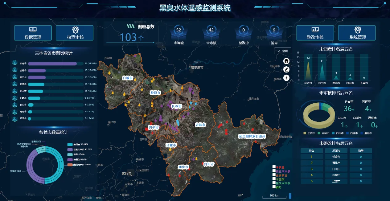
Remotely Sensed Satellite Imagery Enhancing Intelligence with SpaceNavi
As industries, governments, and research institutions continue to rely on space-based solutions for real-time analysis and planning, remotely sensed satellite imagery has become a powerful asset.
-
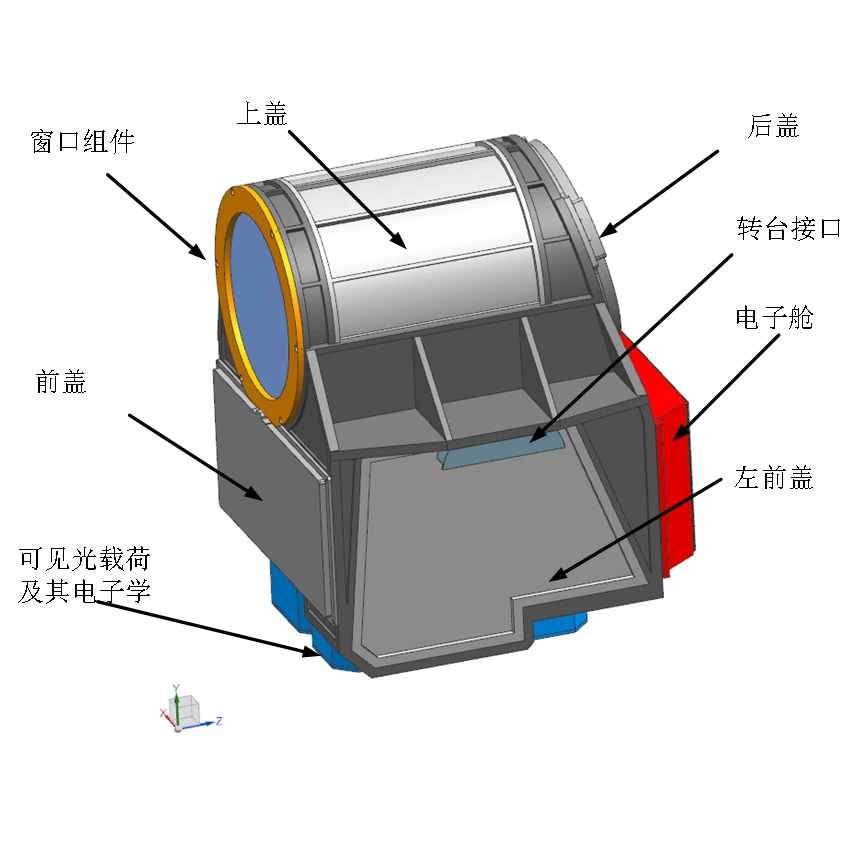
Satellite Remote Sensing Data Empowering Global Decision-Making With SpaceNavi
In an era where timely and accurate geospatial information is vital, satellite remote sensing data has emerged as a transformative asset across a wide range of industries.
-

Remote Sensing Satellite Image Applications Empowered by SpaceNavi Innovation
With the rapid evolution of Earth observation technologies, remote sensing satellite image analysis has become a crucial asset for governments, research institutions, and international development projects.
-
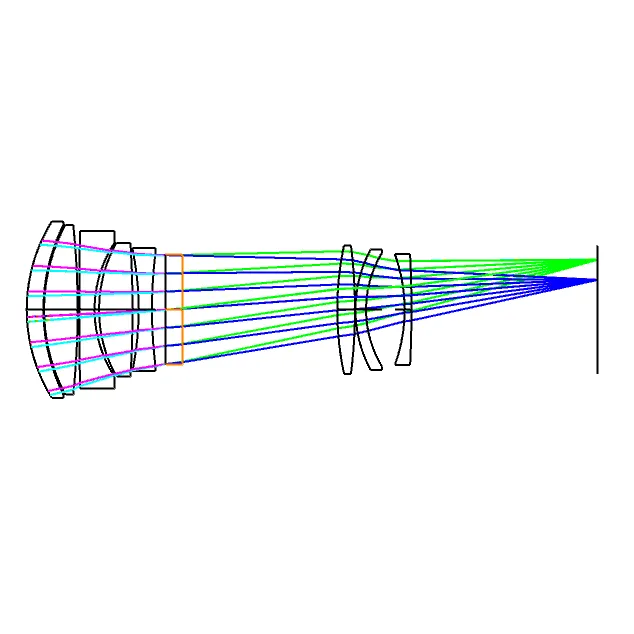
Transforming Earth Observation with Remotely Sensed Satellite Imagery
Today’s global challenges—from climate change to urbanization—demand better information from above.
-
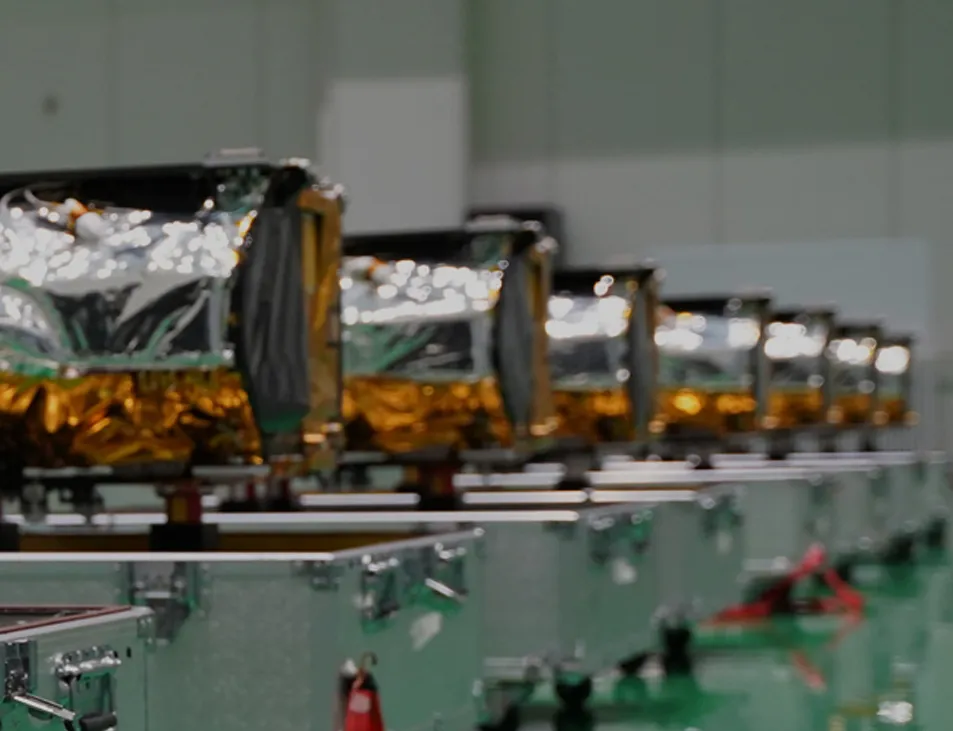
High Resolution Remote Sensing Satellites List: What Makes SpaceNavi Stand Out
The demand for advanced Earth observation continues to rise, and with it, the interest in a reliable high resolution remote sensing satellites list.
-
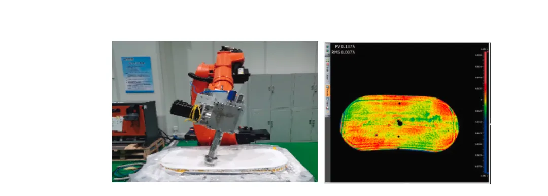
Unlocking Insights with Satellite Remote Sensing Data
As the world increasingly relies on space-based technologies, satellite remote sensing data has become a cornerstone of global decision-making.
-

Advancing Aerospace Imaging with Optic Camera and Payload Integration
The capability to capture, process, and transmit high-resolution images from space is transforming industries from agriculture to urban planning.
-
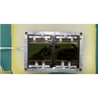
Ensuring Mission Success Through Satellite Platform Integrity
In aerospace systems, the satellite platform serves as the foundation upon which all mission-critical functions rely.
-
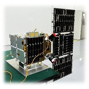
Optimizing VSAT Services for Global Satellite Connectivity
Modern communication depends on uninterrupted data flow, and VSAT services play a pivotal role in delivering broadband access where conventional infrastructure falls short.
-

Small Satellite Dish Solutions Supporting Scalable Aerospace Communication
In today’s interconnected world, even the most compact devices can deliver powerful results.
-

Satellite Connectivity Solutions Powering the Next Generation of Global Communication
In a world increasingly dependent on real-time data and seamless communication, satellite connectivity stands at the heart of innovation.