- afrikanska
- albanska
- amhariska
- arabiska
- armeniska
- azerbajdzjanska
- baskiska
- vitryska
- bengaliska
- bosniska
- bulgariska
- katalanska
- Cebuano
- Kina
- korsikanska
- Kroatisk
- tjeckiska
- danska
- holländska
- engelska
- esperanto
- estniska
- finska
- franska
- frisiska
- galiciska
- georgiska
- tyska
- grekiska
- Gujarati
- haitisk kreol
- Hausa
- hawaiianska
- hebreiska
- Inga
- Miao
- ungerska
- isländska
- igbo
- indonesiska
- irländsk
- italienska
- japanska
- javanesiska
- Kannada
- kazakiska
- Khmer
- rwandiska
- koreanska
- kurdiska
- kirgiziska
- Arbetskraft
- latin
- lettiska
- litauiska
- Luxemburgiska
- makedonska
- Madagaskar
- malajiska
- Malayalam
- maltesiska
- Maori
- Marathi
- mongoliska
- Myanmar
- nepalesiska
- norska
- norska
- occitanska
- Pashto
- persiska
- polska
- portugisiska
- Punjabi
- rumänska
- ryska
- Samoan
- skotsk gaeliska
- serbiska
- engelska
- Shona
- Sindhi
- singalesiska
- slovakiska
- slovenska
- somaliska
- spanska
- Sundanesiska
- Swahili
- svenska
- Tagalog
- tadzjikiska
- Tamil
- tatariska
- Telugu
- Thai
- turkiska
- turkmeniska
- ukrainska
- Urdu
- Uigur
- uzbekiska
- vietnamesiska
- walesiska
- Hjälp
- jiddisch
- Yoruba
- Zulu
High Resolution Satellite App: Bringing Detailed Earth Imaging to Your Fingertips
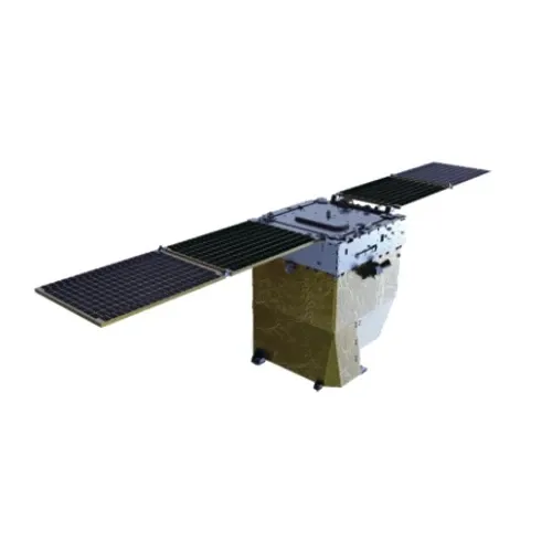
In the age of digital technology and mobile computing, a high resolution satellite app has become an essential tool for users seeking to explore and analyze Earth’s surface directly from their smartphones or tablets. These apps leverage satellite imagery data to provide users with detailed views of geographic locations around the globe. From professionals in environmental science and urban planning to casual explorers and students, the accessibility of high resolution satellite apps has transformed how we engage with geospatial information. Combining the power of satellites with the convenience of mobile devices, these apps provide interactive experiences that support a wide array of applications. This article examines the features and benefits of high resolution satellite apps, highlights popular platforms such as Google Earth and NASA Worldview, and discusses educational resources to enhance understanding of satellite imagery.
Features and Benefits of High Resolution Satellite Apps
A high resolution satellite app typically offers users detailed satellite imagery with intuitive tools for navigation, zooming, and layering geographic information. These apps allow users to pan across continents, zoom into neighborhoods, and examine intricate details such as roads, rivers, and vegetation. Many apps incorporate real-time satellite imagery free or frequently updated images, ensuring users have access to current Earth observations.
One of the key benefits of using a high resolution satellite app is portability. Unlike traditional desktop GIS software or web platforms, these apps enable users to carry powerful geospatial tools wherever they go. Field researchers, urban planners, and disaster response teams can access updated satellite data directly on-site, facilitating timely decisions and data collection.
Integration with GPS functionality is another important feature. Users can identify their exact location on the satellite map, mark points of interest, and even track routes during fieldwork. This makes high resolution satellite apps invaluable for activities such as hiking, environmental surveys, and infrastructure inspections.
Moreover, many apps support data layering, allowing users to add maps, weather information, or demographic data over the satellite imagery. This enhances the contextual understanding of the observed regions and supports multi-dimensional analysis.
Popular Platforms Providing High Resolution Satellite Apps
Among the most renowned high resolution satellite apps is Google Earth, available on both iOS and Android devices. This app provides access to an extensive library of satellite imagery sourced from multiple providers, including commercial satellites and government agencies like NASA. Users can explore detailed terrain, 3D buildings, and underwater topography with a few taps.
Another significant platform is NASA Worldview, which offers a mobile-friendly interface to access a wide range of satellite data layers. Through the app or its mobile web version, users can monitor atmospheric phenomena, track wildfire progress, or observe weather patterns in near real-time. The availability of real-time satellite imagery free through NASA Worldview is particularly valuable for scientists and emergency responders.
Additional apps provide specialized functionalities, such as agriculture monitoring, land use mapping, or environmental advocacy. These niche apps often utilize high resolution satellite images to offer tailored insights, supporting users in making data-driven decisions.
Educational and Research Support for High Resolution Satellite Apps
To maximize the utility of high resolution satellite apps, users benefit from foundational knowledge in remote sensing and geospatial analysis. Comprehensive remote sensing books cover essential topics such as image acquisition, sensor technologies, and data processing techniques, equipping users with the theoretical framework needed to interpret satellite imagery accurately.
Many free remote sensing PDFs and online courses further support learning by providing step-by-step guides, case studies, and software tutorials. These materials are ideal for students, educators, and professionals seeking to enhance their skills.
Engaging with scholarly publications like the Remote Sensing journal keeps users informed about the latest advancements in satellite imaging and its applications. This continuous learning fosters deeper understanding and encourages innovative uses of high resolution satellite images accessed via mobile apps.
Furthermore, incorporating knowledge about remote sensing in geography helps users contextualize satellite data within physical landscapes and human activity patterns, improving analysis quality.
The Growing Importance of High Resolution Satellite Apps in Modern Society
As global challenges such as climate change, urbanization, and natural disasters intensify, the role of high resolution satellite apps in providing timely and detailed Earth observations becomes increasingly critical. These apps empower governments, NGOs, researchers, and citizens to monitor environmental conditions, manage resources, and respond effectively to emergencies.
The democratization of satellite data through mobile apps also promotes greater public awareness and participation in environmental conservation and urban planning. Citizen science initiatives, enabled by easy access to satellite imagery, encourage communities to contribute valuable observations and advocate for sustainable policies.
Technological advances continue to improve app capabilities, incorporating artificial intelligence for automatic feature detection, augmented reality for immersive experiences, and enhanced data visualization tools. These developments ensure that high resolution satellite apps remain at the forefront of geospatial technology.
Conclusion
The advent of the high resolution satellite app has transformed how people interact with detailed satellite imagery, making powerful geospatial tools accessible anytime and anywhere. Platforms such as Google Earth and NASA Worldview provide users with extensive satellite data, including real-time satellite imagery free, facilitating exploration, research, and decision-making.
Supported by educational resources like remote sensing books, remote sensing PDFs, and the Remote Sensing journal, users can deepen their understanding and leverage these apps effectively across numerous disciplines. As technology evolves and data availability expands, high resolution satellite apps will continue to play a vital role in advancing global knowledge, environmental stewardship, and societal resilience.


