
- african
- albanez
- amharică
- arabic
- armean
- Azerbaidjan
- bască
- Belarus
- bengaleză
- Bosniac
- bulgar
- catalan
- Cebuano
- China
- corsicană
- croat
- ceh
- danez
- olandeză
- engleză
- esperanto
- estonă
- finlandeză
- franceză
- frizonă
- Galician
- georgian
- german
- greacă
- Gujarati
- creolul haitian
- Hausa
- hawaian
- ebraică
- Nu
- Miao
- maghiară
- islandez
- igbo
- indoneziană
- irlandez
- italian
- japonez
- javaneză
- Kannada
- kazah
- Khmer
- ruandez
- coreean
- kurdă
- Kârgâz
- Muncă
- latin
- letonă
- lituanian
- luxemburghez
- macedonean
- malgaș
- Malaeză
- Malayalam
- malteză
- maori
- marathi
- mongol
- Myanmar
- nepaleză
- norvegian
- norvegian
- occitană
- Pashto
- persană
- Lustrui
- portugheză
- punjabi
- română
- rusă
- samoană
- gaelic scoțian
- sârb
- engleză
- Shona
- Sindhi
- Sinhala
- slovacă
- slovenă
- somalez
- spaniolă
- Sundaneza
- Swahili
- suedez
- tagalog
- Tadjik
- tamil
- tătar
- Telugu
- thailandez
- turc
- turkmeni
- ucrainean
- Urdu
- Uighur
- uzbec
- vietnamez
- galeză
- Ajutor
- idiş
- Yoruba
- Zulu
Noutăți de companie
Capacitatea companiei
În prezent, compania a construit cea mai mare constelație comercială de sateliți de teledetecție submetru din lume, cu capacități de serviciu puternice. Bazându-se pe datele satelitului de teledetecție, poate oferi clienților date de teledetecție prin satelit cu rezoluție în timp înaltă, rezoluție spațială ridicată, rezoluție spectrală ridicată, acoperire rapidă a zonei extinse și servicii de aplicații integrate de informații spațiale bazate pe date de teledetecție prin satelit.
-
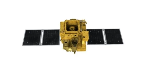
How Satellite Platforms Are Shaping The Future Of Remote Sensing
The advancement of satellite platforms has been instrumental in expanding the capabilities and applications of remote sensing technologies.
-
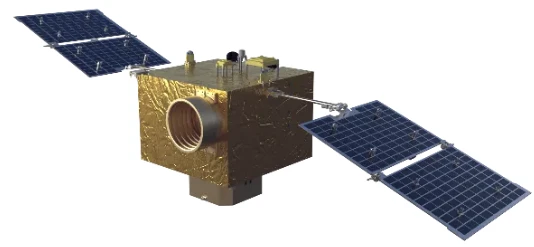
Innovations In Satellite Platforms For Enhanced Remote Sensing Applications
In the rapidly evolving field of space technology, satellite platforms play a crucial role in advancing remote sensing capabilities.
-
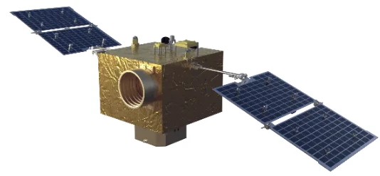
The Role Of Satellite Platforms In Advancing Remote Sensing Technologies
As space technology progresses, satellite platforms have become fundamental in supporting diverse remote sensing missions.
-
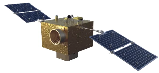
Exploring The Evolution Of Satellite Platforms In Remote Sensing
The landscape of remote sensing has been dramatically transformed by advances in satellite platforms.
-
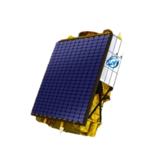
Multispectral Satellite Imagery Driving Innovation In Urban Planning
Urban planners and city officials are increasingly leveraging multispectral satellite imagery to create smarter, more sustainable cities.
-
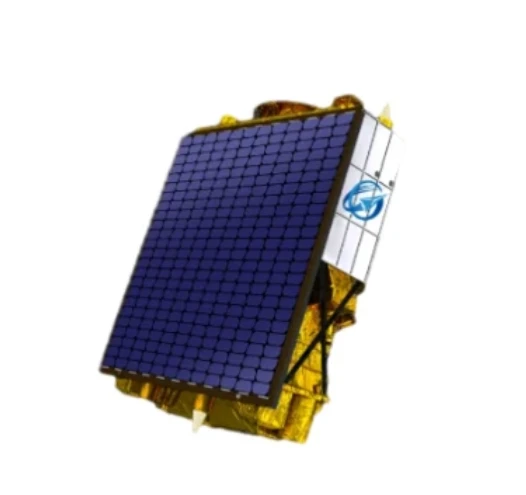
The Growing Importance Of Multispectral Satellite Imagery In Disaster Management
In recent years, multispectral satellite imagery has emerged as a critical tool for disaster management and emergency response.
-
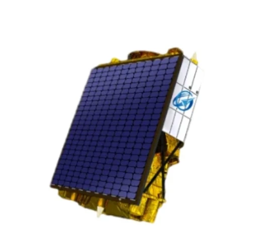
Multispectral Satellite Imagery: A Key Tool For Environmental Conservation
The use of multispectral satellite imagery has become indispensable for environmental conservation efforts worldwide.
-
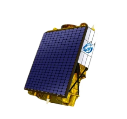
Unlocking Agricultural Insights With Multispectral Satellite Imagery
The advent of multispectral satellite technology has ushered in a new era for precision agriculture and sustainable farming practices.
-
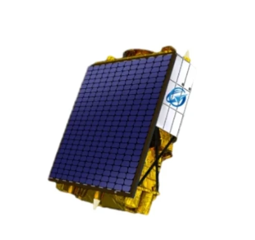
Advancing Environmental Monitoring With Multispectral Satellite Imagery
In the evolving field of remote sensing, multispectral satellite imagery has become an indispensable resource for environmental monitoring and management.
-
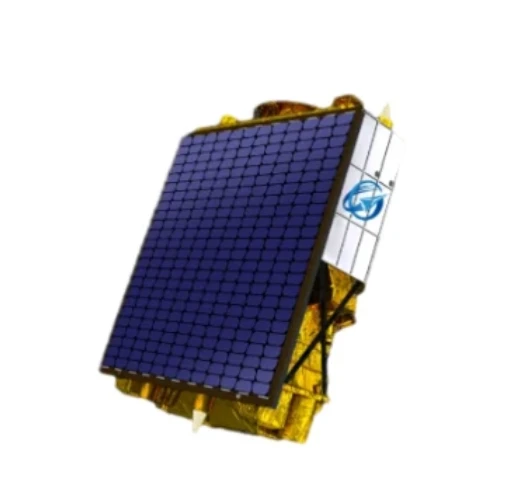
Harnessing The Power Of Multispectral Satellite Imagery For Advanced Earth Observation
In recent years, multispectral satellite technology has revolutionized the way scientists, governments, and businesses observe and analyze the Earth’s surface.
-
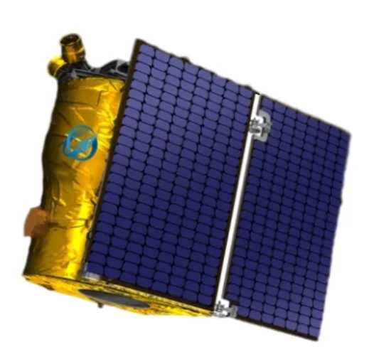
Advancing Connectivity With Mobile Satellite Internet And Unlimited Satellite Internet Plans
The need for reliable internet access in every corner of the globe has propelled innovations in satellite technology and network infrastructure.
-
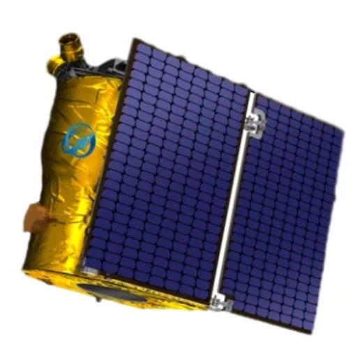
Innovations In Satellite Dish Installation And Portable Satellite Internet
Modern communication depends heavily on the rapid deployment and reliability of satellite systems.