
- Afrikan
- Albaniż
- Amhariku
- Għarbi
- Armenjan
- Ażerbajġani
- Bask
- Belarussu
- Bengali
- Bosnijan
- Bulgaru
- Katalan
- Cebuano
- Iċ-Ċina
- Korsiku
- Kroat
- Ċek
- Daniż
- Olandiż
- Ingliż
- Esperanto
- Estonjan
- Finlandiż
- Franċiż
- Friżjan
- Galizjan
- Ġorġjan
- Ġermaniż
- Grieg
- Guġarati
- Kreol Ħaitjan
- Hausa
- Ħawajjan
- Ebrajk
- Nru
- Miao
- Ungeriż
- Iżlandiż
- igbo
- Indoneżjan
- Irlandiż
- Taljan
- Ġappuniż
- Ġavaniż
- Kannada
- każak
- Khmer
- Rwandan
- Korean
- Kurdi
- Kirgiż
- Laburista
- Latin
- Latvjan
- Litwan
- Lussemburgiż
- Maċedonjan
- Madagaskar
- Malajan
- Malajalam
- Malti
- Maori
- Marathi
- Mongoljan
- Il-Mjanmar
- Nepaliż
- Norveġiż
- Norveġiż
- Oċċitan
- Pashto
- Persjan
- Pollakk
- Portugiż
- Punġabi
- Rumen
- Russu
- Samoan
- Galliku Skoċċiż
- Serb
- Ingliż
- Shona
- Sindhi
- Sinħaliż
- Slovakk
- Sloven
- Somali
- Spanjol
- Sundaniż
- Swaħili
- Svediż
- Tagalog
- Taġik
- Tamil
- Tatar
- Telugu
- Tajlandiż
- Tork
- Turkmeni
- Ukrain
- Urdu
- Uighur
- Użbek
- Vjetnamiż
- Welsh
- Għajnuna
- Jiddix
- Joruba
- Żulu
aħbarijiet
Multispectral Satellite Imagery: Enhancing Remote Sensing for Smarter Decision-Making
In an era of data-driven insights and global observation, multispectral satellite technology has become an essential tool for governments, researchers, and commercial enterprises. With the ability to capture information across multiple wavelengths beyond visible light, multispectral satellite imagery empowers users to make more informed decisions in environmental monitoring, agriculture, urban planning, and beyond.
Unlike traditional photography, which limits itself to the visible spectrum, multi spectral satellite imagery penetrates deeper by recording data in discrete spectral bands, offering clearer insights into the Earth's surface and atmosphere.
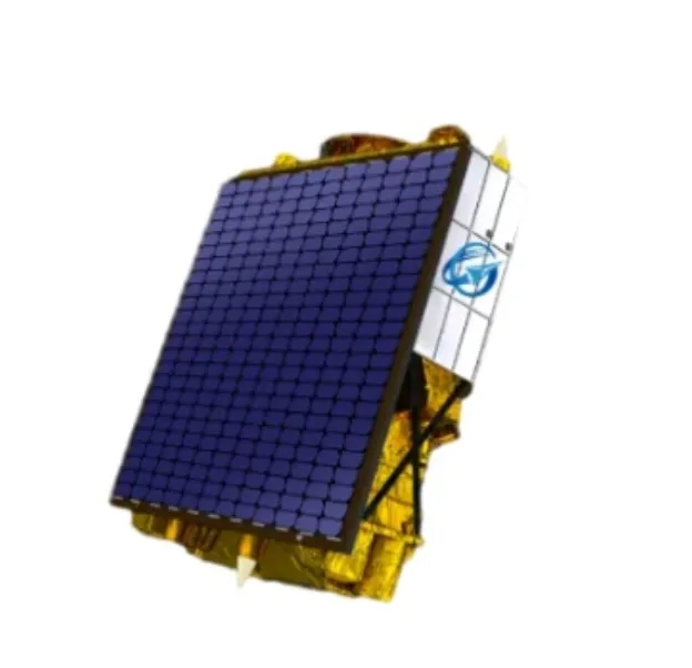
What is Multispectral Satellite Imagery?
Multispectral satellite imagery refers to images captured by satellites equipped with sensors that record data in multiple specific spectral bands—typically including visible (RGB), near-infrared, shortwave infrared, and sometimes thermal wavelengths. This allows for the identification of materials and conditions that are invisible to the human eye.
This advanced imagery helps identify vegetation health, moisture content, pollution levels, or geological formations. For example, vegetation reflects infrared light differently when healthy versus stressed, and this difference can be clearly observed using multi spectral satellite imagery.
Real-World Applications of Multispectral Satellites
The real-world utility of multispectral satellite systems spans a wide range of industries. In precision agriculture, farmers can monitor crop health, irrigation effectiveness, and pest infestations by analyzing various spectral bands. By doing so, they can reduce input costs while improving yield quality and sustainability.
In urban environments, multispectral satellite imagery helps city planners identify land use patterns, monitor urban sprawl, and evaluate infrastructure development over time. Disaster response agencies utilize the data for flood mapping, wildfire tracking, and post-disaster impact assessments.
Environmental scientists, on the other hand, use multi spectral satellite imagery to detect deforestation, monitor coral reef bleaching, and track climate-related changes over large geographical areas. The multispectral approach offers consistency and coverage that ground-based surveys simply cannot match.
Advantages of Multi Spectral Satellite Imagery in Modern Remote Sensing
What makes multi spectral satellite imagery invaluable in modern remote sensing is its precision and adaptability. With satellites continuously orbiting the Earth, the imagery provides not only a wide spatial overview but also high temporal frequency. This means users can access both historical and near real-time data to track trends or evaluate the effectiveness of intervention strategies.
Moreover, the increasing availability of commercial multispectral satellite services has made it possible for private companies and local governments to integrate this powerful data into their GIS systems or operational dashboards, creating smarter decision workflows.
The Future of Multispectral Satellites
The next generation of multispectral satellite platforms is focusing on increasing spatial resolution, spectral range, and on-board data processing capabilities. Paired with AI-powered analytics and cloud-based distribution, multispectral satellite imagery is evolving from a data source into a real-time decision-making asset.
These advancements will further improve our ability to respond to global challenges such as food insecurity, water management, climate change, and biodiversity loss.
Conclusion: Multispectral Satellite Imagery for a Data-Rich Tomorrow
Multispectral satellite technology is more than just imaging—it’s a transformative tool that enables deeper insight into our world. Whether monitoring crop yields, forecasting natural disasters, or optimizing infrastructure development, multispectral satellite imagery provides the clarity and consistency needed in a rapidly changing world.
By embracing the potential of multi spectral satellite imagery, industries and institutions can drive smarter, more sustainable outcomes for the planet and its people.


