- Afrika
- bahasa Albania
- Amharic
- bahasa arab
- bahasa Armenia
- Azerbaijan
- Basque
- Belarusia
- Benggali
- Bosnia
- bahasa Bulgaria
- Catalan
- Cebuano
- China
- Korsika
- bahasa Croatia
- bahasa Czech
- Danish
- Belanda
- Inggeris
- Esperanto
- bahasa Estonia
- bahasa Finland
- Perancis
- Frisian
- Galicia
- Georgian
- Jerman
- bahasa Yunani
- Gujerat
- Kreol Haiti
- Hausa
- hawaii
- bahasa Ibrani
- Tidak
- Miao
- bahasa Hungary
- bahasa Iceland
- igbo
- Indonesia
- irish
- Itali
- Jepun
- bahasa jawa
- Kannada
- kazakh
- Khmer
- Rwanda
- Korea
- Kurdish
- Kyrgyz
- buruh
- bahasa Latin
- bahasa Latvia
- bahasa Lithuania
- Luxembourgish
- Macedonia
- Malagasy
- Melayu
- Malayalam
- bahasa Malta
- Maori
- Marathi
- Mongolia
- Myanmar
- Nepal
- bahasa Norway
- bahasa Norway
- Occitan
- Pashto
- Parsi
- Poland
- Portugis
- Punjabi
- bahasa Romania
- bahasa Rusia
- bahasa Samoa
- Gaelik Scotland
- bahasa Serbia
- Inggeris
- Shona
- Sindhi
- Sinhala
- bahasa Slovak
- Bahasa Slovenia
- Somalia
- bahasa Sepanyol
- bahasa sunda
- bahasa Swahili
- bahasa Sweden
- bahasa Tagalog
- bahasa Tajik
- bahasa Tamil
- Tatar
- Telugu
- Thai
- bahasa Turki
- orang Turkmen
- Ukraine
- bahasa Urdu
- Uighur
- Uzbek
- bahasa Vietnam
- bahasa Wales
- Tolong
- Yiddish
- Yoruba
- Zulu
Overview of Satellite Remote Sensing
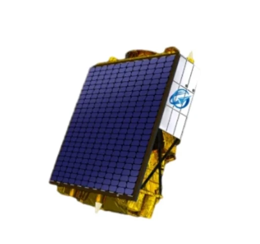
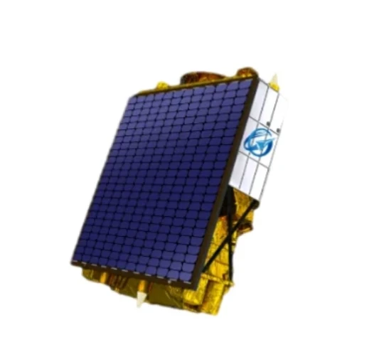
Satellite remote sensing has transformed the way we observe and analyze our planet. By collecting data through various types of satellites, we can monitor the Earth’s surface, atmosphere, and oceans in real-time, providing valuable insights for a wide range of applications, from agriculture to environmental protection. This article explores satellite remote sensing data, how to get live satellite images, and its role in hydrological data assimilation.
What is Satellite Remote Sensing?
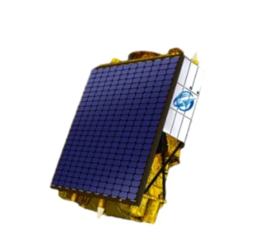
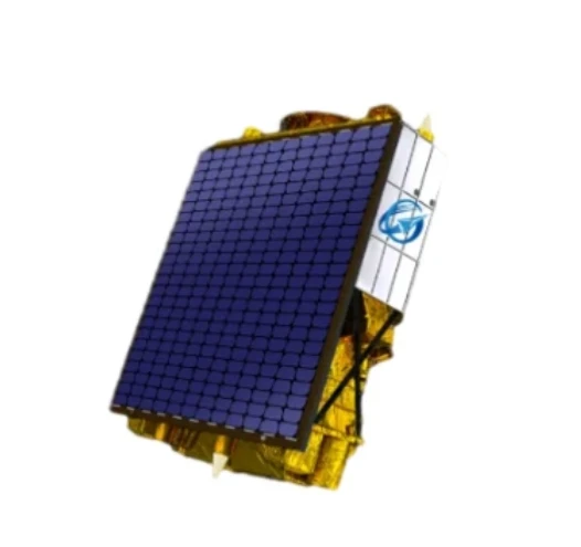
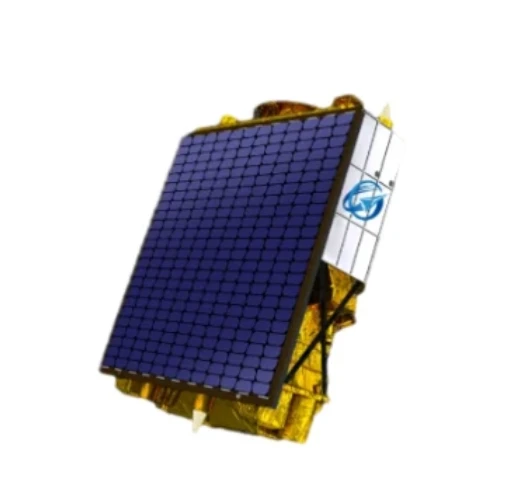
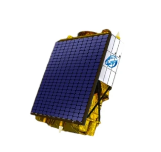
Satellite remote sensing refers to the process of collecting data about the Earth's surface and atmosphere using satellites orbiting the planet. This data is gathered through sensors that detect electromagnetic radiation, such as visible light, infrared, and microwave signals. These sensors can capture information on everything from vegetation and land cover to temperature and atmospheric conditions.
The data collected by satellites is used in a wide range of fields, including environmental monitoring, disaster management, climate change research, agriculture, and urban planning. For instance, remote sensing data allows scientists to track deforestation, monitor weather patterns, assess crop health, and measure sea levels.
Satellites equipped with remote sensing technology are constantly gathering and transmitting data back to Earth, where it is processed and analyzed by researchers and professionals. The technology allows for high-resolution, large-scale observations that would be impossible with ground-based methods.
How to Get Live Satellite Images
Obtaining live satellite images has become more accessible with advances in technology. These images are useful for various applications, such as monitoring natural disasters, tracking climate changes, and analyzing urban growth. Here’s how you can access live satellite images:
Satellite Remote Sensing in Hydrological Data Assimilation
Hydrological data assimilation is a critical process that involves integrating data from various sources to improve hydrological models used for predicting water movement, distribution, and quality. Satellite remote sensing data plays a significant role in hydrological data assimilation by providing real-time or near-real-time measurements of variables like precipitation, soil moisture, snow cover, and river flow. Here's how satellite remote sensing contributes to this field:
Precipitation Monitoring: Satellites can provide detailed observations of rainfall and snow patterns, which are essential for understanding hydrological cycles and predicting flooding or drought conditions. Remote sensing instruments like the TRMM (Tropical Rainfall Measuring Mission) and GPM (Global Precipitation Measurement) satellite networks offer global precipitation data that can be assimilated into hydrological models.
Soil Moisture Measurements: Satellites such as SMAP (Soil Moisture Active Passive) measure soil moisture levels, a crucial factor for predicting water availability and the onset of drought. These measurements are integrated into hydrological models to improve water resource management, agricultural planning, and flood forecasting.
Flood Prediction and Management: Satellites equipped with synthetic aperture radar (SAR) sensors, like the Sentinel-1 series, are capable of detecting changes in surface water bodies, which is essential for flood monitoring and management. These remote sensing data sets provide critical information to predict flood events and assist in disaster response.
Model Calibration and Validation: Satellite data helps calibrate hydrological models by providing real-world observations against which model predictions can be tested. For example, land surface temperature measurements from satellites can be used to validate models that predict evaporation rates, which are important in understanding water loss and availability.
By integrating satellite remote sensing data into hydrological data assimilation systems, researchers can create more accurate models, leading to better decision-making in water management, disaster preparedness, and environmental protection.
Advantages of Using Satellite Remote Sensing for Hydrological Data Assimilation
The integration of satellite remote sensing data into hydrological data assimilation offers numerous advantages:
Global Coverage: Satellite data can be accessed from anywhere on Earth, allowing for continuous monitoring of hydrological variables across large areas, even in remote or inaccessible regions.
Real-Time Data: Satellites provide near-real-time data, allowing for timely assessments of hydrological conditions, which is critical for flood forecasting, drought monitoring, and emergency response.
Resolusi Tinggi: Modern satellite instruments offer high-resolution data, enabling more precise measurements of hydrological variables. This is particularly important for understanding small-scale variations in soil moisture, precipitation, or river flow.
Kos-Efektif: Collecting hydrological data via satellites is often more cost-effective than ground-based monitoring, especially for large-scale projects or in areas where data collection is difficult or expensive.
Long-Term Monitoring: Satellite data is available over extended periods, allowing for long-term monitoring of hydrological patterns, which is essential for studying the impacts of climate change and human activities on water resources.
Satellite Remote Sensing Data FAQs
What is satellite remote sensing data?
Satellite remote sensing data refers to information collected by satellites using sensors that detect electromagnetic radiation. These sensors capture data about the Earth's surface, atmosphere, and oceans, providing valuable insights for various applications like environmental monitoring, agriculture, and climate research.
How does satellite remote sensing help in flood prediction?
Satellites equipped with synthetic aperture radar (SAR) sensors, like Sentinel-1, detect changes in surface water levels. This data helps monitor flood events and provides critical information for flood prediction and emergency management.
What advantages does satellite remote sensing offer for hydrological monitoring?
Satellite remote sensing offers global coverage, real-time data, high resolution, cost-effectiveness, and long-term monitoring capabilities, all of which contribute to more accurate and efficient hydrological data assimilation and water resource management.


