- អាហ្រ្វិក
- អាល់បានី
- អាំហារិក
- ភាសាអារ៉ាប់
- អាមេនី
- អាស៊ែបៃហ្សង់
- បាស
- បេឡារុស្ស
- បង់ក្លាដែស
- បូស្នៀ
- ប៊ុលហ្គារី
- កាតាឡាន
- សេប៊ូណូ
- ចិន
- Corsican
- ក្រូអាត
- ឆេក
- ដាណឺម៉ាក
- ហូឡង់
- ភាសាអង់គ្លេស
- អេស្ប៉ារ៉ាន់តូ
- អេស្តូនី
- ហ្វាំងឡង់
- បារាំង
- ហ្វ្រីសៀន
- ហ្គាលីសៀន
- ហ្សកហ្ស៊ី
- អាឡឺម៉ង់
- ក្រិក
- ហ្គូចារ៉ាទី
- ក្រេអូល ហៃទី
- ហូសា
- ហាវ៉ៃ
- ភាសាហេព្រើរ
- ទេ
- Miao
- ហុងគ្រី
- អ៊ីស្លង់
- អ៊ីកបូ
- ឥណ្ឌូនេស៊ី
- អៀរឡង់
- អ៊ីតាលី
- ជប៉ុន
- ជ្វា
- កាណាដា
- កាហ្សាក់ស្ថាន
- ខ្មែរ
- រវ៉ាន់ដា
- កូរ៉េ
- ឃឺដ
- កៀហ្ស៊ីស៊ី
- ពលកម្ម
- ឡាតាំង
- ឡាតវី
- លីទុយអានី
- លុចសំបួរ
- ម៉ាសេដូនៀ
- ម៉ាឡាហ្គាស៊ី
- ម៉ាឡេ
- ម៉ាឡាយ៉ាឡា
- ម៉ាល់តា
- ម៉ៅរី
- ម៉ារ៉ាធី
- ម៉ុងហ្គោលី
- មីយ៉ាន់ម៉ា
- នេប៉ាល់
- ន័រវេស
- ន័រវេស
- អូស៊ីតាន់
- ប៉ាសតូ
- ពែរ្ស
- ប៉ូឡូញ
- ព័រទុយហ្គាល់
- ពុនចាប៊ី
- រ៉ូម៉ានី
- រុស្សី
- សាម័រ
- ស្កុតឡេក
- ស៊ែប៊ី
- ភាសាអង់គ្លេស
- សូណា
- ស៊ីនឌី
- ស៊ីនហាឡា
- ស្លូវ៉ាគី
- ស្លូវេនី
- សូម៉ាលី
- ភាសាអេស្ប៉ាញ
- ស៊ុនដា
- ស្វាហ៊ីលី
- ស៊ុយអែត
- តាកាឡុក
- តាជីក
- តាមីល
- តាតា
- តេលូហ្គូ
- ថៃ
- ទួរគី
- តួកមេន
- អ៊ុយក្រែន
- អ៊ូឌូ
- អ៊ុយហ្គួរ
- អ៊ូសបេក
- វៀតណាម
- វែល
- ជំនួយ
- យីឌីស
- យូរូបា
- ហ្សូលូ
Real-Time Satellite Imagery Free: Accessing Up-to-the-Minute Views of Earth
The advent of real-time satellite imagery free has transformed how scientists, governments, and the public observe and respond to Earth's dynamic changes. Providing nearly instantaneous views from space, this technology enables rapid assessment of natural disasters, environmental monitoring, and global events. Through platforms offering free satellite imagery, including NASA Worldview and high resolution satellite imagery Google Earth, users can explore detailed images updated frequently without cost. This article discusses the significance of real-time satellite imagery free, reviews popular sources, explains technical aspects such as satellite camera megapixel and satellite camera view, and introduces complementary technologies like remote sensing microwave and live satellite camera feeds.
The Importance of Real-Time Satellite Imagery Free
Real-time satellite imagery free refers to satellite images delivered shortly after capture, minimizing delays between observation and accessibility. This immediacy is crucial for monitoring rapidly changing phenomena such as hurricanes, wildfires, floods, and volcanic eruptions.
Emergency response teams rely on timely satellite data to evaluate damage, track storm paths, and coordinate evacuations. Environmental organizations use real-time images to observe deforestation, ice melt, and other ecological shifts, allowing swift intervention when necessary.
The accessibility of real-time satellite imagery free democratizes information, empowering not only experts but also educators, students, journalists, and citizens to stay informed and engaged with planetary changes.
Popular Platforms Offering Real-Time Satellite Imagery
Several platforms provide access to real-time satellite imagery free, each catering to different user needs:
NASA Worldview offers a user-friendly interface for browsing near real-time data from multiple satellite sensors, integrating live satellite camera streams for dynamic Earth views.
Google Earth provides detailed high-resolution imagery with frequent updates, although not always real-time, it offers vast archives of past satellite images alongside newer data.
Other specialized services stream live satellite camera live online NASA views, including real-time feeds from cameras on the International Space Station, providing captivating perspectives of Earth.
The combination of these resources offers broad access to satellite data at no cost, enhancing situational awareness and scientific research.
Technical Aspects: Satellite Cameras and Image Quality
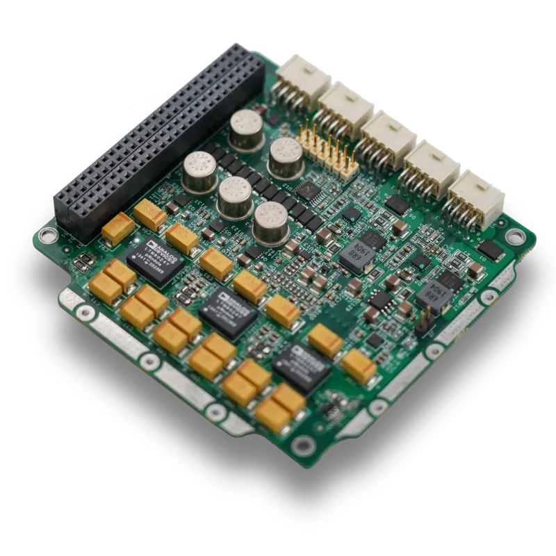
Understanding the hardware behind satellite imagery enriches the user experience. Key factors include satellite camera megapixel, which determines image resolution, and satellite camera price, influencing the availability and capabilities of different satellite systems.
Higher megapixel counts produce clearer, more detailed images, critical for applications needing precise information, such as urban planning or environmental monitoring.
Satellite camera view and satellite camera location relate to the angle and position of sensors, affecting image coverage, resolution, and revisit times. For example, geostationary satellites offer continuous views of a fixed area, ideal for weather monitoring, while polar orbiting satellites provide global coverage but with less frequent passes.
Complementary Technologies: Remote Sensing Microwave and Live Satellite Cameras
Beyond optical images, remote sensing microwave technology enhances Earth observation by penetrating clouds and capturing data regardless of weather or lighting conditions. This capability is vital for monitoring soil moisture, ice extent, and precipitation.
Additionally, live satellite camera feeds give users real-time video or images from space, often broadcasted through platforms linked with NASA and other space agencies. These streams add a dynamic dimension to static satellite images, allowing continuous observation of Earth’s surface and atmosphere.
Educational Resources and Future Outlook
For users eager to understand the science behind satellite imagery, a comprehensive remote sensing book is invaluable. Such texts cover sensor technology, image processing, and applications, providing context for interpreting high resolution satellite images and real-time data.
As satellite technology advances, the availability and quality of real-time satellite imagery free will continue to improve, enabling even more timely and detailed Earth observations accessible to a growing audience.
Conclusion
Real-time satellite imagery free offers unparalleled opportunities to monitor Earth's ever-changing landscape. Through platforms like NASA Worldview and high resolution satellite imagery Google Earth, users gain free access to detailed, up-to-date images that support disaster response, environmental management, and public awareness.
By understanding the role of satellite camera megapixel, satellite camera price, and satellite camera view, users appreciate the technology that makes these images possible. Complementary tools like remote sensing microwave and live satellite camera streams further enrich Earth observation capabilities.
Together, these resources and technologies democratize access to vital information, fostering a more informed and responsive global community.


